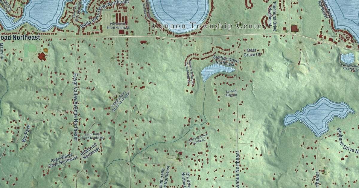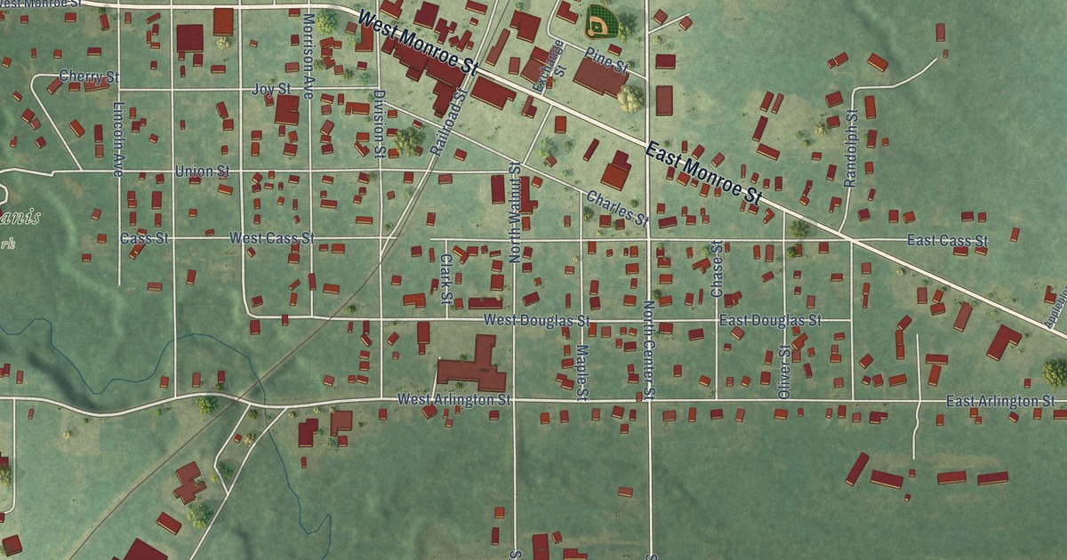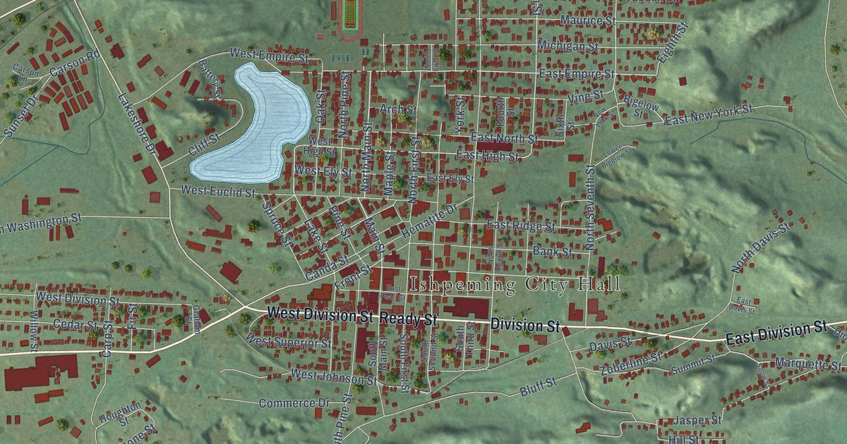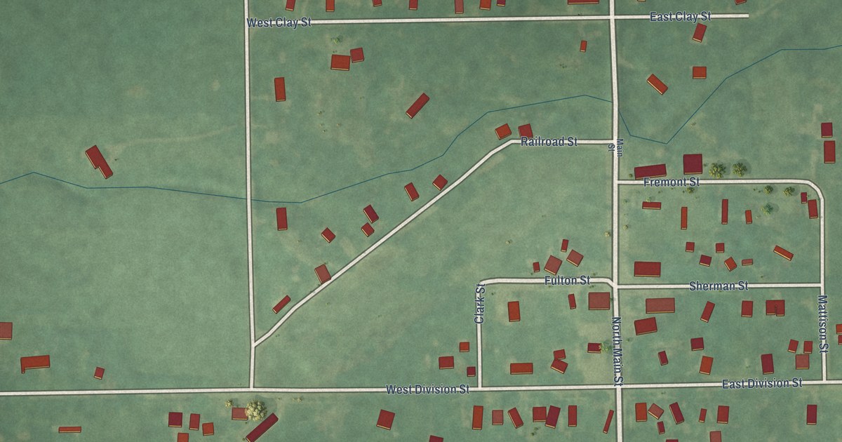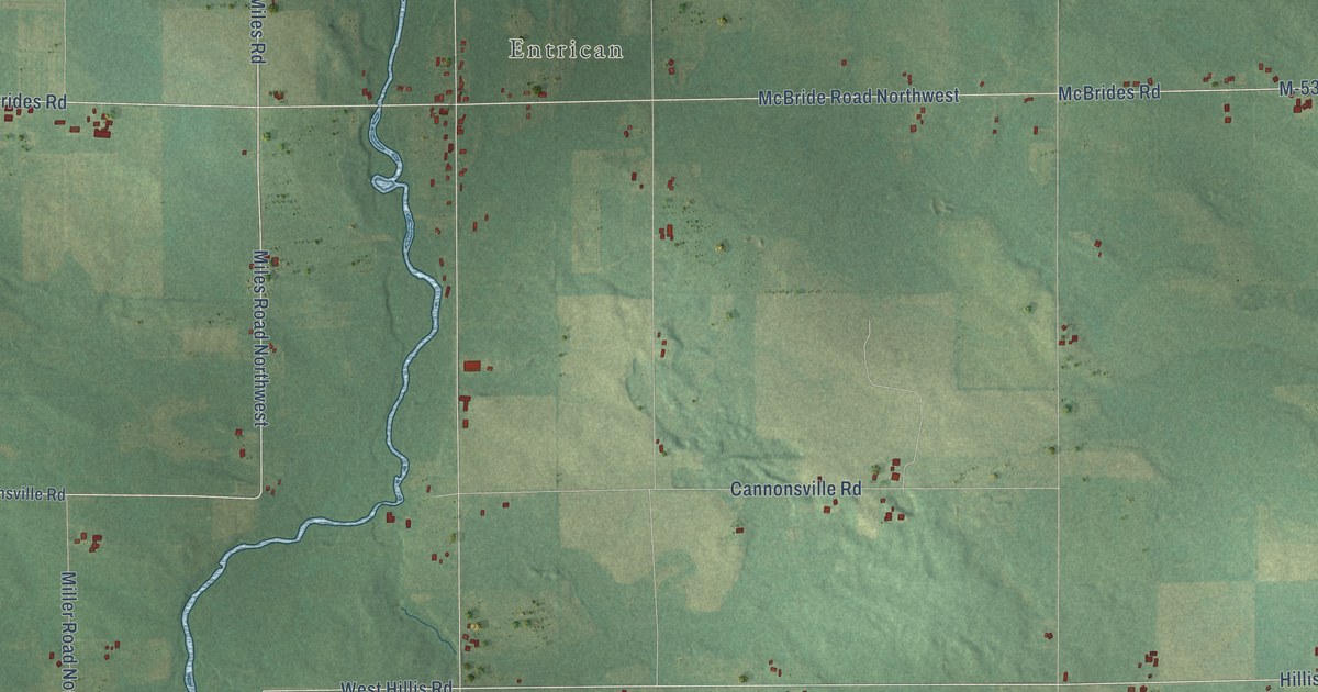
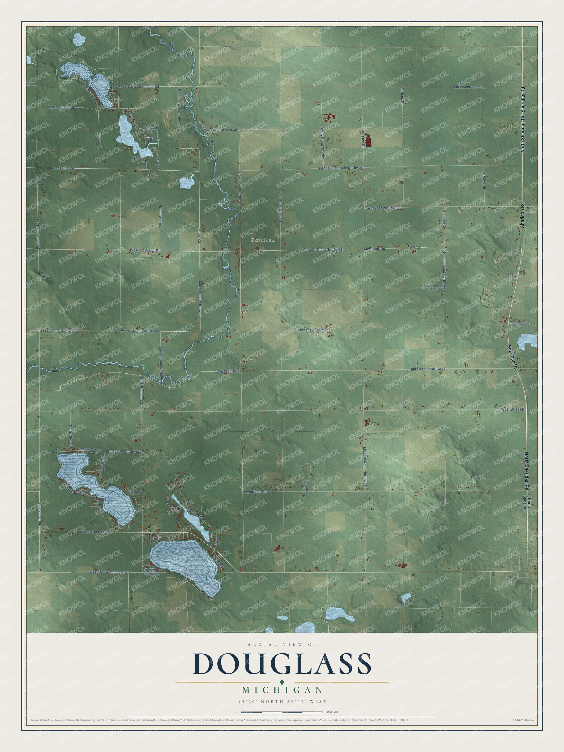
This beautifully detailed map of Douglass, Michigan was created in 2026 using aerial imagery combined with modern topographical, census, street and landmark data. It's a modern aerial view of Douglass in Montcalm County, Michigan, that combines modern data with a vintage aesthetic. The roads feature printed names, and if you look closely you can find your exact house accurately shown in its correct location.
Explore an aerial view of Douglass, Michigan
On this map you'll find Entrican, Sheridan Road, North Sheridan Road, Lake Road, Miles Road, West Dickerson Lake Road, West Stanton Road, Holland Road Northwest, Hillis Road Northwest, Miles Road Northwest, Kendaville Road, West Cannonsville Road, and more. Each red shape is a building, so zoom in on the preview and look for yours.
Here is a piece of Douglass history, in the words of the record. The History of Ionia and Montcalm Counties puts it this way: "In 1863, town 11 north, range 7 west, having a sufficient population, was erected into a separate township under the name of Douglass, in compliance with a petition circulated by Aaron Hunt. The name was selected in honor of Stephen A. Douglass, the Democratic Presidential candidate in 1860, and for whom a majority of its electors voted."
The Census Bureau counted 2,239 people here in 2020.
Take a closer look at the Douglass map
Names on this map
These names are printed on this map.
Places: Entrican.
Streets and roads: Sheridan Road, North Sheridan Road, Lake Road, Miles Road, West Dickerson Lake Road, West Stanton Road, Holland Road Northwest, Hillis Road Northwest, Miles Road Northwest, Kendaville Road, West Cannonsville Road, M-530.
More street names, A to Z
Adams Street Northwest, Barrett Drive, Beech Drive, Blackfoot Trail, Brown Road, Cannonsville Road, Cannonsville Road Northeast, Carlson Road, Clifford Lake Drive Northwest, Coral Road Northwest, Derby Road Northwest, Dickerson Vw Southwest, East Drive, East Shore Drive, Enness, Enness Drive Northwest, Fritz Road Northwest, Grow Road Northwest, Hillman Road, Holland Road, Hunters Trail, Jurado Drive, Keeney Road, Kendaville Road Northwest, Lake Drive, Lake Montcalm Road, McBride Road Northwest, McBrides Road, Miller Road Northwest, Musson Road, Musson Road Northwest, Newcomb Road Northwest, North Hillman Road, North Lake Road, North Miller Road, North Nevins Road, North Shore Drive, North State Road, Northwest Cannonsville Road, Northwest Lake Road, Osage Drive, Pine Hill Trail, Plumb Road Northwest, Reid Drive, Swift Drive, Vettrans Avenue Northwest, Waterwheel Road, Waterwheel Road Northwest, West Briggs Road, West Hillis Road, West Klees Road, West Lake Montcalm Road, West McBrides Road, West Shore Drive, Woodland Drive.
Created by KNOWOL in 2026. The buildings are small red shapes, the roads carry their printed names, and shaded relief shows the shape of the land. The title panel reads "AERIAL VIEW OF DOUGLASS, MICHIGAN" with 43°20' NORTH 85°09' WEST.
It suits a den, a classroom or a front hall, and it makes a gift for anyone with Douglass roots. Open the preview and find the block you know. See sizes and frames for the Douglass map.