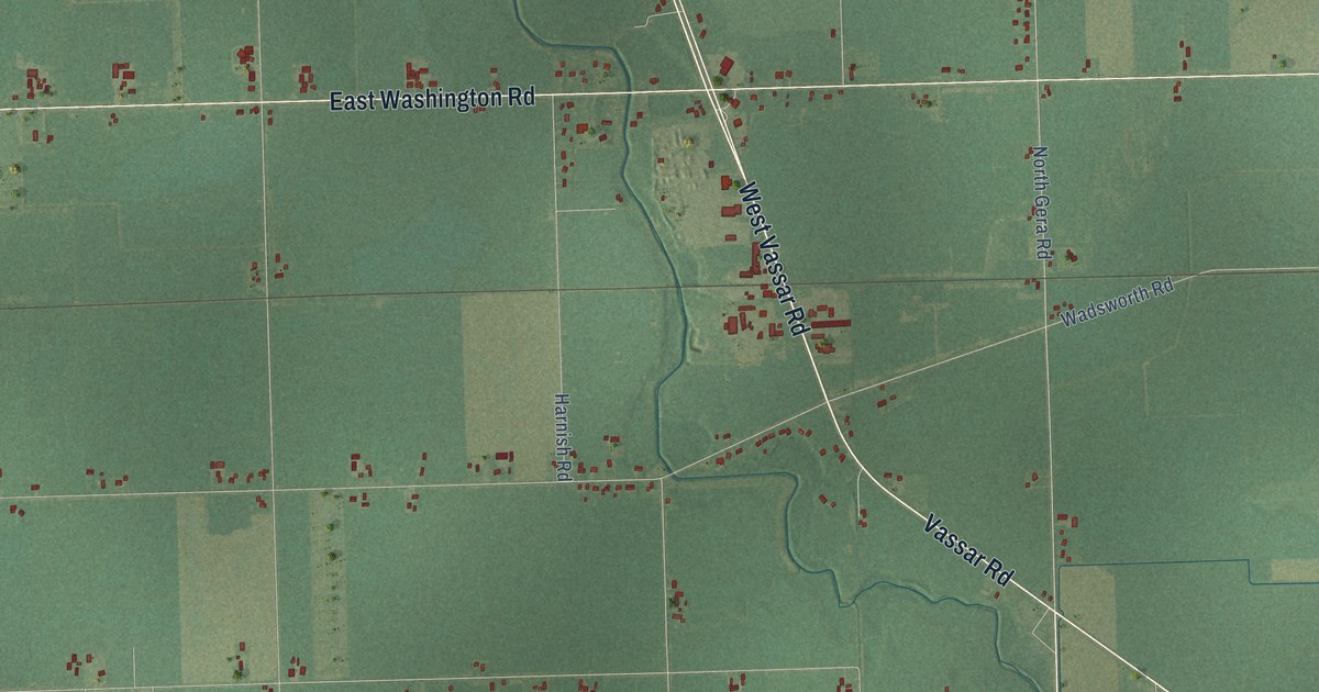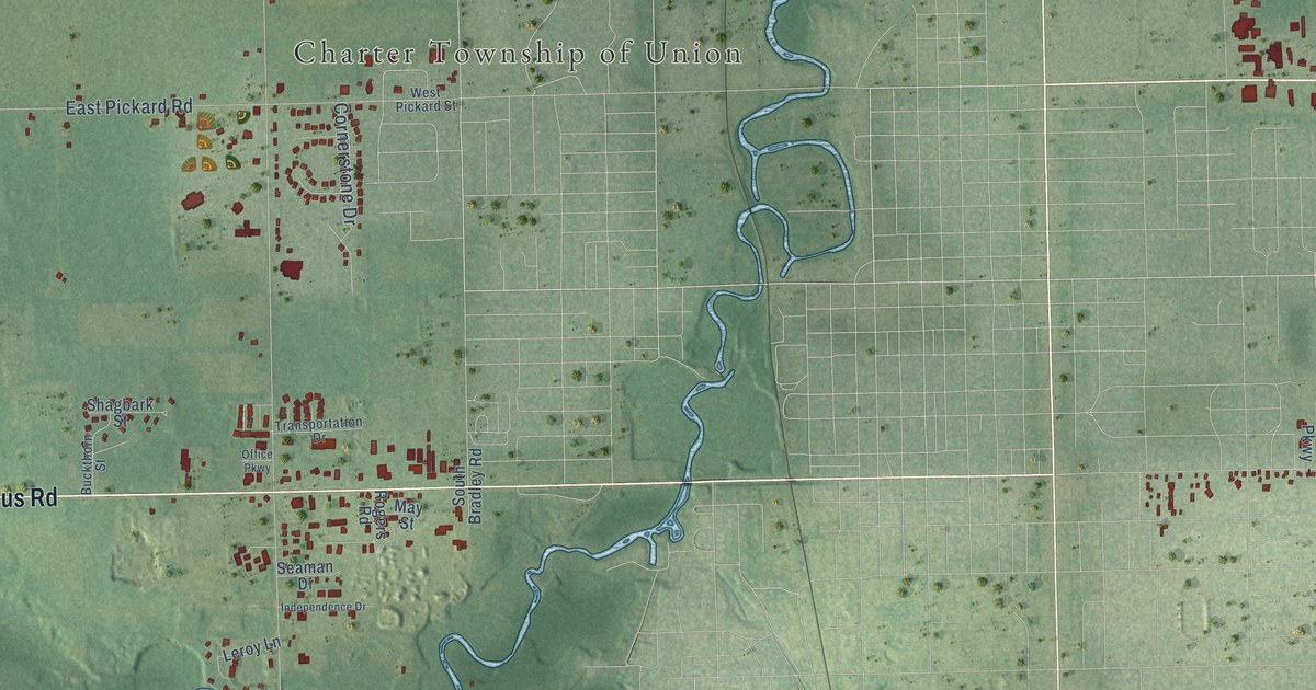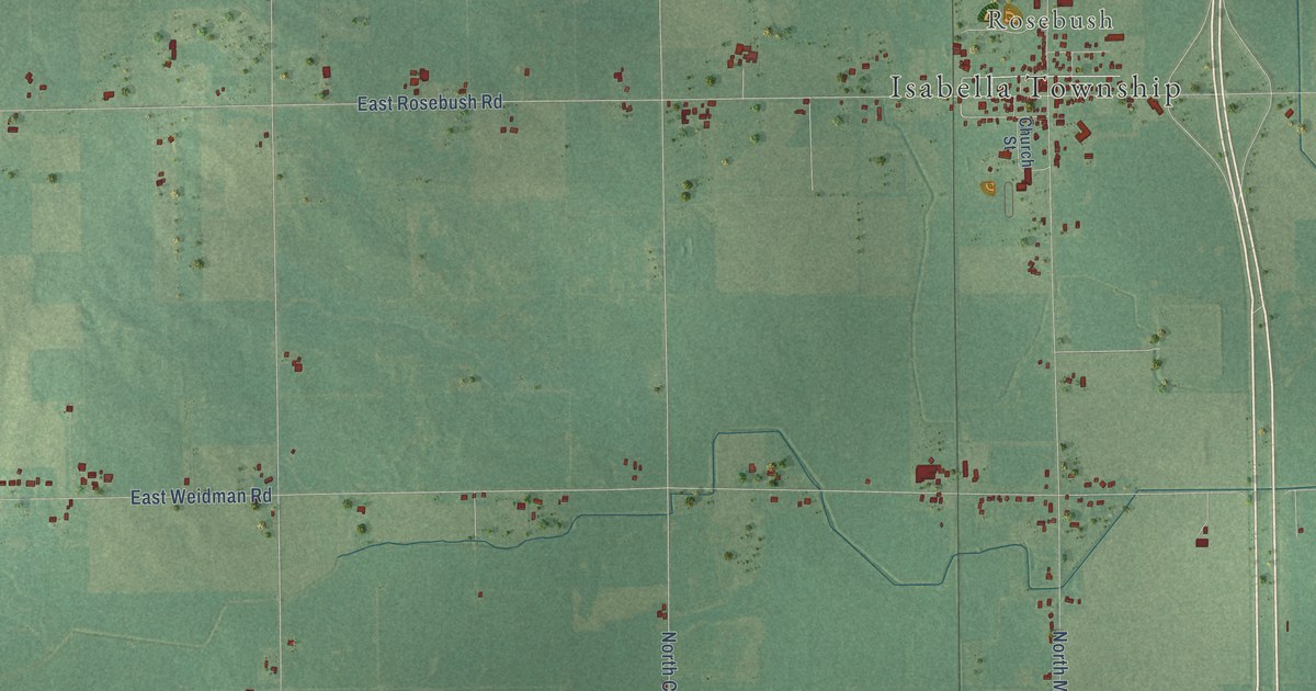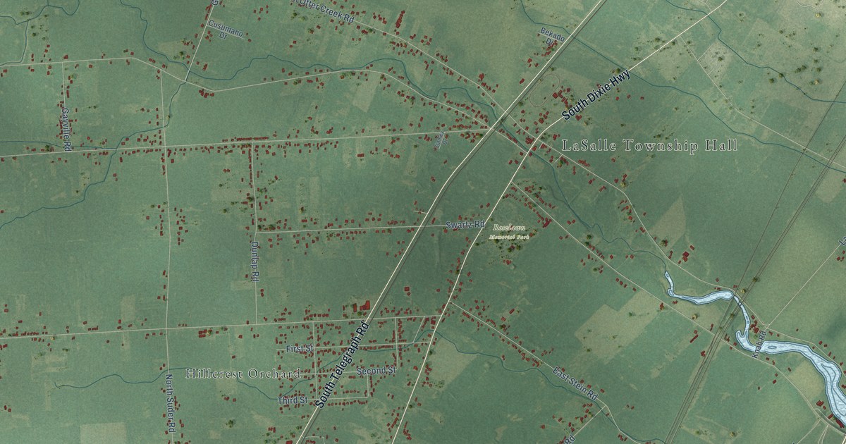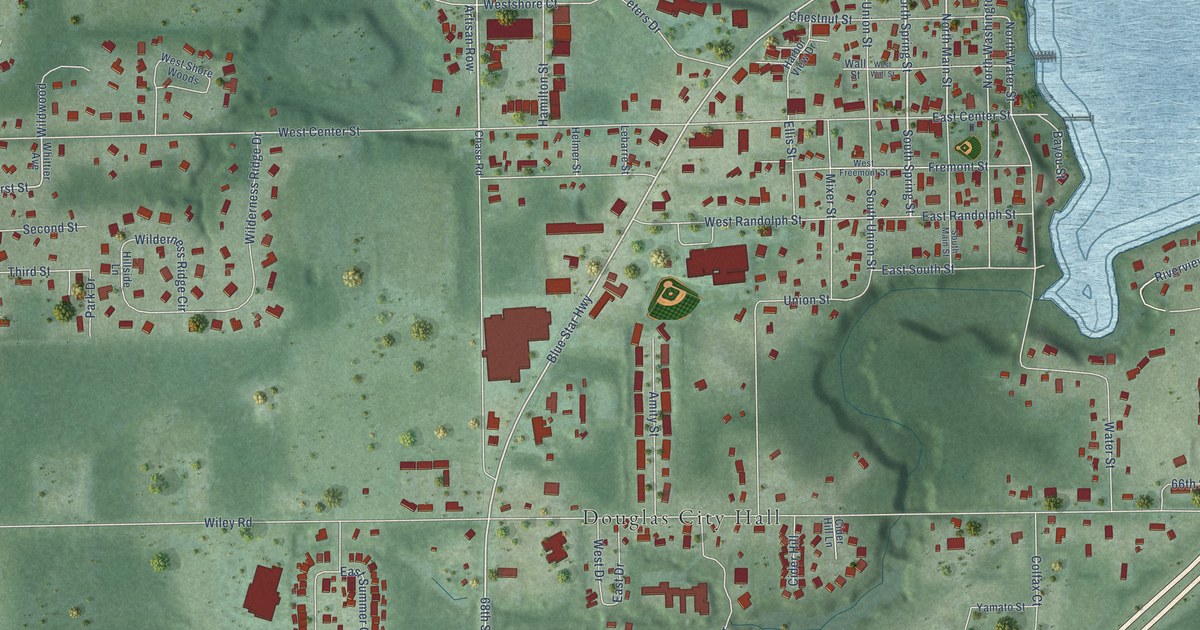
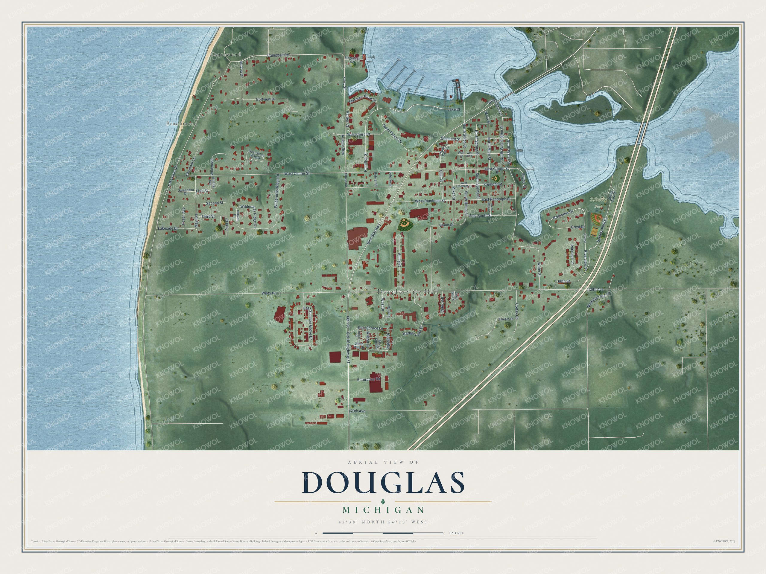
This beautifully detailed map of Douglas, Michigan was created in 2026 using aerial imagery combined with modern topographical, census, street and landmark data. It's a modern aerial view of Douglas in Allegan County, Michigan, that combines modern data with a vintage aesthetic. The roads feature printed names, and if you look closely you can find your exact house accurately shown in its correct location.
Explore an aerial view of Douglas, Michigan
On this map you'll find Douglas City Hall, Beachmont, Schultz Park, Shorewood, North Spring Street, South Spring Street, Ferry Street, Campbell Road, North Main Street, Blue Star Highway, Riverview Drive, Walnut Drive, and more. Each red shape is a building, so zoom in on the preview and look for yours.
Here is a piece of Douglas history, in the words of the record. The History of Allegan and Barry Counties puts it this way: "The first settlers upon the site of Douglas village, and indeed the first settlers in Saugatuck township on that side the lake, were R. A. McDonald and William Scovill, who, in 1847, settled upon land in section 16, located for them the year before by M. B. Spencer."
Douglas is a city in Allegan County. The Census Bureau counted 1,378 people here in 2020.
Take a closer look at the Douglas map
Names on this map
These names are printed on this map.
Places: Douglas City Hall, Beachmont, Schultz Park and Shorewood.
Streets and roads: North Spring Street, South Spring Street, Ferry Street, Campbell Road, North Main Street, Blue Star Highway, Riverview Drive, Walnut Drive, North Washington Street, South Union Street, First Street, Lake Street.
More street names, A to Z
66th Street, 68th Street, 129th Avenue, 130th Avenue, Amity Street, Artisan Row, Bayou Street, Blue Spruce Lane, Chase Road, Chestnut Lane, Chestnut Street, Cider Hill, Cider Hill Lane, Colfax Court, Crest, Crest Drive, East Center Street, East Drive, East Randolph Street, East South Street, East Summer Grove Drive, Ellis Street, Enterprise Road, Fremont Street, Garandana Drive, Golfview Drive, Hamilton Street, Harbor Court, Harbor Lake Drive, Harbor View Drive, Helmer Street, Hickory Drive, Hillside Lane, Lakeshore Drive, Lakeside Drive, Lebarre Street, Main Street, Mariners Cove Court, Mary Knoll Drive, May Avenue, McVea Drive, Mixer Street, Mountain Ash Lane, North Union Street, North Water Street, Old US Highway 31, Park Drive, Parkside Lane, Peach Avenue, Riverview Street, Saint Peters Drive, Schultz Park Drive, Second Street, Shultz Park Drive, Singapore Court, South Main Street, Third Street, Union Street, Wall Street, Washington Street, Water Street, West Center Street, West Drive, West Freemont Street, West Randolph Street, Westshore Court, West Shore Woods, West Wall Street, White Pine Street, Whittier Avenue, Wilderness Ridge Circle, Wilderness Ridge Drive, Wildwood, Wiley Road, Wilson Drive, Yamato Street.
See it on a wall
The Douglas map as a framed print. Swipe for more.


Created by KNOWOL in 2026. The buildings are small red shapes, the roads carry their printed names, and shaded relief shows the shape of the land. The title panel reads "AERIAL VIEW OF DOUGLAS, MICHIGAN" with 42°38' NORTH 86°13' WEST.
It suits a den, a classroom or a front hall, and it makes a gift for anyone with Douglas roots. Open the preview and find the block you know. See sizes and frames for the Douglas map.