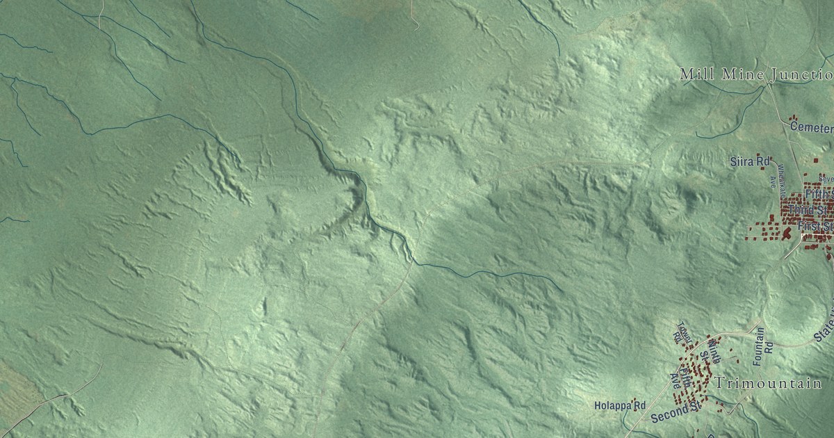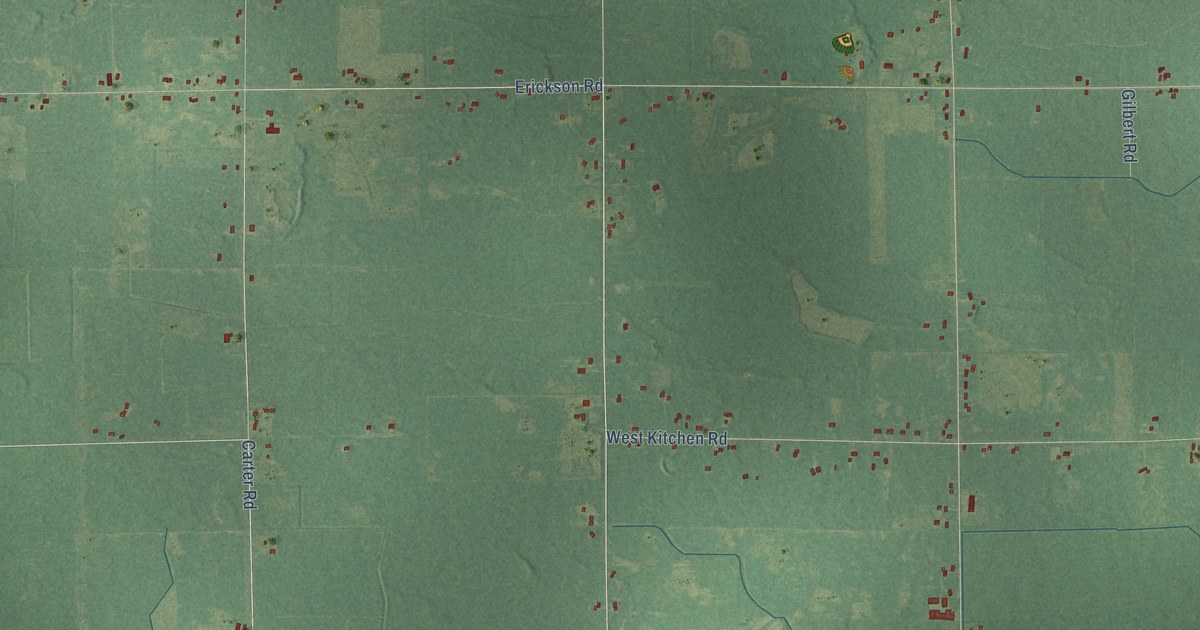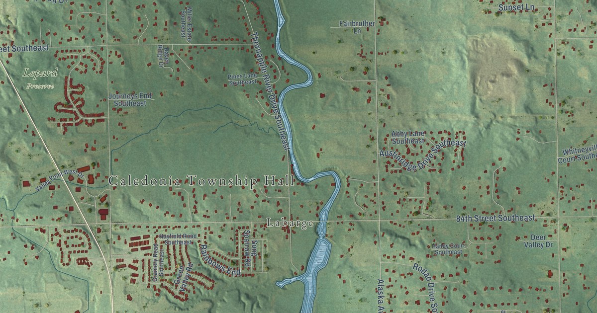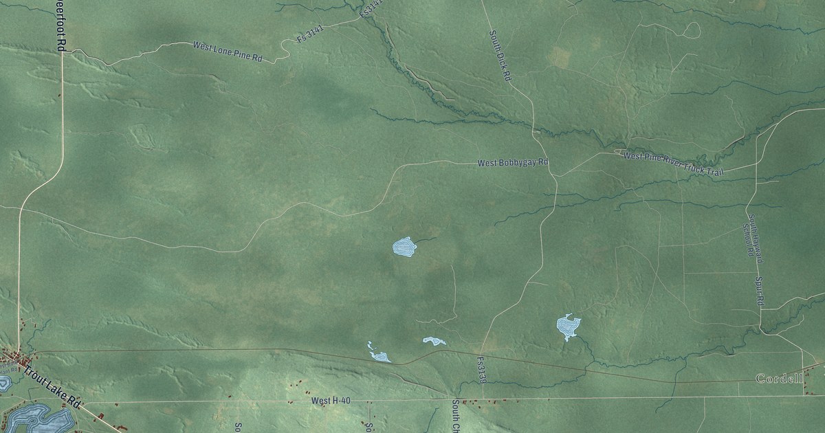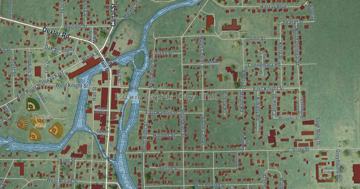
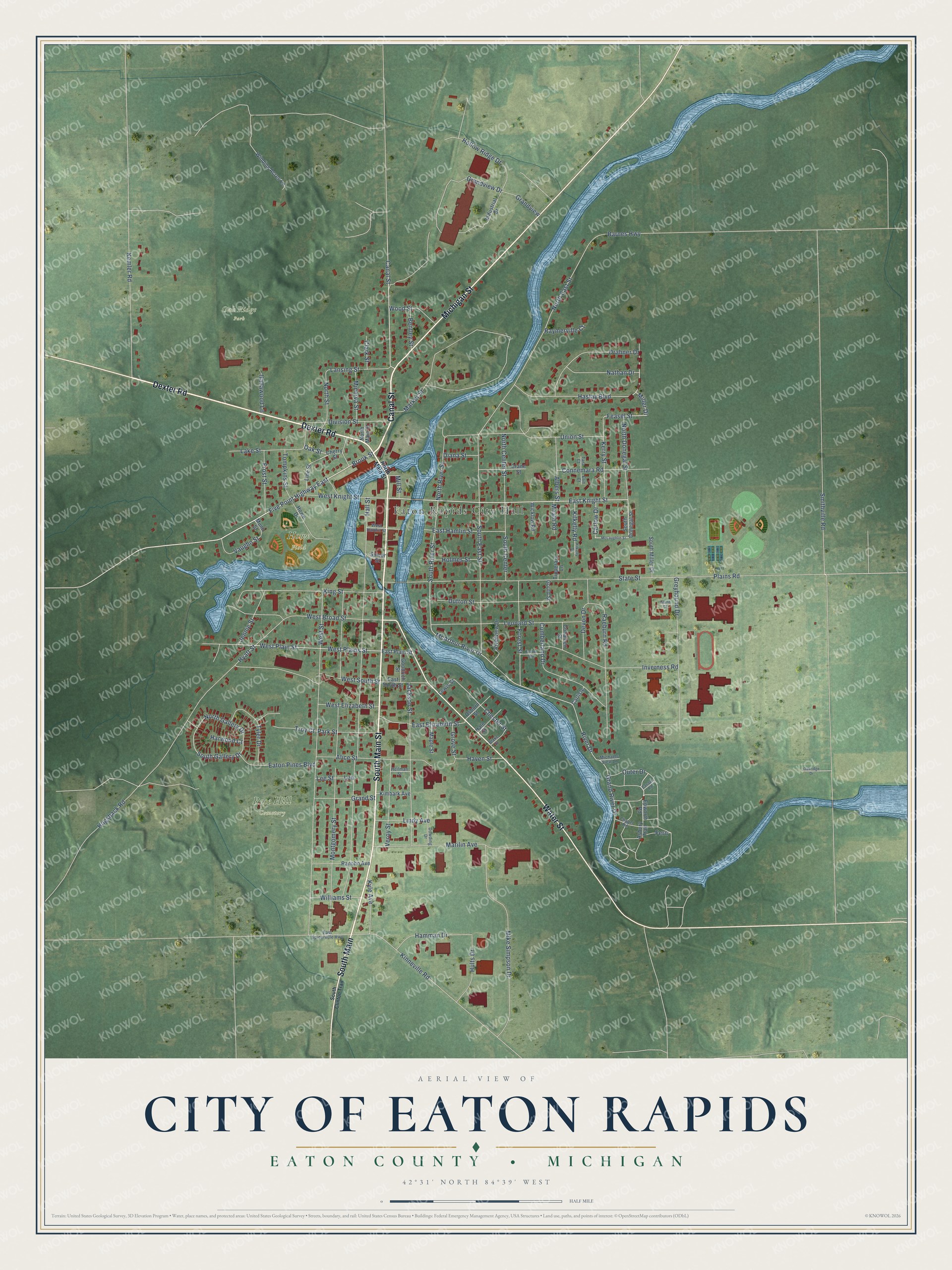
This beautifully detailed map of Eaton Rapids, Michigan was created in 2026 using aerial imagery combined with modern topographical, census, street and landmark data. It's a modern aerial view of Eaton Rapids in Eaton County, Michigan, that combines modern data with a vintage aesthetic. The roads feature printed names, and if you look closely you can find your exact house accurately shown in its correct location.
Explore an aerial view of Eaton Rapids, Michigan
On this map you'll find Eaton Rapids City Hall, Howe Field, Oak Ridge Park, Rose Hill Cemetery, South Main Street, Canal Street, Dexter Road, South Main, Michigan Street, Water Street, East Knight Street, Brook Street, and more. Each red shape is a building, so zoom in on the preview and look for yours.
Here is a piece of Eaton Rapids history, in the words of the record. The History of Ingham and Eaton Counties puts it this way: "A grist-mill began operations at Eaton Rapids in 1838. This starting of a saw-mill or a grist-mill was the greatest kind of a pioneer event."
Eaton Rapids is a city in Eaton County. The Census Bureau counted 5,203 people here in 2020.
Take a closer look at the Eaton Rapids map
Names on this map
These names are printed on this map.
Places: Eaton Rapids City Hall, Howe Field, Oak Ridge Park and Rose Hill Cemetery.
Streets and roads: South Main Street, Canal Street, Dexter Road, South Main, Michigan Street, Water Street, East Knight Street, Brook Street, Miller Drive, McArthur River Drive, Feasel Street, Five Point Highway East.
More street names, A to Z
Albers Street, Alice Street, Asbury Trail, Barnes Highway, Bentley Street, Blake Street, Canaan Road, Carlisle, Carlow Drive, Chapel Road, Cherry Street, Chester Street, Clark Street, Cohalben Street, Connemara Road, Crane Street, Cumberland Drive, Devon Drive, Diana Street, Division Street, Dowding Drive, Drahner Drive, Dutton Street, East Elizabeth Street, East Hamlin Street, East Plain Street, East South Street, East Spicerville Highway, Eaton Pines Boulevard, Epworth Road, Erin Court, Exeter Avenue, Fern, Forest Street, Frost Street, Goodrich Street, Gould Street, Grand River Drive, Grand Street, Grandview, Grandview Drive, Greyhound Drive, Grove Street, Hale Street, Hallawood Lane, Hall Street, Hamman Drive, Harwood Court, Hastay Boulevard, Haven Street, Heilman Street, Hogsback Road, Hollow Ridge Drive, Holmes Street, Howe Drive, Hults Drive, Hyatt Street, Industrial Drive, Inverness Road, Island Court, Jackson Street, Jennie Street, Kemler Road, Kerry Street, Kilkelly Road, Kilkelly Street, Kimbark Avenue, King Street, Kinneville Road, Kyle Avenue, Lake Street, Lansing Street, Lee, Lee Street, Leonard Street, Lewis Street, Lindy Avenue, Line Street, Maple Street, Marilin Avenue, Market Street, McLaughlin Street, Meath Road, Michaels View Lane, Mike Simpson Drive, Mill Street, Minerva Street, Montgomery Street, Munn Street, Nathan Drive, North Center Street, North Donegal Street, North East Street, North Gallery Drive, North Main Street, North River Street, North Street, Oakridge Drive, Oak Street, Osborn Street, Outer Drive, Park Street, Plains Road, Raeburn Road, Rancho Avenue, Raymerville Court, River Drive, Riverview Drive, Smithville Road, South Center, South Clinton Trail, South Donegal Street, South East Street, South Gallery Drive, South Miller Drive, South River Street, Spicer Street, State Street, Tara Court, Tipperary Lane, Tompkins Street, Troy Court, Tyler Drive, Union Street, Vaughn Street, Veroy Street, West Broad Street, West Elizabeth Street, West Hamlin Street, West Knight Street, West Plains Street, West Plain Street, West South Street, West Street, Wicklow Road, Williams Street, Winding Acres Lane, Wood Street.
Created by KNOWOL in 2026. The buildings are small red shapes, the roads carry their printed names, and shaded relief shows the shape of the land. The title panel reads "AERIAL VIEW OF CITY OF EATON RAPIDS, EATON COUNTY • MICHIGAN" with 42°31' NORTH 84°39' WEST.
It suits a den, a classroom or a front hall, and it makes a gift for anyone with Eaton Rapids roots. Open the preview and find the block you know. See sizes and frames for the Eaton Rapids map.