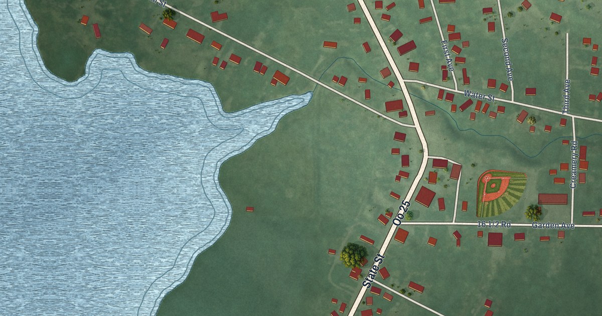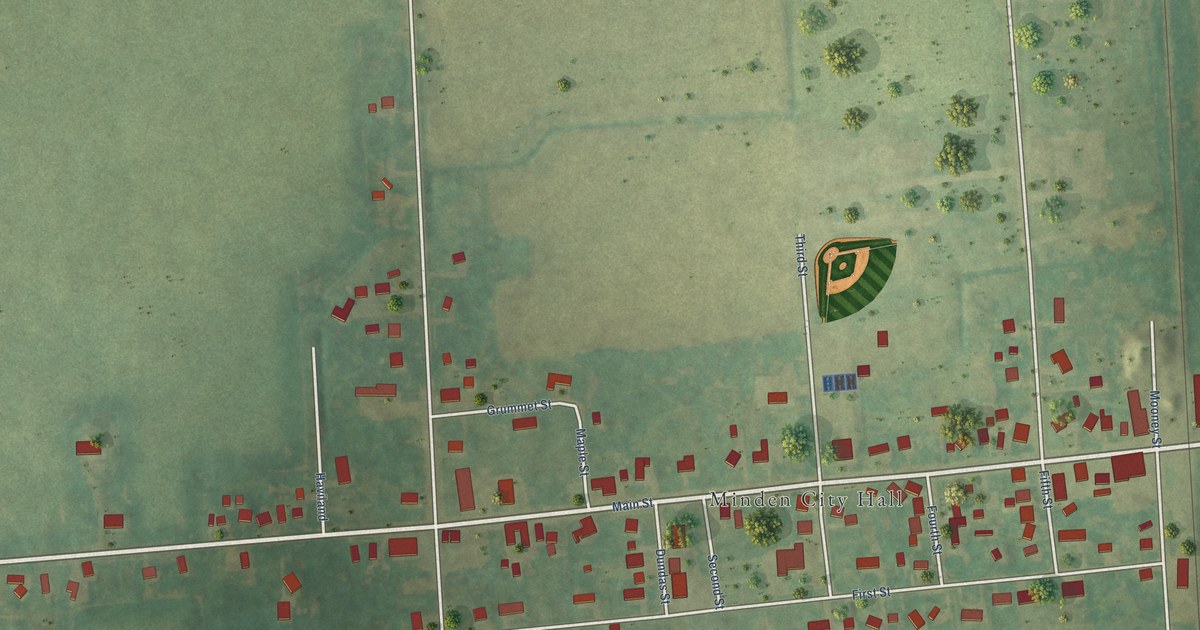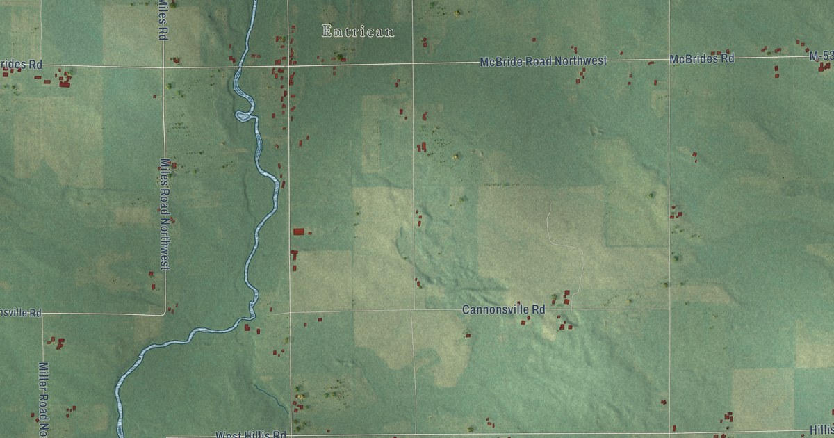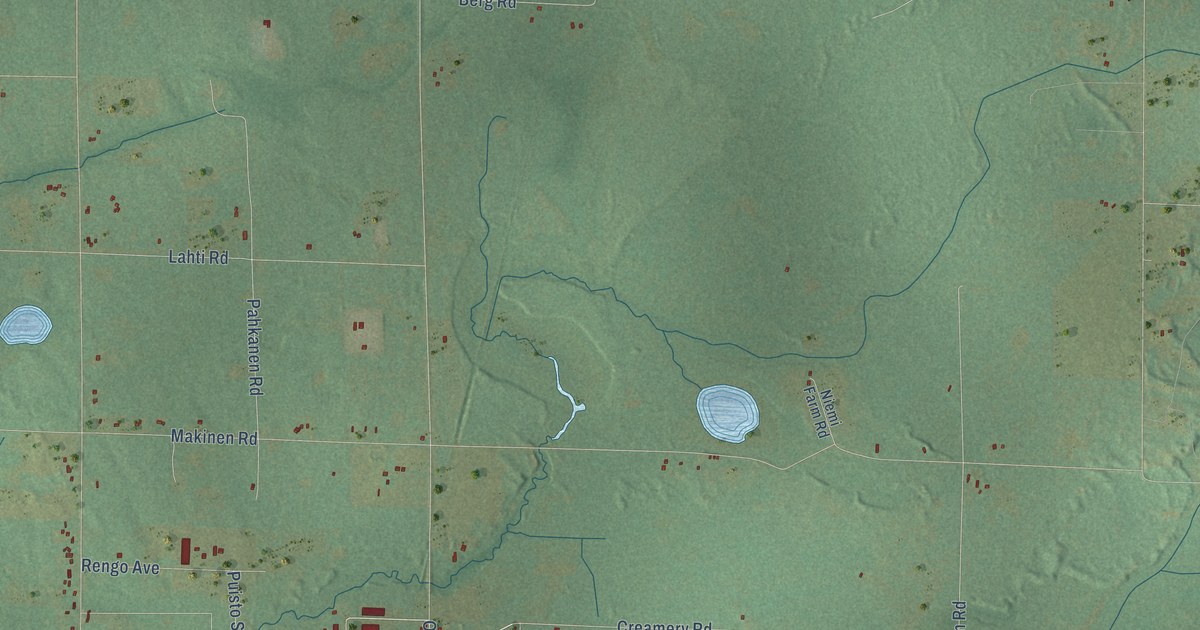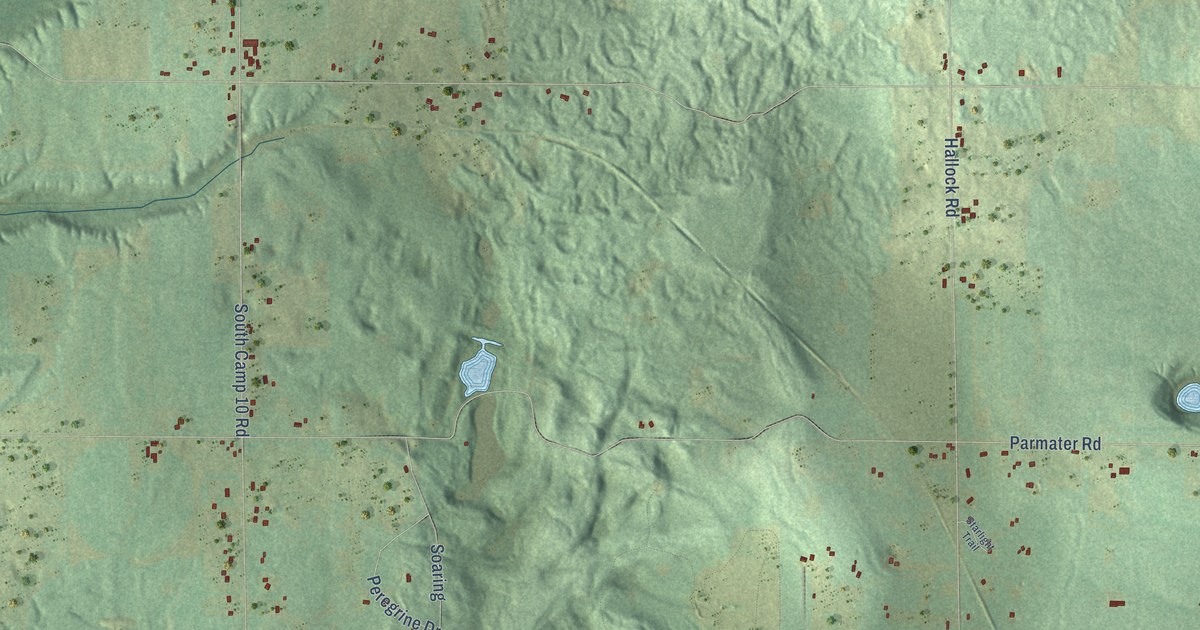
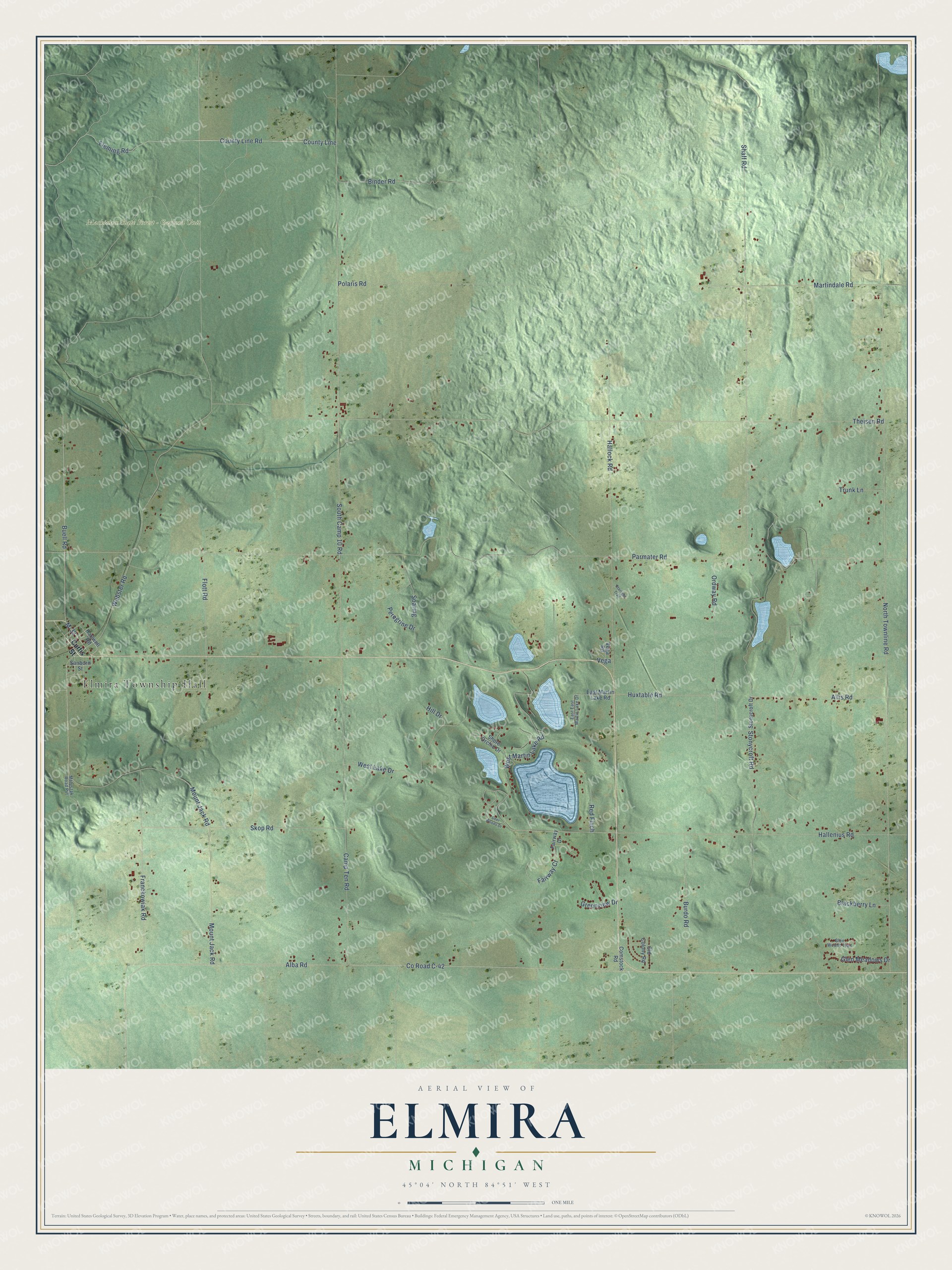
This beautifully detailed map of Elmira, Michigan was created in 2026 using aerial imagery combined with modern topographical, census, street and landmark data. It's a modern aerial view of Elmira in Otsego County, Michigan, that combines modern data with a vintage aesthetic. The roads feature printed names, and if you look closely you can find your exact house accurately shown in its correct location.
Explore an aerial view of Elmira, Michigan
On this map you'll find Elmira Township Hall, Mackinaw State Forest – Gaylord Unit, M-32, County Line, County Line Road, Fleming Road, South Camp 10 Road, Mount Jack Road, Shaff Road, Stonycroft Road, Webster Road, Co Road C-42, and more. Each red shape is a building, so zoom in on the preview and look for yours.
Elmira has a story worth telling. The History of Northern Michigan and Its People puts it this way: "The first mowing machine was owned by T, C. Worden, C. F. Davis and H. H. Gilson, in 1886, and the first self-binder used in the county was owned by A. Kelso of Elmira township, in 1889."
The Census Bureau counted 1,714 people here in 2020.
Take a closer look at the Elmira map
Names on this map
These names are printed on this map.
Places: Elmira Township Hall and Mackinaw State Forest - Gaylord Unit.
Streets and roads: M-32, County Line, County Line Road, Fleming Road, South Camp 10 Road, Mount Jack Road, Shaff Road, Stonycroft Road, Webster Road, County Road C-42, Hallenius Road, Parmater Road.
More street names, A to Z
Alba Road, Allis Road, Binder Road, Blackberry Lane, Buell Road, Burdo Road, Camp Ten Road, Comstock Road, Curtis Street, Deer Woods Drive, East East Martin Lake Drive, East Martin Lake Road, Fairway Court, Fairway Drive, Flott Road, Franckowiak Road, Glen Meadows Drive, Glen Woods Trail, Greenview Drive, Hallock Road, Hartwell Road, Hill Drive, Huxtable Road, Martindale Road, Matuszak Road Pvt, North Townline Road, Old Colony Road, Ordway Road, Peregrine Drive, Polaris Road, Red Finch, Sanborn Street, Shore Orchid Drive, Skop Road, Soaring, Starlight Trail, Stonycroft Drive, Theisen Road, Trunk Lane, Vega, Vega Road, West Lake Drive, West Martin Lake Road.
Created by KNOWOL in 2026. The buildings are small red shapes, the roads carry their printed names, and shaded relief shows the shape of the land. The title panel reads "AERIAL VIEW OF ELMIRA, MICHIGAN" with 45°04' NORTH 84°51' WEST.
It looks right in a kitchen, an office or a den, and it's a gift for anyone who grew up in Elmira or moved away. Open the preview and find your street. See sizes and frames for the Elmira map.