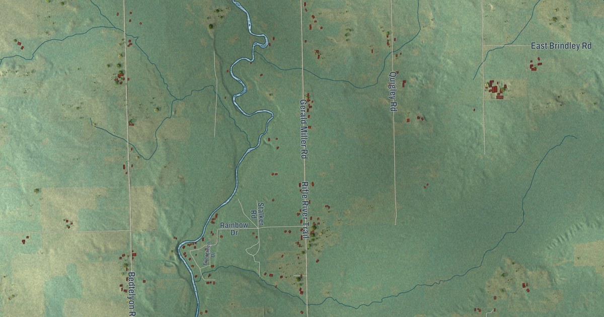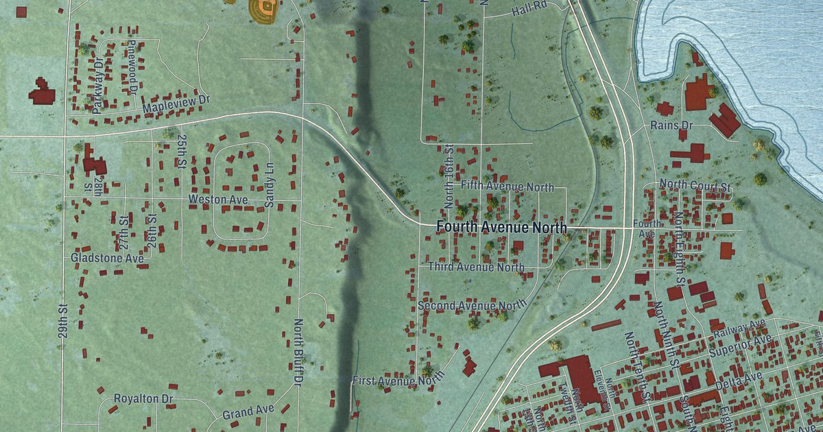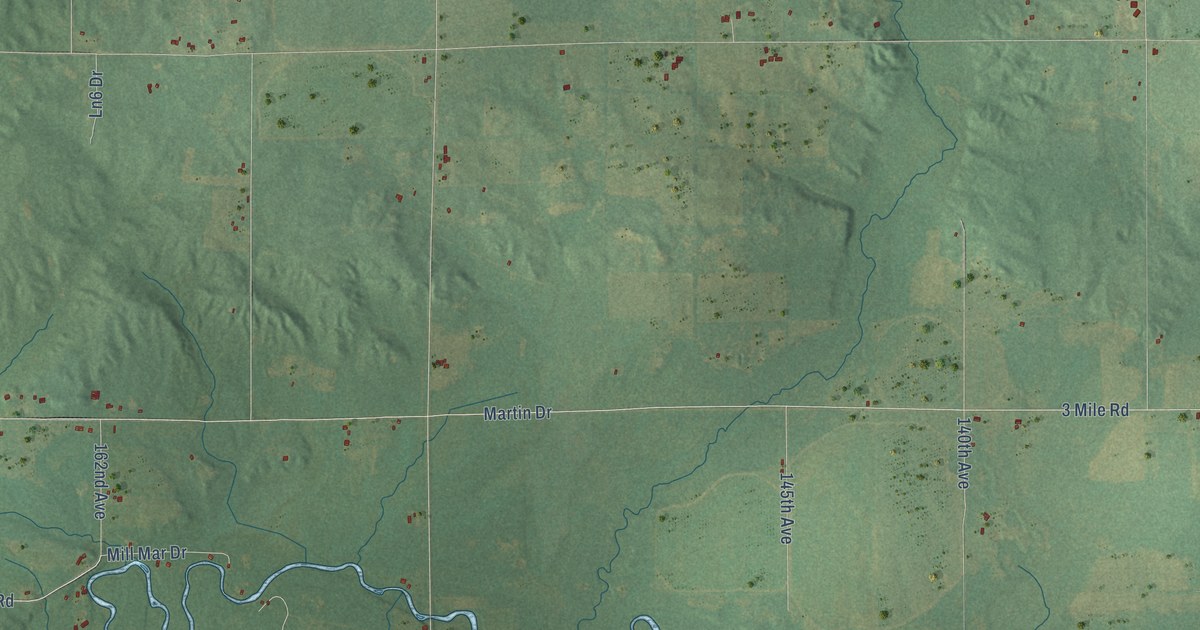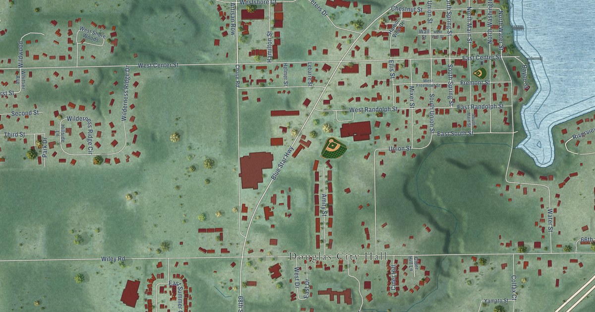
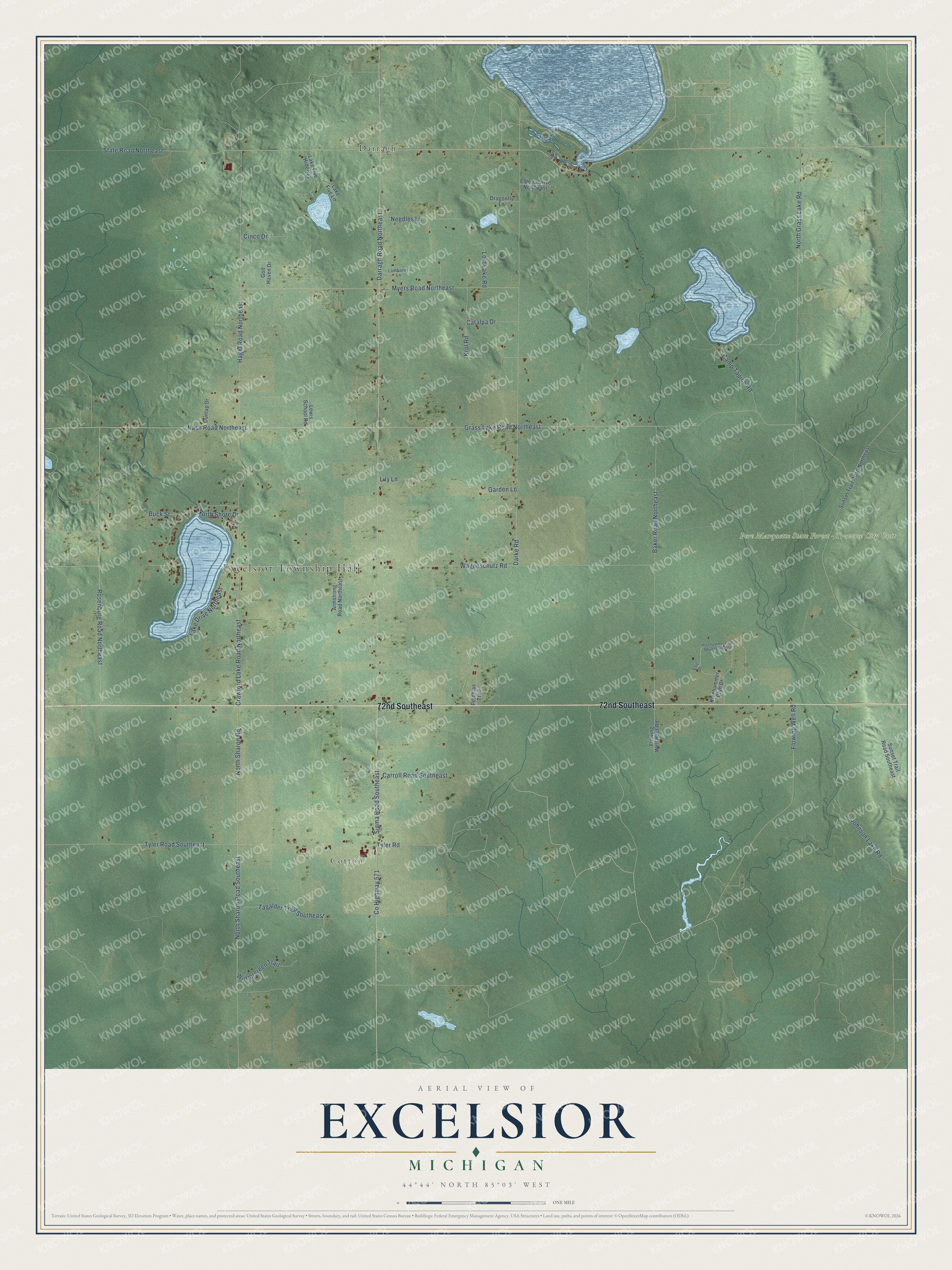
This beautifully detailed map of Excelsior, Michigan was created in 2026 using aerial imagery combined with modern topographical, census, street and landmark data. It's a modern aerial view of Excelsior in Kalkaska County, Michigan, that combines modern data with a vintage aesthetic. The roads feature printed names, and if you look closely you can find your exact house accurately shown in its correct location.
Explore an aerial view of Excelsior, Michigan
On this map you'll find Excelsior Township Hall, Cotton, Pere Marquette State Forest – Traverse City Unit, Darragh, 72nd Southeast, Co Highway 571, Sigma Road Southeast, Rosenburg Road Northeast, Nash Road Northeast, Darragh Road Northeast, State Road Northeast, Crawford Lake Road Northeast, and more. Each red shape is a building, so zoom in on the preview and look for yours.
Here is a piece of Excelsior history, in the words of the record. The Traverse Region puts it this way: "The town of Excelsior, comprising the territory of Township 27 north, of Range 6 west, was organized by act of legislature approved March 12, 1875. The first annual meeting was held at the house of David E. Wherry, on the first Monday of April following."
The Census Bureau counted 991 people here in 2020.
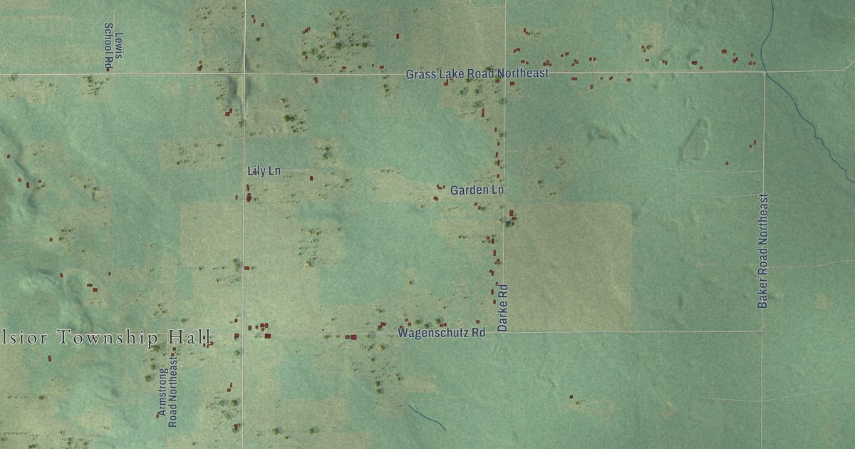
Take a closer look at the Excelsior map
Names on this map
These names are printed on this map.
Places: Excelsior Township Hall, Cotton, Pere Marquette State Forest - Traverse City Unit and Darragh.
Streets and roads: 72nd Southeast, County Highway 571, Sigma Road Southeast, Rosenburg Road Northeast, Nash Road Northeast, Darragh Road Northeast, State Road Northeast, Crawford Lake Road Northeast, Grass Lake Road Northeast, Wagenschutz Road, Darke Road, North Sharon Road.
More street names, A to Z
Armstrong Road Northeast, Baker Road Northeast, Buck Street, Camp Tapico Road, Carroll Road Southeast, Catalpa Drive, Cinco Drive, Cove Lane, Dragonfly Lane, Dunlap Drive, Eldena Drive Northeast, Eric Drive, Flowing Well Haul Road, Flowing Well Road, Garden Lane, Golf Haven Drive, Hagni Road Northeast, Johnson Lake Road, Kleehammer Club Drive, Kleehammer Club Drive Northeast, Krol Road, Lake Drive Northeast, Lake Five Hideway, Lake Five Lane, Lewis School Road, Lily Lane, Lombardy Lane, Lost Lake Road, Myers Road Northeast, Needles Lane, North Grass Lake Road, North Sharon Road Southeast, North Shore Drive, Petchias Trail, Pine Drive, Sunset Trail Road Northeast, Sunset Trail Road Southeast, Tagalder Trail Southeast, Tyler Road, Tyler Road Southeast, Wintergreen Trail.
Created by KNOWOL in 2026. The buildings are small red shapes, the roads carry their printed names, and shaded relief shows the shape of the land. The title panel reads "AERIAL VIEW OF EXCELSIOR, MICHIGAN" with 44°44' NORTH 85°03' WEST.
It suits a den, a classroom or a front hall, and it makes a gift for anyone with Excelsior roots. Open the preview and find the block you know. See sizes and frames for the Excelsior map.