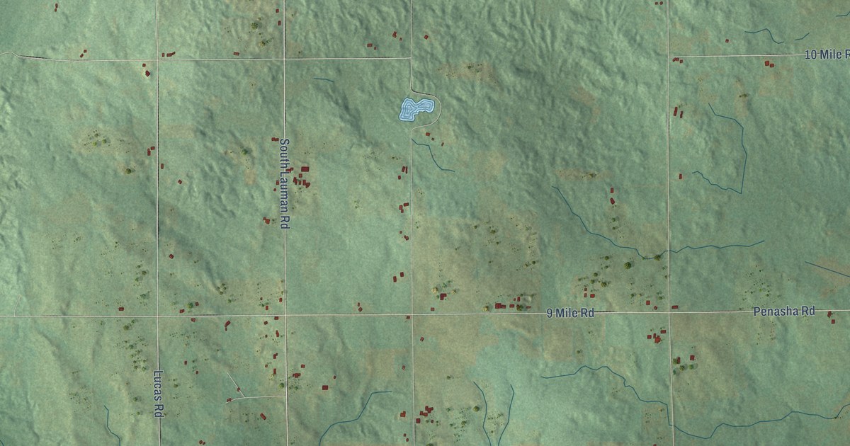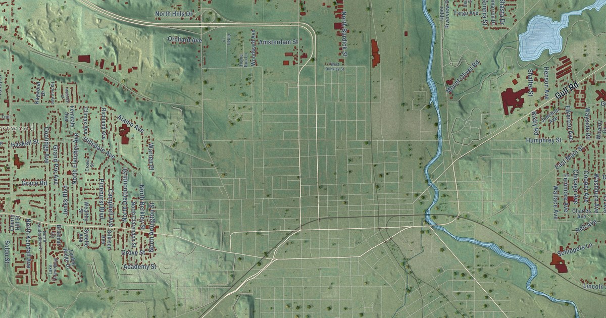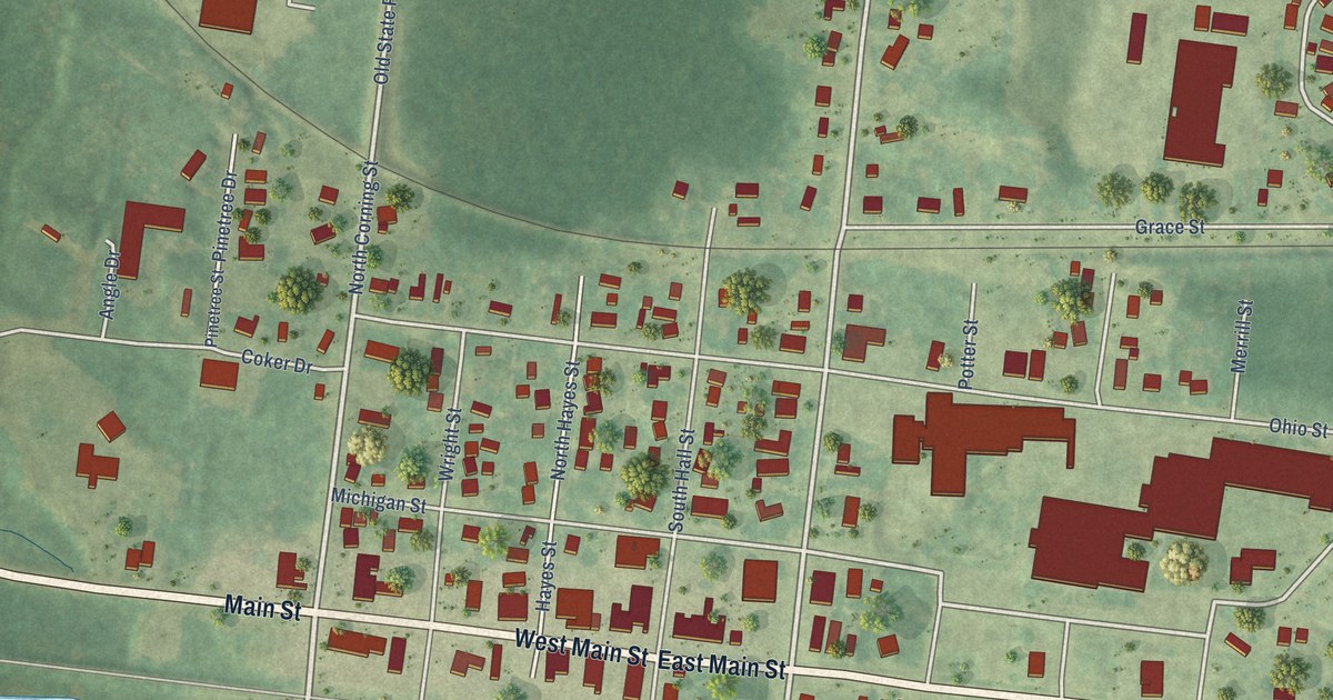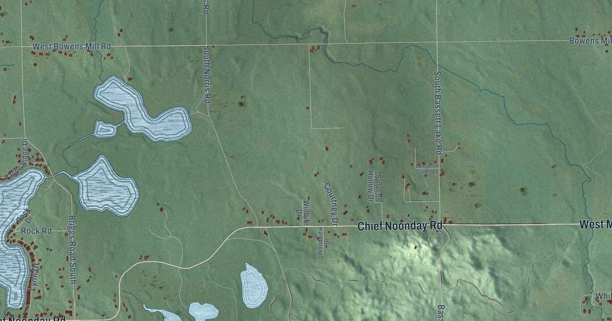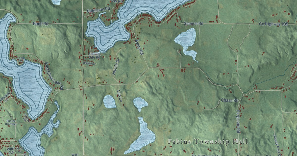
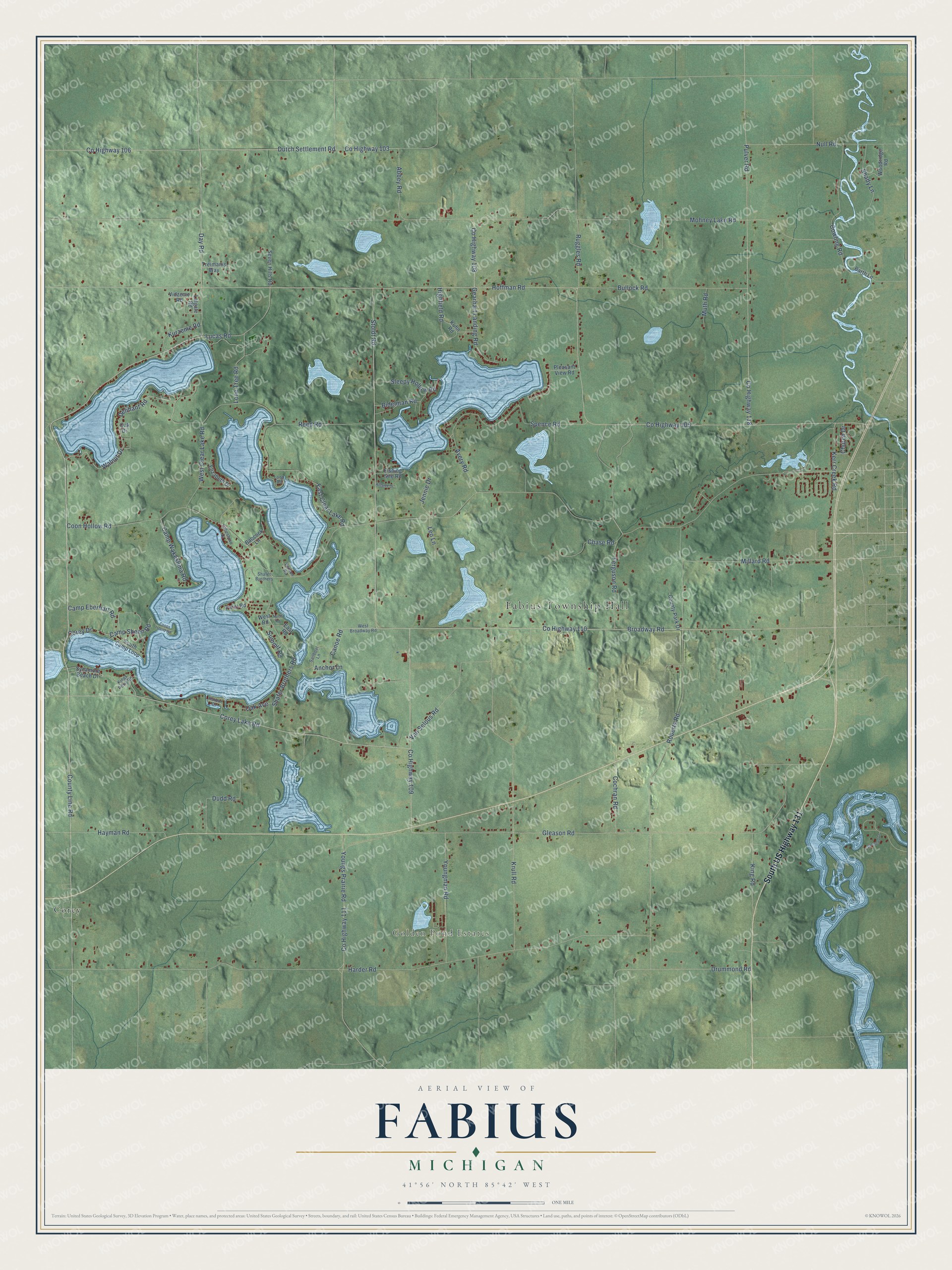
This beautifully detailed map of Fabius, Michigan was created in 2026 using aerial imagery combined with modern topographical, census, street and landmark data. It's a modern aerial view of Fabius in St. Joseph County, Michigan, that combines modern data with a vintage aesthetic. The roads feature printed names, and if you look closely you can find your exact house accurately shown in its correct location.
Explore an aerial view of Fabius, Michigan
On this map you'll find Fabius Township Hall, Golden Pond Estates, Corey, South US Highway 131, Co Highway 109, Corey Lake Road, County Line Road, Corey Drive, Walnut Drive, Co Highway 110, Delihant Road, Lucas Road, and more. Each red shape is a building, so zoom in on the preview and look for yours.
Fabius has a story worth telling. The History of St. Joseph County puts it this way: "The first saw-mill in Fabius township was erected near the mouth of Lake run, about one mile from Three Rivers, by Mishael Beadle, in the spring of 1835. The next one was built by Jasper and Barnabus Eddy, on the same stream, in the fall of 1837."
The Census Bureau counted 3,311 people here in 2020.
Take a closer look at the Fabius map
Names on this map
These names are printed on this map.
Places: Fabius Township Hall, Golden Pond Estates and Corey.
Streets and roads: South US Highway 131, County Highway 109, Corey Lake Road, County Line Road, Corey Drive, Walnut Drive, County Highway 110, Delihant Road, Lucas Road, Day Road, Stoldt Road, Broadway Road.
More street names, A to Z
Abbey Road, Anchor Lane, Avery Road, Babcock Lane, Barth Lane, Bidelman Road, Bullock Road, Camp Eberhart Road, Camp Sheen Road, Camp Wakeshma Road, Canoe Road, Chase Road, Church Drive, Cochran Road, Coon Hollow Road, Coops Island Road, County Highway 103, County Highway 105, County Highway 106, County Highway 108, County Highway 111, County Highway 118, County Park Drive, Cowling Road, Drummond Road, Dudd Road, Dutch Settlement Road, East Clear Lake Road, East Road, Elizabeth Drive, Farmstead Lane, Ferguson Road, Fishing Site Road, Gearhart Landing Road, Gleason Road, Harbor Drive, Harder Road, Hayman Road, Highfield Road, Hillside Drive, Hoffman Road, Jennie Drive, Kerr Creek Road, King Road, Kings Point Road, Krull Road, Kuhn Road, Kurzeme Road, Lakeshore Drive, Latgale Road, Leo Lane, Lone Tree Road, Loop Road, Millard Road, Mohney Lake Road, Muth Road, North Road, Null Road, Oak Avenue, Oak Drive, Pleasant View Road, Point Road, Pulver Road, Reed Road, Roberts Road, Ruggles Road, Sailboat Lane, Seven Hills Road, Shady Lane, Shafer Brothers, Shafer Brothers Road, Sleepy Hollow Road, South Camp Loop, Spence Road, Summit Road, Sycamore Beach Drive, Treimanis Way, Van Selous Road, Vernon Road, Vidzeme Road, West Broadway Road, West Clear Lake Road, West Road, Woodridge Road, Youngman Road, Youngs Prairie Road.
Created by KNOWOL in 2026. The buildings are small red shapes, the roads carry their printed names, and shaded relief shows the shape of the land. The title panel reads "AERIAL VIEW OF FABIUS, MICHIGAN" with 41°56' NORTH 85°42' WEST.
It looks right in a kitchen, an office or a den, and it's a gift for anyone who grew up in Fabius or moved away. Open the preview and find your street. See sizes and frames for the Fabius map.