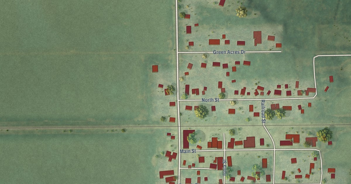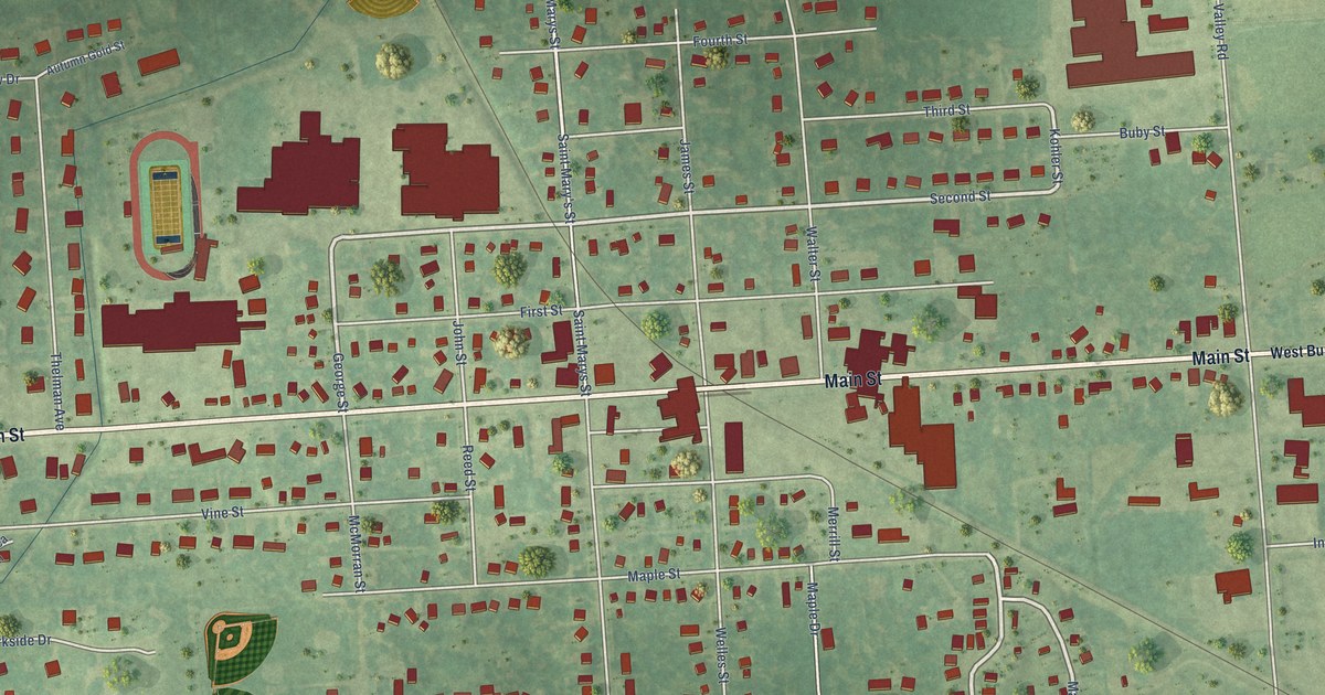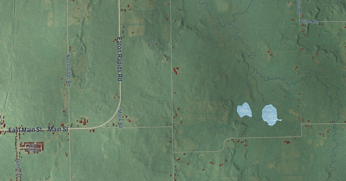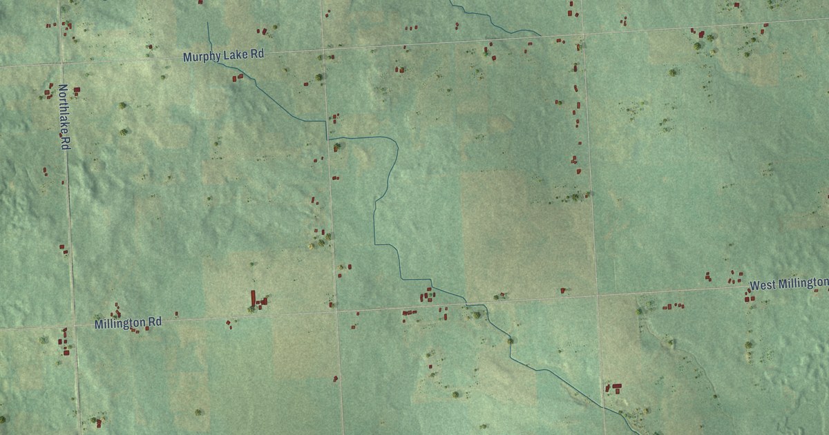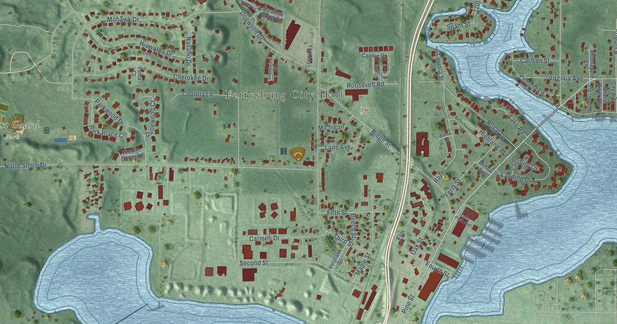
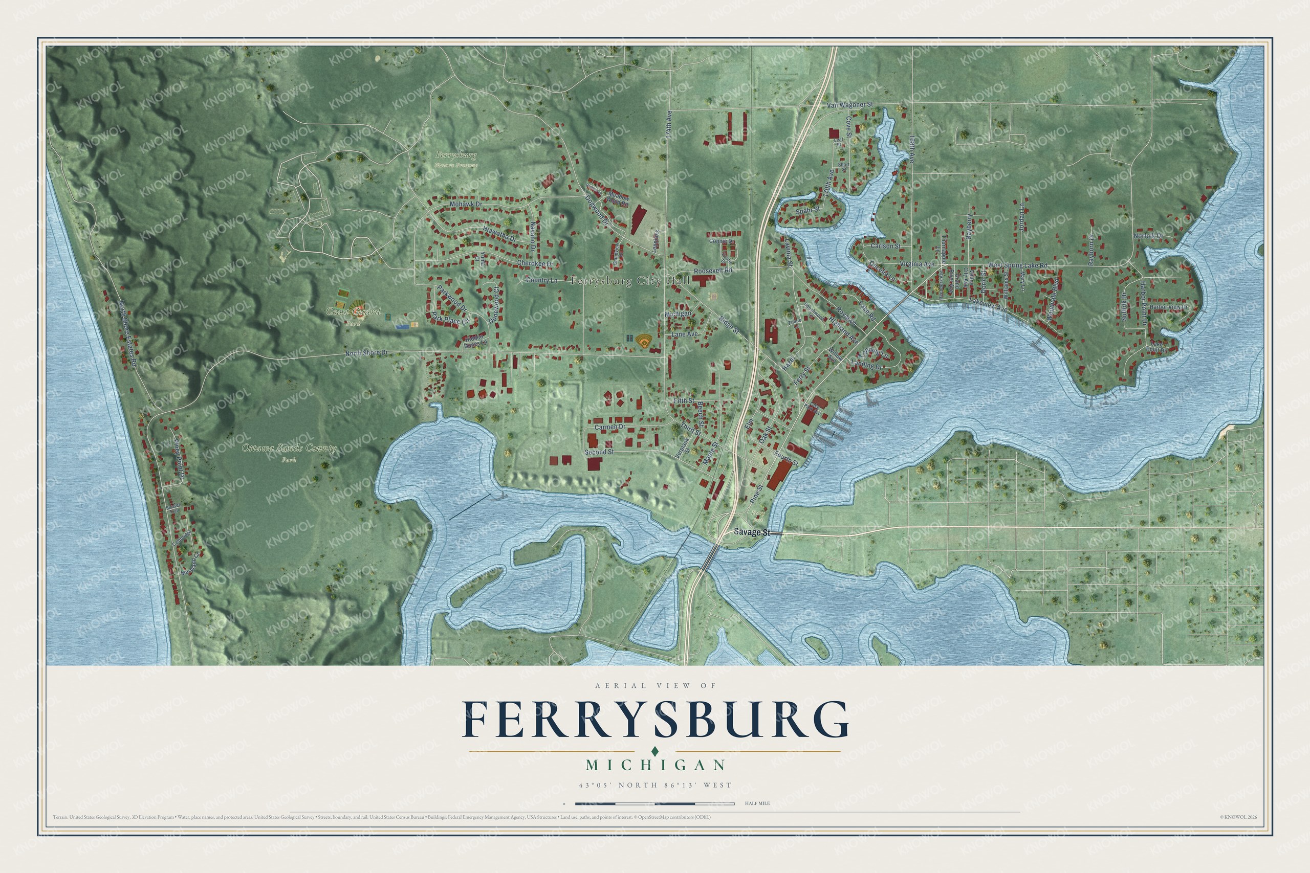
This beautifully detailed map of Ferrysburg, Michigan was created in 2026 using aerial imagery combined with modern topographical, census, street and landmark data. It's a modern aerial view of Ferrysburg in Ottawa County, Michigan, that combines modern data with a vintage aesthetic. The roads feature printed names, and if you look closely you can find your exact house accurately shown in its correct location.
Explore an aerial view of Ferrysburg, Michigan
On this map you'll find Ferrysburg City Hall, Coast Guard Park, Ferrysburg Nature Preserve, Ottawa Sands County Park, Ferry Park, Savage Street, West Spring Lake Road, Pine Street, 170th Avenue, Second Street, North Shore Drive, 174th Avenue, and more. Each red shape is a building, so zoom in on the preview and look for yours.
Ferrysburg has a story worth telling. The Compendium of Ottawa County puts it this way: "Ferrysburg was first called Ottawa Point. The first improvements there worth mentioning were made by the Ferrys when they built the first mill on the point."
Ferrysburg is a city in Ottawa County. The Census Bureau counted 2,952 people here in 2020.
Take a closer look at the Ferrysburg map
Names on this map
These names are printed on this map.
Places: Ferrysburg City Hall, Coast Guard Park, Ferrysburg Nature Preserve, Ottawa Sands County Park and Ferry Park.
Streets and roads: Savage Street, West Spring Lake Road, Pine Street, 170th Avenue, Second Street, North Shore Drive, 174th Avenue, Van Wagoner Street, Ridge Street, Dogwood Drive, 168th Avenue, Mohawk Drive.
More street names, A to Z
Bayberry, Beech Street, Beechwood Lane, Bramer Lane, Cambridge, Carlson Street, Carmen Drive, Cecelia Lane, Cherokee Drive, Connie Drive, Country Lane, Cove Street, Doric Street, Dunewood Court, Dustin Drive, Elm, Ferry Street, Fifth Street, Fourth Street, Grand River Avenue, Grandview Drive, Harbor Point Drive, Harbor View Drive, Hazel, Hiawatha Drive, Hidden Dunes Lane, Highland Avenue, Jordan Lane, Lake Park Avenue, Lake Point Drive, Lake Road, Lakeview Avenue, Landing Drive, Landing Lane, Lane Avenue, Lavinia Street, Leaf Street, Leppinks, Maple Street, Maryland Court, Mary Lane, Meadow Wood Road, Michigan, Navaho Drive, Norfolk Drive, North Shore Estates Road, Oak Street, Park Place Circle, Parkwood Drive, Piney Point Drive, Rayborn Drive, Reenders Avenue, Roosevelt Road, Royal Lane, Short Street, Spahr Street, Suffolk Drive, Sunset Trail, Third Street, Thornapple Lane, Valley City Avenue, Verplank Street, Virginia Avenue, Williams Street, Willow Avenue, Woodvale Boulevard, Yuma Court, Zinnie Lane.
Created by KNOWOL in 2026. The buildings are small red shapes, the roads carry their printed names, and shaded relief shows the shape of the land. The title panel reads "AERIAL VIEW OF FERRYSBURG, MICHIGAN" with 43°05' NORTH 86°13' WEST.
It looks right in a kitchen, an office or a den, and it's a gift for anyone who grew up in Ferrysburg or moved away. Open the preview and find your street. See sizes and frames for the Ferrysburg map.