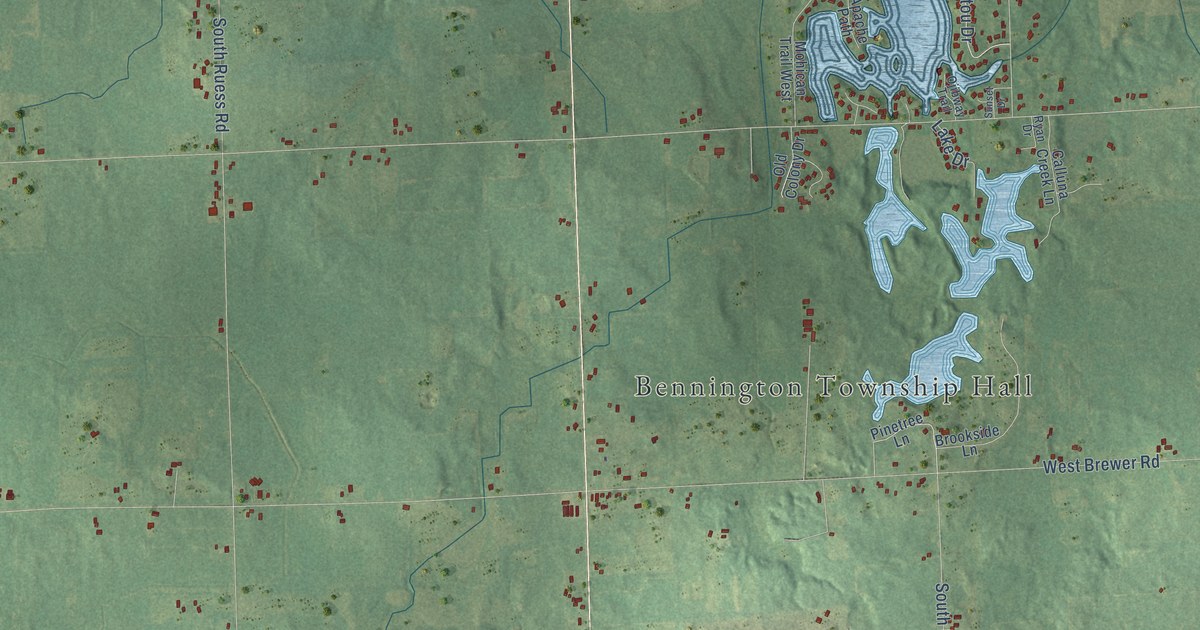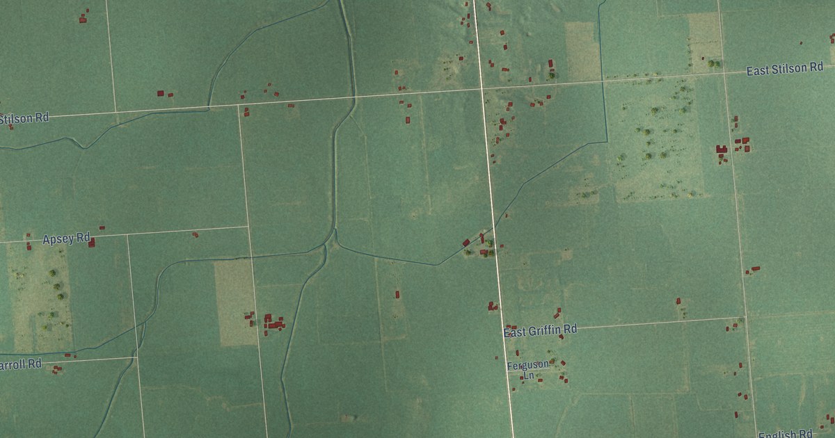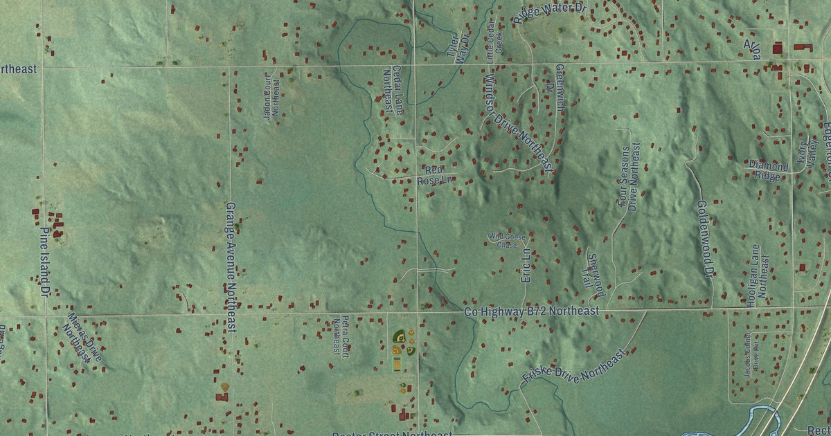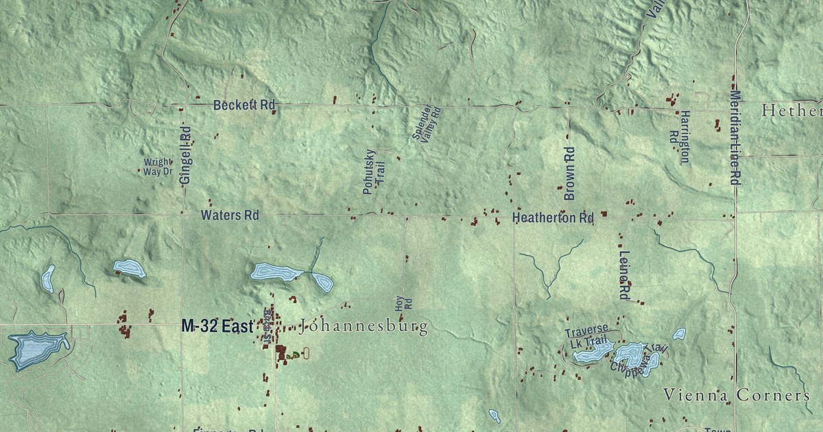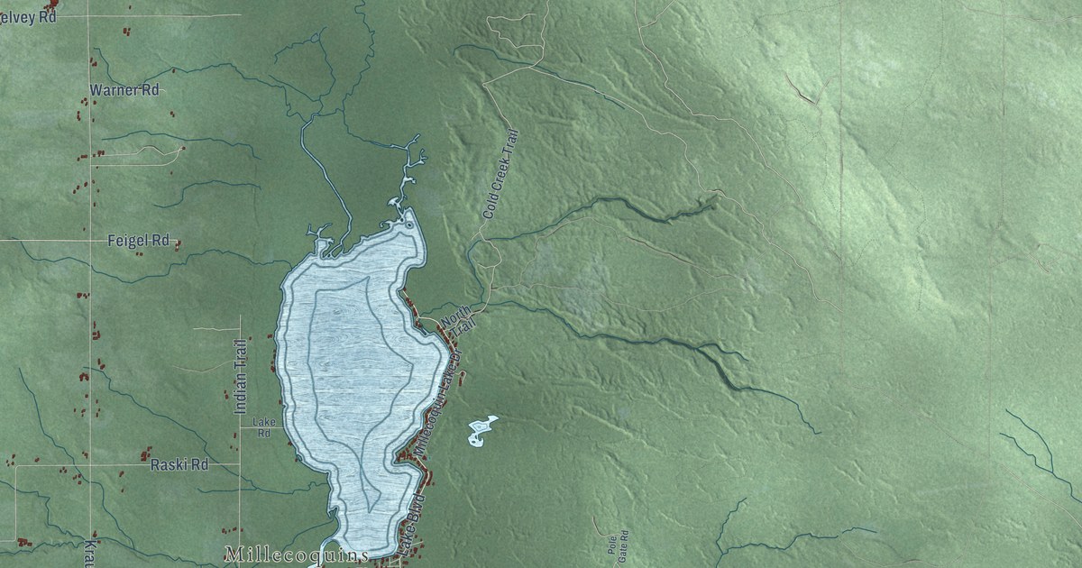
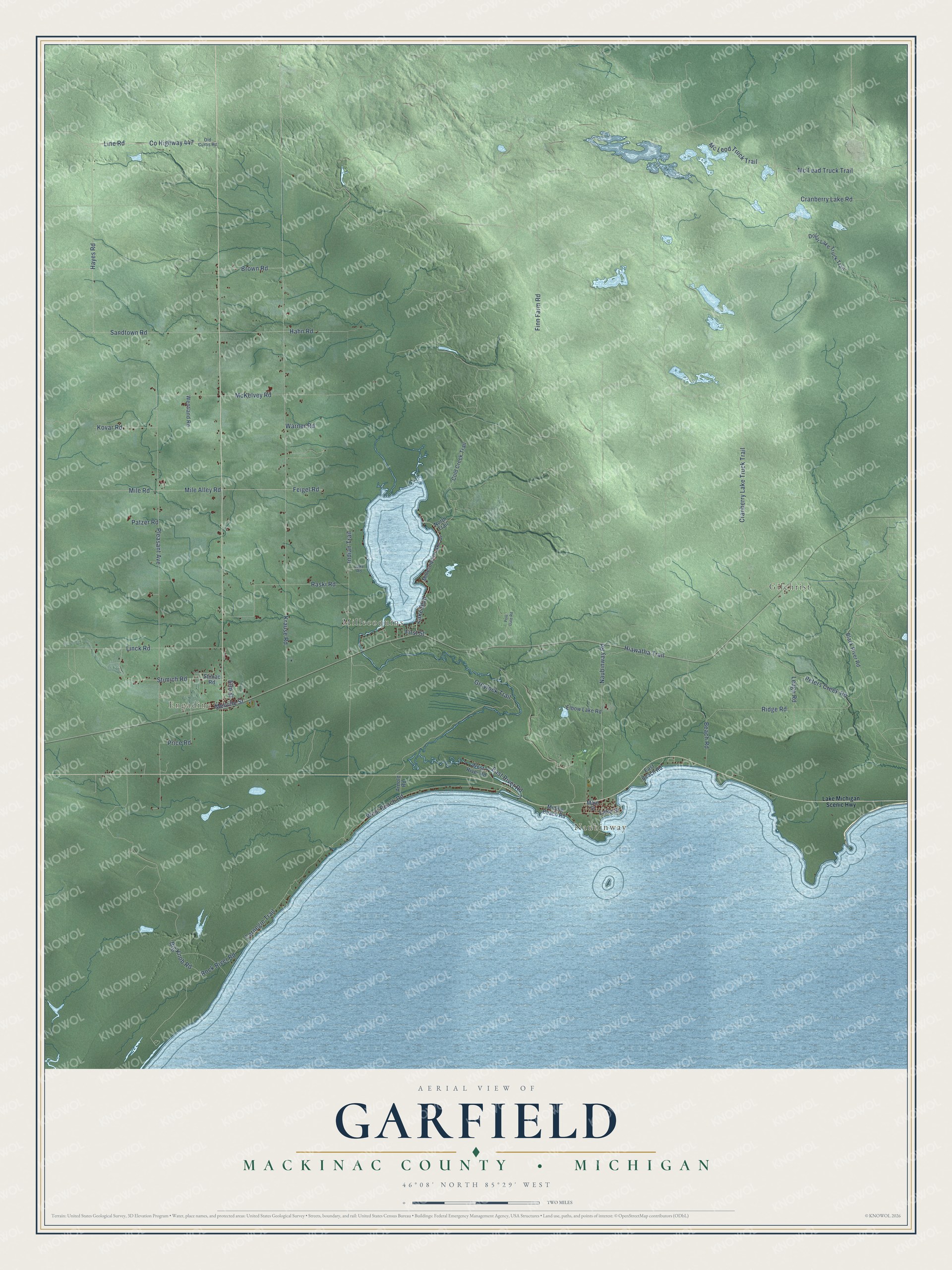
This beautifully detailed map of Garfield, Michigan was created in 2026 using aerial imagery combined with modern topographical, census, street and landmark data. It's a modern aerial view of Garfield in Mackinac County, Michigan, that combines modern data with a vintage aesthetic. The roads feature printed names, and if you look closely you can find your exact house accurately shown in its correct location.
Explore an aerial view of Garfield, Michigan
On this map you'll find Gilchrist, Engadine, Naubinway, Millecoquins, Melville Street, Hiawatha Trail, Lake Boulevard, Elm Street, Co Highway 447, Line Road, West Beach Road, Price Road, and more. Each red shape is a building, so zoom in on the preview and look for yours.
Here is a piece of Garfield history, in the words of the record. The History of the Upper Peninsula of Michigan puts it this way: "The organized towns of Mackinac County at present are St. Ignace, Holmes, Brevort, Lakefield, Garfield, Hendricks, Moran and Newton."
The Census Bureau counted 1,166 people here in 2020.
Take a closer look at the Garfield map
Names on this map
These names are printed on this map.
Places: Gilchrist, Engadine, Naubinway and Millecoquins.
Streets and roads: Melville Street, Hiawatha Trail, Lake Boulevard, Elm Street, County Highway 447, Line Road, West Beach Road, Price Road, Peters Creek Road, Feigel Road, Indian Trail, Mile Road.
More street names, A to Z
Arnold Road, Beach Road, Big Knob Road, Black River Road, Brown Road, Carnegie Trail, Cold Creek Trail, Cranberry Lake Road, Cranberry Lake Truck Trail, Dollar Lake Truck Trail, East Beach Road, East River Road, Elbow Lake Road, Finn Farm Road, First Street, Greylock Trail, Hahn Road, Hayes Road, Kovar Road, Krause Road, Lake Michigan Scenic Highway, Lake Road, Lake Street, Ledge Road, Linck Road, Main Street, McKelvey Road, Mc Lead Truck Trail, Mc Leod Truck Trail, Middle Beach Road, Mile Alley Road, Millecoquin Lake Drive, Naubinway Road, North Trail, Old Curtis Road, Patzer Road, Pleasant Avenue, Pole Gate Road, Raski Road, Ridge Road, Rock River Road, Sandtown Road, Stimac Road, Stimich Road, Warner Road, Wentland Road, West River Road.
Created by KNOWOL in 2026. The buildings are small red shapes, the roads carry their printed names, and shaded relief shows the shape of the land. The title panel reads "AERIAL VIEW OF GARFIELD, MACKINAC COUNTY • MICHIGAN" with 46°08' NORTH 85°29' WEST.
It suits a den, a classroom or a front hall, and it makes a gift for anyone with Garfield roots. Open the preview and find the block you know. See sizes and frames for the Garfield, Mackinac County map.