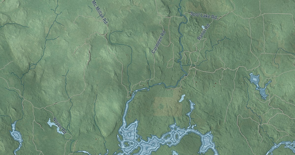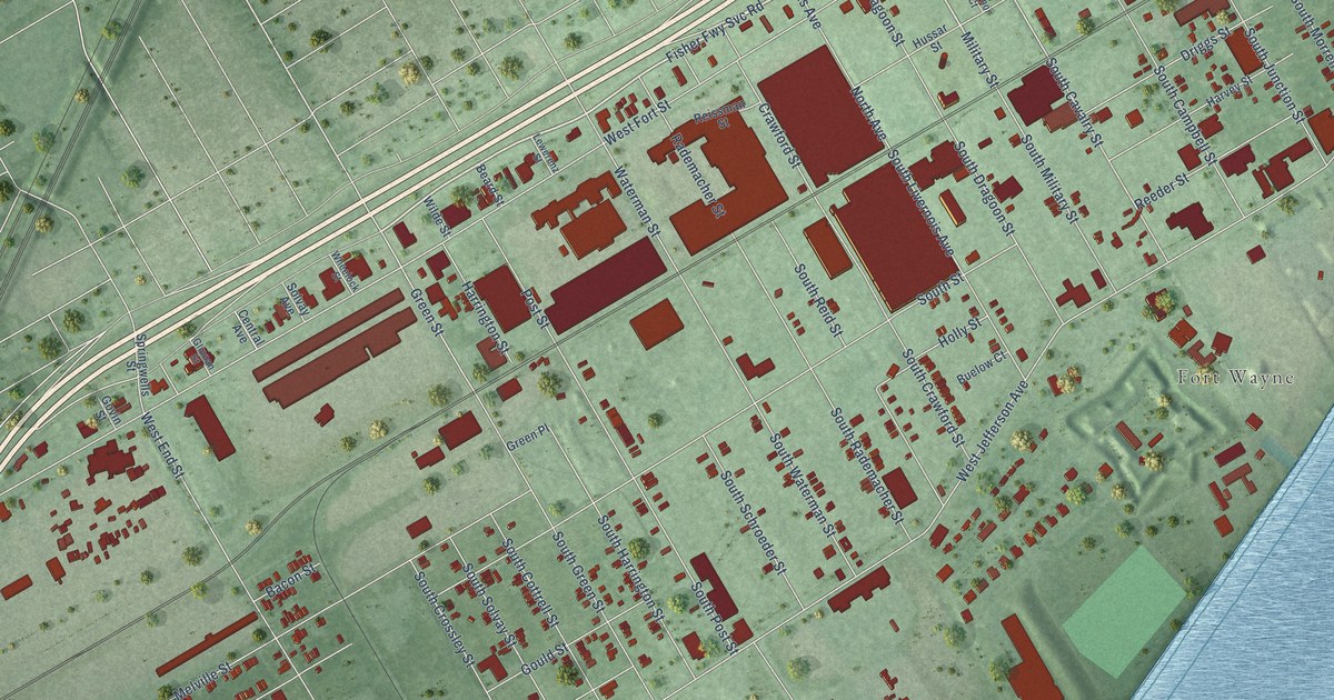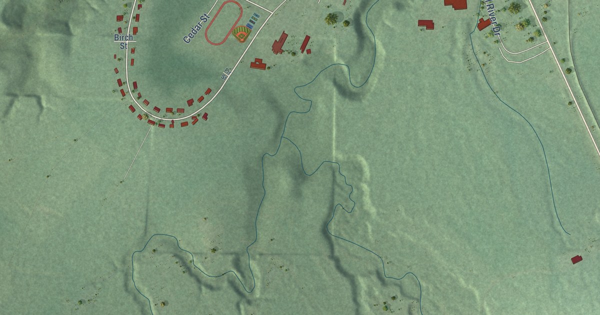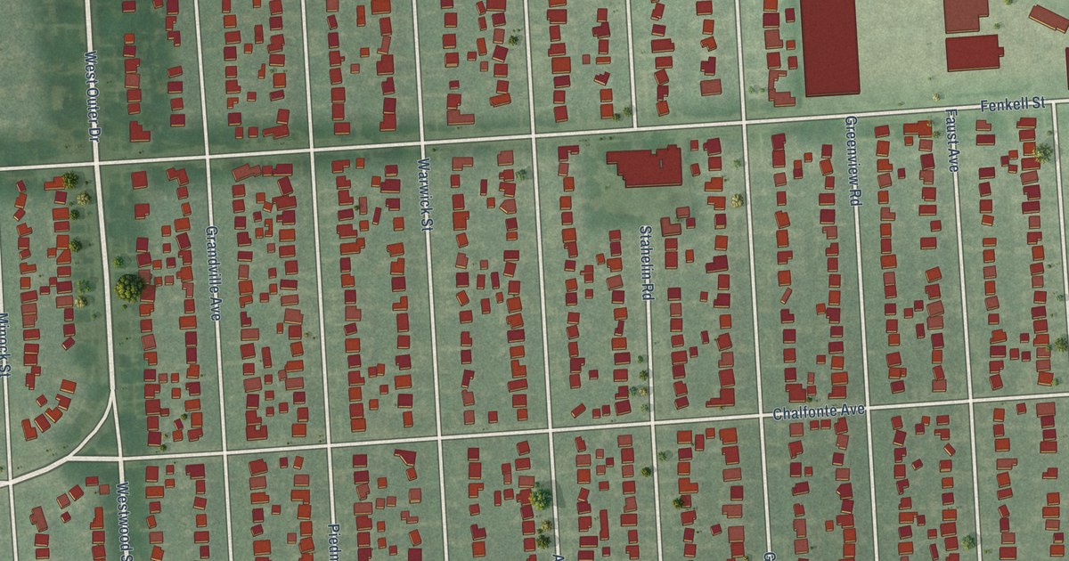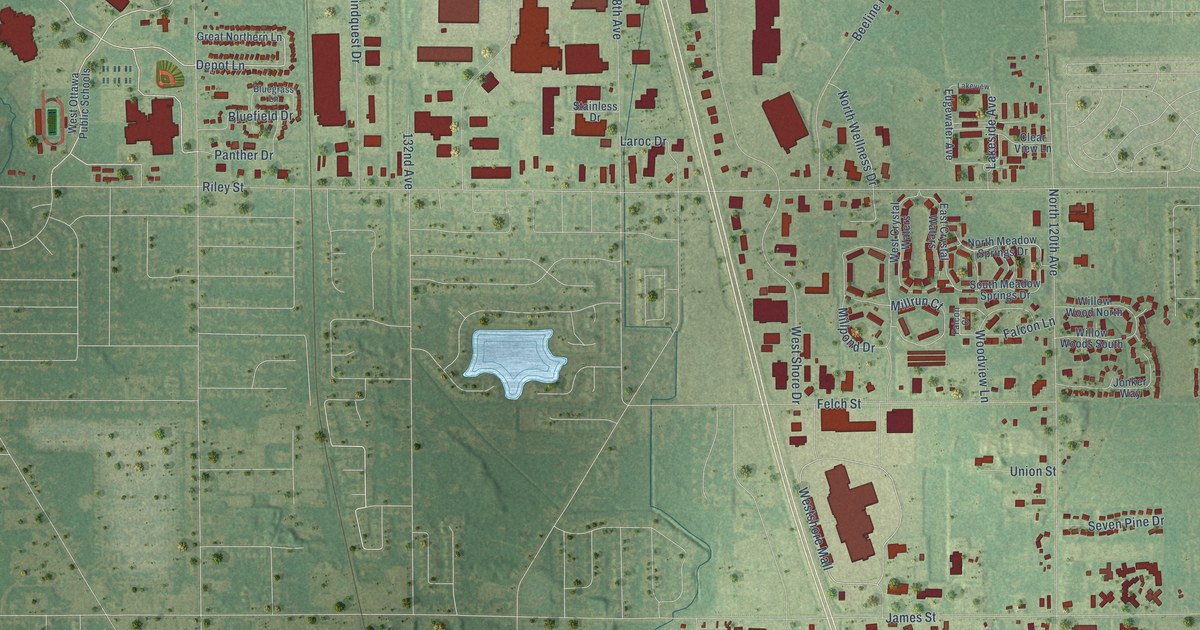
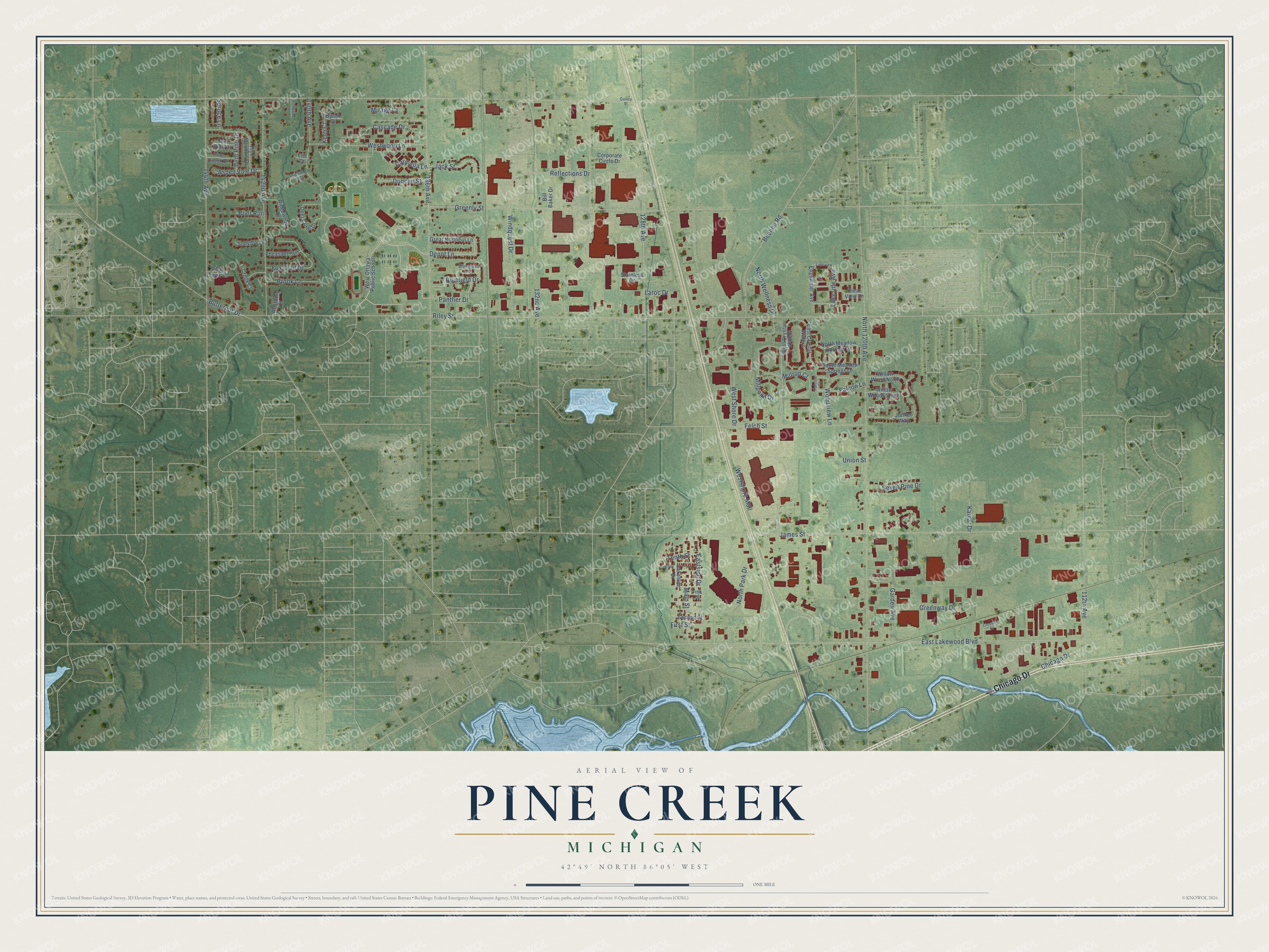
This beautifully detailed map of Pine Creek, Michigan was created in 2026 using aerial imagery combined with modern topographical, census, street and landmark data. It’s a one-of-a-kind view of Pine Creek that combines accurate data with a vintage aesthetic. The map shows every building in its true location, many of the roads carry their names, and the shaded topographic relief shows the shape of the land.
Explore an aerial view of Pine Creek, Michigan
On the map you’ll find Westshore Mall, along with Chicago Drive, Depot Lane, Jack Street, Riley Street, North 120th Avenue, East Lakewood Boulevard, James Street, Greenly Street, West Shore Drive, 128th Avenue, 136th Avenue, and more. If you look closely you can even find your house accurately drawn in its correct location. Zoom in on the preview to look for yours.
Did You Know?
From Internet Archive: "Subsequently he established his home at Pine Creek, Allegan county, where he conducted a mill for two years and later purchased a farm at Plainwell."
Pine Creek is a community in Ottawa County.
Take a closer look at the Pine Creek map
Names on this map
These names are printed on this map.
Streets and roads: Chicago Drive, Depot Lane, Jack Street, Westshore Mall, Riley Street, North 120th Avenue, East Lakewood Boulevard, James Street, Greenly Street, West Shore Drive, 128th Avenue, 136th Avenue.
More street names, A to Z
112th Avenue, 132nd Avenue, 140th Avenue, 142nd Avenue, 144th Avenue, Aspen Vale Drive, Beeline Road, Bent Pine Court, Bent Pine Drive, Bill Baker Drive, Bluefield Drive, Bluegrass Lane, Boer Run, Brook Lane, Butternut Drive, Byran Drive, Carmella Lane, Cascade Drive, Clear View Lane, Corporate Circle Drive, Creek Court, Creekside Lane, Crossing Court, Deer Cove Drive, Duncan Street, East Crystal Waters, Eastside Drive, Edgewater Avenue, Eric Court, Falcon Court, Falcon Lane, Felch Street, Fifth Street, First Street, Fox Trail Drive, Garden Avenue, Great Northern Lane, Greenway Drive, Jonker Way, Kamar Drive, Kerri Court, Lakeside Avenue, Lakeside Drive, Lakeview, Laroc Drive, Main Street, Michelle Court, Millpond Drive, Millrun Court, Mirage Court, Ninth Street, North Meadow Springs Drive, North Park Drive, North Wellness Drive, Panther Drive, Pheasant Run, Pine Creek Court, Pine Creek Drive, Pine Meadow Drive, Quincy Street, Reflections Drive, Ridgewood Drive, Second Street, Seven Pine Drive, South Meadow Springs Drive, Spruce Lane, Stainless Drive, Sunview Drive, Tenth Street, Union Street, Westbury Court, West Crystal Waters, West Ottawa Public Schools, Westwood Lane, Willow Wood North, Willow Woods South, Windquest Drive, Woodview Lane.
See it on a wall
The Pine Creek map as a framed print. Swipe for more.


This beautifully detailed map of Pine Creek makes an attractive addition to your office, library, or den, and it can even be used to teach children the geography and history of the area. It also makes a great gift for someone who left Pine Creek and still calls it home. When you’re done exploring, click here to get your copy of the Pine Creek map.