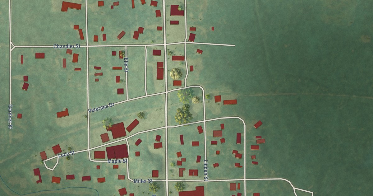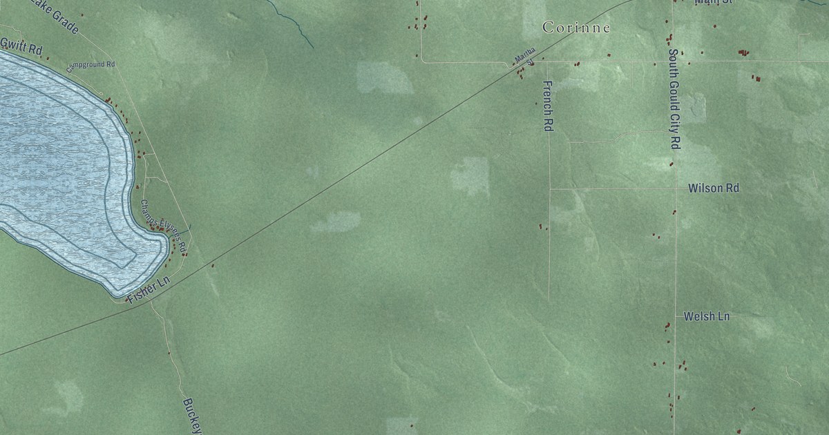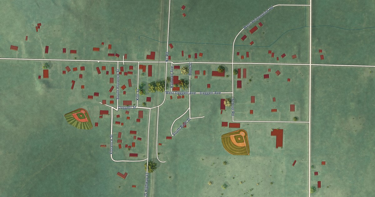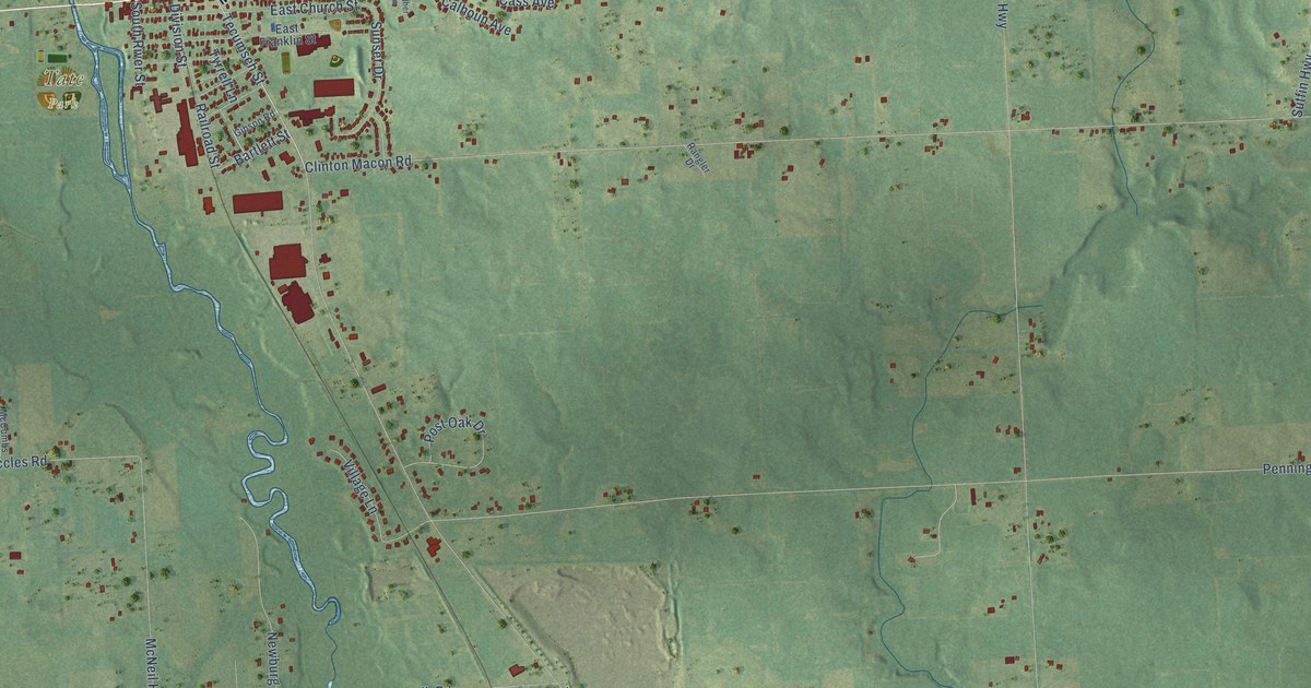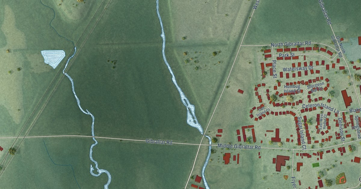
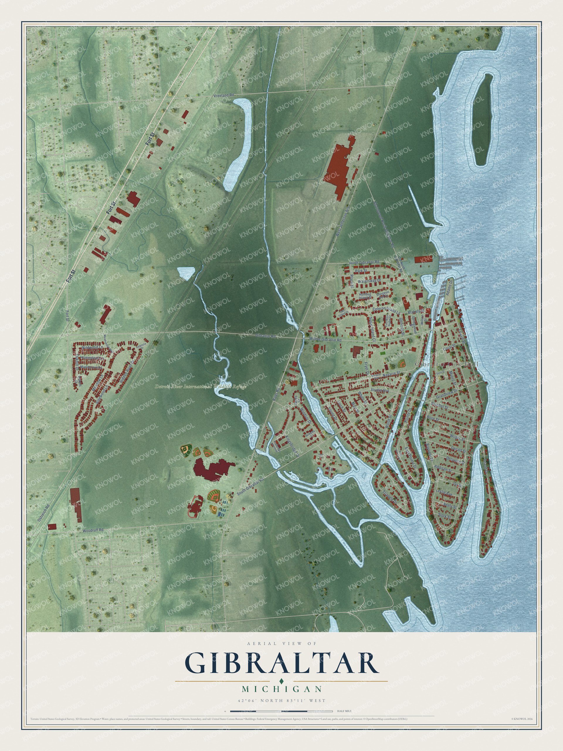
This beautifully detailed map of Gibraltar, Michigan was created in 2026 using aerial imagery combined with modern topographical, census, street and landmark data. It's a modern aerial view of Gibraltar in Wayne County, Michigan, that combines modern data with a vintage aesthetic. The roads feature printed names, and if you look closely you can find your exact house accurately shown in its correct location.
Explore an aerial view of Gibraltar, Michigan
On this map you'll find Gibralter City Hall, Detroit River International Wildlife Refuge, Fort Street, Oakhill Drive, Pointe Drive, River Road, Blakely Street, West Jefferson Avenue, Adams Drive, South Gibraltar Road, Gibraltar Road, Vreeland Road, and more. Each red shape is a building, so zoom in on the preview and look for yours.
Every town has a first chapter, and Gibraltar is no exception. The History of Detroit and Michigan puts it this way: "On February 12 six companies of militia were called out by Governor Mason to go to Gibraltar to preserve the peace."
Gibraltar is a city in Wayne County. The Census Bureau counted 4,997 people here in 2020.
Take a closer look at the Gibraltar map
Names on this map
These names are printed on this map.
Places: Gibralter City Hall and Detroit River International Wildlife Refuge.
Streets and roads: Fort Street, Oakhill Drive, Pointe Drive, River Road, Blakely Street, West Jefferson Avenue, Adams Drive, South Gibraltar Road, Gibraltar Road, Vreeland Road, Bayview Drive, Woodruff Road.
More street names, A to Z
Abandoned North Gibraltar Road, Addison Street, Calf Island Court, Celeron Island Lane, Coral Street, Davis Street, Delavern Street, Denison Street, Duck Court, East Pointe Drive, East West Hedke Court, Fryer Drive, Gerald Street, Grandview Drive, Gull Court, Hidden River Drive, Homestead Lane, Humbug Island Court, Island Drive, Ivy Street, James Court, Kingsbridge Apartment, Kingsbridge Drive, Leslie Avenue, Lisch Street, Lowell Street, Maplegrove Road, Marr Street, Meadow Lane, Meadowlark Boulevard, Middle Gibraltar Road, Munro Street, Navarre Avenue, Navarre Street, Neely Street, North Gibraltar Road, Oakhill Court, Old North Gibraltar Road, Ostreich Road, Park Street, Place Street, Point Channel Drive, Rose Street, Springstead Street, Stoeflet Boulevard, Stoeflet Street, Stork Street, Sturgeon Bar Court, Sugar Island Court, Triangle Drive, Valencia Drive, Vinewood Lane, Watersway Drive, White Street, Wildwood Lane, Williams Court, Wilson Street, Windsor Drive, Worth Street, Wright Street, Young Drive.
Created by KNOWOL in 2026. The buildings are small red shapes, the roads carry their printed names, and shaded relief shows the shape of the land. The title panel reads "AERIAL VIEW OF GIBRALTAR, MICHIGAN" with 42°06' NORTH 83°11' WEST.
Hang it in the hallway, the office or the cabin, or give it to someone who left Gibraltar and still calls it home. Open the preview and look for a street you know. See sizes and frames for the Gibraltar map.