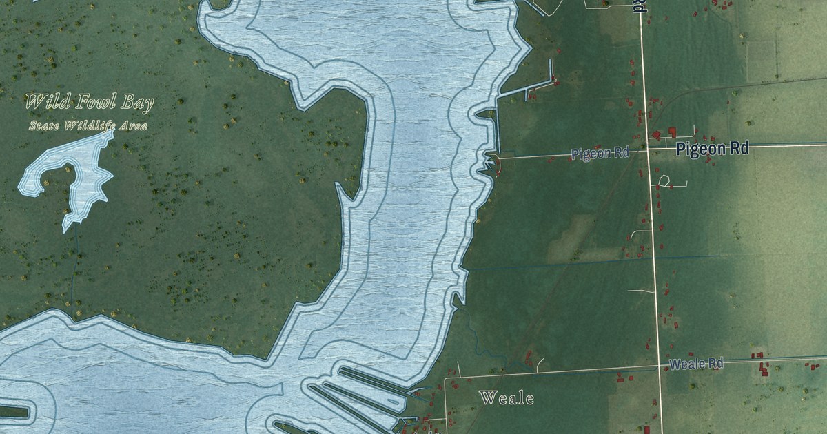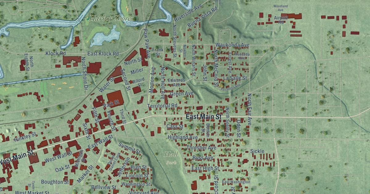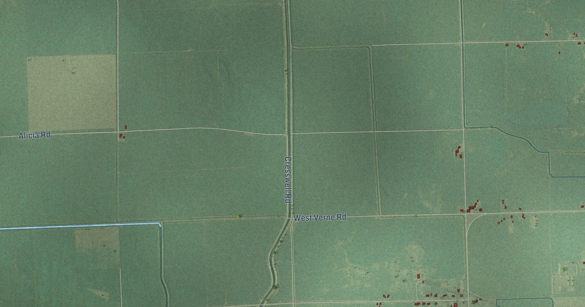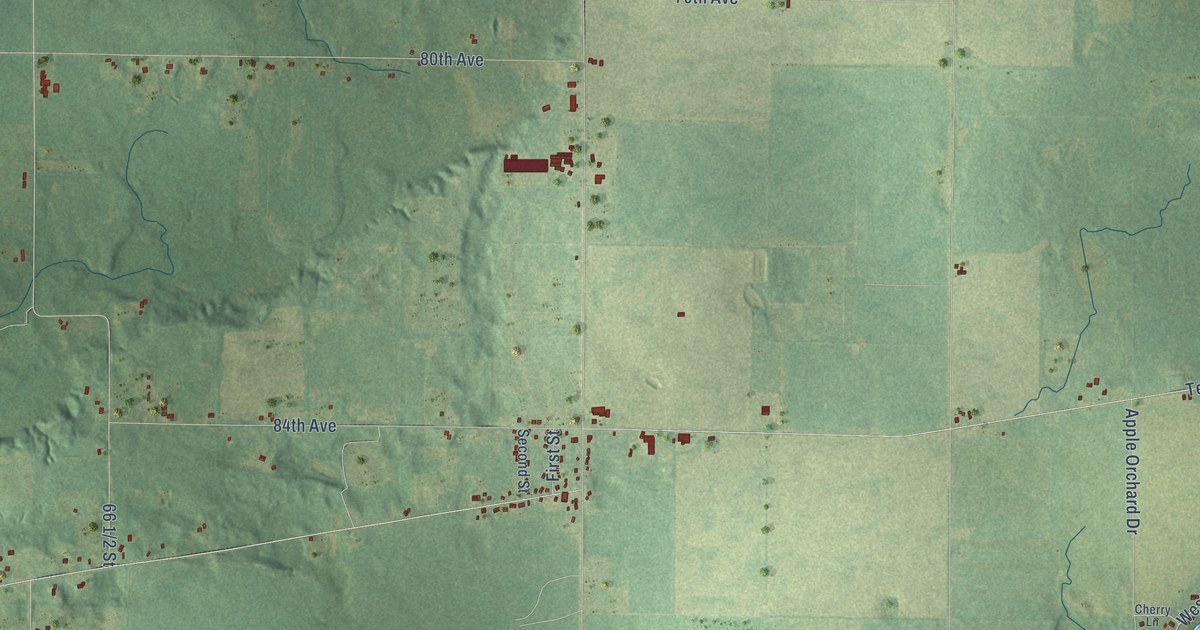
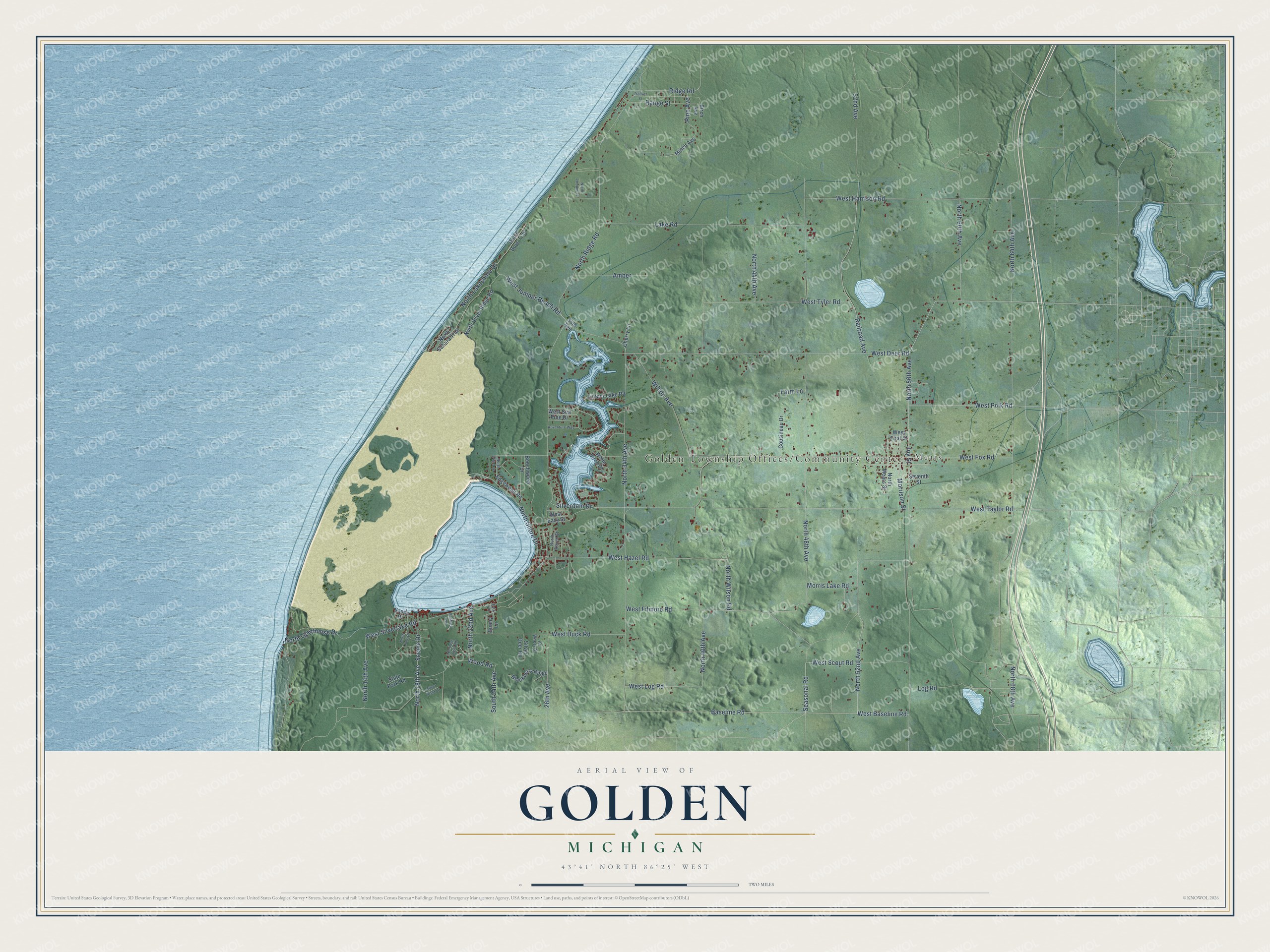
This beautifully detailed map of Golden, Michigan was created in 2026 using aerial imagery combined with modern topographical, census, street and landmark data. It's a modern aerial view of Golden in Oceana County, Michigan, that combines modern data with a vintage aesthetic. The roads feature printed names, and if you look closely you can find your exact house accurately shown in its correct location.
Explore an aerial view of Golden, Michigan
On this map you'll find Golden Township Offices/Community Center, Mears, West Fox Road, North 56th Avenue, West Tyler Road, North 52nd Avenue, Seasonal Road, Joy Street, North 18th Avenue, West Baseline Road, Baseline Road, Ridge Road, and more. Each red shape is a building, so zoom in on the preview and look for yours.
Here is a piece of Golden history, in the words of the record. The Michigan History Center puts it this way: "In 1902, the first overland route to the lighthouse was cut from Mears."
The Census Bureau counted 1,660 people here in 2020.
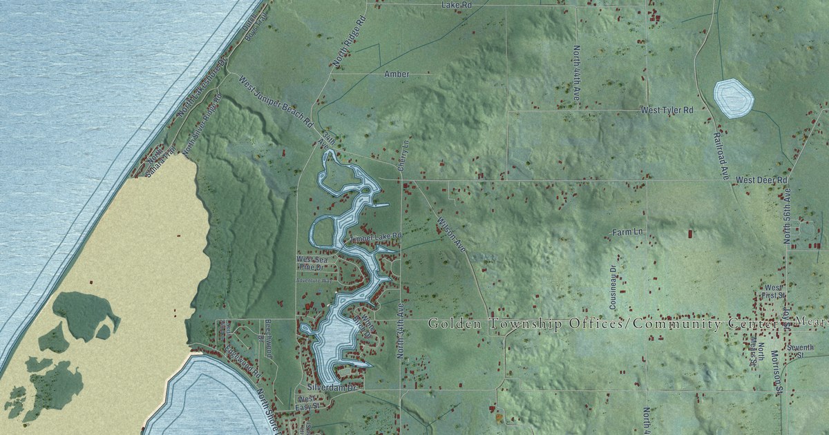
Take a closer look at the Golden map
Names on this map
These names are printed on this map.
Places: Mears.
Streets and roads: West Fox Road, North 56th Avenue, West Tyler Road, North 52nd Avenue, Seasonal Road, Joy Street, North 18th Avenue, West Baseline Road, Baseline Road, Ridge Road, North Ridge Road, North 64th Avenue.
More street names, A to Z
28th Avenue, 34th Avenue, 52nd Avenue, Adventure Way, All Wheel Drive, Amber, Beechwood Drive, Birch Avenue, Blackberry Ridge, Bunny Lane, Cherry Lane, Cousineau Drive, Dutch Boys Trail, Edgewood Road, Eric Lane, Farm Lane, Lake Road, Log Road, Minch Avenue, Morris Lake Road, Morrison Street, North 14th Avenue, North 22nd Avenue, North 24th Avenue, North 34th Avenue, North 40th Avenue, North 44th Avenue, North 48th Avenue, North 60th Avenue, North 68th Avenue, Northern Light Road, North June Drive, North Juniper Street, North Lakeshore Drive, North Lighthouse Drive, North Mears Street, North Raven Street, North Sahara Trail, North Shore Drive, North Silver Ridge Road, North Wilson Road, Pine Avenue, Railroad Avenue, Range Street, Sandy Drive, Scenic Drive, Scofield Avenue, Seventh Street, Silverdam Drive, Silver Deer Road, Silver Vista Lane, South 24th Avenue, State Park Road, Timber Lake Road, Tolliver Street, West Deer Road, West Duck Road, West Easy Street, West Filmore Road, West First Street, West Harrison Road, West Hazel Road, West Juniper Beach Road, West Log Road, West Polk Road, West Scout Road, West Sea Pine Drive, West Silverlake Road, West Taylor Road, White Birch Drive, Wilson Avenue, Wood Road.
Created by KNOWOL in 2026. The buildings are small red shapes, the roads carry their printed names, and shaded relief shows the shape of the land. The title panel reads "AERIAL VIEW OF GOLDEN, MICHIGAN" with 43°41' NORTH 86°25' WEST.
It suits a den, a classroom or a front hall, and it makes a gift for anyone with Golden roots. Open the preview and find the block you know. See sizes and frames for the Golden map.