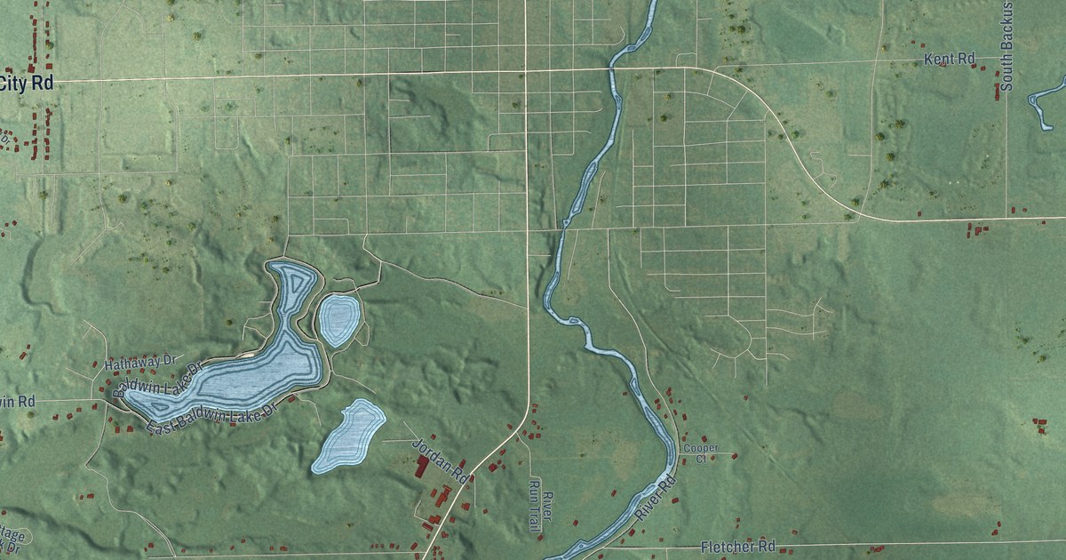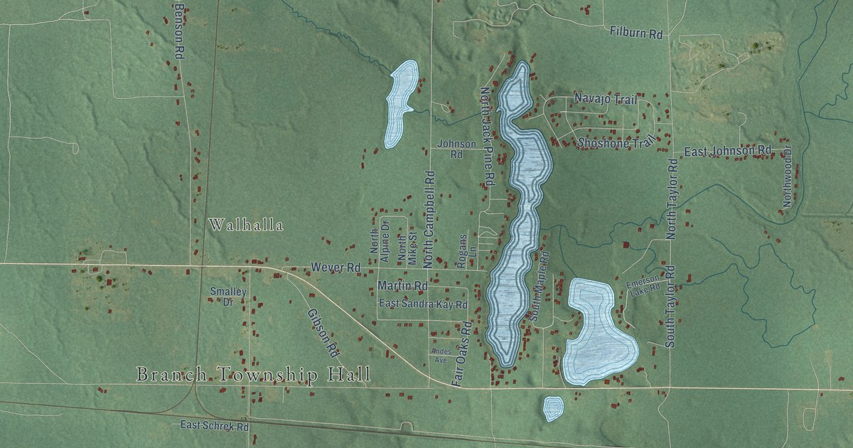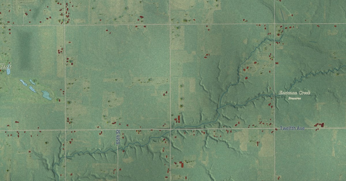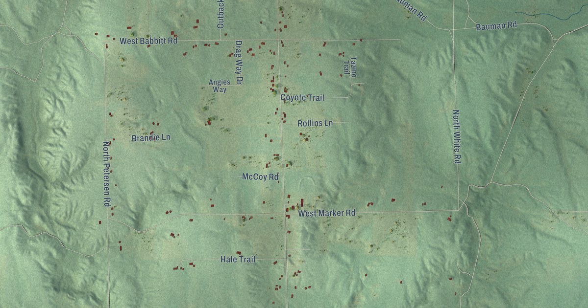
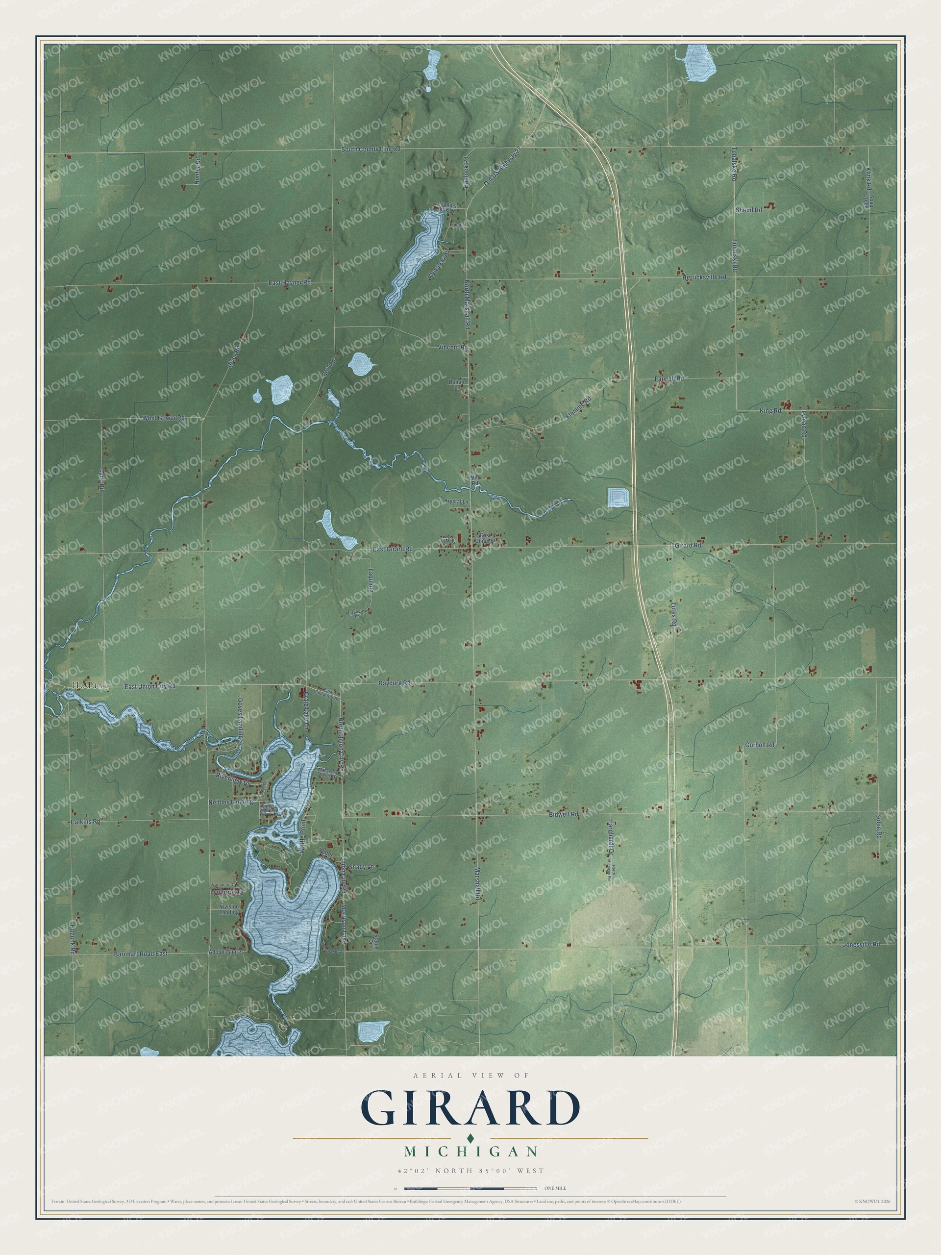
This beautifully detailed map of Girard, Michigan was created in 2026 using aerial imagery combined with modern topographical, census, street and landmark data. It's a modern aerial view of Girard in Branch County, Michigan, that combines modern data with a vintage aesthetic. The roads feature printed names, and if you look closely you can find your exact house accurately shown in its correct location.
Explore an aerial view of Girard, Michigan
On this map you'll find Hodunk, East Union City Road, North Union City Road, Waffle Point, Morrison Lake, Marshall Road, Tobalski Road, North Marshall Road, Old US Highway 27, East Girard Road, South County Line Road, River Road, and more. Each red shape is a building, so zoom in on the preview and look for yours.
Here is a piece of Girard history, in the words of the record. The Twentieth Century History of Branch County puts it this way: "The first settler came to Girard prairie in 1829: it was six years after that before permanent settlers located in Butler."
The Census Bureau counted 1,770 people here in 2020.
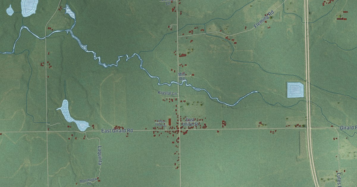
Take a closer look at the Girard map
Names on this map
These names are printed on this map.
Places: Hodunk and Morrison Lake.
Streets and roads: East Union City Road, North Union City Road, Waffle Point, Marshall Road, Tobalski Road, North Marshall Road, Old US Highway 27, East Girard Road, South County Line Road, River Road, Dayburg Road, Bell Road.
More street names, A to Z
Adolph Shores, Barnhart Road East, Bidwell Road, Cady Road, Calkins Road, Craig Lake Lane, Donald Lane, Doves Landing, Earnhardt Drive, East Coldwater Road, East Hayner Road, East Union Street, Farwell Road, Fleming Road, Girard Road, Gorbell Road, Hadlock Road, Harbor View Lane, Herricksville Road, Hodunk Road, Hunter Road, Hyannis Hills Drive, Jonesville Road, King Road, Klink Road, Kowalski Drive, Krystal Lane, Laquinta, Lincoln Drive, Lutes Road, Lyman Road, Lynbrook Drive, Marshview Lane, Mill Road, Neibles Landing, Nivision Landing, North Michigan Road, Riverview Drive, Shady Lane, Shedd Road, Soap Creek, Sobie Road, South Hawley Drive, Stable Drive, Stevens Shores Drive, Tobalske Road, Treasure Lane, Union City Road, Vanaken Drive, Vincent Road, Waffle Drive, West Gower Road, West Union Street.
Created by KNOWOL in 2026. The buildings are small red shapes, the roads carry their printed names, and shaded relief shows the shape of the land. The title panel reads "AERIAL VIEW OF GIRARD, MICHIGAN" with 42°02' NORTH 85°00' WEST.
It suits a den, a classroom or a front hall, and it makes a gift for anyone with Girard roots. Open the preview and find the block you know. See sizes and frames for the Girard map.