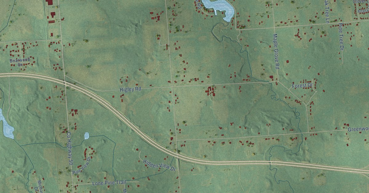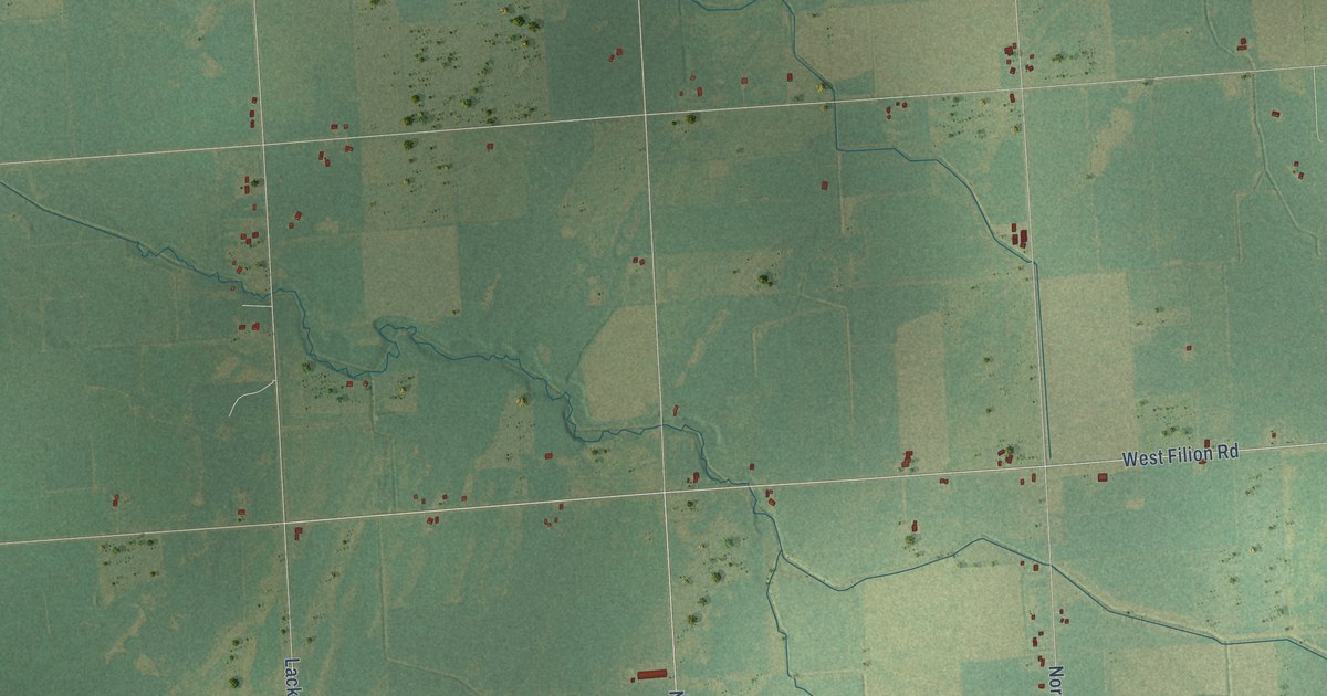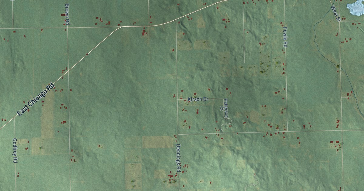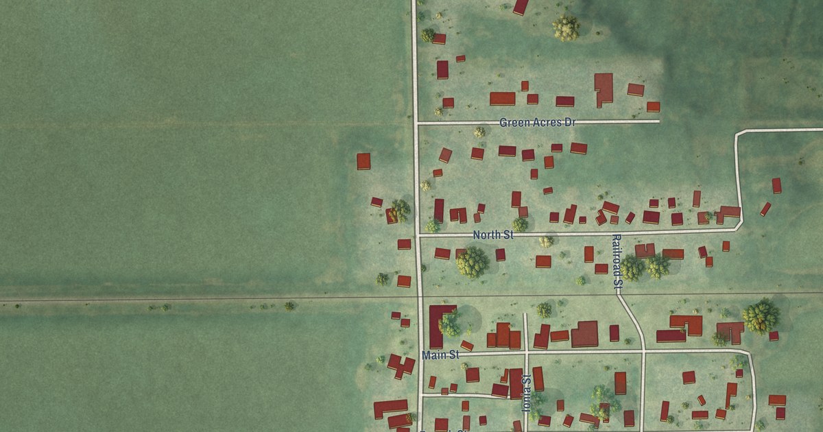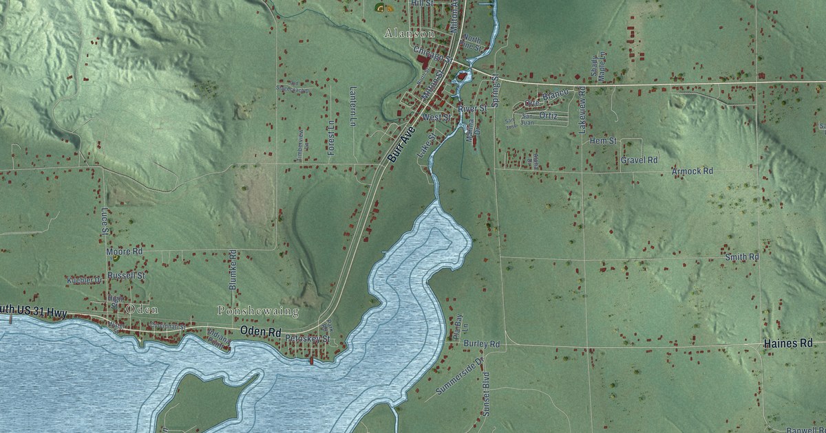
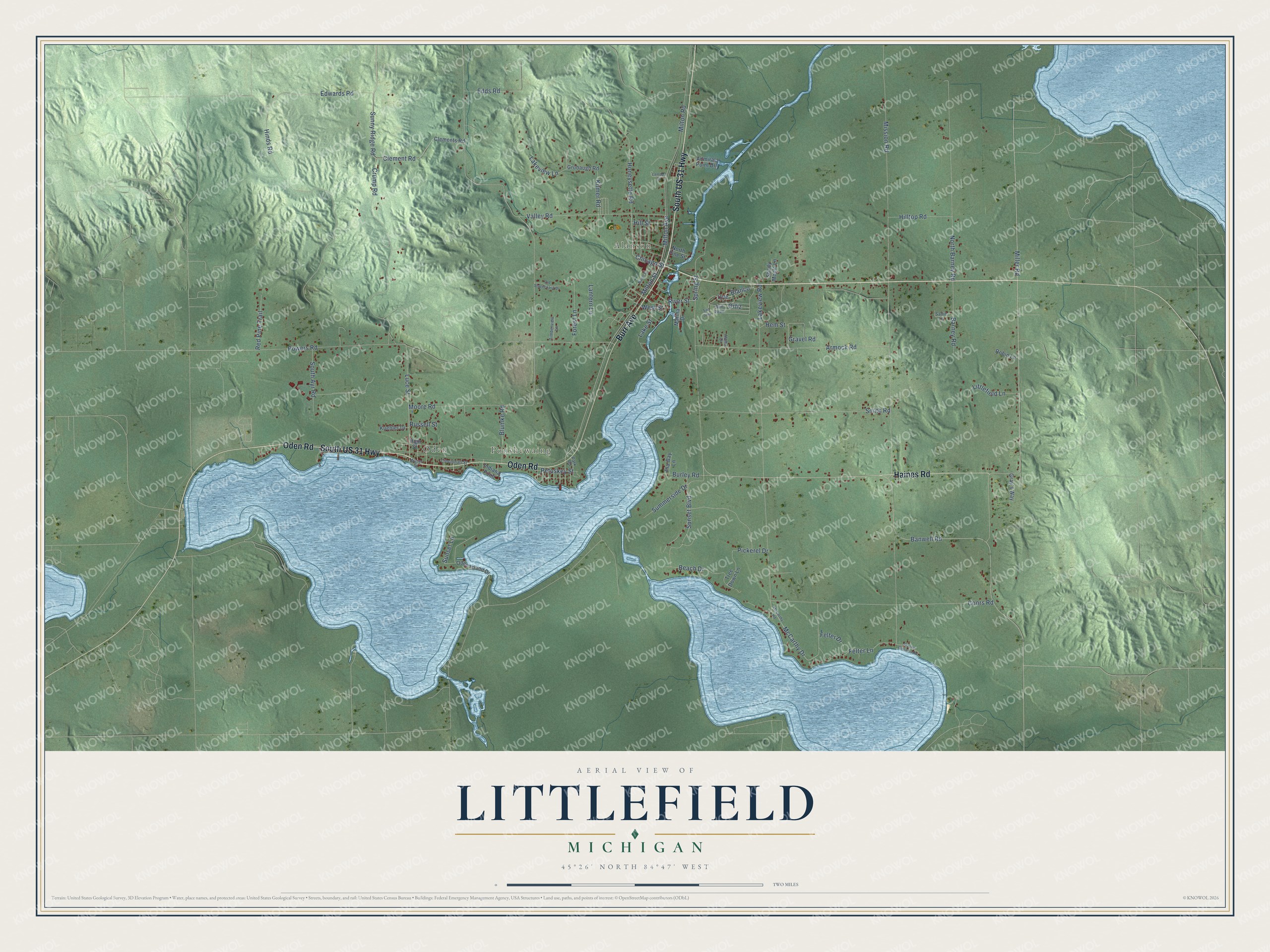
This beautifully detailed map of Littlefield, Michigan was created in 2026 using aerial imagery combined with modern topographical, census, street and landmark data. It's a modern aerial view of Littlefield in Emmet County, Michigan, that combines modern data with a vintage aesthetic. The roads feature printed names, and if you look closely you can find your exact house accurately shown in its correct location.
Explore an aerial view of Littlefield, Michigan
On this map you'll find Oden, Alanson, Ponshewaing, South US 31 Highway, Oden Road, Burr Avenue, Haines Road, Ortiz, Bianco, Chicago Street, Banwell Road, Milton Road, and more. Each red shape is a building, so zoom in on the preview and look for yours.
The Census Bureau counted 3,200 people here in 2020. The map prints the town name in its title panel, with the coordinates below it.
Take a closer look at the Littlefield map
Names on this map
These names are printed on this map.
Places: Oden, Alanson and Ponshewaing.
Streets and roads: South US 31 Highway, Oden Road, Burr Avenue, Haines Road, Ortiz, Bianco, Chicago Street, Banwell Road, Milton Road, Felter Lane, Sunny Ridge Road, River Street.
More street names, A to Z
Admiral Point Drive, Aloha Drive, Armock Road, Barney Road, Beach Drive, Blumke Road, Burley Road, Cincinnati Street, Clement Road, Clements Road, Coors Road, Crump Road, Edds Road, Edwards Road, Felter Drive, Forest Lane, Gravel Road, Gray's Way, Grubaugh Road, Hem Street, High Street, Hill Street, Hilltop Road, Hinds Road, Honeysette Road, Indiana Point, Kilmer Road, Kuebler Drive, Lake Street, Lakeview Lane, Lakeview Road, Lambert Drive, Lantern Lane, Littlefield Lane, Luce Street, Marina Drive, McCarthy Drive, McCarthy Road, Miller Road, Milton Avenue, Milton Street, Mission Road, Moore Road, North Barney Road, North Pine Street, North Street, Oden Island Drive, Old Stagecoach Drive, Orte, Park Road, Petoskey Street, Pickerel Drive, Pla-Bay Lane, Powers Road, Red Pine Trail, Robin Lane, Russell Street, Sadie Lane, San Jose, San Juan, Shady Maple Lane, Smith Road, South Ayr Road, Spring Street, Summerside Drive, Sunset Boulevard, Sunset Lane, Timberview Lane, Tree Down Lane, Valley Road, Water Street, Wayne Williams Road, West Street.
Created by KNOWOL in 2026. The buildings are small red shapes, the roads carry their printed names, and shaded relief shows the shape of the land. The title panel reads "AERIAL VIEW OF LITTLEFIELD, MICHIGAN" with 45°26' NORTH 84°47' WEST.
It looks right in a kitchen, an office or a den, and it's a gift for anyone who grew up in Littlefield or moved away. Open the preview and find your street. See sizes and frames for the Littlefield map.