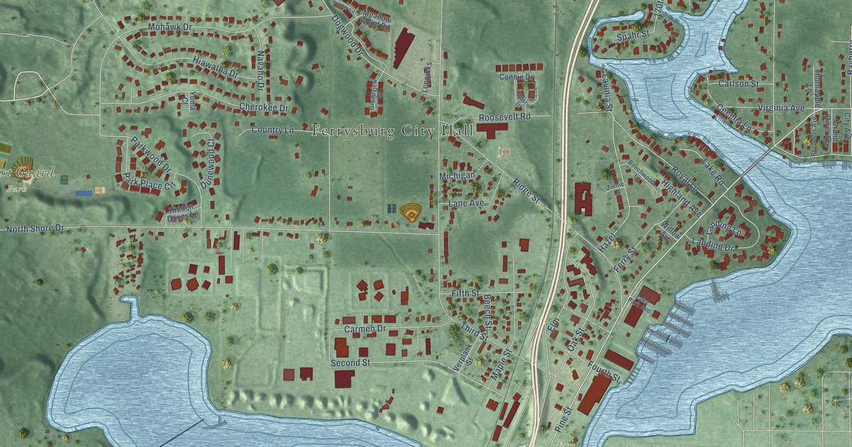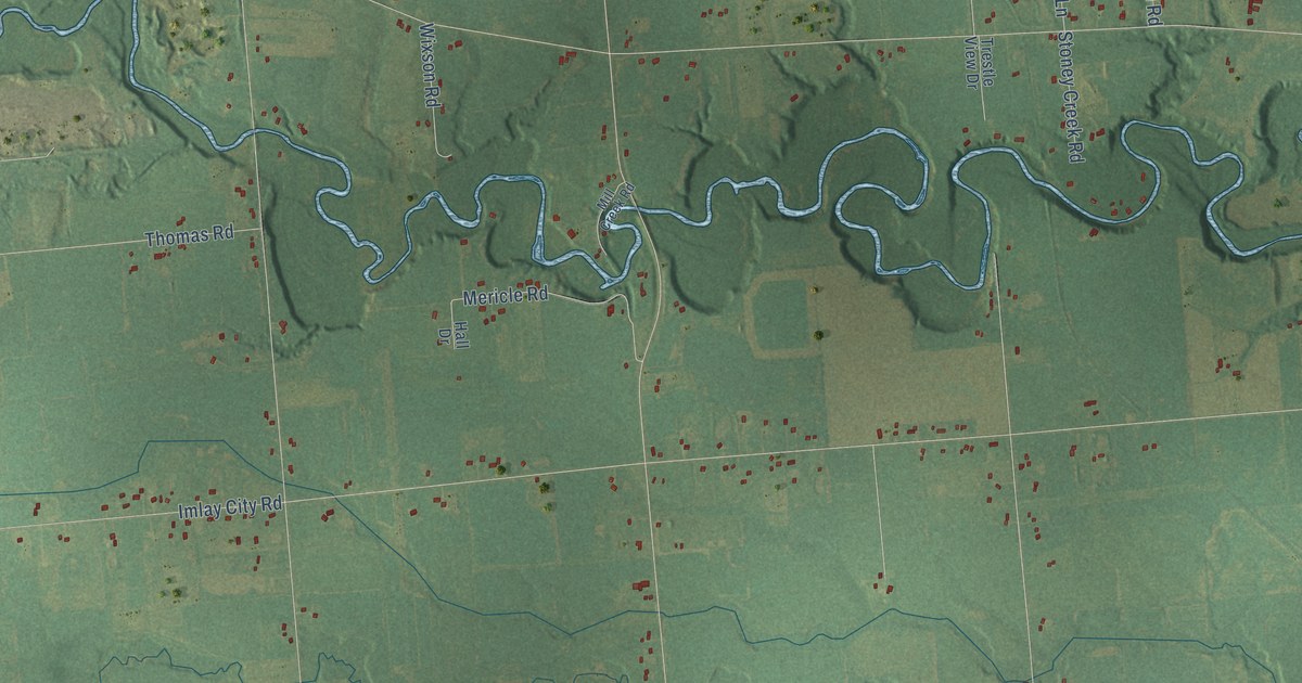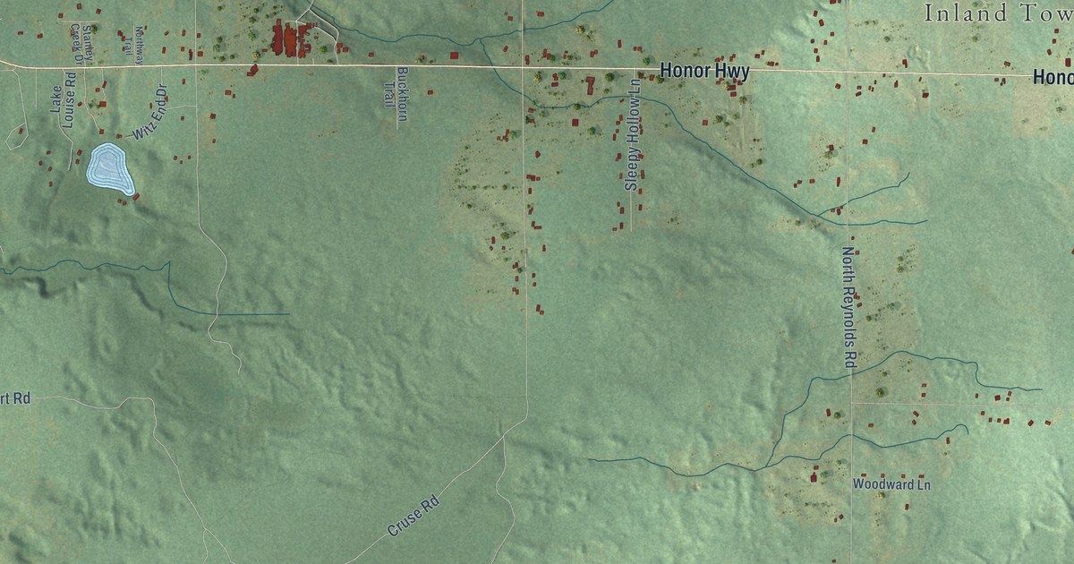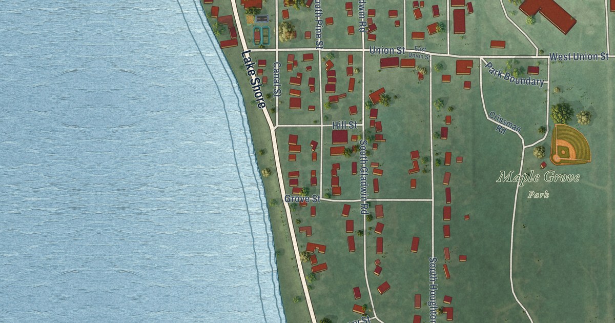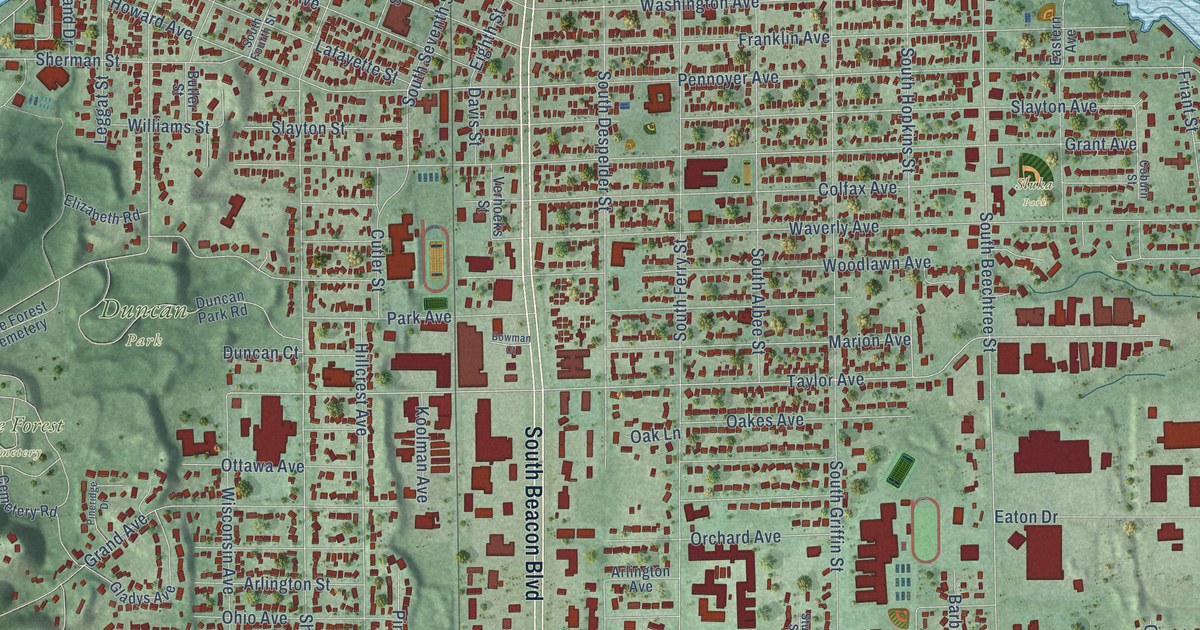
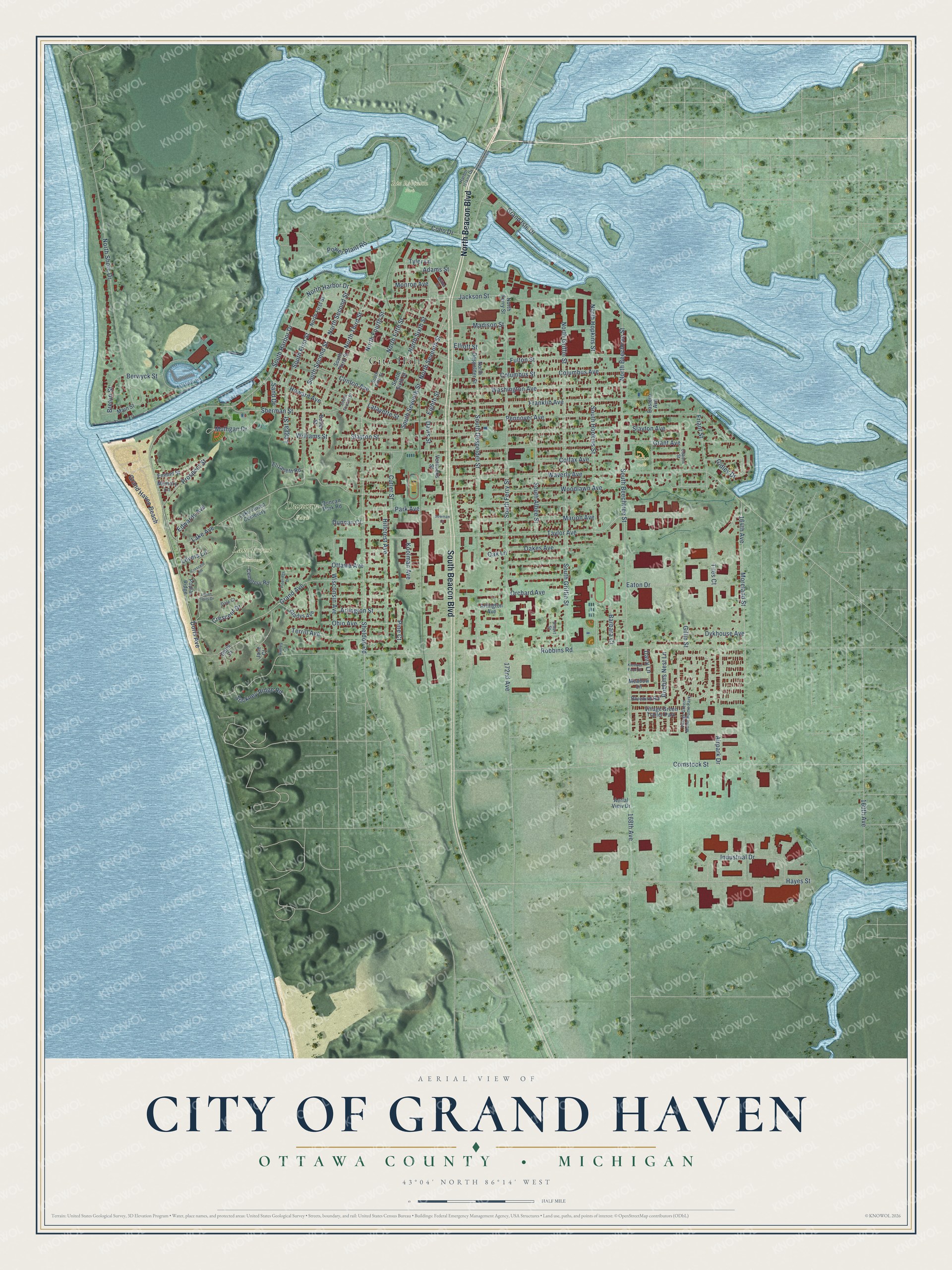
This beautifully detailed map of Grand Haven, Michigan was created in 2026 using aerial imagery combined with modern topographical, census, street and landmark data. It's a modern aerial view of Grand Haven in Ottawa County, Michigan, that combines modern data with a vintage aesthetic. The roads feature printed names, and if you look closely you can find your exact house accurately shown in its correct location.
Explore an aerial view of Grand Haven, Michigan
On this map you'll find City Hall, Duncan Park, Lake Forest Cemetery, Rix Robinson Park, Sluka Park, South Beacon Boulevard, North Beacon Boulevard, North Harbor Drive, North Second Street, South Second Street, Jackson Street, Grand Haven Beach, and more. Each red shape is a building, so zoom in on the preview and look for yours.
Grand Haven has a story worth telling. The History of Ottawa County puts it this way: "Public worship was established at Grand Haven at the time of the arrival of Mr. Ferry, he preaching in his own house until the erection of the school-house in the fall of 1836."
Grand Haven is a city in Ottawa County. The Census Bureau counted 11,011 people here in 2020.
Take a closer look at the Grand Haven map
Names on this map
These names are printed on this map.
Places: City Hall, Duncan Park, Lake Forest Cemetery, Rix Robinson Park, Sluka Park, Village Green Trailer Park and Village Green Moble Home Park.
Streets and roads: South Beacon Boulevard, North Beacon Boulevard, North Harbor Drive, North Second Street, South Second Street, Jackson Street, Grand Haven Beach, South Harbor Drive, Taylor Avenue, North Fifth Street, North Seventh Street, North Griffin Street.
More street names, A to Z
160th Avenue, 164th Avenue, 168th Avenue, 172nd Avenue, Adams Street, Aerial View Drive, Airpark Drive, Arlington Avenue, Arlington Street, Barbara Court, Berwyck Street, Bluebird Road, Bowman Court, Breton Street, Butler Street, Cemetery Road, Clinton Avenue, Coburn Street, Coho Drive, Colfax Avenue, Columbus Avenue, Columbus Street, Comstock Street, Crescent Drive, Crescent Hill, Cutler Street, Dairy Lane, Dale Court, Davis Street, Doris Avenue, Doris Court, Duncan Court, Duncan Park Road, Dykhouse Avenue, Eastern Avenue, Eaton Drive, Edwards Avenue, Eighth Street, Elizabeth Road, Elliott Street, Emmet Street, Franklin Avenue, Friant Street, Fulton Street, Gidley Drive, Gillin Street, Gladys Avenue, Grand Avenue, Grand Isle Drive, Grant Avenue, Harbor Island Drive, Hayes Street, Hillcrest Avenue, Howard Avenue, Indian Trails Drive, Industrial Drive, Jane Court, Klempel Farm Drive, Koolman Avenue, Lafayette Street, Lake Avenue, Leggat Street, Lovers Lane, Madison Street, Main Street, Marion Avenue, Meadow Lane, Memory Lane, Miller Drive, Monroe Avenue, Moreland Street, Mulligan Drive, North Beechtree Street, North Despelder Street, North Ferry Street, North First Street, North Fourth Street, North Hopkins Street, North Shore Drive, North Sixth Street, North Third Street, Oakes Avenue, Oak Lane, Ohio Avenue, Orchard Avenue, Ottawa Avenue, Park Avenue, Pennoyer Avenue, Pine Court, Pineridge Drive, Poplar Ridge, Power Plant Road, Prospect Street, Robbins Nest Lane, Robbins Road, Sand Drive, Sheldon Road, Sherman Street, Slayton Avenue, Slayton Street, South Albee Street, South Beechtree Street, South Despelder Street, South Ferry Street, South Fifth Street, South First Street, South Fourth Street, South Griffin Street, South Hopkins Street, South Seventh Street, South Sixth Street, South Third Street, Stickney Ridge Road, Stuart Street, Terrill Avenue, Tiles Court, Tyler Lane, Valley Court, Verhoeks Street, Washington Avenue, Waverly Avenue, Williams Street, Wisconsin Avenue, Woodlawn Avenue.
Created by KNOWOL in 2026. The buildings are small red shapes, the roads carry their printed names, and shaded relief shows the shape of the land. The title panel reads "AERIAL VIEW OF CITY OF GRAND HAVEN, OTTAWA COUNTY • MICHIGAN" with 43°04' NORTH 86°14' WEST.
It looks right in a kitchen, an office or a den, and it's a gift for anyone who grew up in Grand Haven or moved away. Open the preview and find your street. See sizes and frames for the Grand Haven map.