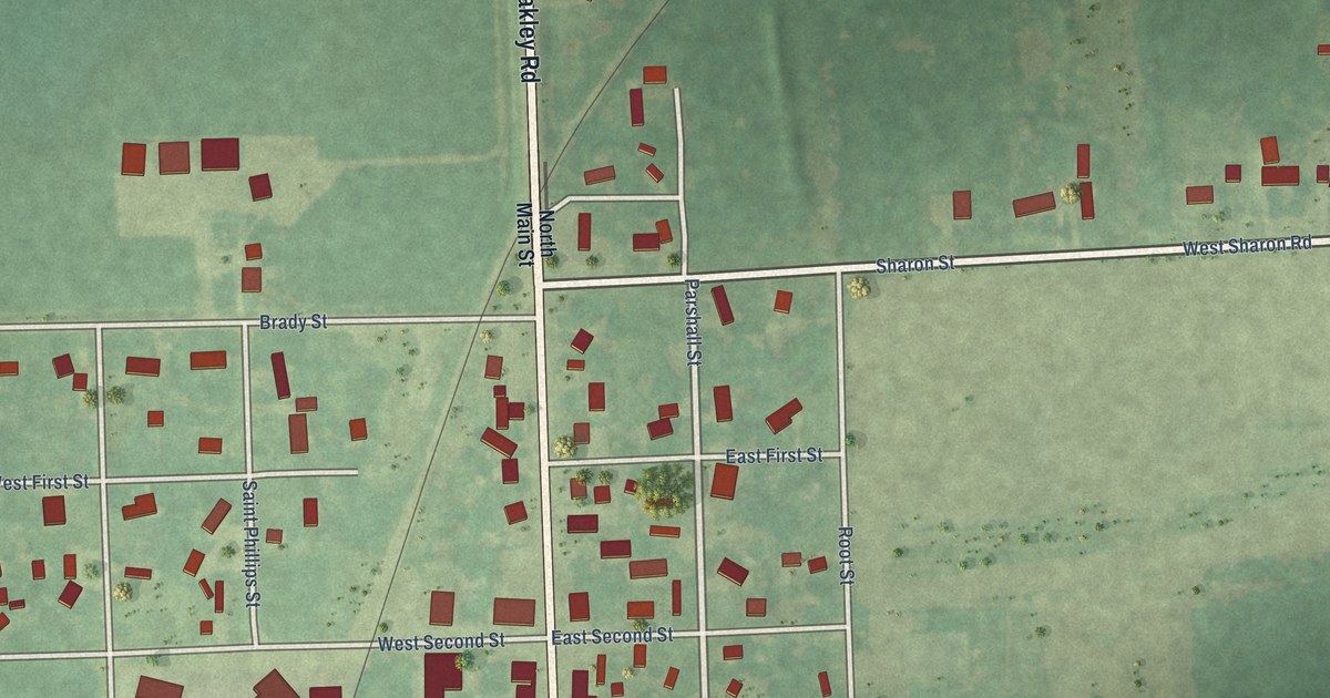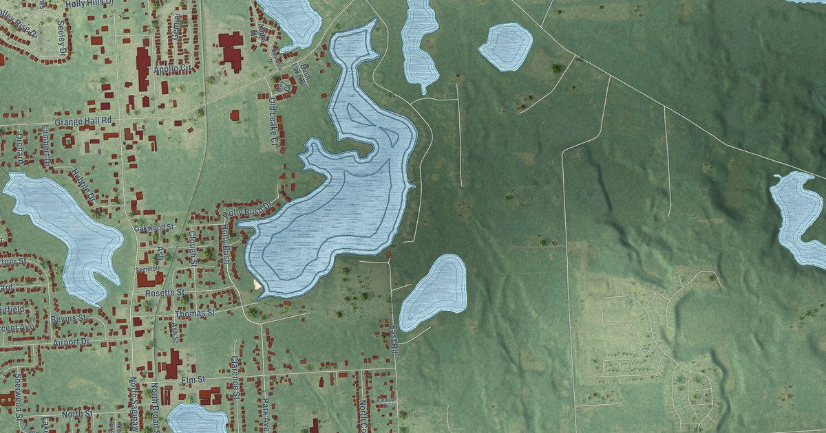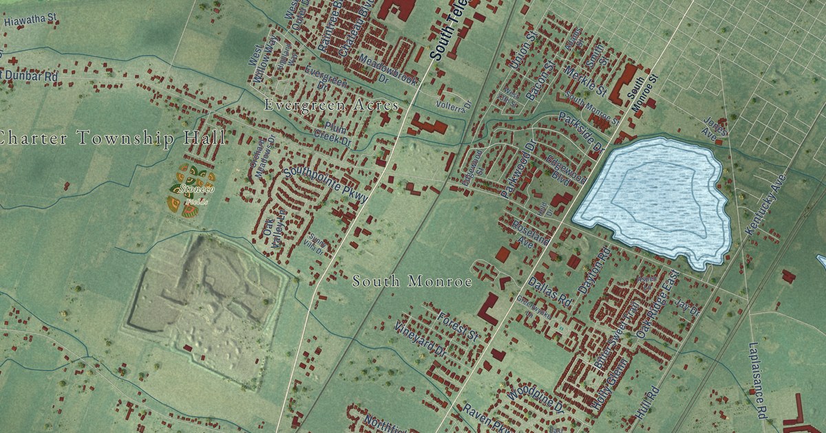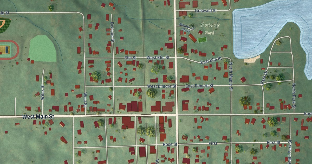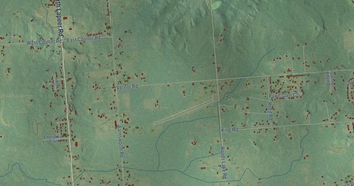
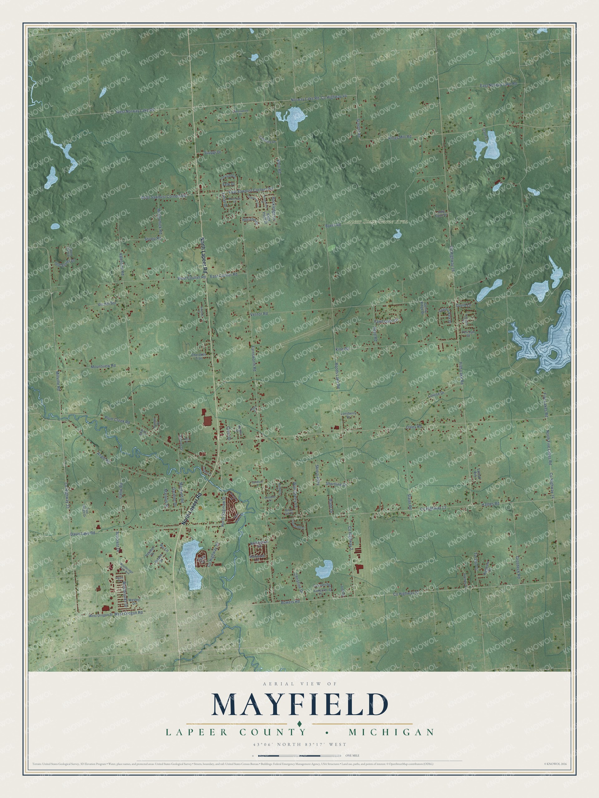
This beautifully detailed map of Mayfield, Michigan was created in 2026 using aerial imagery combined with modern topographical, census, street and landmark data. It's a modern aerial view of Mayfield in Lapeer County, Michigan, that combines modern data with a vintage aesthetic. The roads feature printed names, and if you look closely you can find your exact house accurately shown in its correct location.
Explore an aerial view of Mayfield, Michigan
On this map you'll find Lapeer State Game Area, North Lapeer Road, East Norway Lake Road, West Norway Lake Road, Millville Road, Weir Road, East Sawdust Corners Road, Co Highway 44, Westbrooke Drive, Ru-Lane, Co Highway 50, North Saginaw Street, and more. Each red shape is a building, so zoom in on the preview and look for yours.
Mayfield has a story worth telling. The History of Lapeer County puts it this way: "March 15, 1849, the township of Mayfield was attached to and made a part of the town of Lapeer. March 13, 1869, all of the township, except that portion included in the limits of the city of Lapeer, was again organized as the town of Mayfield, and the first town meeting was held at the school-house near Christopher Farnsworth's."
The Census Bureau counted 7,988 people here in 2020.
Take a closer look at the Mayfield map
Names on this map
These names are printed on this map.
Places: Lapeer State Game Area.
Streets and roads: North Lapeer Road, East Norway Lake Road, West Norway Lake Road, Millville Road, Weir Road, East Sawdust Corners Road, County Highway 44, Westbrooke Drive, Ru-Lane, County Highway 50, North Saginaw Street, County Highway 2.
More street names, A to Z
Angle Road, Bowers Road, Byers Road, Callis Road, Candace Drive, Carol Drive, Cherokee Trail, Christine Drive, Concord Place, Cottonwood Drive, Coulter Court, County Highway 13, County Highway 14, County Highway 16, County Highway 33, County Highway 52, Crestwood Drive, Daley Road, David Lane, Davis Lake Road, Delia Street, East Coulter Road, Farnsworth Road, Fawn Glen Circle, Felk Drive, Field Point Court, Fish Lake Road, Five Lakes Road, Fred Sawgle Drive, Gardner Drive, Genny Ridge Drive, Grant Lane, Grosbeck Road, Haines Road, Heather Drive, Highview Drive, Hired Hand Drive, Hockey Lane, Horizon Drive, Hunter Drive, Judd Drive, Judy Conn Drive, Keeran Drive, Kendra Street, King Road, Kings Mill Road, Knoll Drive, Laclaff Avenue, Lariat Drive, Lincolnshire Drive, Lonsberry Drive, Louise Drive, Maple Drive, Marquis Street, Maverick Lane, Mayfield Road, McCormick Road, Mountview Road, Mulberry Lane, North Five Lakes Road, Norway Lake Road, Nottingham Drive, Old Sorrel Drive, Pilgrim Lane, Plum Creek Road, Porcupine Trail, Reed Road, Riverview Drive, Rockledge Lane, Roods Lake Road, Rulane Drive, Sandhurst Drive, Scholtz Road, Shar Lane, Sherwood Lane, Shortline Drive, Skiers Alley, Slater Road, Stump Road, Suncrest Drive, Suuppi Drive, Teri-Lyn Court, Timberview Trail, Tin Dall Drive, Trackwood Drive, Twin Oaks Drive, Valentine Road, Vernor Road, Virginia Park Drive, Vis del Sol, Wade Drive, Watchhill Drive, Wesley Drive, West Coulter Road, West Oregon Road, West Oregon Street, West Sawdust Corners Road, White Oak Drive, Wild Cherry Lane, Woodbine Drive, Woodbridge Park Avenue, Woodvalley Drive.
Created by KNOWOL in 2026. The buildings are small red shapes, the roads carry their printed names, and shaded relief shows the shape of the land. The title panel reads "AERIAL VIEW OF MAYFIELD, LAPEER COUNTY • MICHIGAN" with 43°06' NORTH 83°17' WEST.
It looks right in a kitchen, an office or a den, and it's a gift for anyone who grew up in Mayfield or moved away. Open the preview and find your street. See sizes and frames for the Mayfield, Lapeer County map.