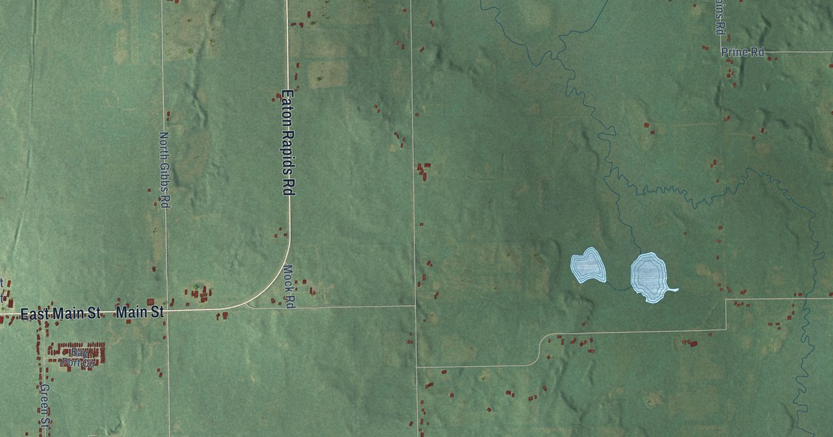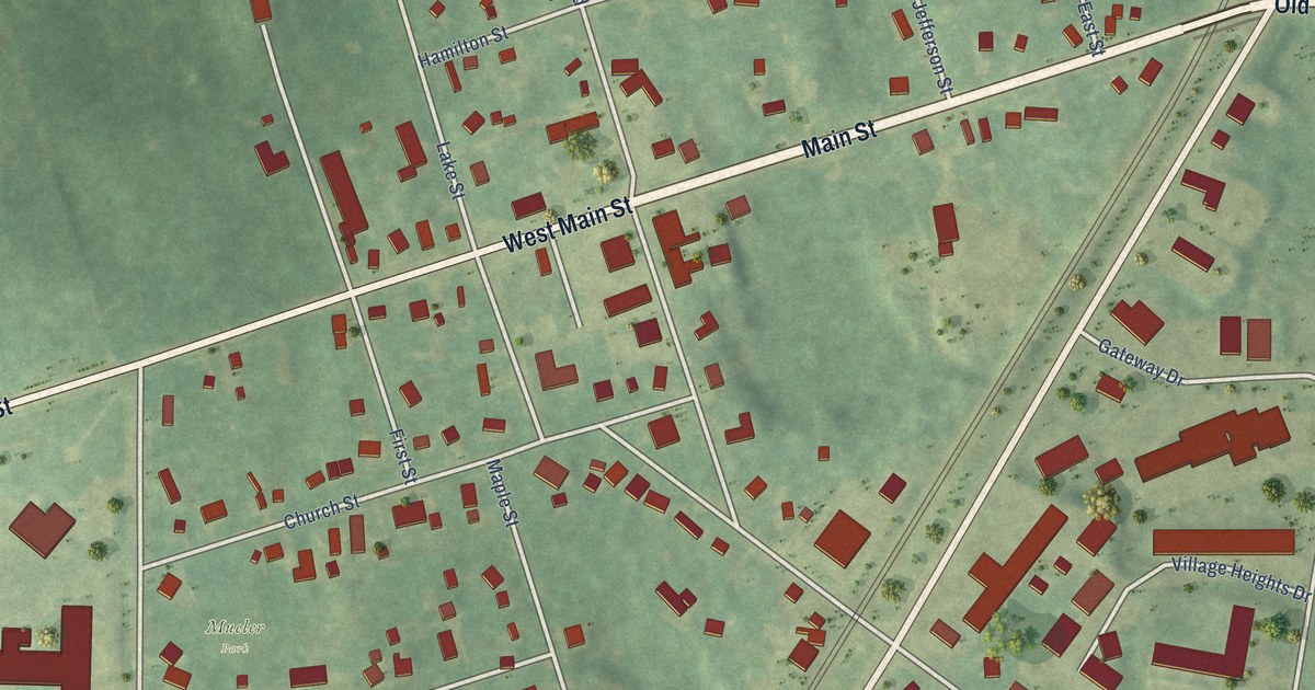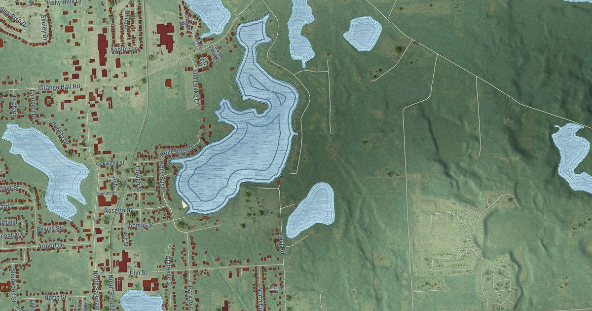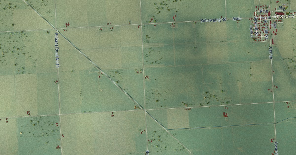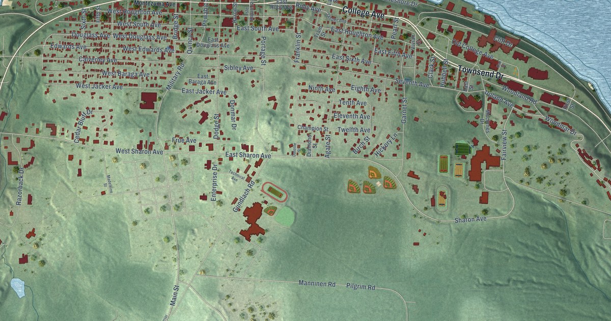
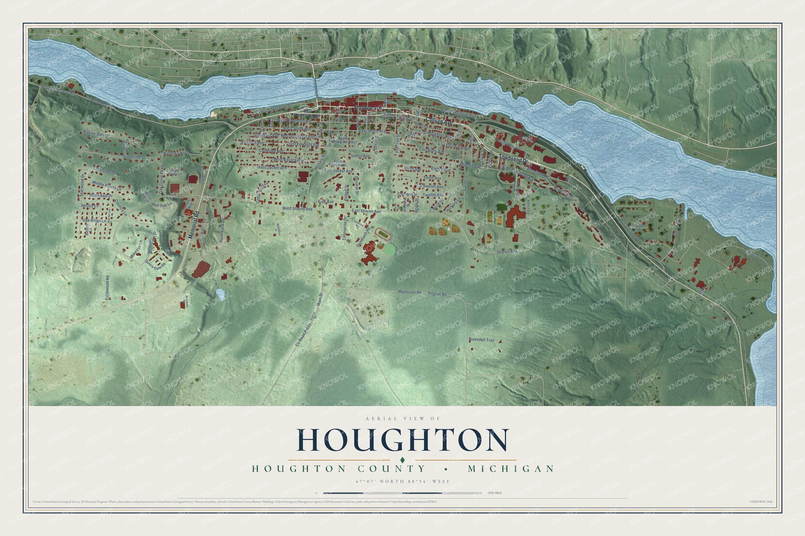
This beautifully detailed map of Houghton, Michigan was created in 2026 using aerial imagery combined with modern topographical, census, street and landmark data. It's a modern aerial view of Houghton in Houghton County, Michigan, that combines modern data with a vintage aesthetic. The roads feature printed names, and if you look closely you can find your exact house accurately shown in its correct location.
Explore an aerial view of Houghton, Michigan
On this map you'll find Shelden Avenue, College Avenue, Memorial Road, Townsend Drive, Fairview Street, Sharon Avenue, East Sharon Avenue, Woodmar Drive, Ruby Avenue, West Sharon Avenue, Upland Avenue, Military Road, and more. Each red shape is a building, so zoom in on the preview and look for yours.
Houghton has a story worth telling. The History of the Northern Peninsula of Michigan puts it this way: "Houghton is a good church town. Among the first denominations to organize was the Catholic in 1859, and the St. Ignatius is still perhaps the strongest religious body in the village."
Houghton is a city in Houghton County. The Census Bureau counted 8,386 people here in 2020.
Take a closer look at the Houghton map
Names on this map
These names are printed on this map.
Streets and roads: Shelden Avenue, College Avenue, Memorial Road, Townsend Drive, Fairview Street, Sharon Avenue, East Sharon Avenue, Woodmar Drive, Ruby Avenue, West Sharon Avenue, Upland Avenue, Military Road.
More street names, A to Z
Agate Street, Balsam Lane, Birch Street, Bluff View Drive, Bridge Street, Brookside Drive, Calverley Avenue, Carlos Street, Cedar Bluff Drive, Century Way, Champion Street, Clark Street, Cliff Drive, Country Lane, County Road P-554, County Road P-651, Crestview Drive, Datolite Street, Diamond Street, Dodge Street, Donmar Drive, Douglass Avenue, East Baraga Avenue, East Douglass Avenue, East Fifth Avenue, East Houghton Avenue, East Jacker Avenue, East Lakeshore Drive, East Ruby Avenue, East Sixth Avenue, East South Avenue, East Street, Edgewood Road, Edwards Avenue, Eighth Avenue, Eleventh Avenue, Enterprise Drive, Fifth Street, First Street, Franklin Street, Frue Avenue, Garnet Street, Gundlach Road, Hickory Lane, Houghton Canal Road, Hubbell Street, Hunters Lane, Huron Street, Isle Royale Street, Jasper Avenue, Lake Avenue, Lake Street, Macinnes Drive, Madeleine Street, Main Street, Manninen Road, Mariner Court, Maureen Lane, Middle Pointe Lane, Ninth Avenue, Oak Grove Parkway, Oak Ridge Lane, Oak Street, Old College Avenue, Park Avenue, Pearl Street, Pewabic Street, Pilgrim Road, Pilgrim Terrace, Portage Cove Drive, Portage Street, Quincy Cove Road, Quincy Street, Ravine Side Drive, Razorback Drive, Razorback Road, Red Oak Lane, Ridge Road, Ripley Street, Rivendell Trail, Robindale Drive, Sandpiper Drive, Seventh Avenue, Sherwood Drive, Sibley Avenue, Sixth Street, Spring House Lane, Spruce Lane, Sugar Maple Lane, Superior Road, Technical Avenue, Tenth Avenue, Tram Street, Twelfth Avenue, Vivian Street, Waterworks Drive, West Baraga Avenue, West Douglass Avenue, West Edwards Avenue, West Houghton Avenue, West Jacker Avenue, West Lakeshore Drive, West Montezuma Avenue, West South Avenue, White Oak Lane, Woodland Road.
Created by KNOWOL in 2026. The buildings are small red shapes, the roads carry their printed names, and shaded relief shows the shape of the land. The title panel reads "AERIAL VIEW OF HOUGHTON, HOUGHTON COUNTY • MICHIGAN" with 47°07' NORTH 88°34' WEST.
It looks right in a kitchen, an office or a den, and it's a gift for anyone who grew up in Houghton or moved away. Open the preview and find your street. See sizes and frames for the Houghton, Houghton County map.