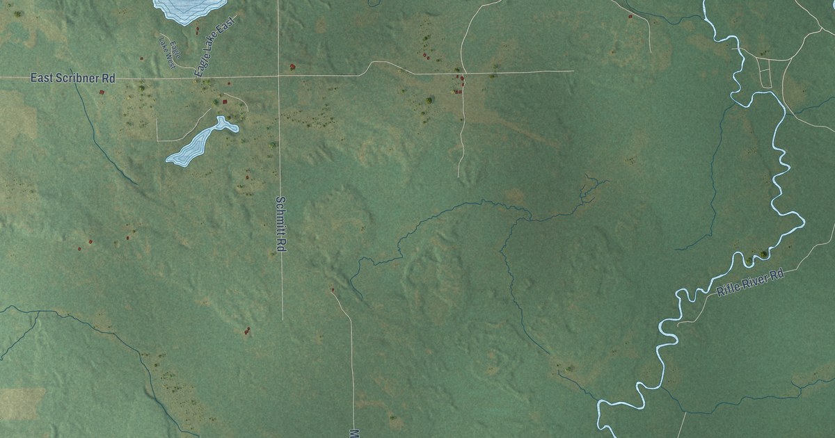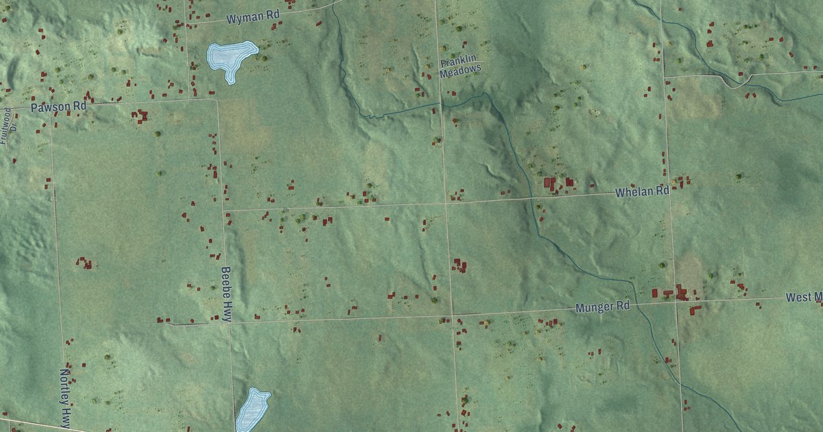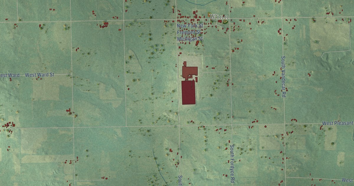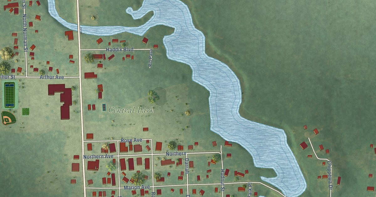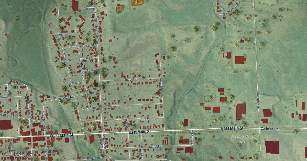
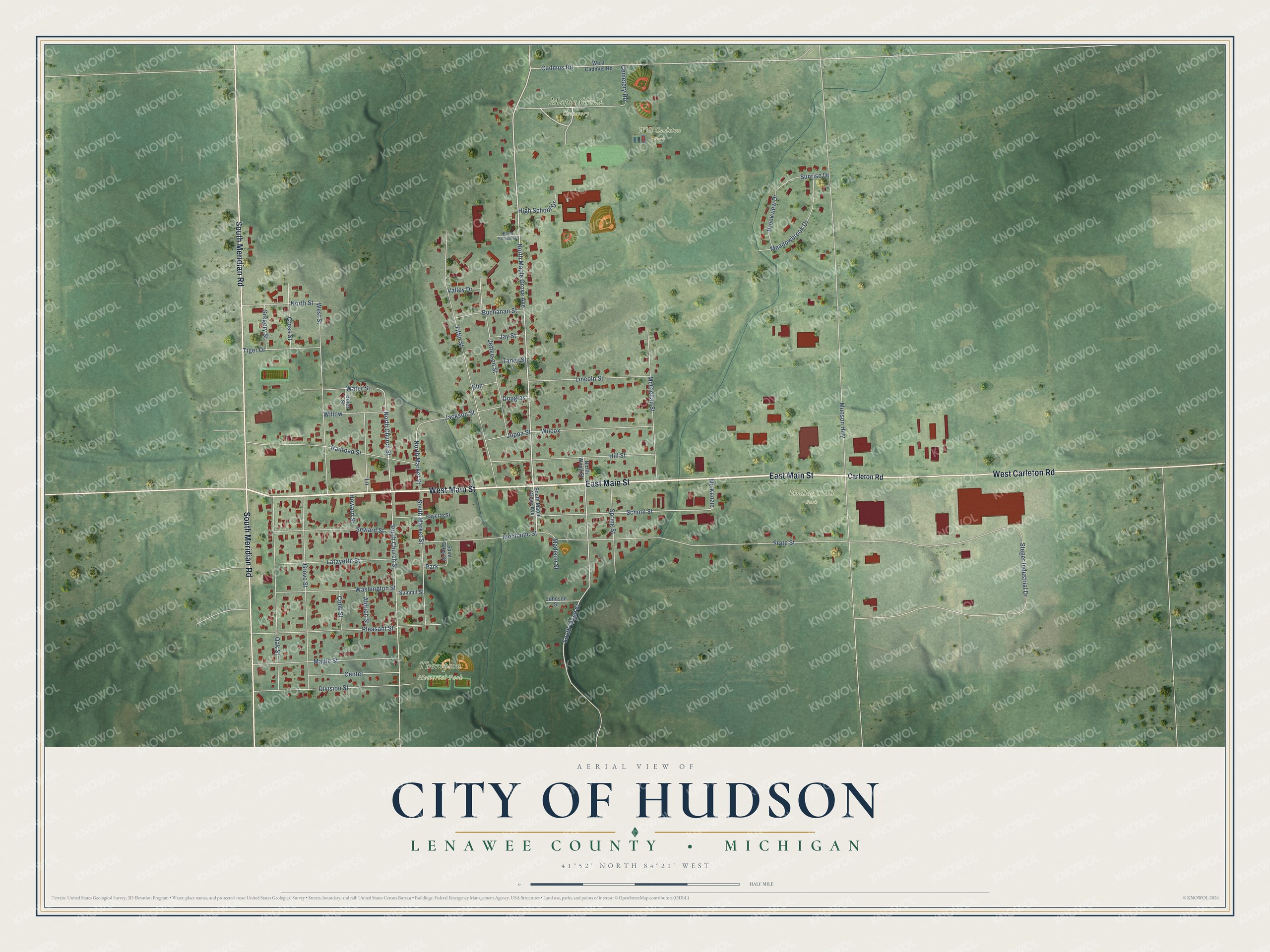
This beautifully detailed map of Hudson, Michigan was created in 2026 using aerial imagery combined with modern topographical, census, street and landmark data. It's a modern aerial view of Hudson in Lenawee County, Michigan, that combines modern data with a vintage aesthetic. The roads feature printed names, and if you look closely you can find your exact house accurately shown in its correct location.
Explore an aerial view of Hudson, Michigan
On this map you'll find Maple Grove Cemetery, Thompson Memorial Park, Will Carleton Park, Findlay Trail Park, East Main Street, West Main Street, South Meridian Road, West Carleton Road, North Maple Grove Avenue, Cemetery Road, South Church Street, North Church Street, and more. Each red shape is a building, so zoom in on the preview and look for yours.
Every town has a first chapter, and Hudson is no exception. The Memoirs of Lenawee County puts it this way: "In 1836 the settlement on the present site of Hudson was formally recognized as Lanesville, and a commission was issued by Amos Kendall, Postmaster-General of the United States, to Beriah H. Lane, as postmaster. In the course of time, however, by common consent, the village took the name given to the township by Hiram Kidder, in honor of one of the first landowners in the township."
Hudson is a city in Lenawee County. The Census Bureau counted 2,415 people here in 2020.
Take a closer look at the Hudson map
Names on this map
These names are printed on this map.
Places: Maple Grove Cemetery, Thompson Memorial Park, Will Carleton Park, Findlay Trail Park and Park.
Streets and roads: East Main Street, West Main Street, South Meridian Road, West Carleton Road, North Maple Grove Avenue, Cemetery Road, South Church Street, North Church Street, South Wood Street, School Street, North Market Street, Munson Highway.
More street names, A to Z
Aldrich Street, Boies Street, Brookview Drive, Buchanan Street, Cadmus Road, Carleton Road, Center, Cobb Street, Cross Street, Division Street, Douglas, Elem School Drive, Elm, Fayette Street, Gregory Street, Grove Street, High School Drive, Hill Street, Howard Street, Jackson Street, Jay Street, Jefferson Street, Johnson Street, Joppa Street, Lafayette Street, Lane, Lincoln Street, Madison Street, Maple Street, McClellan Street, Mc Kenzie, Meadowbrook Drive, Mechanic Street, North Street, North Wood Street, Oak Street, Pleasant Street, Railroad Street, Saint Giles Street, Seward Street, South Maple Grove Avenue, South Market Street, Spring Street, State Street, Steger Industrial Drive, Summit Street, Sunrise Drive, Taney Street, Tiffin Street, Tiger Drive, Valley Drive, Washington Street, Water Street, West Cadmus Road, West Street, Wilcox, Willow.
Created by KNOWOL in 2026. The buildings are small red shapes, the roads carry their printed names, and shaded relief shows the shape of the land. The title panel reads "AERIAL VIEW OF CITY OF HUDSON, LENAWEE COUNTY • MICHIGAN" with 41°52' NORTH 84°21' WEST.
Hang it in the hallway, the office or the cabin, or give it to someone who left Hudson and still calls it home. Open the preview and look for a street you know. See sizes and frames for the Hudson map.