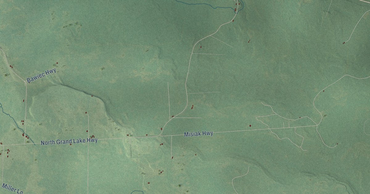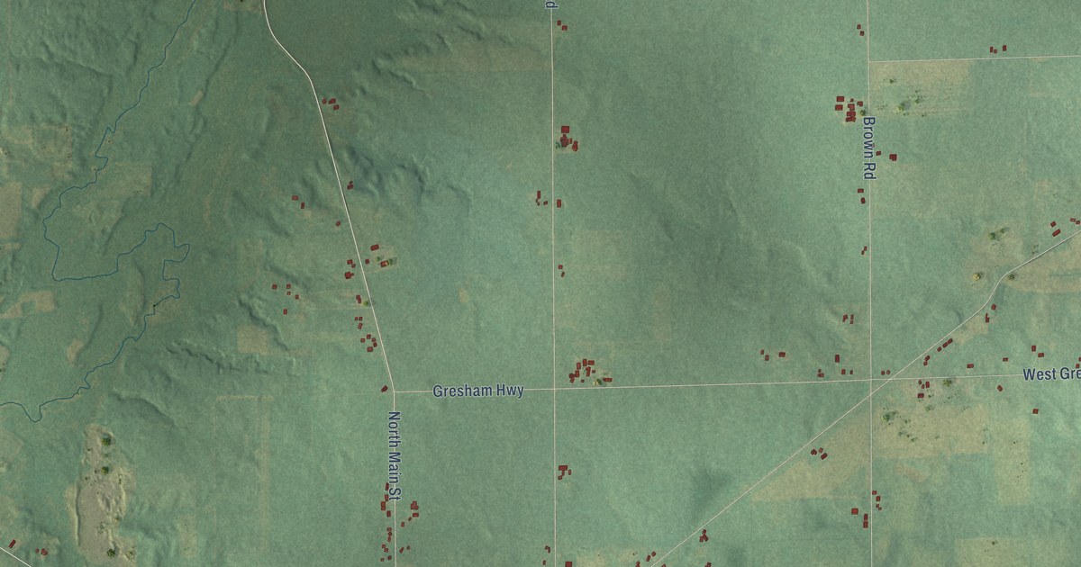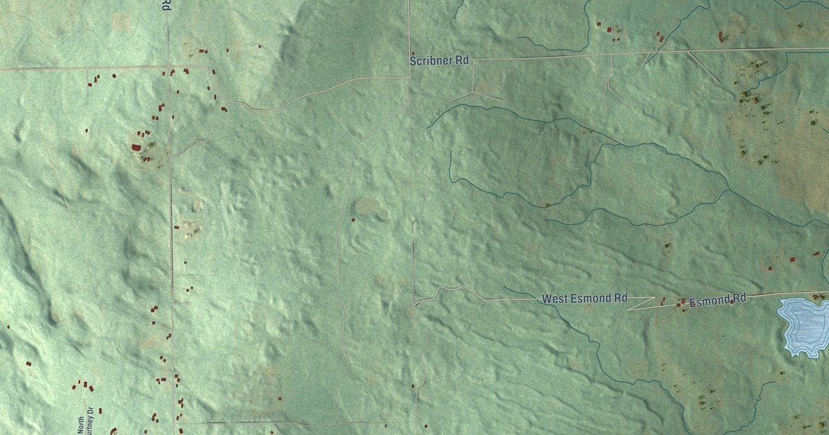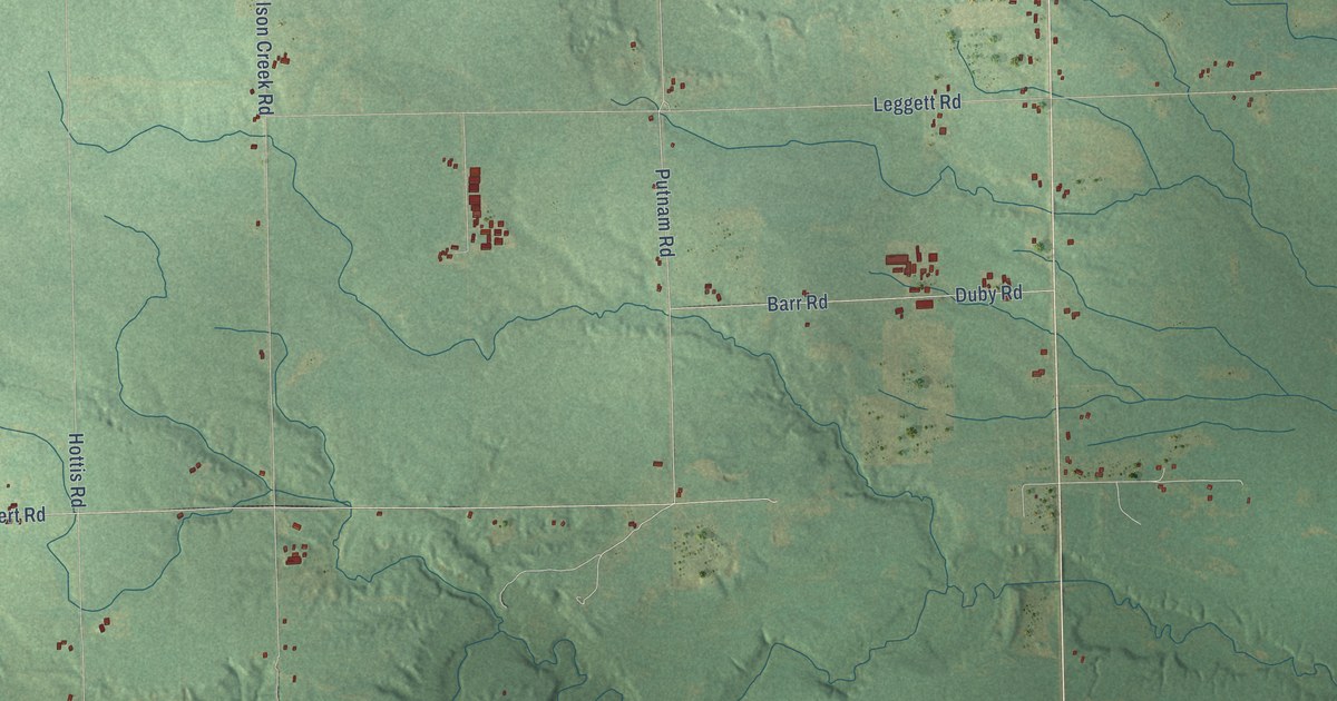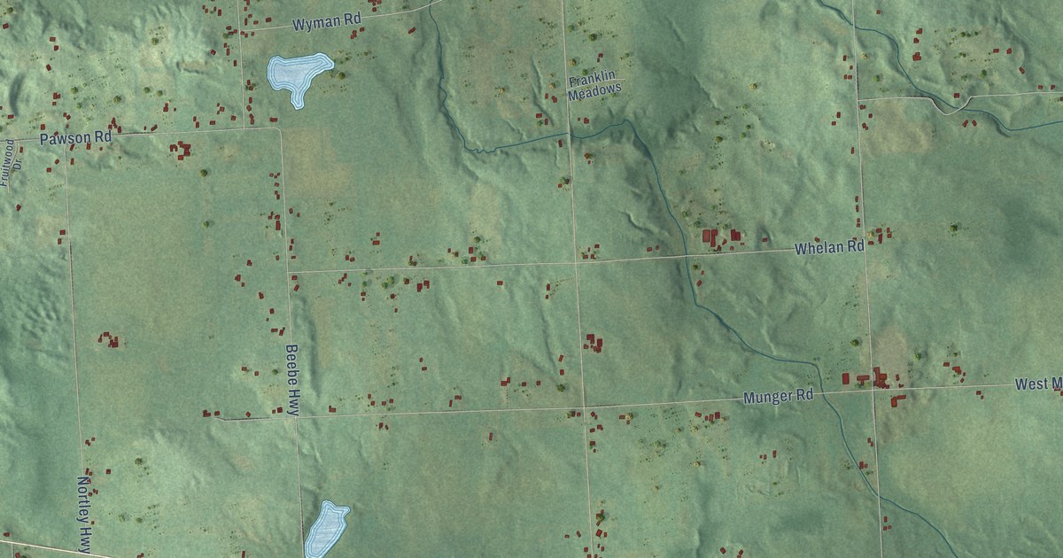
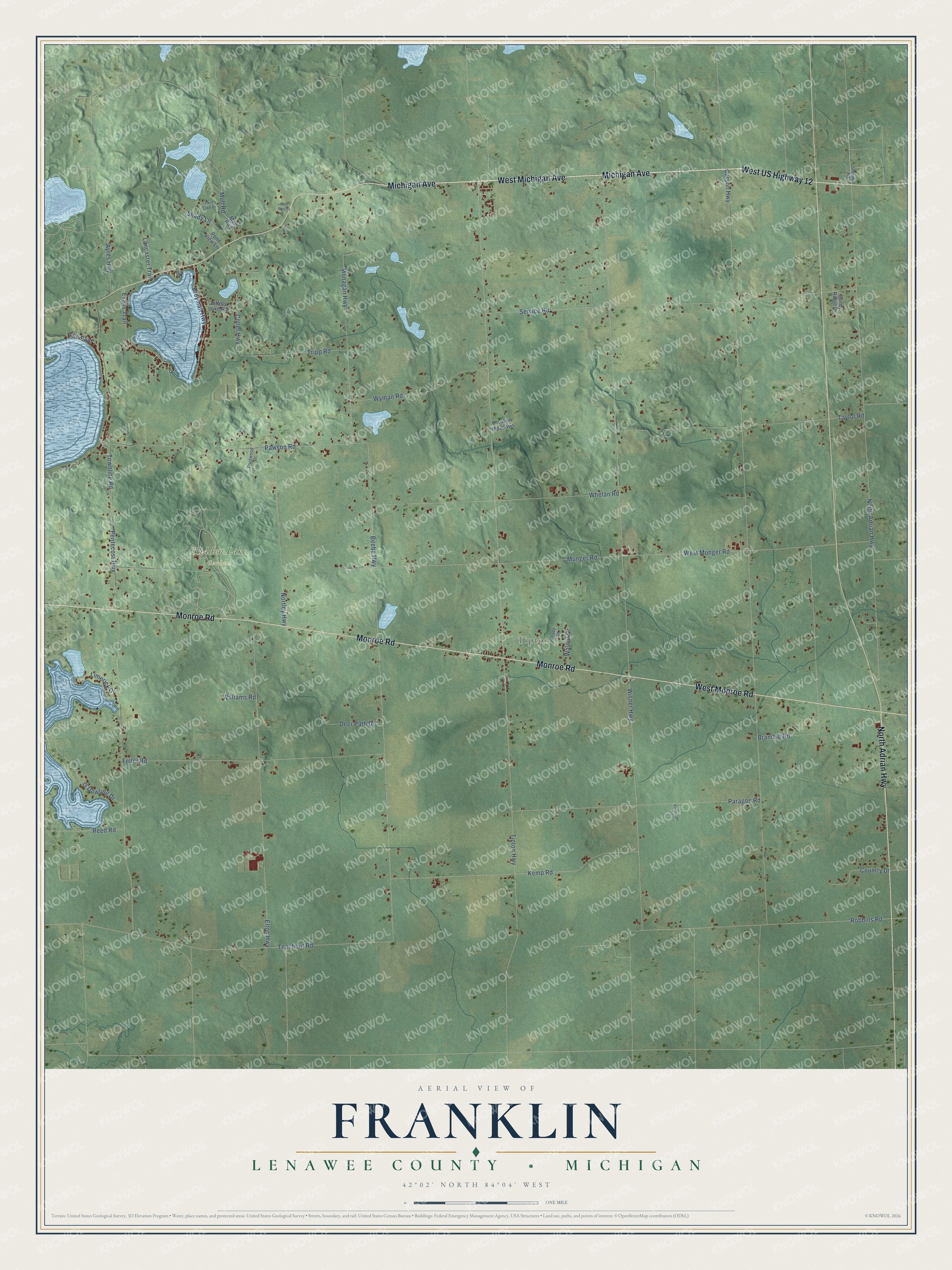
This beautifully detailed map of Franklin, Michigan was created in 2026 using aerial imagery combined with modern topographical, census, street and landmark data. It's a modern aerial view of Franklin in Lenawee County, Michigan, that combines modern data with a vintage aesthetic. The roads feature printed names, and if you look closely you can find your exact house accurately shown in its correct location.
Explore an aerial view of Franklin, Michigan
On this map you'll find Tipton, Hidden Lake Gardens, West Michigan Avenue, West US Highway 12, Michigan Avenue, North Adrian Highway, West Monroe Road, Monroe Road, Tipton Highway, Evans Trail, Coller Highway, Pentecost Highway, and more. Each red shape is a building, so zoom in on the preview and look for yours.
Here is a piece of Franklin history, in the words of the record. The record at arcgis.com puts it this way: "In 1834 Henry W. Sisson of New York settled here and built a log tavern, located on Evans Lake where the Chicago Road enters the Irish Hills."
The Census Bureau counted 3,063 people here in 2020.
Take a closer look at the Franklin map
Names on this map
These names are printed on this map.
Places: Tipton and Hidden Lake Gardens.
Streets and roads: West Michigan Avenue, West US Highway 12, Michigan Avenue, North Adrian Highway, West Monroe Road, Monroe Road, Tipton Highway, Evans Trail, Coller Highway, Pentecost Highway, Wisner Highway, Carson Highway.
More street names, A to Z
Ayres Highway, Beebe Highway, Bramble Road, Breyman Highway, Country Drive, Deer Path Drive, Deer Run Court, Elton Highway, Feller Road, Franklin Meadows, Fruitwood Drive, Jeffrey Lake Road, Kemp Road, Lancaster Trail, Lemm Lane, Limerick Drive, Monagan Highway, Mull Highway, Mull Road, Munger Road, Nortley Highway, O'Dowling Drive, Paragon Road, Partridge Lane, Pawson Road, Pond View Lane, Reed Road, Robbins Road, Sandy Ridge Drive, Service Road, Shady Drive, Shady Lane, Sheridan Road, Taylor Road, Teachout Road, The Boulevard, Townline Road, Tripp Road, Twin Lake Drive, Walnut Drive, West Munger Road, Whelan Road, Williams Road, Wyman Road.
Created by KNOWOL in 2026. The buildings are small red shapes, the roads carry their printed names, and shaded relief shows the shape of the land. The title panel reads "AERIAL VIEW OF FRANKLIN, LENAWEE COUNTY • MICHIGAN" with 42°02' NORTH 84°04' WEST.
It suits a den, a classroom or a front hall, and it makes a gift for anyone with Franklin roots. Open the preview and find the block you know. See sizes and frames for the Franklin, Lenawee County map.