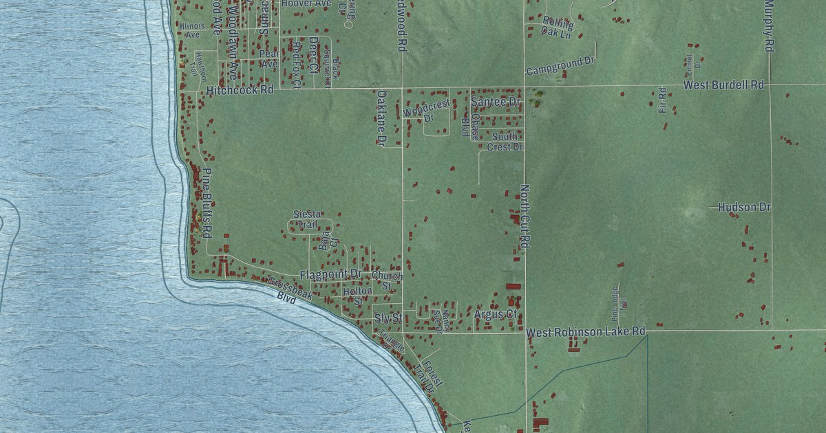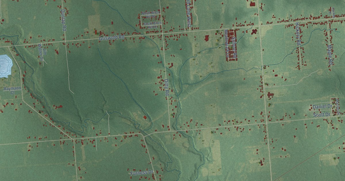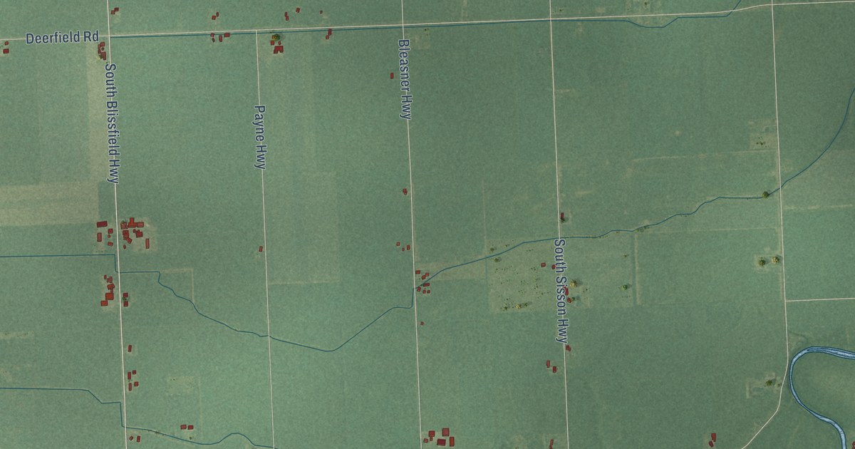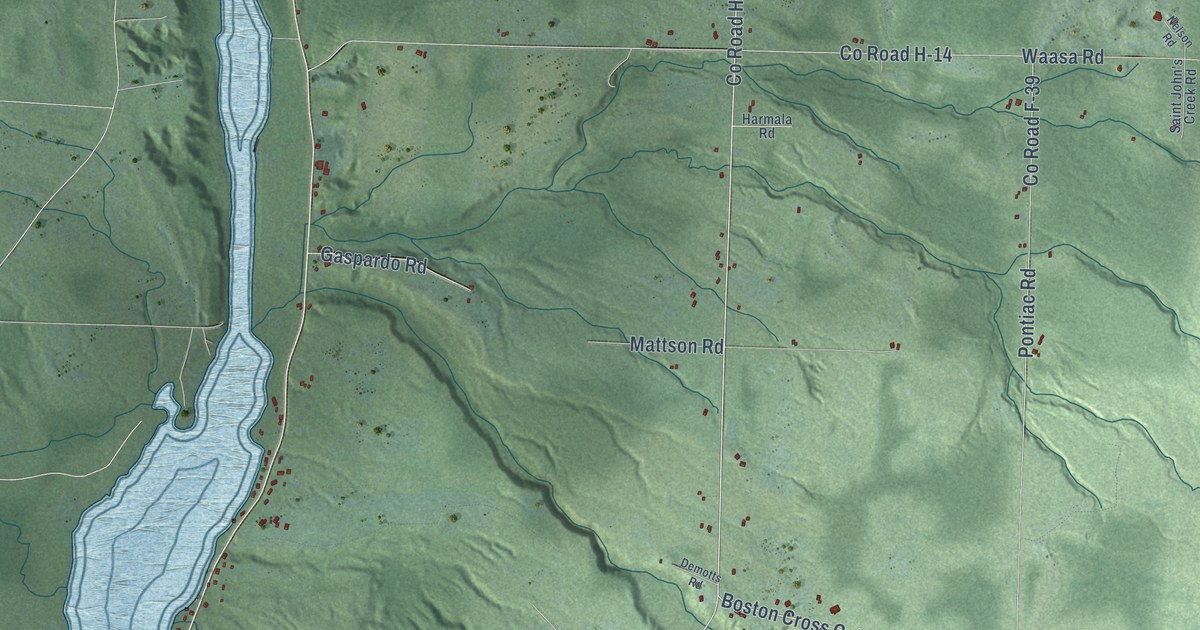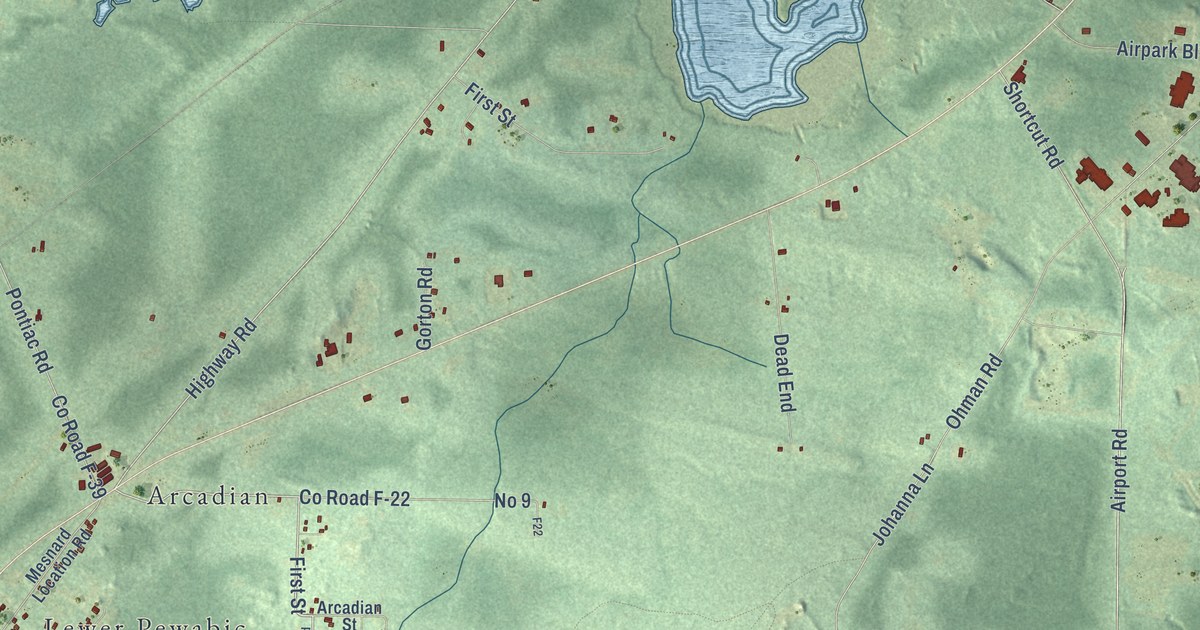
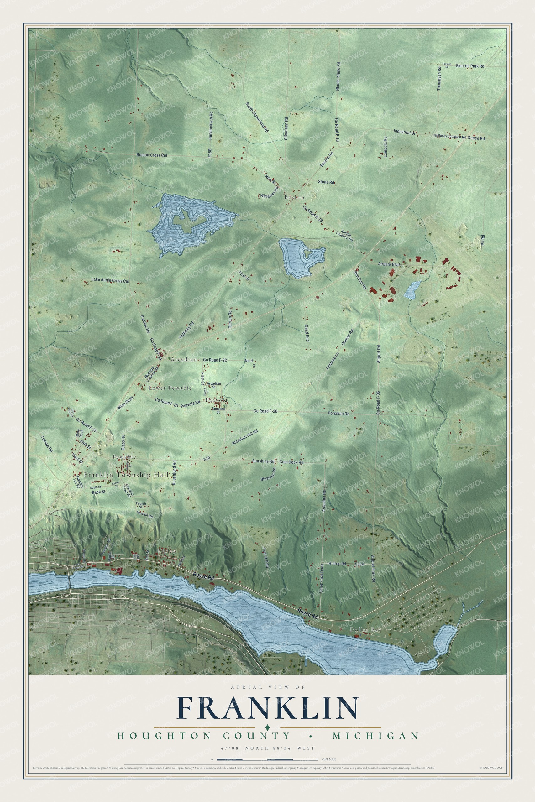
This beautifully detailed map of Franklin, Michigan was created in 2026 using aerial imagery combined with modern topographical, census, street and landmark data. It's a modern aerial view of Franklin in Houghton County, Michigan, that combines modern data with a vintage aesthetic. The roads feature printed names, and if you look closely you can find your exact house accurately shown in its correct location.
Explore an aerial view of Franklin, Michigan
On this map you'll find Franklin Township Hall, Dollar Bay, Ripley, Arcadian, Boston, Lewer Pewabic, Paavola, Pewabic, Royce Road, Highway Road, Boston Road, First Street, and more. Each red shape is a building, so zoom in on the preview and look for yours.
Franklin has a story worth telling. The record at arcgis.com puts it this way: "The Phoenix was the first real mine to begin operation, but the Cliff was the first to show a profit."
The Census Bureau counted 1,507 people here in 2020.
Take a closer look at the Franklin map
Names on this map
These names are printed on this map.
Places: Franklin Township Hall, Dollar Bay, Ripley, Arcadian, Boston, Lewer Pewabic, Paavola and Pewabic.
Streets and roads: Royce Road, Highway Road, Boston Road, First Street, New Street, Boston Cross Cut, County Road F-22, County Road F-23, Arcadian Road, County Road F-35, Airport Road, County Road F-20.
More street names, A to Z
Airpark Boulevard, Airport Park Road, Arcadian Hill Road, Arcadian Street, Back Street, Blessent Road, Boston Location Road, Burt Street, Center Street, Coal Dock Road, Concord Street, County Road F-13, County Road F-15, County Road F-39, County Road H-18, Dead End, Electric Park Road, F20, F22, Fifth Street, Forsman Road, Fourth Street, Franklin Tram Road, Glass Road, Goat Hill Road, Gorton Road, Hendrickson Road, Highway Location Road, Hilltop Road, Industrial Drive, Johanna Lane, Lake Annie Cross Cut, Lake Annie Road, Lake Front Road, Lampela Road, Maple Street, Mesnard Location Road, Military, Mine Rock, Mine Shaft, Newton Road, No 9, Ohman Road, Oikarinen Road, Oneco Road, Paavola Road, Pewabic Loc Road, Pewabic Road, Pit Road, Pontiac Road, Quincy Street, Rhode Island Road, Rosenlund Road, Second Street, Shortcut Road, Ski Hill, South Cloverland Road, South Street, Stone Road, Sunshine Road, Sutinen Road, Tecumseh Road, Third Street, Tomasi Road, Union Coal Dock, Wirtanen Road.
Created by KNOWOL in 2026. The buildings are small red shapes, the roads carry their printed names, and shaded relief shows the shape of the land. The title panel reads "AERIAL VIEW OF FRANKLIN, HOUGHTON COUNTY • MICHIGAN" with 47°08' NORTH 88°34' WEST.
It looks right in a kitchen, an office or a den, and it's a gift for anyone who grew up in Franklin or moved away. Open the preview and find your street. See sizes and frames for the Franklin, Houghton County map.