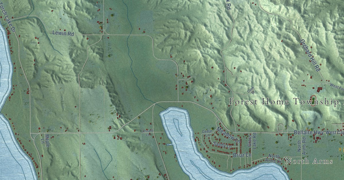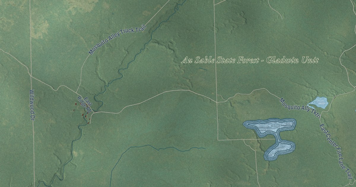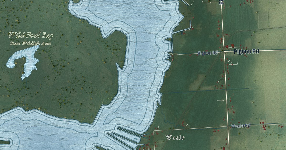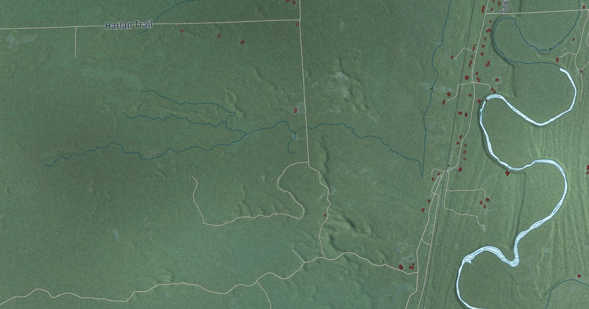
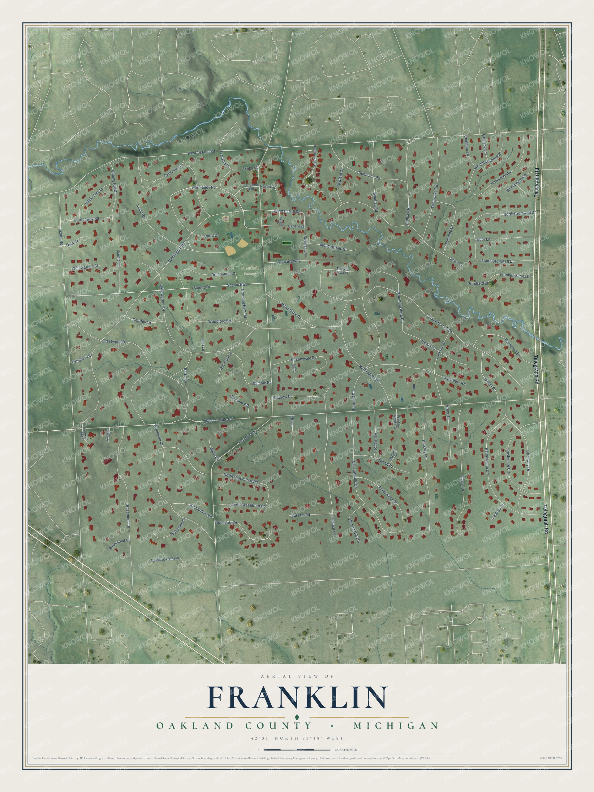
This beautifully detailed map of Franklin, Michigan was created in 2026 using aerial imagery combined with modern topographical, census, street and landmark data. It's a modern aerial view of Franklin in Oakland County, Michigan, that combines modern data with a vintage aesthetic. The roads feature printed names, and if you look closely you can find your exact house accurately shown in its correct location.
Explore an aerial view of Franklin, Michigan
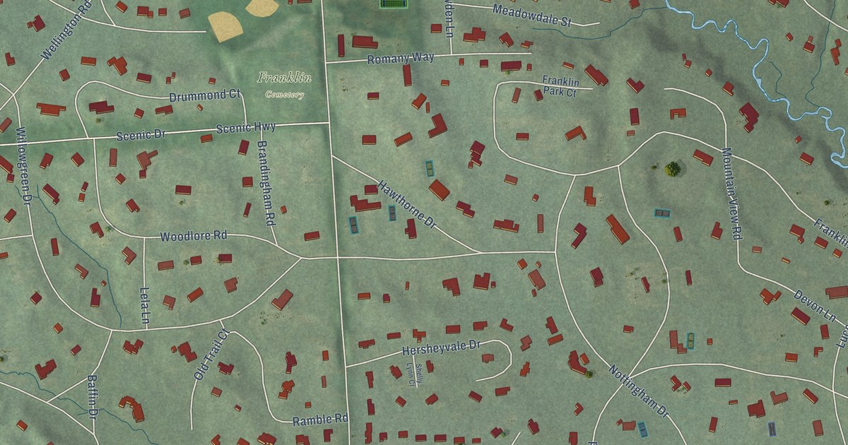
On this map you'll find Franklin Cemetery, Telegraph Road, Stonegate Drive, German Mill Road, Normandy Road, Carol Avenue, West 14 Mile Road, West 13 Mile Road, Franklin Road, Inkster Road, Wellington Road, Franklin Park Drive, and more. Each red shape is a building, so zoom in on the preview and look for yours.
Franklin has a story worth telling. The History of Oakland County puts it this way: "Dr. Ebenezer Raynale, the first physician in Southfield, came from Pennsylvania, in 1828, to the Stoughton and Bullock settlement (for at that time it had not been named Franklin), and there established himself in his profession."
Franklin is a village in Oakland County. The Census Bureau counted 3,139 people here in 2020.
Take a closer look at the Franklin map
Names on this map
These names are printed on this map.
Places: Franklin Cemetery.
Streets and roads: Telegraph Road, Stonegate Drive, German Mill Road, Normandy Road, Carol Avenue, West 14 Mile Road, West 13 Mile Road, Franklin Road, Inkster Road, Wellington Road, Franklin Park Drive, Woodside Drive.
More street names, A to Z
Adair Court, Apple Tree Lane, Baffin Drive, Balsam Road, Birchway Drive, Bloomington Drive, Bowden Lane, Brandingham Road, Briarcliff Road, Brookwood Lane, Bruce Lane, Canterbury Road, Captains Lane, Carol Drive, Charles Lane, Chatham Lane, Cheviot Hills Court, Cheviot Hills Drive, Colony Hill Drive, Crestwood Drive, Dennison Road, Devon Lane, Drummond Court, Evelyn Court, Fairgrove Court, Farmbrook Villa Drive, Forest Drive, Franklin Court, Franklin Farms Drive, Franklin Oaks, Franklin Park Court, Franklin Woods Court, Gardenway Road, Grimsby Lane, Harlincin Court, Haverford Road, Hawthorne Drive, Helmandale Drive, Hersheyvale Drive, Hickory Lane, Irving Road, Kelvin Street, Kincardine Road, Kirk Lane, La Brea Court, Lela Lane, Lucerne Drive, McKinney Drive, Meadowdale Street, Meadow Drive, Mountain View Road, North Cromwell Drive, North Greenbriar Road, Nottingham Drive, Oakleaf Lane, Old Trail Court, Ovid Court, Pondsview Drive, Pritchard Lane, Ramble Road, Ravine Drive, Redfern Street, River Drive, Riverwood Drive, Roberts Drive, Romany Way, Romsey Road, Rosemond Court, Rosemond Drive, Rushmore Circle, Scenic Drive, Scenic Highway, Scenic Lane, Shelly Lynn Court, South Cromwell Drive, South Greenbriar Road, Sunset Drive, Susanne Drive, Tudor Lane, Tweed Drive, Vincennes Avenue, West Haverford Drive, Whatley Road, Willowgreen Court, Willowgreen Drive, Wing Lake Road, Woodcrest Court, Woodlore Road, Woodside Court.
Created by KNOWOL in 2026. The buildings are small red shapes, the roads carry their printed names, and shaded relief shows the shape of the land. The title panel reads "AERIAL VIEW OF FRANKLIN, OAKLAND COUNTY • MICHIGAN" with 42°31' NORTH 83°18' WEST.
It looks right in a kitchen, an office or a den, and it's a gift for anyone who grew up in Franklin or moved away. Open the preview and find your street. See sizes and frames for the Franklin, Oakland County map.