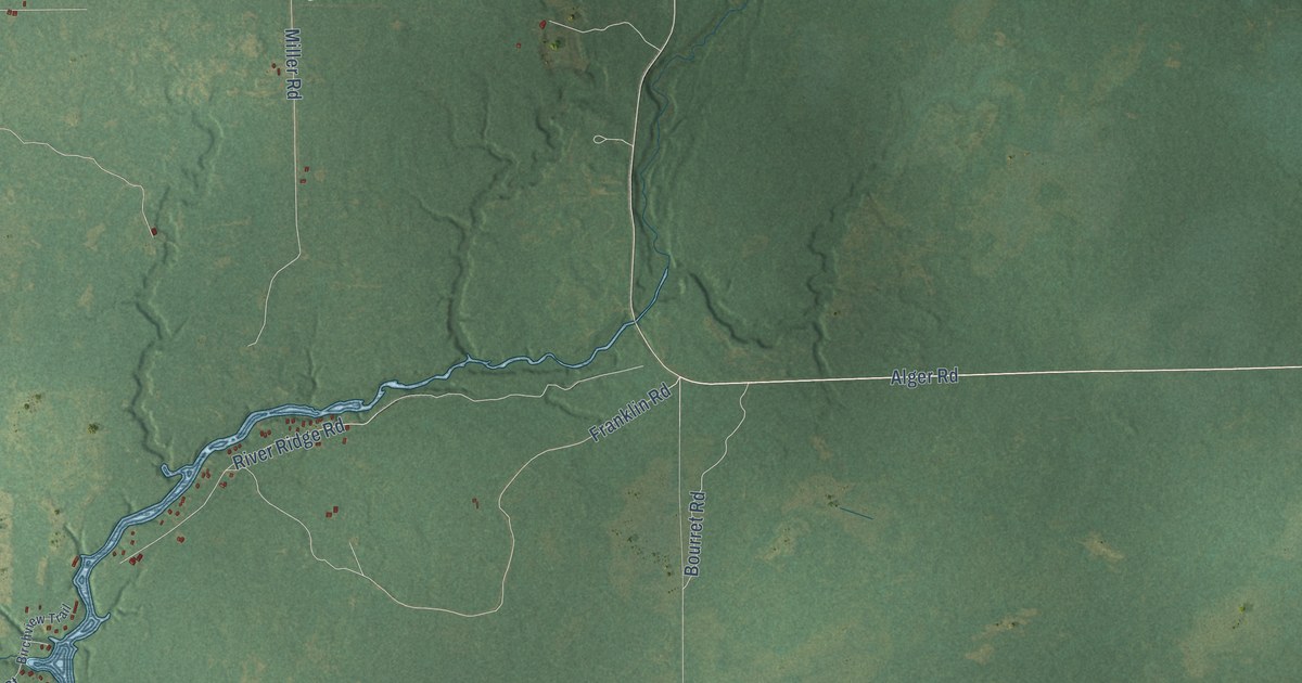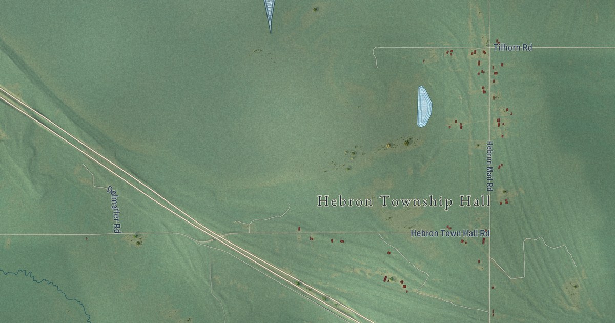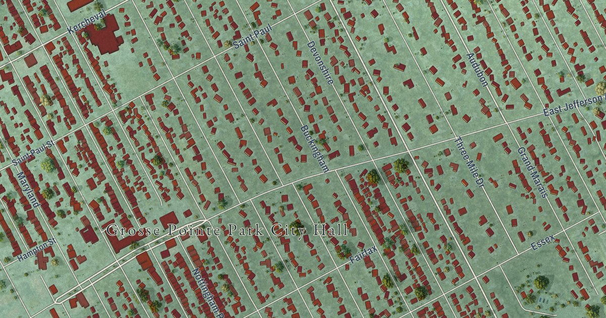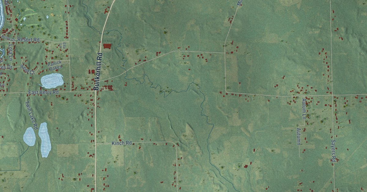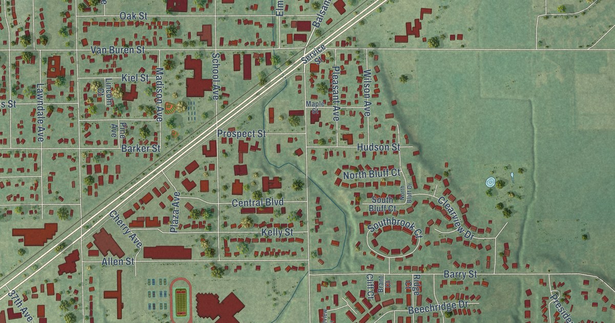
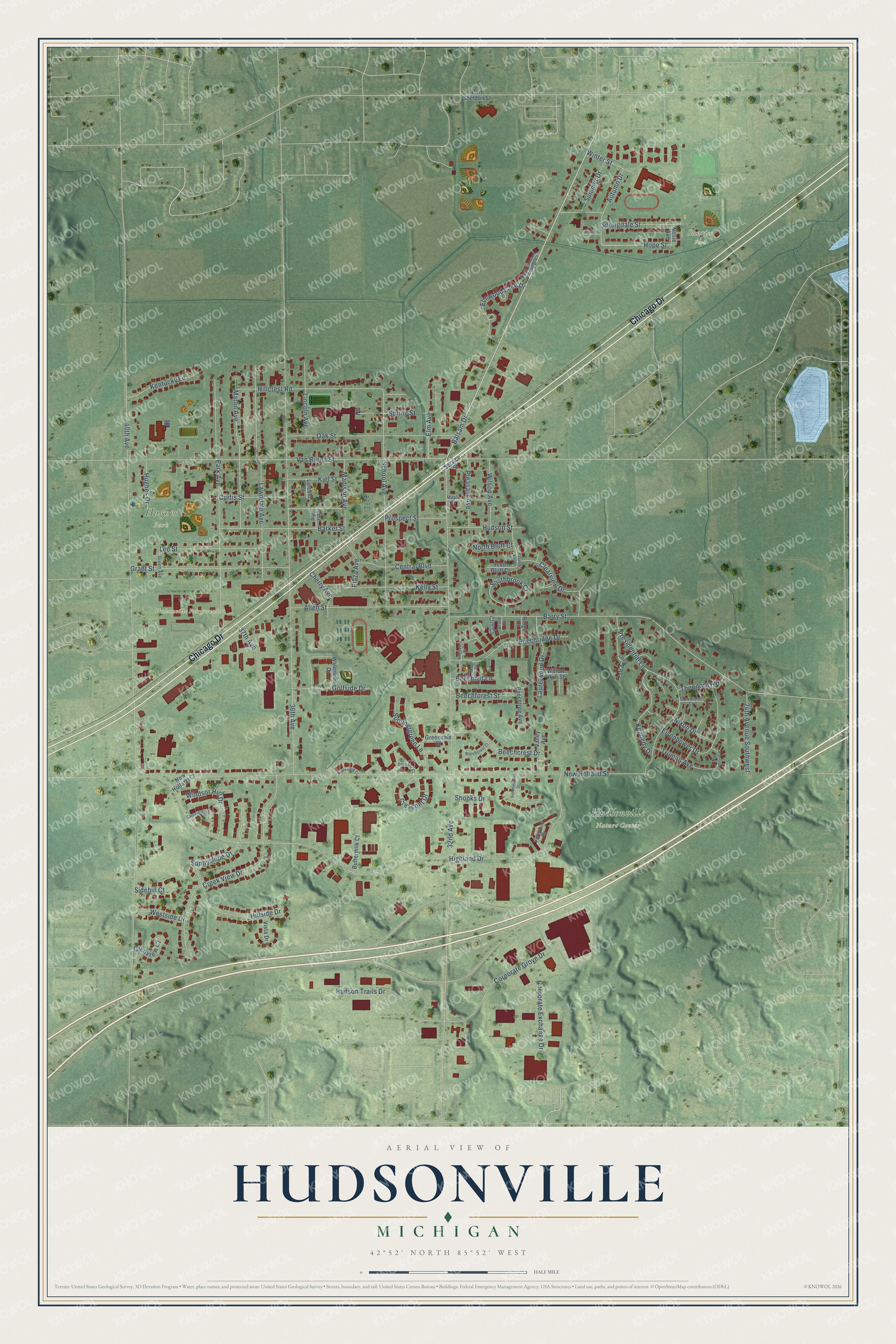
This beautifully detailed map of Hudsonville, Michigan was created in 2026 using aerial imagery combined with modern topographical, census, street and landmark data. It's a modern aerial view of Hudsonville in Ottawa County, Michigan, that combines modern data with a vintage aesthetic. The roads feature printed names, and if you look closely you can find your exact house accurately shown in its correct location.
Explore an aerial view of Hudsonville, Michigan
On this map you'll find Hudsonville Nature Center, Hudsonville Fairgrounds, Hughes Park, Sunrise Park, Chicago Drive, Balsam Drive, Hope Street, 40th Avenue, 32nd Avenue, Highland Drive, New Holland Street, 36th Avenue, and more. Each red shape is a building, so zoom in on the preview and look for yours.
Hudsonville has a story worth telling. The History of Ottawa County puts it this way: "The Baptist Church at Hudsonville effected its organization in the summer of 1866, with fourteen members, and E. H. Covey, its first pastor, who died June, 1872."
Hudsonville is a city in Ottawa County. The Census Bureau counted 7,629 people here in 2020.
Take a closer look at the Hudsonville map
Names on this map
These names are printed on this map.
Places: Hudsonville Nature Center, Hudsonville Fairgrounds, Hughes Park and Sunrise Park.
Streets and roads: Chicago Drive, Balsam Drive, Hope Street, 40th Avenue, 32nd Avenue, Highland Drive, New Holland Street, 36th Avenue, Van Buren Street, Barry Street, Park Avenue, Creek View Drive.
More street names, A to Z
24th Avenue Southwest, 37th Avenue, Allen Street, Autumn Court, Autumn Drive, Barker Street, Beech Court, Beechcrest Court, Beechcrest Drive, Beechforest Street, Beechnut Lane, Beechridge Drive, Beechtree Avenue, Brant Court, Brookview Court, Buttermilk Court, Canterbury Drive, Central Boulevard, Cherry Avenue, Clearview Drive, Cleveland Court, Cliff Court, Corporate Exchange Drive, Corporate Grove Drive, Crescent Drive, Curtis Street, Dellview Court, Eisenhower Drive, Elm Avenue, Elmwood Lake Drive, Glenview Court, Golfside Drive, Grant Street, Green Avenue, Greenvale Court, Harrison Avenue, Highbrook Circle, Hillcrest Road, Hillside Drive, Hudson Street, Hudson Trails Drive, Hughes Drive, Kelly Street, Kennedy Drive, Kentucky Lane, Kiel Street, Laurelwood Drive, Lawndale Avenue, Lee Street, Lincoln Avenue, Lincoln Court, Madison Avenue, Maple Street, Marlin Avenue, Nellie Avenue, New Holland Court, Nixon Drive, North Bluff Court, North Bluff Drive, North Elmwood Lake Drive, Oak Street, Pine Avenue, Plaza Avenue, Pleasant Avenue, Port Sheldon Street, Presidential Lane, Prospect Street, Ridge Court, Ridgeview Drive, School Avenue, Service Street, Shooks Drive, Sidehill Court, South Bluff Court, Southbrook Court, Springdale Street, Spring Street, Summercrest Drive, Summer Drive, Summergreen Lane, Sunnyslope Drive, Taft Avenue, Theodore Avenue, Truman Avenue, Valley Avenue, Vista Drive, Waterside Drive, Westside Drive, Willow Run Street, Wilson Avenue, Windsor Hill Drive, Winter Street.
Created by KNOWOL in 2026. The buildings are small red shapes, the roads carry their printed names, and shaded relief shows the shape of the land. The title panel reads "AERIAL VIEW OF HUDSONVILLE, MICHIGAN" with 42°52' NORTH 85°52' WEST.
It looks right in a kitchen, an office or a den, and it's a gift for anyone who grew up in Hudsonville or moved away. Open the preview and find your street. See sizes and frames for the Hudsonville map.