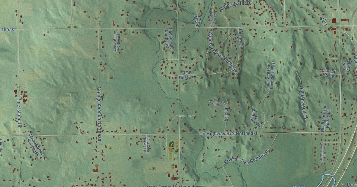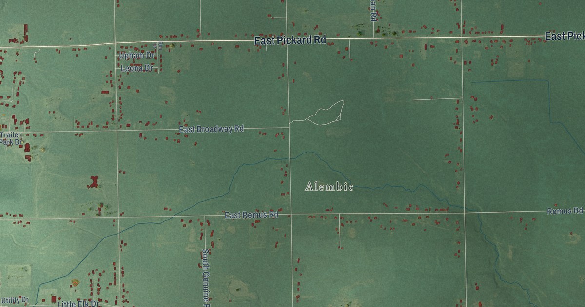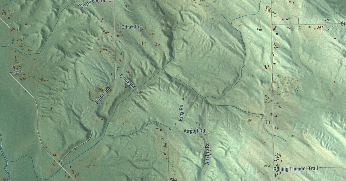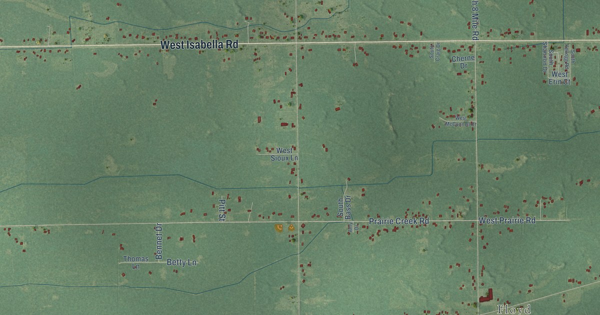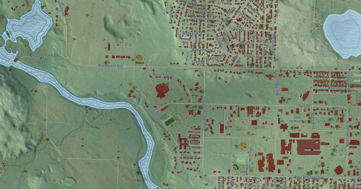
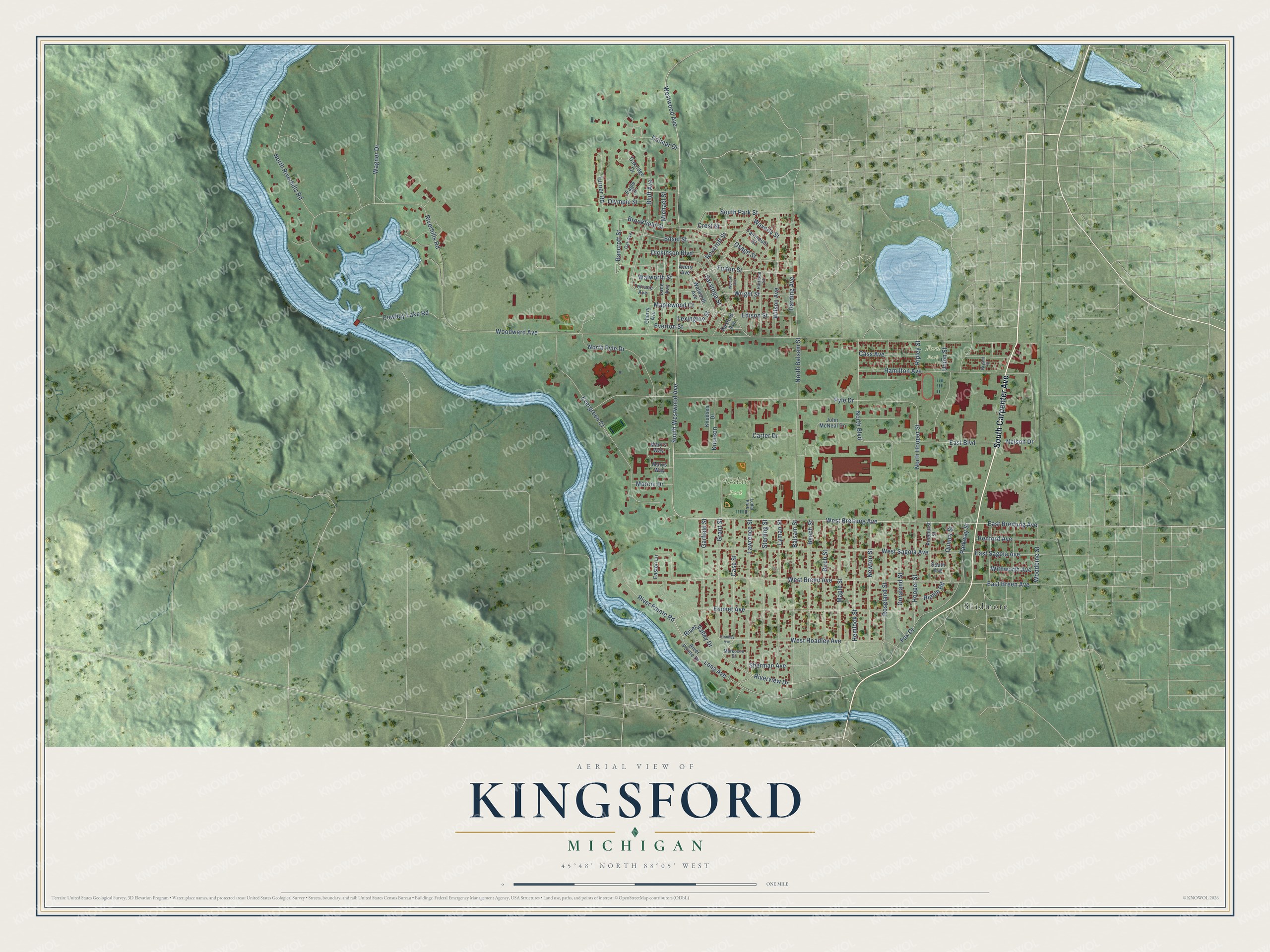
This beautifully detailed map of Kingsford, Michigan was created in 2026 using aerial imagery combined with modern topographical, census, street and landmark data. It's a modern aerial view of Kingsford in Dickinson County, Michigan, that combines modern data with a vintage aesthetic. The roads feature printed names, and if you look closely you can find your exact house accurately shown in its correct location.
Explore an aerial view of Kingsford, Michigan
On this map you'll find Lodal Park, Ford Park, Skidmore, South Carpenter Avenue, West Breitung Avenue, South Westwood Avenue, East Breitung Avenue, Fulton Street, Bancroft Street, Westwood Avenue, East Boulevard, Bluff Avenue, and more. Each red shape is a building, so zoom in on the preview and look for yours.
Kingsford is a city in Dickinson County. The Census Bureau counted 5,139 people here in 2020. The map prints the town name in its title panel, with the coordinates below it.
Take a closer look at the Kingsford map
Names on this map
These names are printed on this map.
Places: Lodal Park, Ford Park and Skidmore.
Streets and roads: South Carpenter Avenue, West Breitung Avenue, South Westwood Avenue, East Breitung Avenue, Fulton Street, Bancroft Street, Westwood Avenue, East Boulevard, Bluff Avenue, Dalmar Drive, Nelson Drive, East Breen Avenue.
More street names, A to Z
Avery Avenue, Balsam Street, Beech Street, Birch Street, Brookfield Street, Bryant Street, Carter Drive, Case Street, Cass Avenue, Cherry Avenue, Cowboy Lake Road, Crest Street, Dickinson Boulevard, Doraland Street, Eagle Drive, Easton Lane, East Sagola Avenue, Edison Street, Edsel Street, Emmet Avenue, Evergreen Court, Everton Street, Fairmount Street, Fox Drive, Garfield Street, Grant Street, Hamilton Avenue, Harding Avenue, Harrison Street, Hemlock Street, Henford Avenue, Hoadley Avenue, Hooper Street, John McNeal Drive, Knudsen Drive, Knutson, Lane Avenue, Lawrence Street, Lexington Street, Long Avenue, Lyman Street, Maple Street, Maplewood Court, Markosen Street, Mary's Way, Marys Way, Michael Street, Moroni Drive, Newton Street, North Balsam Street, North Boulevard, North Hooper Street, North Pyle Drive, North Riverhills Road, Oak Avenue, Oakridge Drive, Olympic Street, Osage Street, Parkway Street, Pinehurst Street, Pyle Drive, Quincy Street, Rexford Avenue, Riehle Road, Ripley Street, Riverhills Road, River Pointe Drive, River Pointe Road, River Valley Drive, Riverview Drive, Roseland Street, Roycroft Street, Saratoga Street, Sherman Avenue, South Avenue, South Park Street, Sterling Street, Terrace Avenue, Turner Road, Union Street, Wagner Drive, Walworth Avenue, Walworth Street, Waverly Street, West Breen Avenue, West Hoadley Avenue, West Sagola Avenue, Wilson Avenue, Withworth Avenue, Wolcott Avenue, Woodbine Street, Woodward Avenue, Wright Street.
Created by KNOWOL in 2026. The buildings are small red shapes, the roads carry their printed names, and shaded relief shows the shape of the land. The title panel reads "AERIAL VIEW OF KINGSFORD, MICHIGAN" with 45°48' NORTH 88°05' WEST.
It suits a den, a classroom or a front hall, and it makes a gift for anyone with Kingsford roots. Open the preview and find the block you know. See sizes and frames for the Kingsford map.