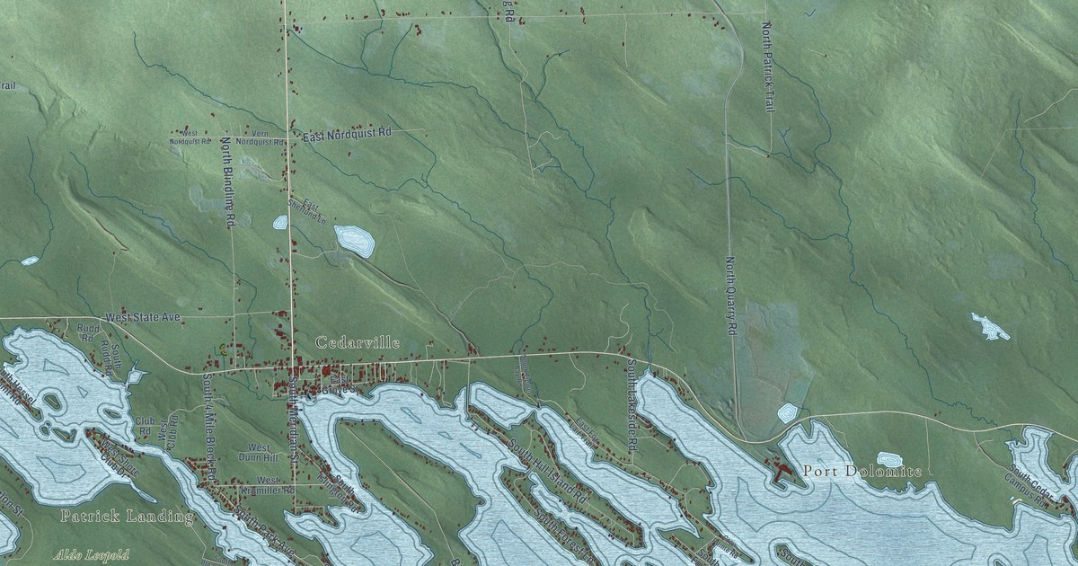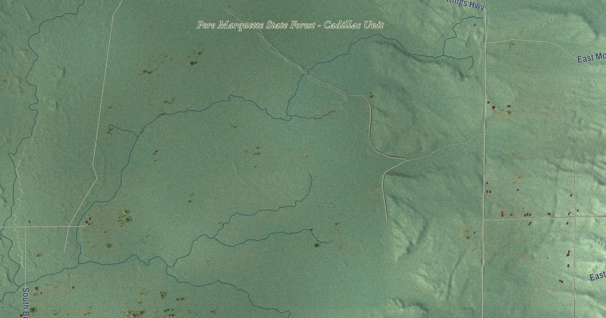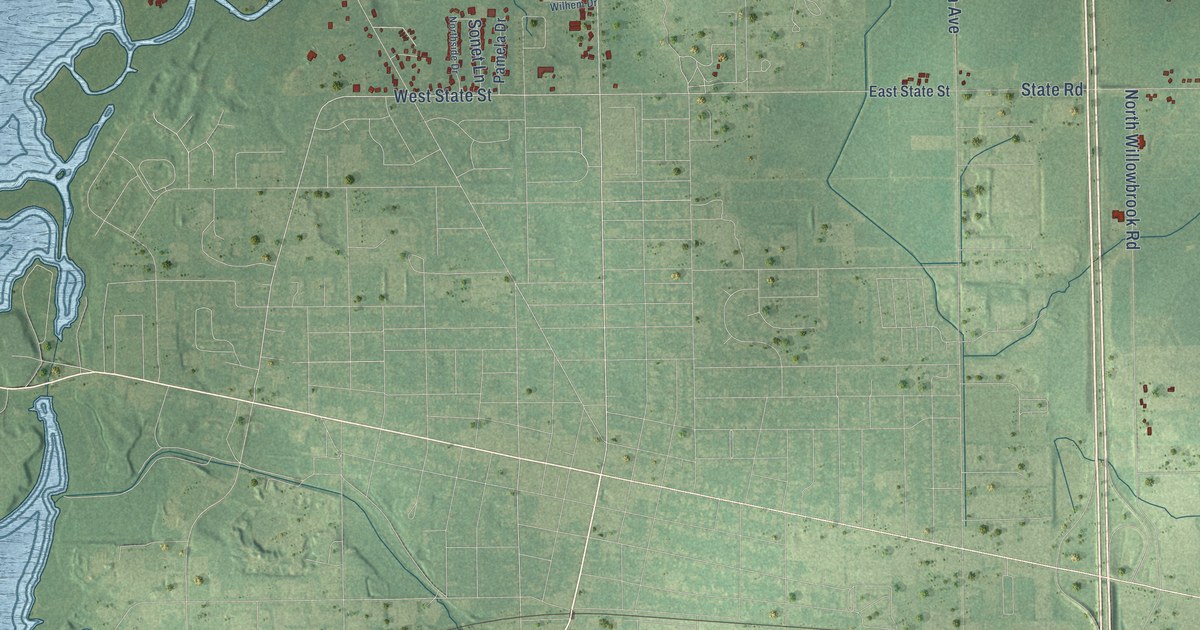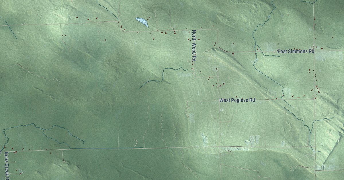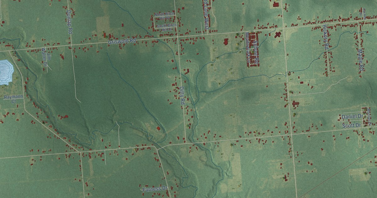
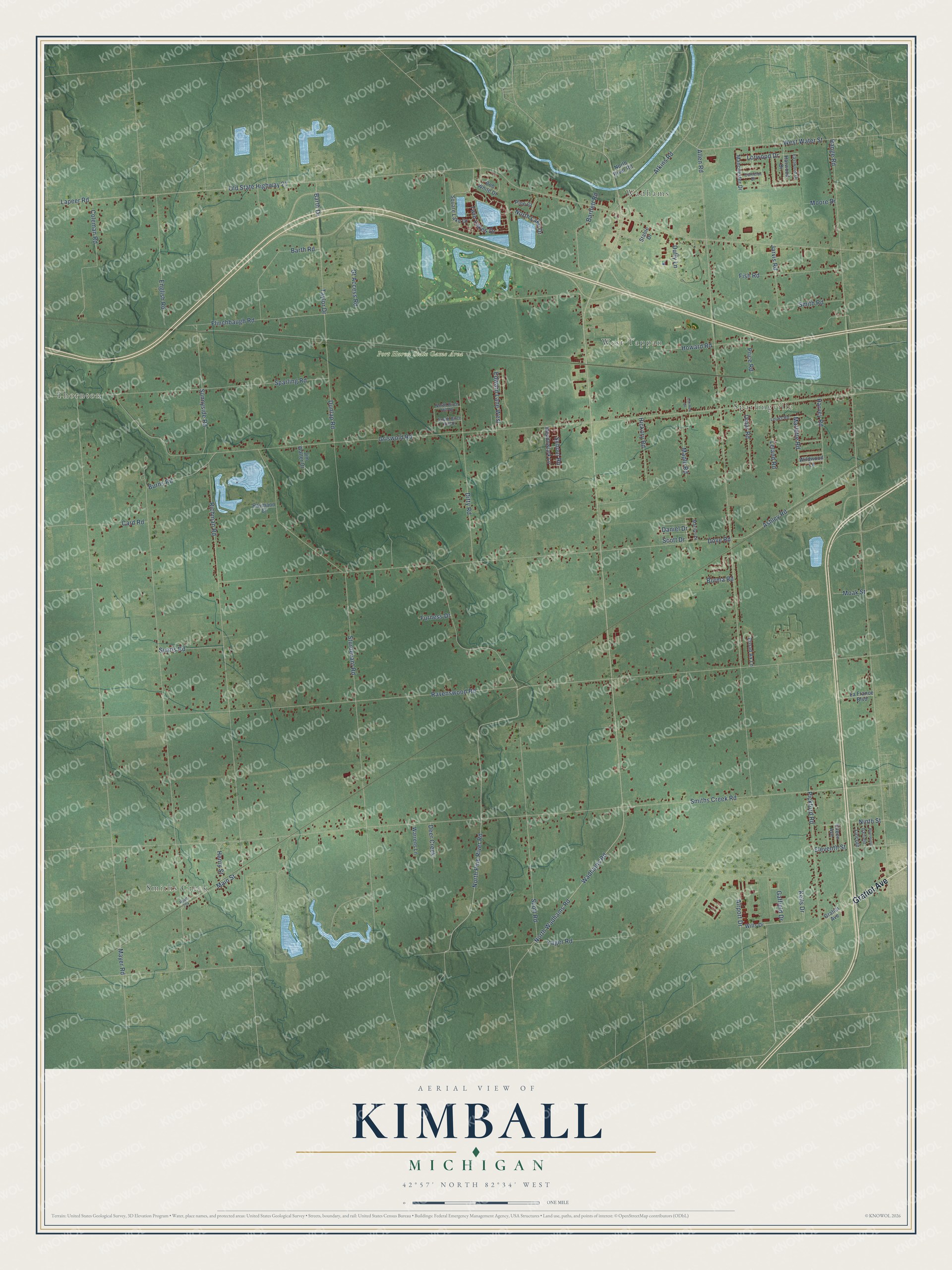
This beautifully detailed map of Kimball, Michigan was created in 2026 using aerial imagery combined with modern topographical, census, street and landmark data. It's a modern aerial view of Kimball in St. Clair County, Michigan, that combines modern data with a vintage aesthetic. The roads feature printed names, and if you look closely you can find your exact house accurately shown in its correct location.
Explore an aerial view of Kimball, Michigan
On this map you'll find Smiths Creek, Thornton, Wadhams, Sparlingville, West Tappan, Port Huron State Game Area, Gratiot Avenue, North Pine River Road, North Lake Drive, Barth Drive, Wadhams Road, North Wadhams Road, and more. Each red shape is a building, so zoom in on the preview and look for yours.
Here is a piece of Kimball history, in the words of the record. The History of St. Clair County puts it this way: "Kimball Township was organized under authority of legislative act approved February 12, 1855, when Township 6 north, of Range 16 east, was set off, and the first meeting ordered to be held at the house of John S. Kimball."
The Census Bureau counted 9,609 people here in 2020.
Take a closer look at the Kimball map
Names on this map
These names are printed on this map.
Places: Smiths Creek, Thornton, Wadhams, Sparlingville, West Tappan and Port Huron State Game Area.
Streets and roads: Gratiot Avenue, North Pine River Road, North Lake Drive, Barth Drive, Wadhams Road, North Wadhams Road, Lapeer Road, Smiths Creek Road, Griswold Road, Ravenswood Road, Range Road, Allen Road.
More street names, A to Z
Airport Drive, Ashley Road, Atkins Road, Barth Road, Bartlett Road, Bob White Drive, Broad Ax Lane, Burma Road, Burns Road, Camelot Drive, Card Road, Carmen Drive, Coleman Road, Daniel Drive, Deer Creek, Ditty Road, Dove Road, Duffy Lane, Dunlap Road, Eastwood Drive, Edward Lane West, Eileen Avenue, Eleventh Street, English Road, Fish Road, Flinchbaugh Road, Furness Drive, Gaffield Drive, Garfield, Gt Access Road, Harvey Road, Harwood Drive, Henry Street, Hickory Road, Howard Road, Jarvis Road, Jim Walter Drive, Kells Drive, La France Boulevard, Leland Road, Lincoln, Lorwood Drive, Louks Road, Main Street, Manchester Drive, Maple Road, Marilyn Drive, Marlette Road, Mayer Road, Meadowlark Lane, Moak Street, Moore Drive, Ninth Street, North Birch Hill Drive, North River Road, Old State Highway 21, Omar Road, Pickford Road, Pine Court, Price Road, Raymann Court, Richman Road, Road 704, Roosevelt, School Road, Scott Drive, Scott Road, Searls Road, Smith Road, South Birch Hill Drive, Sparling Road, Square Lake Drive, Stable Drive, Sturdevant Road, Sunnyside Road, Taylor Drive, Twin Lakes Drive, Warrens Lane, West Water Street, Wildwood Lane, Wills Drive, Yager Road.
Created by KNOWOL in 2026. The buildings are small red shapes, the roads carry their printed names, and shaded relief shows the shape of the land. The title panel reads "AERIAL VIEW OF KIMBALL, MICHIGAN" with 42°57' NORTH 82°34' WEST.
It suits a den, a classroom or a front hall, and it makes a gift for anyone with Kimball roots. Open the preview and find the block you know. See sizes and frames for the Kimball map.