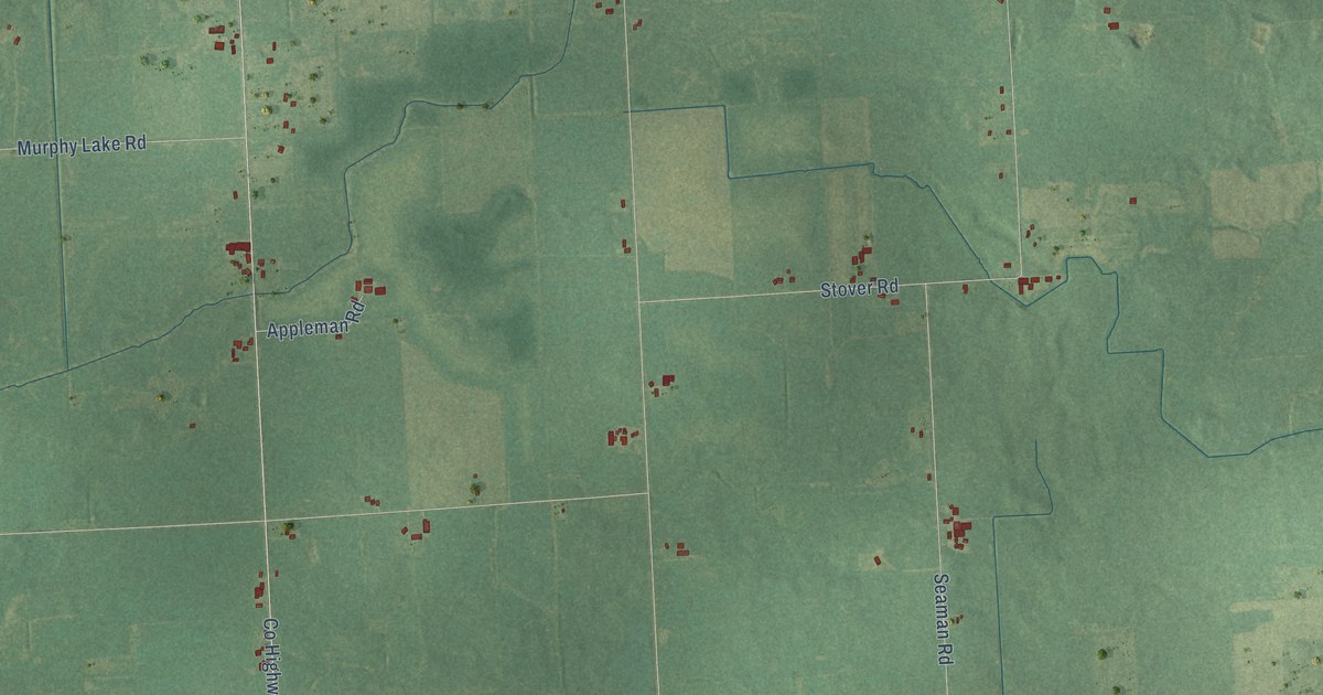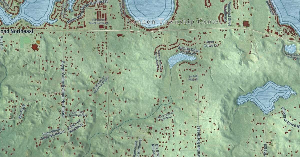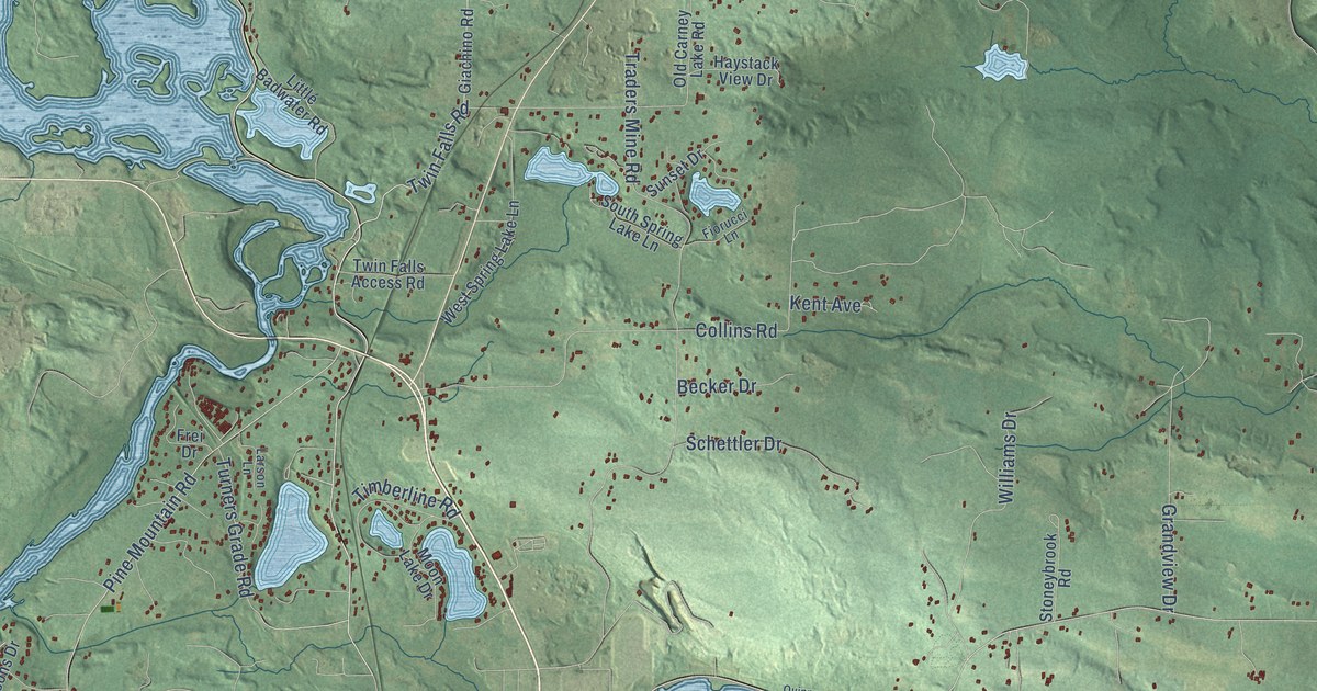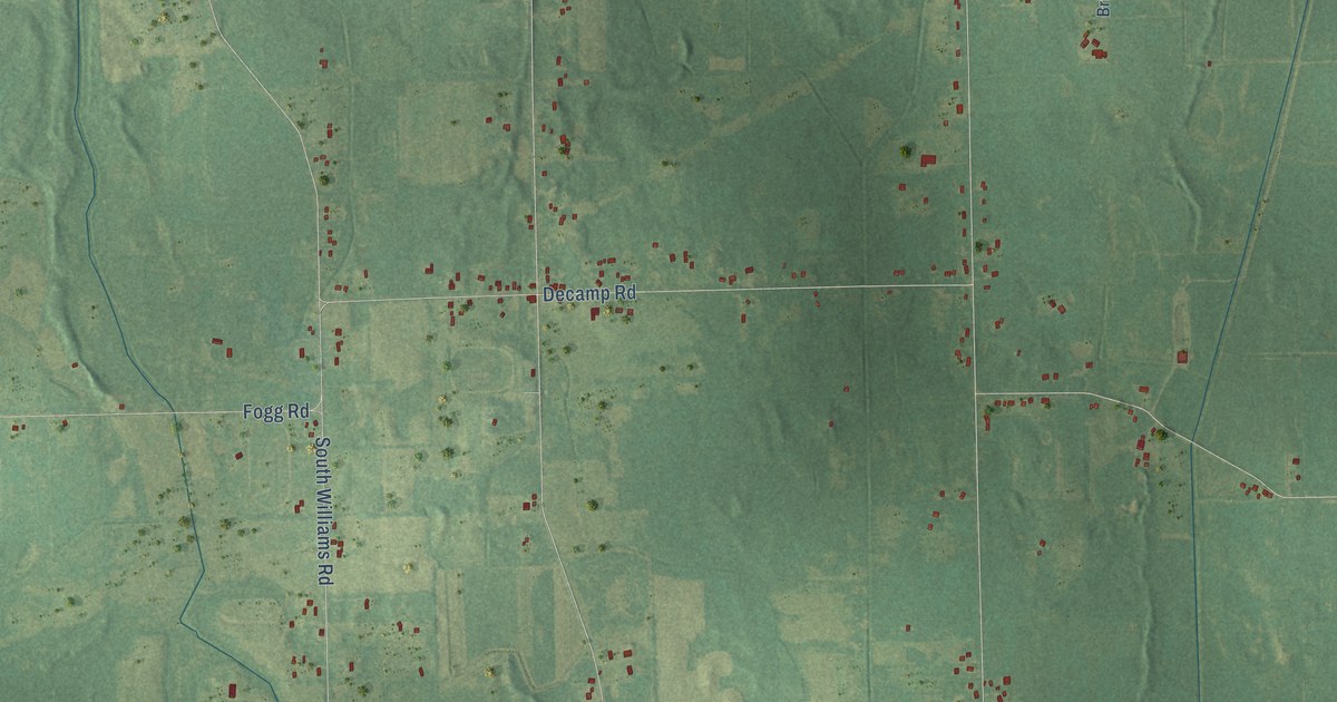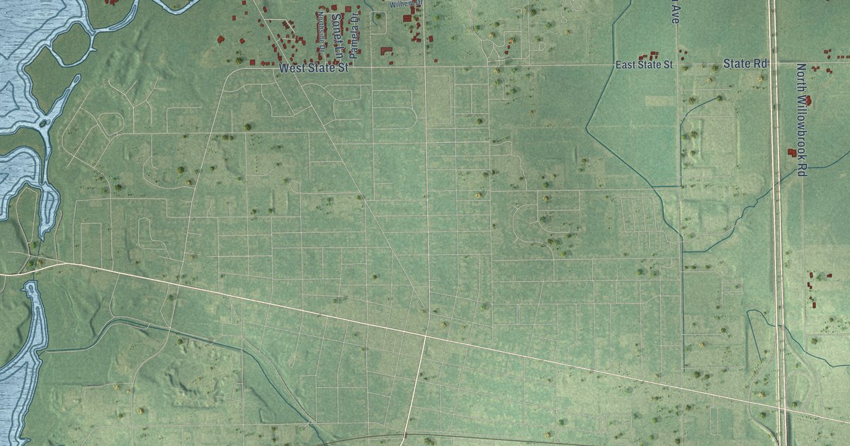
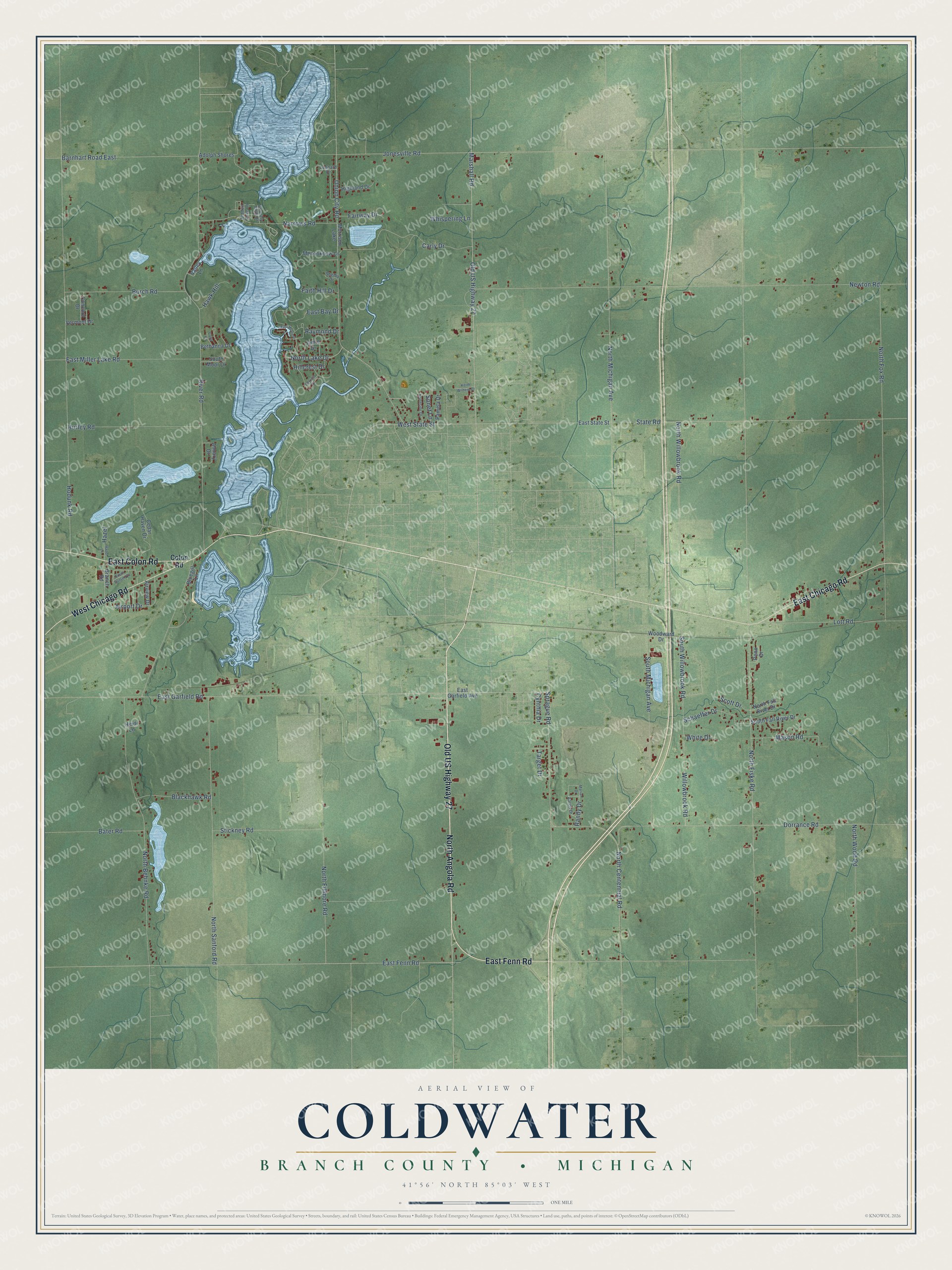
This beautifully detailed map of Coldwater, Michigan was created in 2026 using aerial imagery combined with modern topographical, census, street and landmark data. It's a modern aerial view of Coldwater in Branch County, Michigan, that combines modern data with a vintage aesthetic. The roads feature printed names, and if you look closely you can find your exact house accurately shown in its correct location.
Explore an aerial view of Coldwater, Michigan
On this map you'll find North Angola Road, Old US Highway 27, East Fenn Road, East Colon Road, West Chicago Road, East Chicago Road, West State Street, East Garfield Road, Union City Road, Willowbrook Road, South Willowbrook Road, North Fiske Road, and more. Each red shape is a building, so zoom in on the preview and look for yours.
Coldwater has a story worth telling. The Michigan History Center puts it this way: "According to a long-standing Quimby family tradition, early aviatrix Harriet Quimby was born in the Coldwater area on May 1, 1875, to Ursula (Cook) and William Quimby."
The Census Bureau counted 3,406 people here in 2020.
Take a closer look at the Coldwater map
Names on this map
These names are printed on this map.
Places: Morrison Lake.
Streets and roads: North Angola Road, Old US Highway 27, East Fenn Road, East Colon Road, West Chicago Road, East Chicago Road, West State Street, East Garfield Road, Union City Road, Willowbrook Road, South Willowbrook Road, North Fiske Road.
More street names, A to Z
Aaron Drive, Adolph Shores, Airport Drive, Airview Drive, Almary Drive, Barnhart Road East, Bater Road, Bethanna Drive, Blackhawk Road, Bluegill Lane, Branch Road, Burch Road, Carly Drive, Cedar Haven Drive, Colon Road, Concord Drive, Country Club Drive, Cutty Court, Cynthia Drive, Dorrance Road, Earl-Helen Drive, East Bay Drive, East Garfield Avenue, East Miller Lake Road, East State Street, Fairway Drive, Faith Hill Drive, Hawk Hill, Hazel, Hazel Lane, Heidi Lane, Hidden Cove Lane, Highland Drive, Hillcrest Drive, Hodunk Road, Hurley Road, Jamie Drive, Jonesville Road, Keith Wilhem Drive, Leonard Drive, Lott Road, Marian Drive, Marshall Road, Mason Road, Menookhaw Lane, Narrows Road, Newton Road, North Behnke Road, North Centennial Road, North Fall River Drive, North Fillmore Road, North Fox Road, North Lake Drive, North Michigan Avenue, North Sanford Road, Northside Drive, North Willowbrook Road, North Wood Road, Pamela Drive, Patricia Drive, Penn Drive, Randy Drive, Raymond Drive, River Road, Schaeffer Drive, Scott Drive, Shelby Drive, Sonet Lane, South Fall River Drive, South Michigan Avenue, South Moor Drive, South Sunset Drive, Sprague Road, State Road, Stickney Road, Target Drive, Valley Lane, Vermont Drive, Whispering Lane, White Drive, Woodward Drive.
Created by KNOWOL in 2026. The buildings are small red shapes, the roads carry their printed names, and shaded relief shows the shape of the land. The title panel reads "AERIAL VIEW OF COLDWATER, BRANCH COUNTY • MICHIGAN" with 41°56' NORTH 85°03' WEST.
It looks right in a kitchen, an office or a den, and it's a gift for anyone who grew up in Coldwater or moved away. Open the preview and find your street. See sizes and frames for the Coldwater, Branch County map.