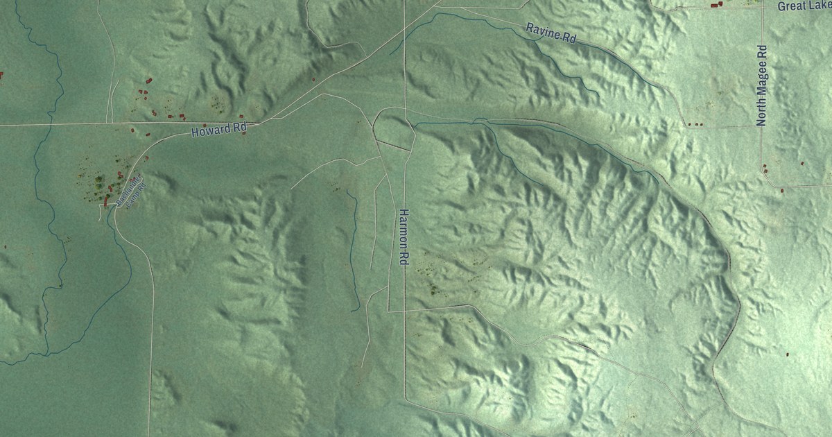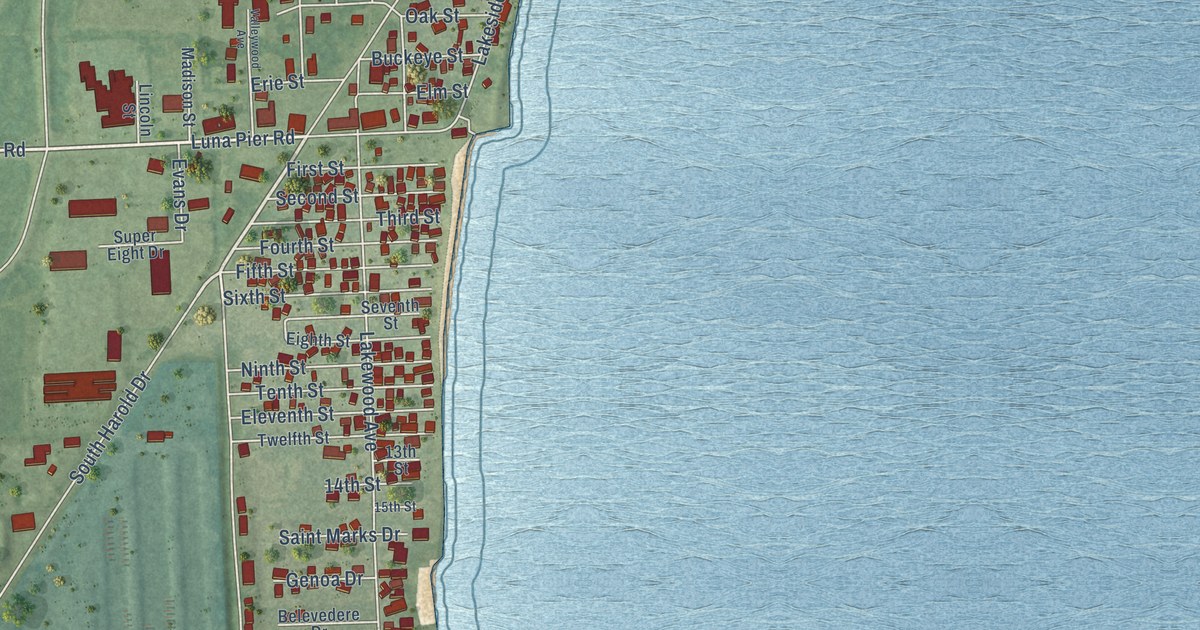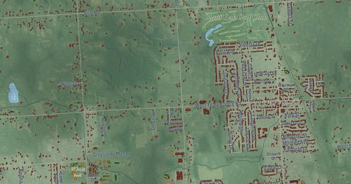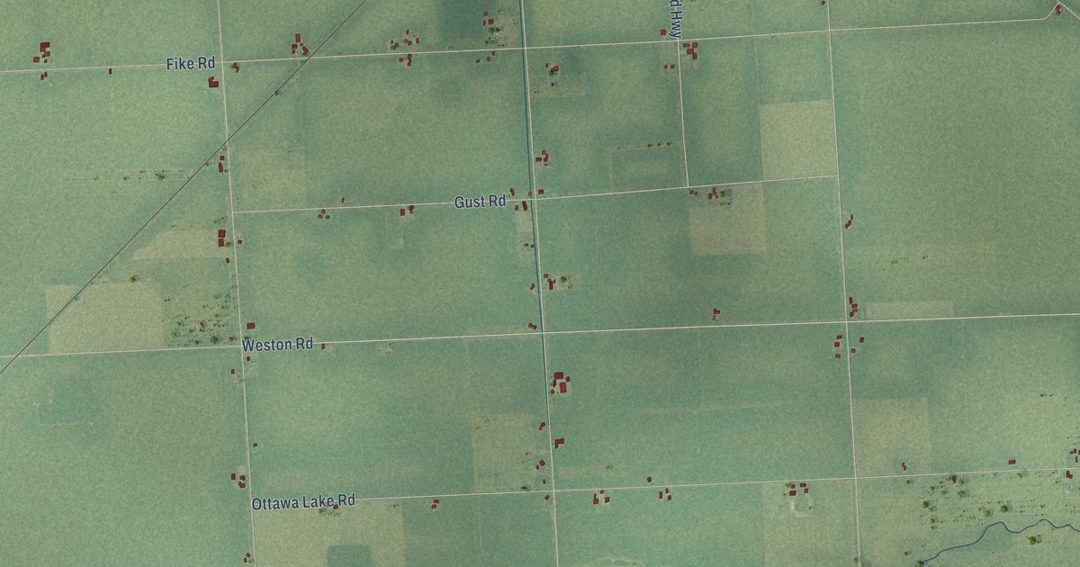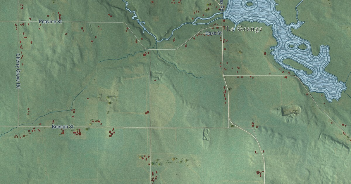
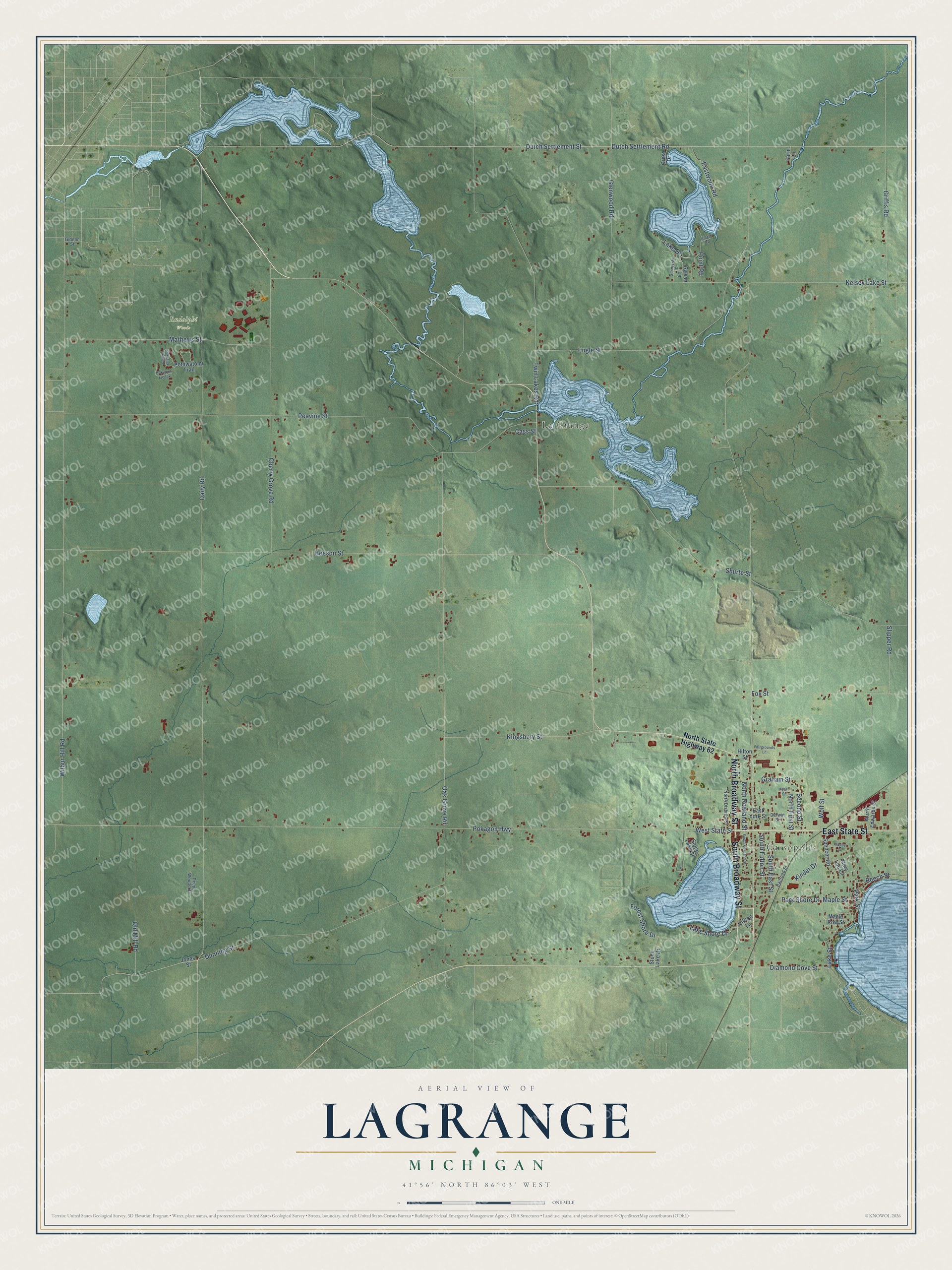
This beautifully detailed map of LaGrange, Michigan was created in 2026 using aerial imagery combined with modern topographical, census, street and landmark data. It's a modern aerial view of LaGrange in Cass County, Michigan, that combines modern data with a vintage aesthetic. The roads feature printed names, and if you look closely you can find your exact house accurately shown in its correct location.
Explore an aerial view of LaGrange, Michigan
On this map you'll find Cassopolis, Rudolphi Woods, La Grange, North Broadway Street, East State Street, South Broadway Street, South East Street, Maple Street, Lake Street, Park Shore Drive, Beech Street, Park Street, and more. Each red shape is a building, so zoom in on the preview and look for yours.
Here is a piece of LaGrange history, in the words of the record. The Twentieth Century History of Cass County puts it this way: "Among the original land entries of LaGrange township is that of Renniston and Hunt in section 6, dated in May, 1830."
The Census Bureau counted 3,787 people here in 2020.
Take a closer look at the LaGrange map
Names on this map
These names are printed on this map.
Places: Cassopolis, Rudolphi Woods and La Grange.
Streets and roads: North Broadway Street, East State Street, South Broadway Street, South East Street, Maple Street, Lake Street, Park Shore Drive, Beech Street, Park Street, West State Street, Dutch Settlement Road, Daily Road.
More street names, A to Z
Beeson Street, Cass Street, Cherry Grove Road, Crest Drive, Darwin Street, Deep Woods Drive, Diamond Cove Street, Dunning Street, Dutch Settlement Street, Eastwood Road, East York Street, Engle Street, Fairgrounds Lane, Farm Lane, Forest Shore Drive, Fox Street, Gideon Street, Glenwood Road, Graham Street, Griffis Road, Happy Drive, Hilltop Lane, Hilton Street, Jones Street, Kekyajek Ejedak, Kekyajek Odanek, Kelsey Lake Street, Kinder Drive, Kingsbury Street, Lake Drive, Lake Shore Drive, Maple Row Street, Mary Lou Lane, Mathews Street, North Disbrow Street, North Edwards Street, North First Street, North Rowland Street, North State Highway 62, Oak Grove Road, Old Mill Road, Pearl Street, Peavine Street, Point Road, Pokagon Highway, Potawatomi Trail, Railroad Street, Ridge Road, Second Street, Shurte Street, Slipper Road, South Fulton Street, South Rowland Street, Spencer Road, Stone Lake Drive, Stone Lake Street, Sunnyside Drive, Sylvan Lane, Twin Lakes Road, Wilbur Hill Road, Wolf Street.
Created by KNOWOL in 2026. The buildings are small red shapes, the roads carry their printed names, and shaded relief shows the shape of the land. The title panel reads "AERIAL VIEW OF LAGRANGE, MICHIGAN" with 41°56' NORTH 86°03' WEST.
It suits a den, a classroom or a front hall, and it makes a gift for anyone with LaGrange roots. Open the preview and find the block you know. See sizes and frames for the LaGrange map.