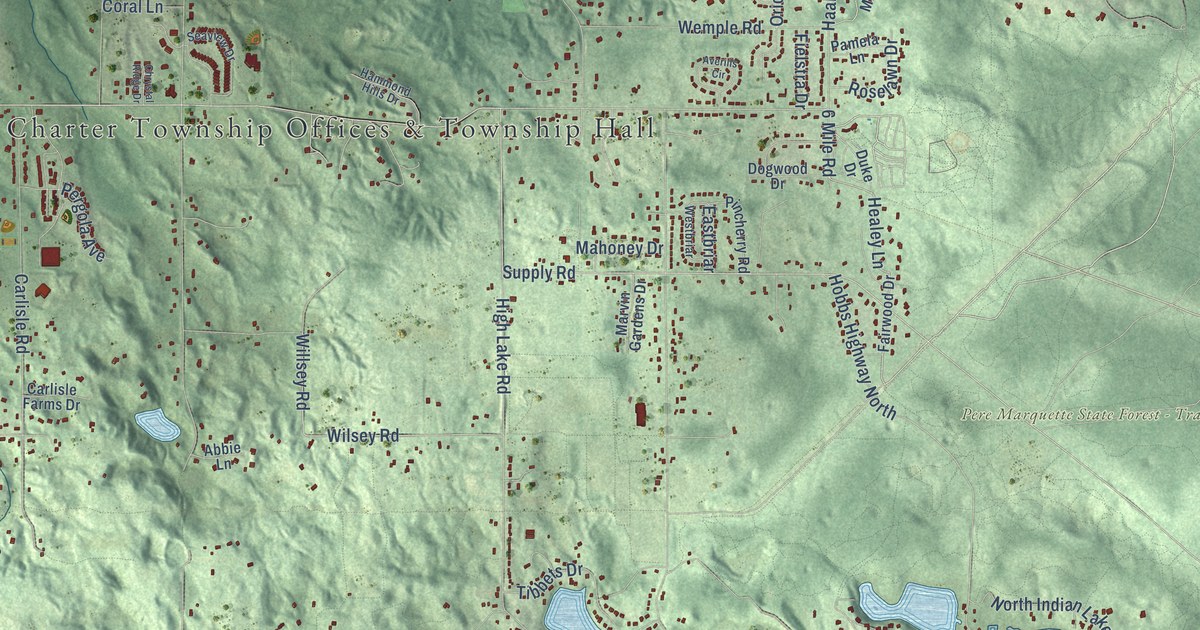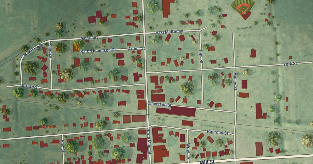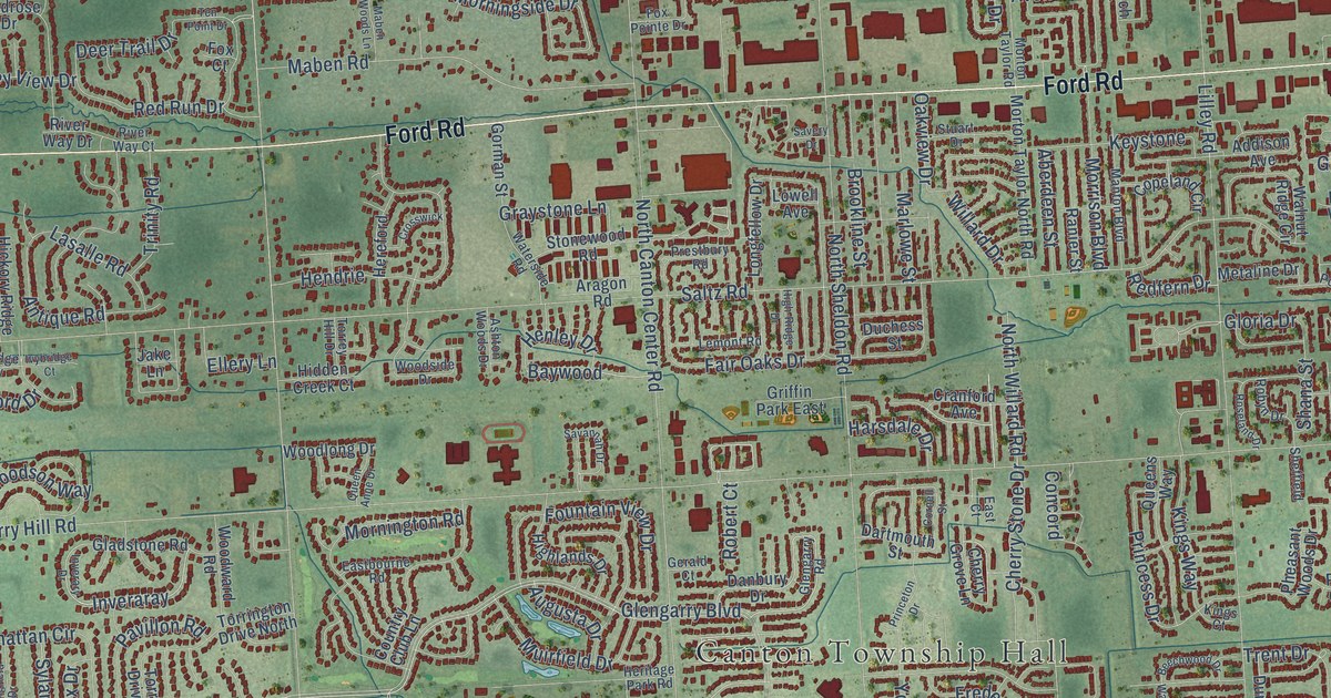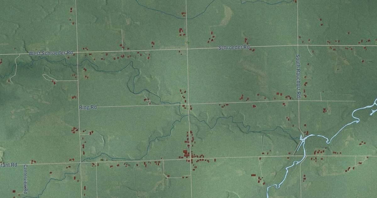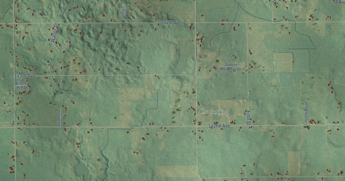
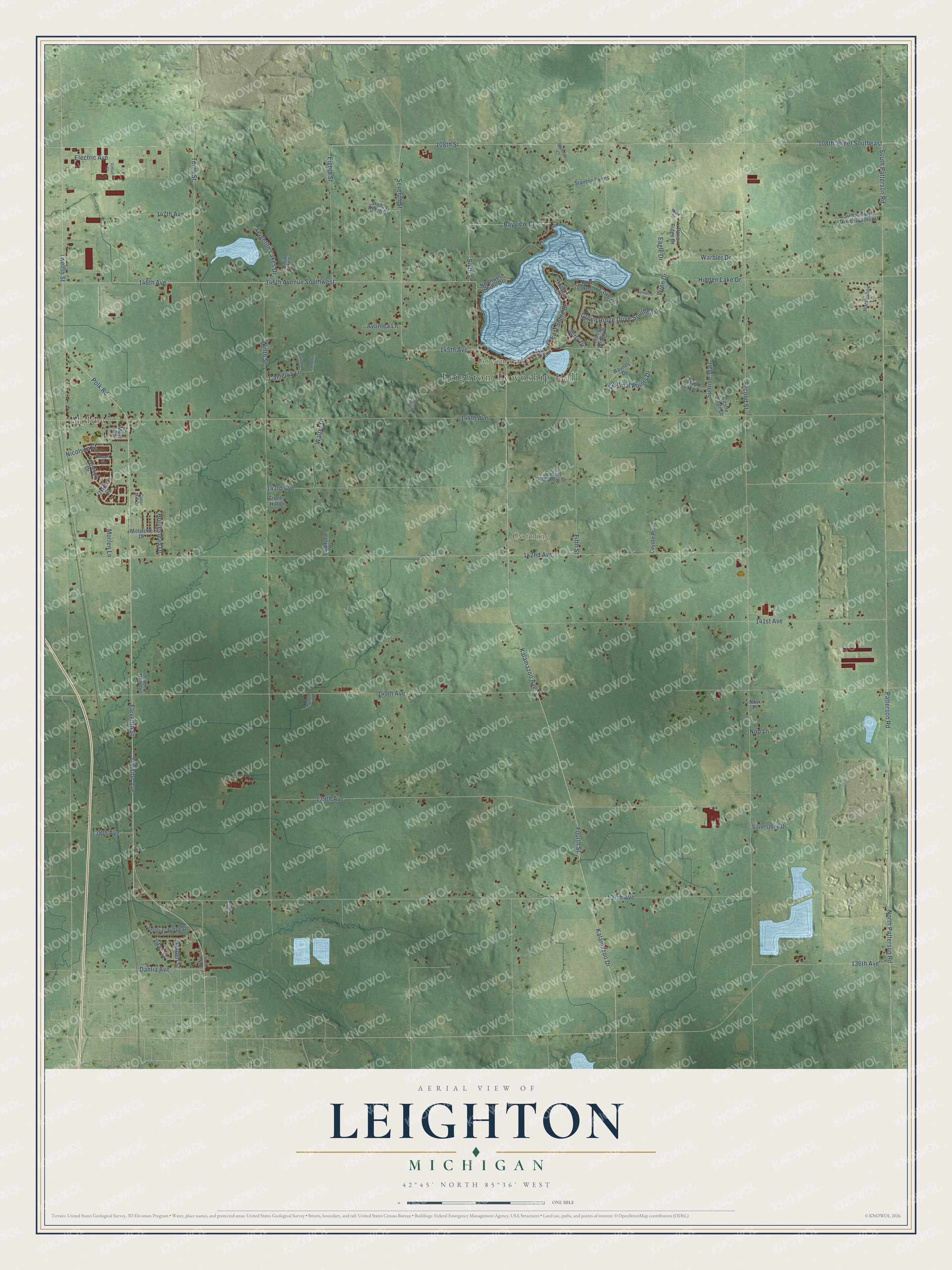
This beautifully detailed map of Leighton, Michigan was created in 2026 using aerial imagery combined with modern topographical, census, street and landmark data. It's a modern aerial view of Leighton in Allegan County, Michigan, that combines modern data with a vintage aesthetic. The roads feature printed names, and if you look closely you can find your exact house accurately shown in its correct location.
Explore an aerial view of Leighton, Michigan
On this map you'll find Leighton Township Hall, Green Lake, Corning, Moline, Division Avenue, Eleventh Street, 145th Avenue, East Shore Drive, Seventh Street, Kalamazoo Drive, Kalamazoo Avenue, Wren Drive, and more. Each red shape is a building, so zoom in on the preview and look for yours.
Here is a piece of Leighton history, in the words of the record. The History of Allegan and Barry Counties puts it this way: "The electors of the territory thus organized as the township of Leighton assembled at the Green Lake school-house on Monday, April 3, 1848, for the purpose of electing township officers. Thereupon, John Goodspeed was chosen moderator, Samuel B. Hooker clerk, John Woodward and Levi S. Bagnell inspectors of election."
The Census Bureau counted 7,001 people here in 2020.
Take a closer look at the Leighton map
Names on this map
These names are printed on this map.
Places: Leighton Township Hall, Green Lake, Corning and Moline.
Streets and roads: Division Avenue, Eleventh Street, 145th Avenue, East Shore Drive, Seventh Street, Kalamazoo Drive, Kalamazoo Avenue, Wren Drive, Green Ridge Drive Southeast, 108th Street, 146th Avenue, Warbler Drive.
More street names, A to Z
108th Street Southeast, 136th Avenue, 137th Avenue, 138th Avenue, 139th Avenue, 140th Avenue, 141st Avenue, 142nd Avenue, 143rd Avenue, 144th Avenue, 146th Avenue Southwest, 147th Avenue, Avonlea Lane, Bayview Court, Calkins Court, Camellia Court, Camellia Lane, Cardinal Points Drive, Castle Ridge Drive, Chicory Court, Cider Mill Drive, Circuit Court, Cove Drive, Coyote Point, Dahlia Avenue, Eagle Drive, Eighth Street, Electric Avenue, Fifth Street, Fourth Street, Garden Street, Hidden Lake Drive, Hidden Meadows, Hilltop Court, Homestead Drive, Horseshoe Lane, Indian Lake Court, Leighton Lakes Drive, Lilac Street, Maple Lake Drive, Mary Street, Miller Drive, Millstone Drive, Morren Lane, Nicolson Street, Ninth Street, Nop Lane, North Lake Drive, North Main Street, North Patterson Road, Northwest Shore Drive, Novi Place, Nuthatch Court, Oxford Street, Paris Ridge Drive, Patterson Road, Polk Road, Raynes Drive, Rolling Ridge Drive, Russell Street, Second Street, Serenity Ridge Drive, Serry Drive, Silverstone Drive, Sixth Street, South Patterson Road, South Shore Drive, Stanton Court, Stanton Farms, Stoney Hill Drive, Stoney Ridge Court, Summerwyn Drive Southeast, Summit Point, Sunrise Trail, Sunset Meadow Drive, Sunset Vw, Swansea Drive, Tavistock Drive, Tenth Street, Twelfth Street, Walter Drive.
Created by KNOWOL in 2026. The buildings are small red shapes, the roads carry their printed names, and shaded relief shows the shape of the land. The title panel reads "AERIAL VIEW OF LEIGHTON, MICHIGAN" with 42°45' NORTH 85°36' WEST.
It suits a den, a classroom or a front hall, and it makes a gift for anyone with Leighton roots. Open the preview and find the block you know. See sizes and frames for the Leighton map.