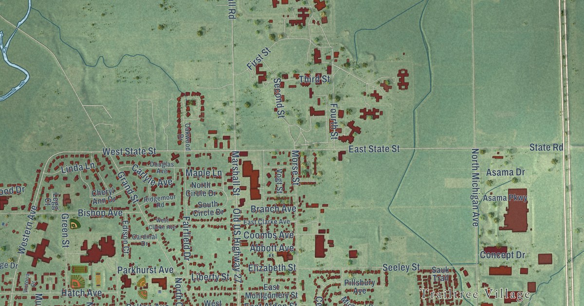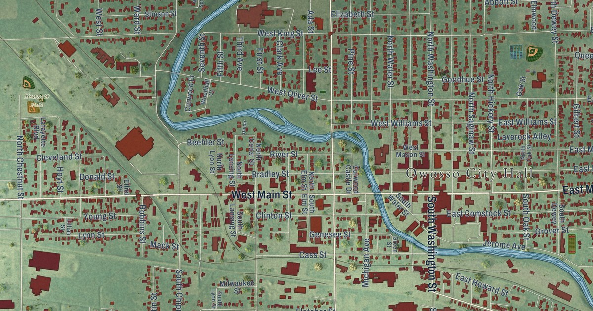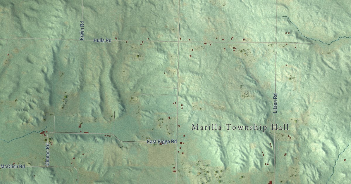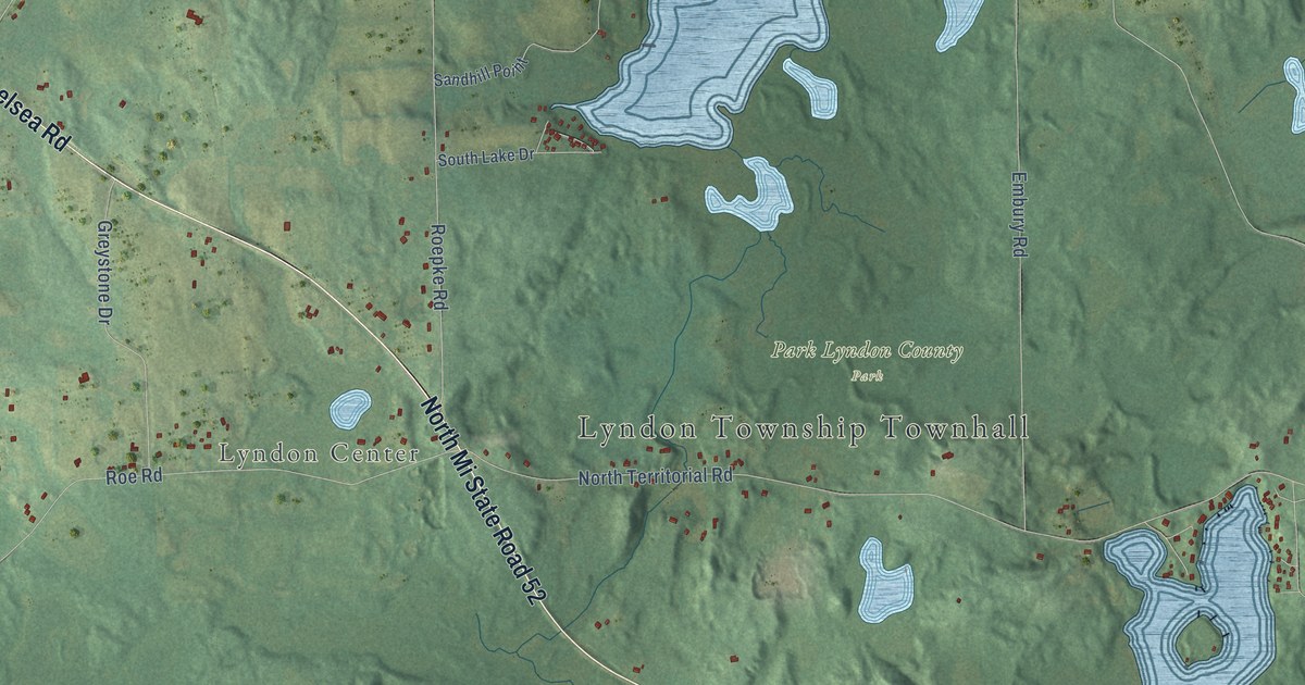
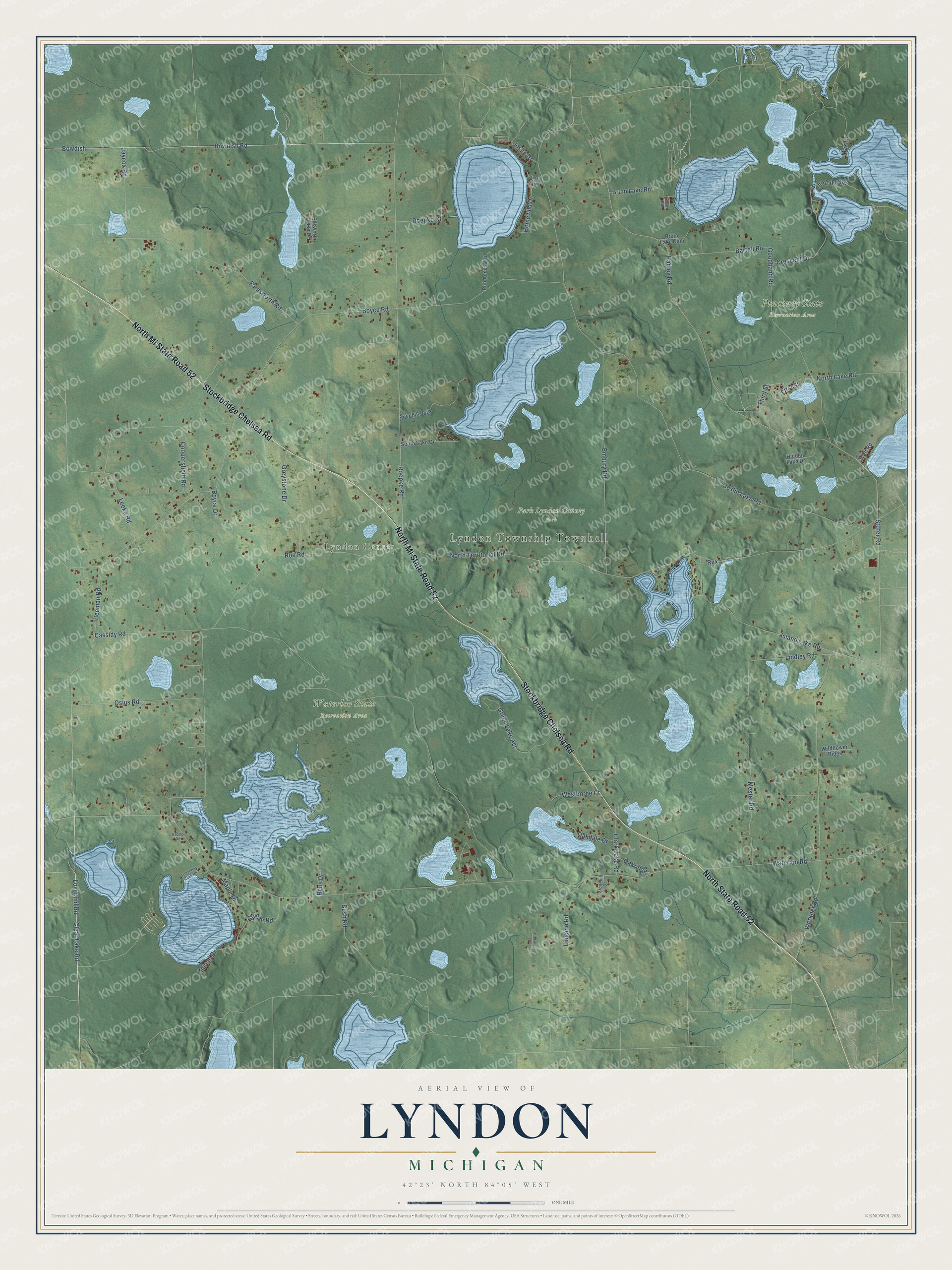
This beautifully detailed map of Lyndon, Michigan was created in 2026 using aerial imagery combined with modern topographical, census, street and landmark data. It's a modern aerial view of Lyndon in Washtenaw County, Michigan, that combines modern data with a vintage aesthetic. The roads feature printed names, and if you look closely you can find your exact house accurately shown in its correct location.
Explore an aerial view of Lyndon, Michigan
On this map you'll find Lyndon Township Townhall, Lyndon Center, Park Lyndon County Park, Pinckney State Recreation Area, Waterloo State Recreation Area, Stockbridge Chelsea Road, North Mi State Road 52, North State Road 52, Clear Lake Road, Bowdish Road, Bowdish, Loveland Road, and more. Each red shape is a building, so zoom in on the preview and look for yours.
Lyndon has a story worth telling. The History of Washtenaw County puts it this way: "Early in November they raised the first log house ever erected within the confines of Lyndon, but this remained untenanted until Jan. 1, 1834, when the eldest brother moved into it, with his newly wedded wife."
The Census Bureau counted 2,656 people here in 2020.
Take a closer look at the Lyndon map
Names on this map
These names are printed on this map.
Places: Lyndon Township Townhall, Lyndon Center, Park Lyndon County Park, Pinckney State Recreation Area and Waterloo State Recreation Area.
Streets and roads: Stockbridge Chelsea Road, North Mi State Road 52, North State Road 52, Clear Lake Road, Bowdish Road, Bowdish, Loveland Road, Beeman Road, Hadley Road, Waterloo Road, Boyce Road, Joslin Lake Road.
More street names, A to Z
Bartell Road, Bens Drive, Blind Lake Road, Boyce Drive, Bruin Lake Club, Bruin Lake Road, Bush Road, Cassidy Road, Clark Lake Road, Coon Road, Coopersfield Road, Crescent Drive, Ellsworth Lake Drive, Elm Court, Embury Road, Farnsworth Road, First Street, Gaddis Road, Goodband Road, Green Lake Acc, Greystone Drive, Guinan Drive, Guinan Road, Hickory Lane, Hidden Lake Drive, Homewild Drive, Island Lake Road, Jaycox Road, Joslin Drive, Leeke Road, Lindley Road, Lingane Road, Maple Drive, Max Drive, Mester Road, North Lake Road, North Territorial Road, Oakdale Drive, Oakridge, Osius Road, Pub Access Road, Rex, Roepke Court, Roepke Road, Roe Road, Sandhill Point, South Lake Drive, Stofer Road, Stonehill Drive, Sugarloaf Lake Road, Third Street, Watt Road, Werkner Road, Westborne Court, Wildflower Ridge.
Created by KNOWOL in 2026. The buildings are small red shapes, the roads carry their printed names, and shaded relief shows the shape of the land. The title panel reads "AERIAL VIEW OF LYNDON, MICHIGAN" with 42°23' NORTH 84°05' WEST.
It looks right in a kitchen, an office or a den, and it's a gift for anyone who grew up in Lyndon or moved away. Open the preview and find your street. See sizes and frames for the Lyndon map.