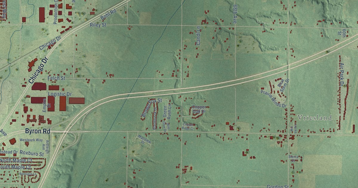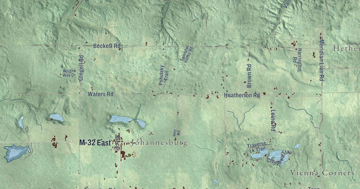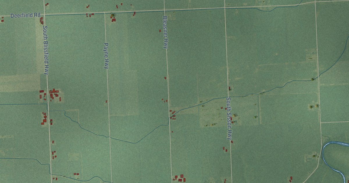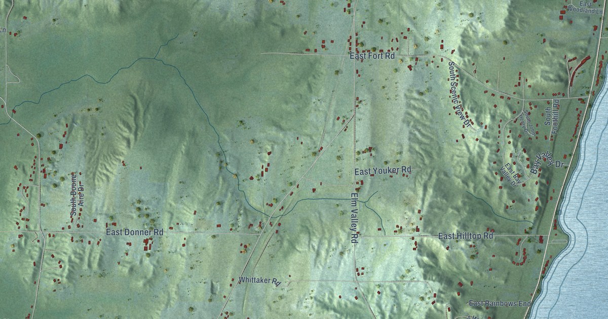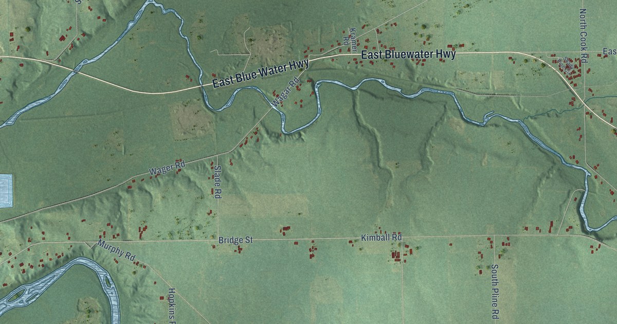
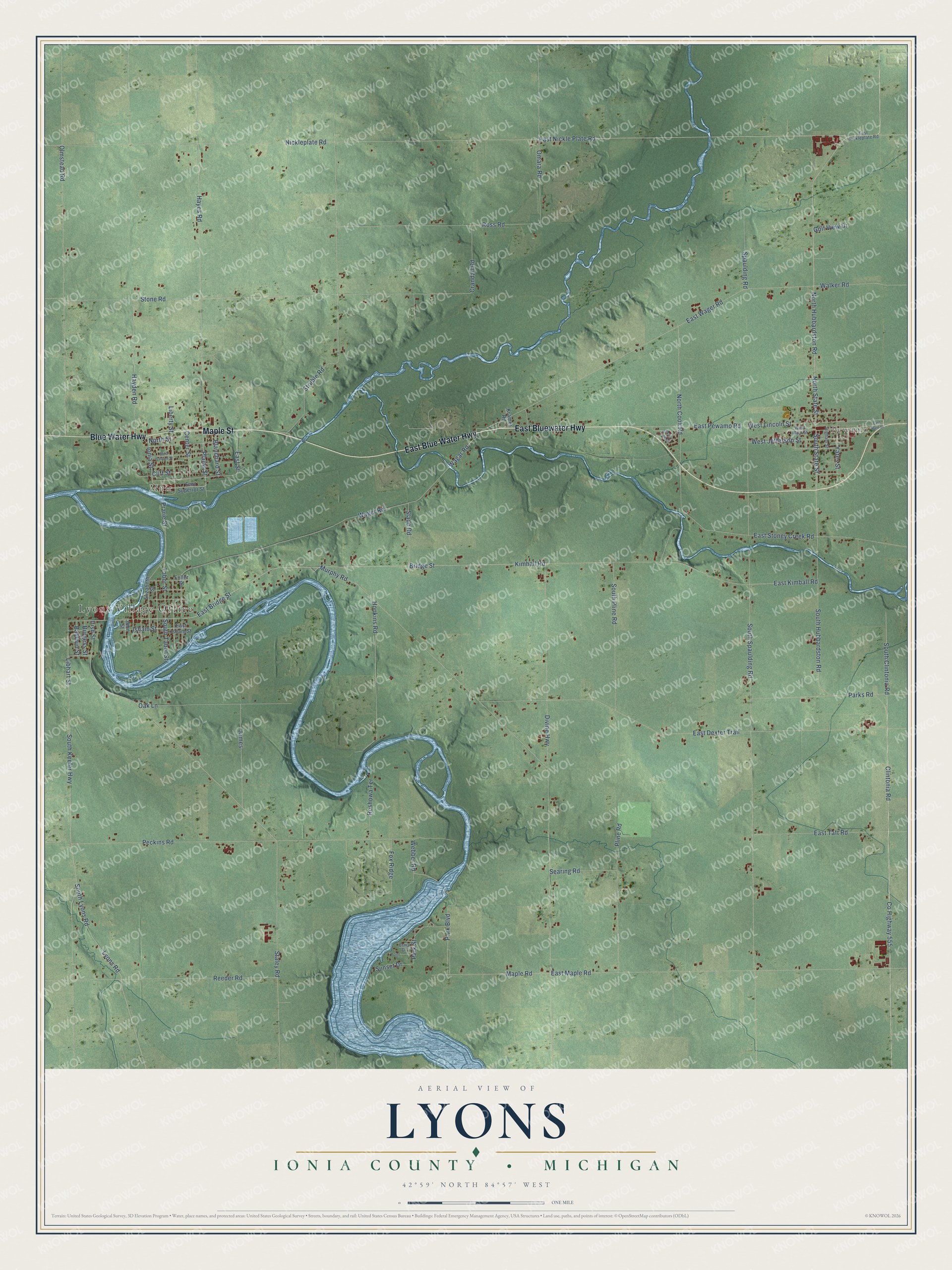
This beautifully detailed map of Lyons, Michigan was created in 2026 using aerial imagery combined with modern topographical, census, street and landmark data. It's a modern aerial view of Lyons in Ionia County, Michigan, that combines modern data with a vintage aesthetic. The roads feature printed names, and if you look closely you can find your exact house accurately shown in its correct location.
Explore an aerial view of Lyons, Michigan
On this map you'll find Lyons Village Office, Pewamo, Muir, East Bluewater Highway, East Blue Water Highway, Maple Street, Blue Water Highway, Plains Street, North Hubbardston Road, North State Street, Ionia Street, West Lincoln Street, and more. Each red shape is a building, so zoom in on the preview and look for yours.
Every town has a first chapter, and Lyons is no exception. The History of Ionia County puts it this way: "In the six miles square nowcalled Lyons township, between Stony creek and Maple river, there were just two settlers. One was Frank Chubb, who had settled in the spring of 1834 on the northeast quarter of section 11, and the other was Nathan Benjamin, on the northeast quarter of section i."
The Census Bureau counted 3,513 people here in 2020.
Take a closer look at the Lyons map
Names on this map
These names are printed on this map.
Places: Lyons Village Office, Pewamo and Muir.
Streets and roads: East Bluewater Highway, East Blue Water Highway, Maple Street, Blue Water Highway, Plains Street, North Hubbardston Road, North State Street, Ionia Street, West Lincoln Street, South State Street, Yates Street, Bridge Street.
More street names, A to Z
Baldwin Street, Blanchard Street, Burgess Street, Center Street, Cliff Street, Clintonia Road, County Highway 555, Crandall Road, Divine Highway, East Bridge Street, East Dexter Trail, East Isham Street, East Kimball Road, East Main Street, East Maple Road, East Nickle Plate Road, East Nickleplate Road, East Pewamo Road, East Stoney Creek Road, East Street, East Superior Street, East Taft Road, East Wager Road, Elizabeth Street, Erma Drive, Fox Ridge, Fuller Street, Golf View Drive, Hayden Road, Hayes Road, Higham Street, Hopkins Road, Irish Street, Isham Street, James, John Street, Kimball Road, Kramer Road, Liberty Street, Libhart Street, Lyons Road, Maple Road, Murphy Road, Nickleplate Road, North Cook Road, North Street, Oak Lane, Olmstead Road, Omara Road, Park Boulevard, Parks Road, Park Street, Peckins Road, Pline Road, Point, Prarie Street, Reeder Road, Roshowa Terrace, Ross Road, Searing Road, Shady Pine Circle, Slade Road, South Clintonia Road, South Hubbardston Road, South Keefer Highway, South Lyons Road, South Pline Road, South Spaulding Road, South Tabor Street, Spaulding Road, Staley Road, Stone Road, Struble Road, Sunset Drive, Tabor Street, Wagar Road, Wager Road, Walker Road, Webber Road, West Garden Street, West Jefferson Street, West Main Street.
Created by KNOWOL in 2026. The buildings are small red shapes, the roads carry their printed names, and shaded relief shows the shape of the land. The title panel reads "AERIAL VIEW OF LYONS, IONIA COUNTY • MICHIGAN" with 42°59' NORTH 84°57' WEST.
Hang it in the hallway, the office or the cabin, or give it to someone who left Lyons and still calls it home. Open the preview and look for a street you know. See sizes and frames for the Lyons, Ionia County map.