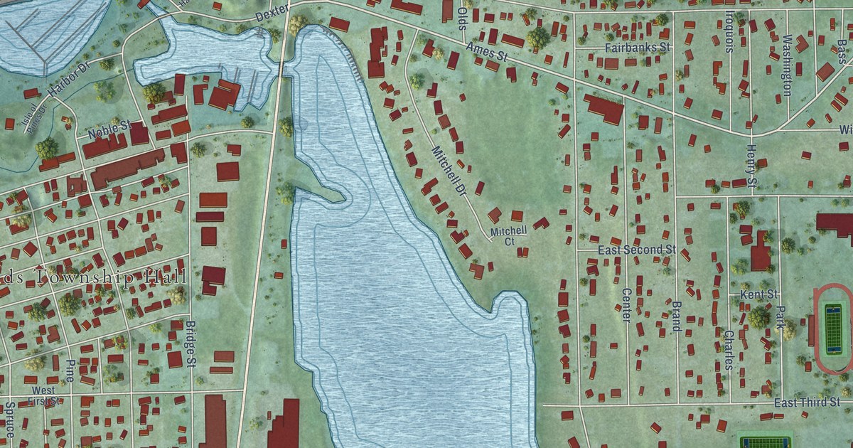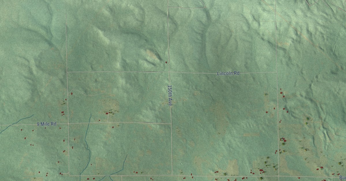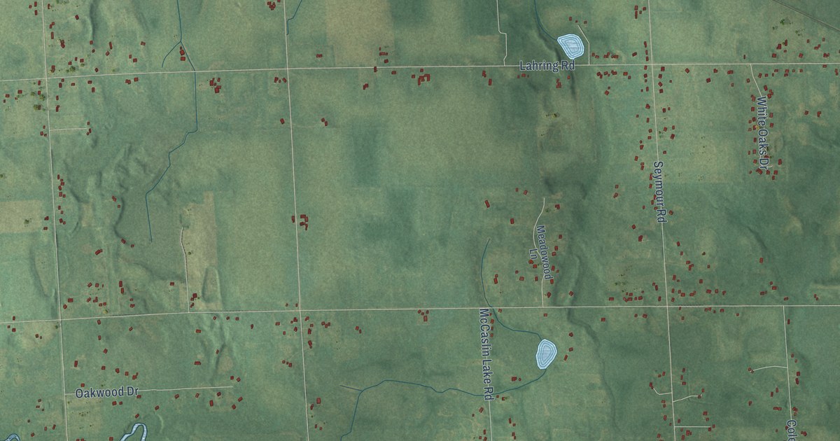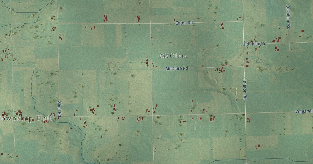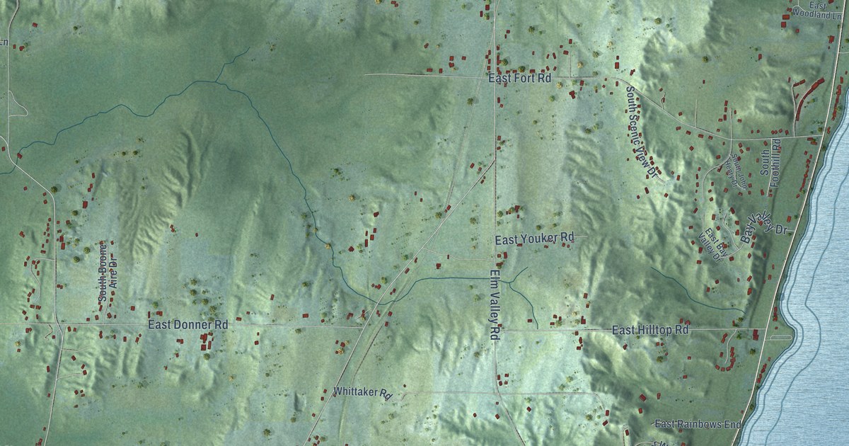
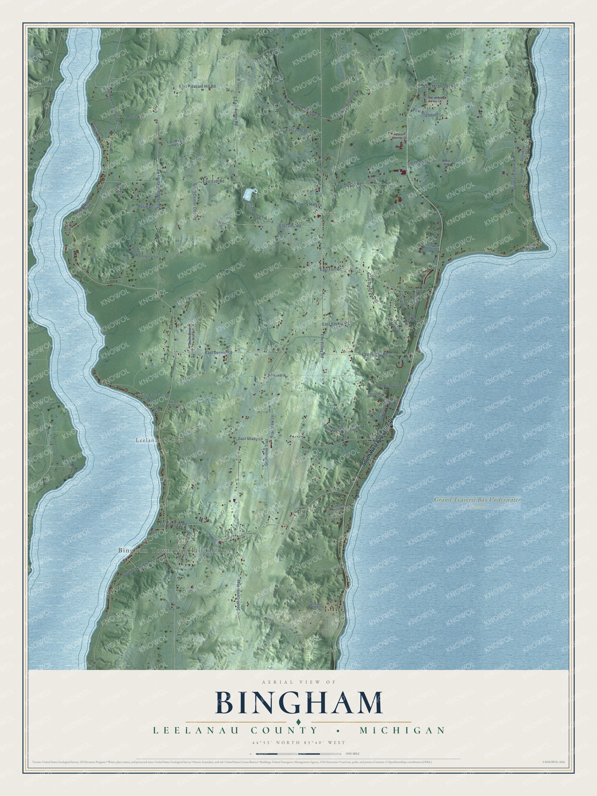
This beautifully detailed map of Bingham, Michigan was created in 2026 using aerial imagery combined with modern topographical, census, street and landmark data. It's a modern aerial view of Bingham in Leelanau County, Michigan, that combines modern data with a vintage aesthetic. The roads feature printed names, and if you look closely you can find your exact house accurately shown in its correct location.
Explore an aerial view of Bingham, Michigan
On this map you'll find Bingham Township Hall Offices, Leelanau Shores, Keswick, Grand Traverse Bay Underwater Preserve, South West Bay Shore Drive, East Erdt Road, South Center Otto Road, South Lk Leelanau Drive, South Center Highway, South Lee Point Road, East Bingham Road, East Otto Road, and more. Each red shape is a building, so zoom in on the preview and look for yours.
Bingham has a story worth telling. The record at arcgis.com puts it this way: "Sunday school classes met here until 1888 when an Evangelical church was built across the road."
The Census Bureau counted 2,577 people here in 2020.
Take a closer look at the Bingham map
Names on this map
These names are printed on this map.
Places: Bingham Township Hall Offices, Leelanau Shores, Keswick and Grand Traverse Bay Underwater Preserve.
Streets and roads: South West Bay Shore Drive, East Erdt Road, South Center Otto Road, South Lk Leelanau Drive, South Center Highway, South Lee Point Road, East Bingham Road, East Otto Road, South Maple Valley Road, East Fort Road, Elm Valley Road, East Shady Lane.
More street names, A to Z
Anchor Way, Anscer, Bay Valley Drive, Blake Lane, East Bay Valley Drive, East Brigadoon Lane, East Donner Road, East Hendryx Drive, East Hilltop Road, East Island Bluff Trail, East Jade Drive, East Kohler Road, East Maple Hill Drive, East McAllister Road, East Meadow View Street, East Melissa Drive, East Morningstar Lane, East Murray Court, East Nicholas Drive, East Pleasant Hill Road, East Rainbows End, East Revold Road, East Send Road, East Sierra Drive, East Woodland Lane, East Youker Road, Elm Ridge Drive, Grapevine Trail, Keswick Hills Drive, Mario Road, Palisades Lane, Rosie Drive, Send Road, South Boone Aire Drive, South Candace Lane, South Cherry Tree Lane, South Foothill Road, South John Henry Drive, South Lakeview Road, South Lawrence Road, South Lee Point Lane, South Pineview Road, South Richter Road, South Rolling Hills Drive, South Sandy Beach Road, South Scenic View Drive, South Skeba Road South, South Stanley Street, Spyglass Ridge Drive, Trail View Lane, Whittaker Road.
Created by KNOWOL in 2026. The buildings are small red shapes, the roads carry their printed names, and shaded relief shows the shape of the land. The title panel reads "AERIAL VIEW OF BINGHAM, LEELANAU COUNTY • MICHIGAN" with 44°53' NORTH 85°40' WEST.
It looks right in a kitchen, an office or a den, and it's a gift for anyone who grew up in Bingham or moved away. Open the preview and find your street. See sizes and frames for the Bingham, Leelanau County map.