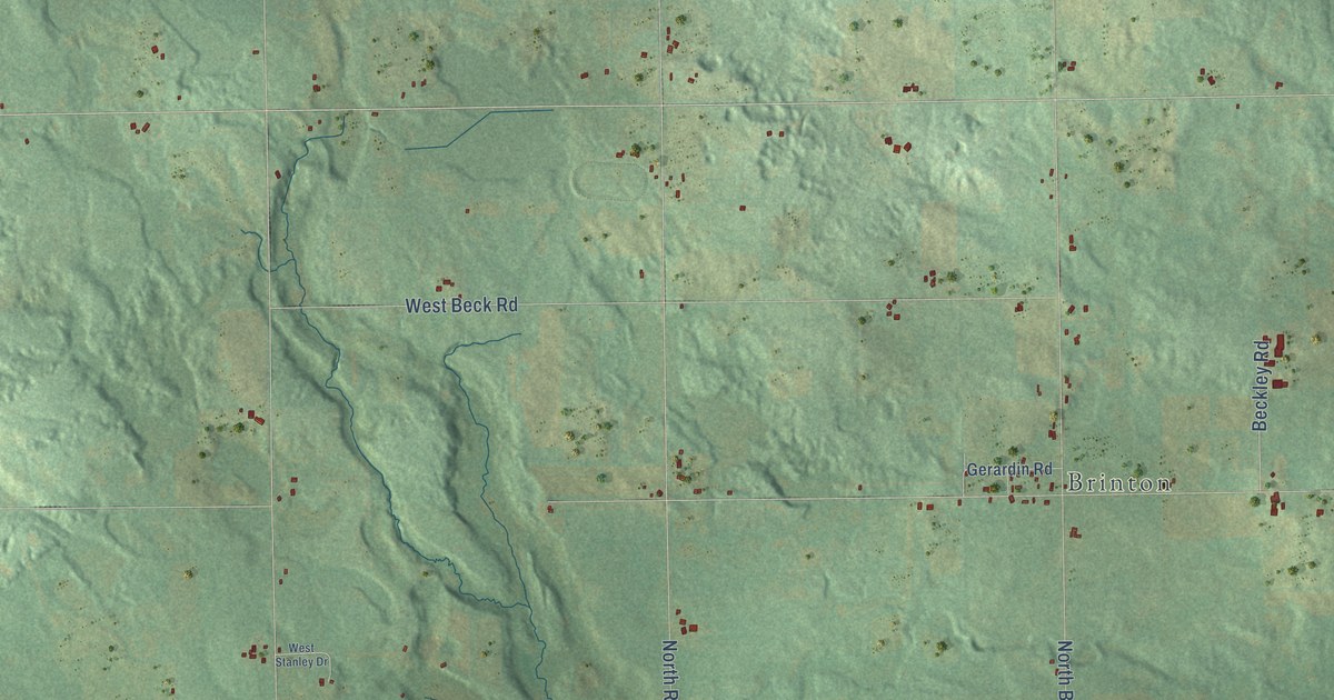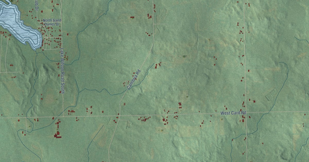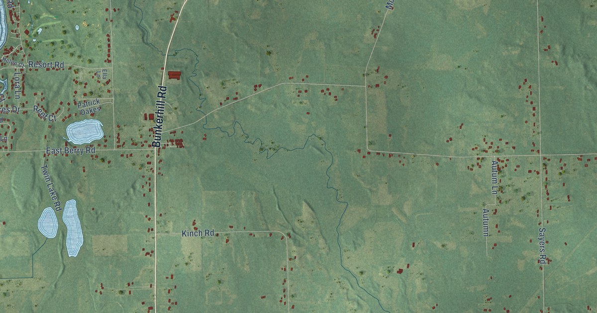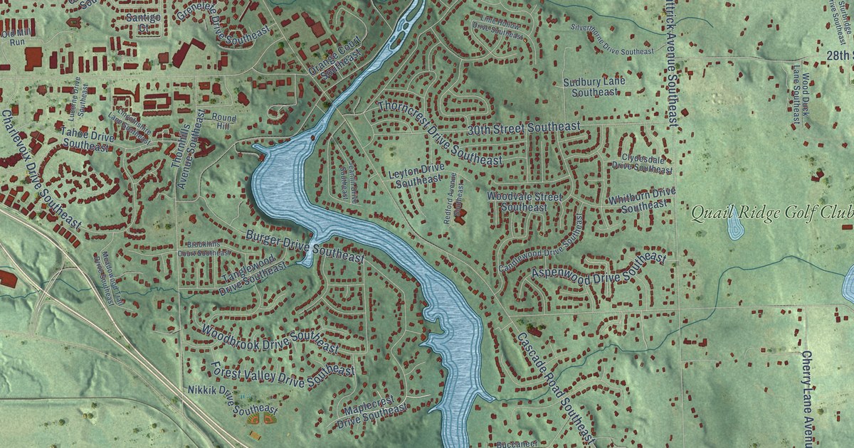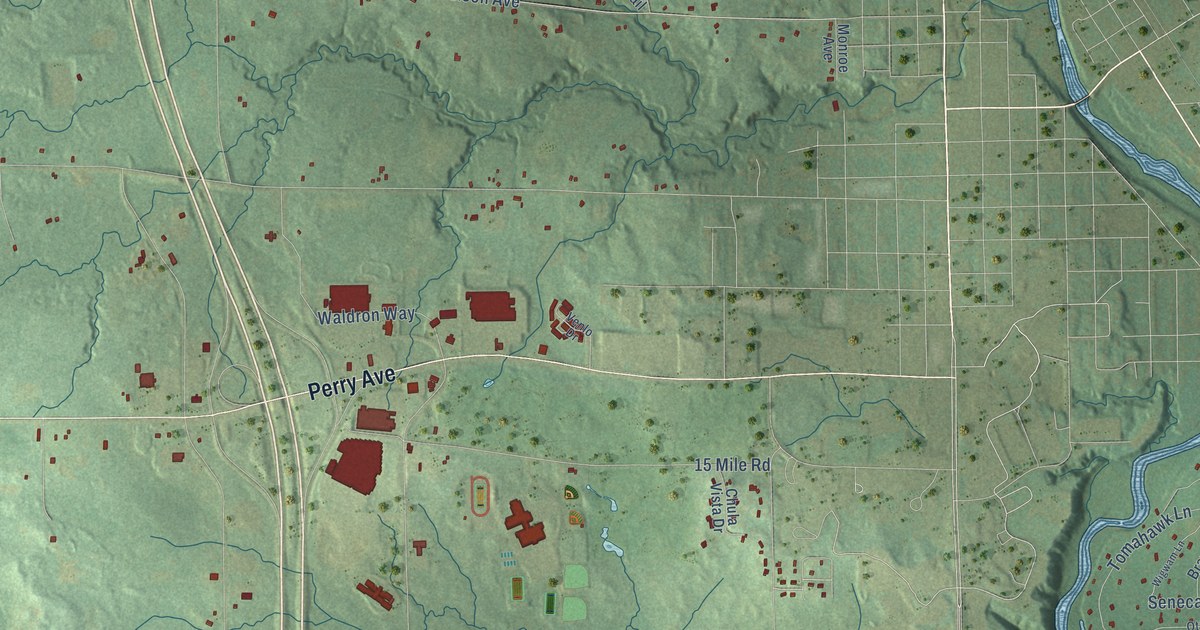
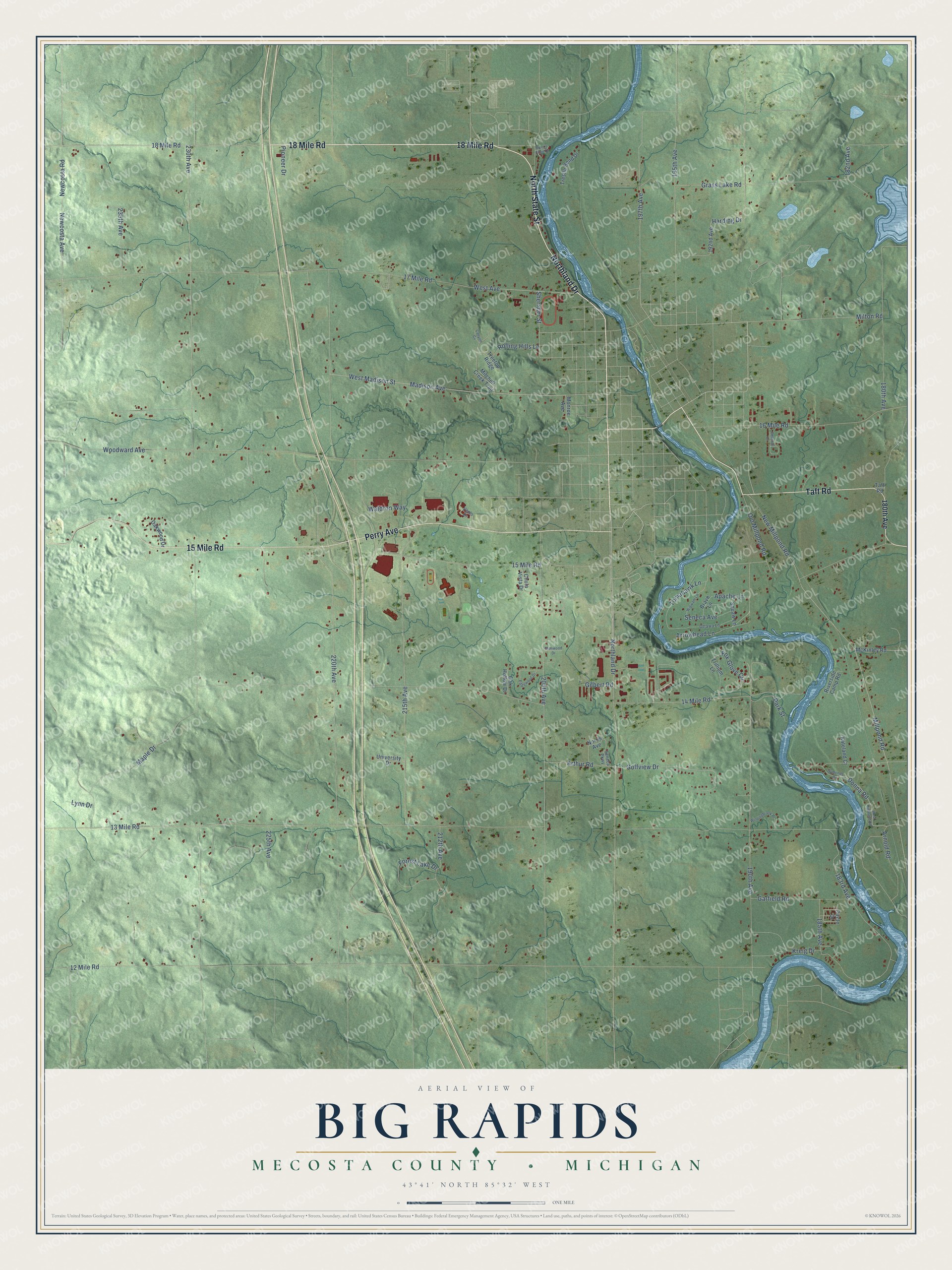
This beautifully detailed map of Big Rapids, Michigan was created in 2026 using aerial imagery combined with modern topographical, census, street and landmark data. It's a modern aerial view of Big Rapids in Mecosta County, Michigan, that combines modern data with a vintage aesthetic. The roads feature printed names, and if you look closely you can find your exact house accurately shown in its correct location.
Explore an aerial view of Big Rapids, Michigan
On this map you'll find 18 Mile Road, Northland Drive, North State Street, Taft Road, 15 Mile Road, Perry Avenue, Arnold Road, Donna Road, 197th Avenue, Arthur Road, Arrowhead Lane, 190th Avenue, and more. Each red shape is a building, so zoom in on the preview and look for yours.
Here is a piece of Big Rapids history, in the words of the record. The Mecosta County History puts it this way: "The first schoolhouse was a two-story frame building, erected in 1859, on the corner of Michigan avenue and Oak street, in Big Rapids, and afterwards known as the First Ward School-house of the city."
The Census Bureau counted 3,917 people here in 2020.
Take a closer look at the Big Rapids map
Names on this map
These names are printed on this map.
Streets and roads: 18 Mile Road, Northland Drive, North State Street, Taft Road, 15 Mile Road, Perry Avenue, Arnold Road, Donna Road, 197th Avenue, Arthur Road, Arrowhead Lane, 190th Avenue.
More street names, A to Z
12 Mile Road, 13 Mile Road, 14 Mile Road, 16 Mile Road, 17 Mile Road, 180th Avenue, 182nd Avenue, 183rd Avenue, 185th Avenue, 192nd Avenue, 195th Avenue, 205th Avenue, 212th Avenue, 215th Avenue, 220th Avenue, 225th Avenue, 230th Avenue, 235th Avenue, Apache Lane, Belmont Drive, Brave Lane, Canyon Cv, Chula Vista Drive, Circle Drive, Edgewood Drive, Forest Lake Drive, Fox Glove Circle, Garfield Road, Gilbert Road, Glenwood Drive, Golfview Drive, Grass Lake Road, Harding Drive, Kateland Court, Kreig Drive, Lynn Drive, Madison Avenue, Maple Drive, McKinley Road, Millpond Road, Milton Road, Mitchell Creek Trail, Monroe Avenue, Newcosta Avenue, Newcosta Road, New Millpond Road, Norris Avenue, Oak Hollow Drive, Oakwood Drive, Old Millpond Road, Ottawa Lane, Park Street, Pioneer Drive, River's Edge Drive, Riverside Camp Road, Rolling Hills Lane, Seneca Avenue, Seneca Parkway, Sheridan Street, Symonds Drive, Tomahawk Lane, Treetop Ridge, Trestle Bend Drive, Trillium Lane, University Drive, Venlo Drive, Waldron Way, West Avenue, West Highland Road, West Madison Street, Wigwam Lane, Windingbrook Place, Woodward Avenue.
Created by KNOWOL in 2026. The buildings are small red shapes, the roads carry their printed names, and shaded relief shows the shape of the land. The title panel reads "AERIAL VIEW OF BIG RAPIDS, MECOSTA COUNTY • MICHIGAN" with 43°41' NORTH 85°32' WEST.
It suits a den, a classroom or a front hall, and it makes a gift for anyone with Big Rapids roots. Open the preview and find the block you know. See sizes and frames for the Big Rapids, Mecosta County map.