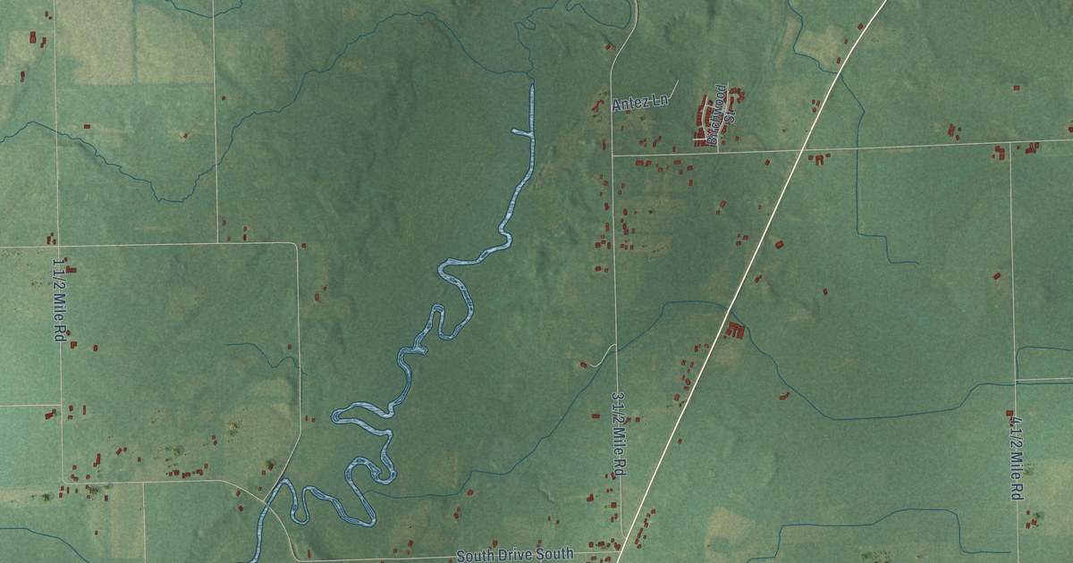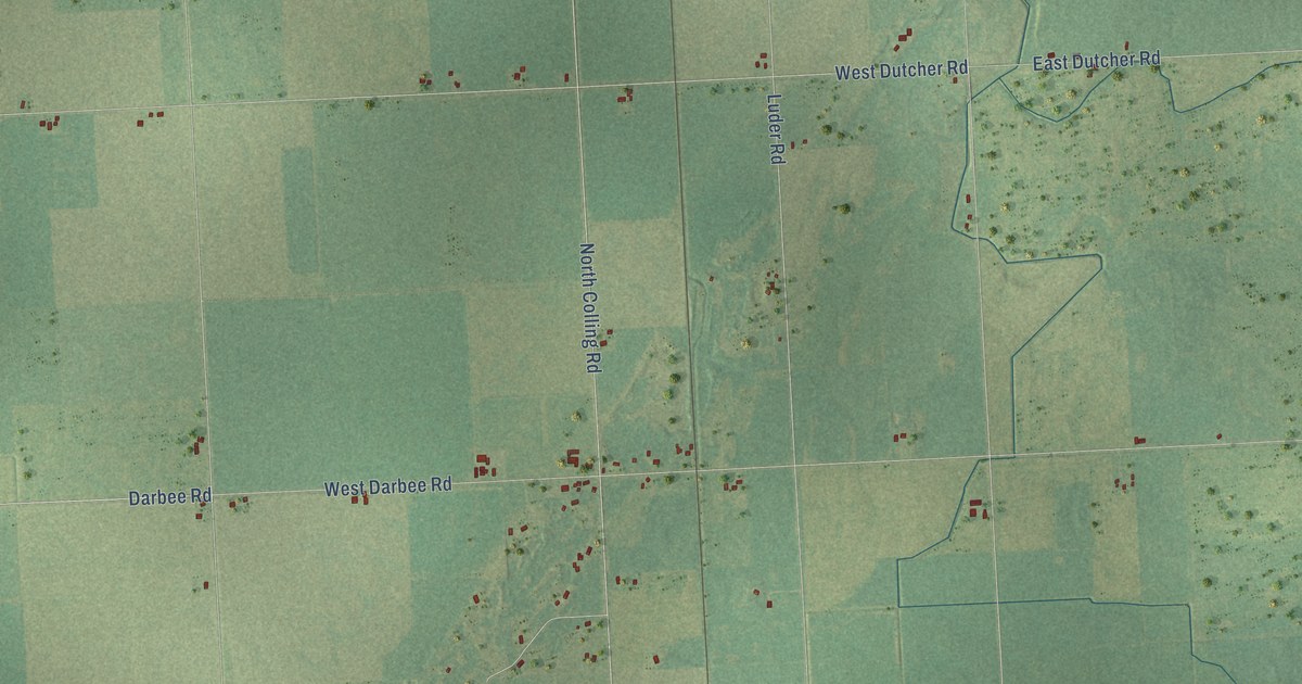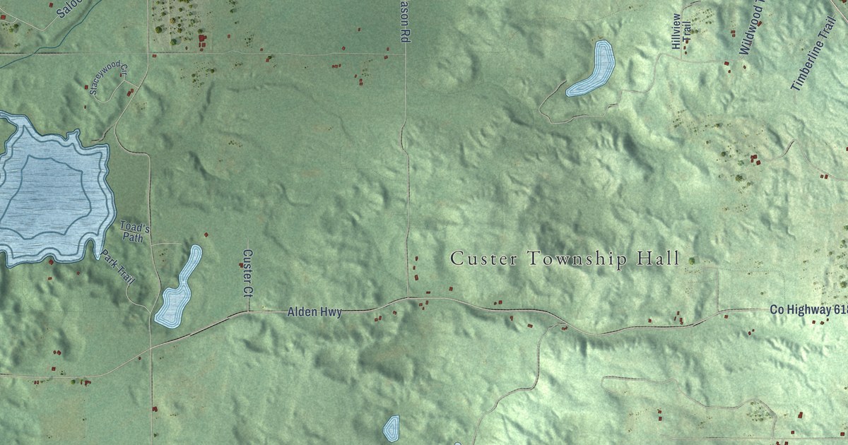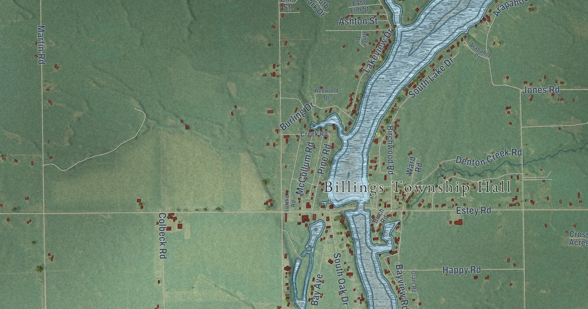
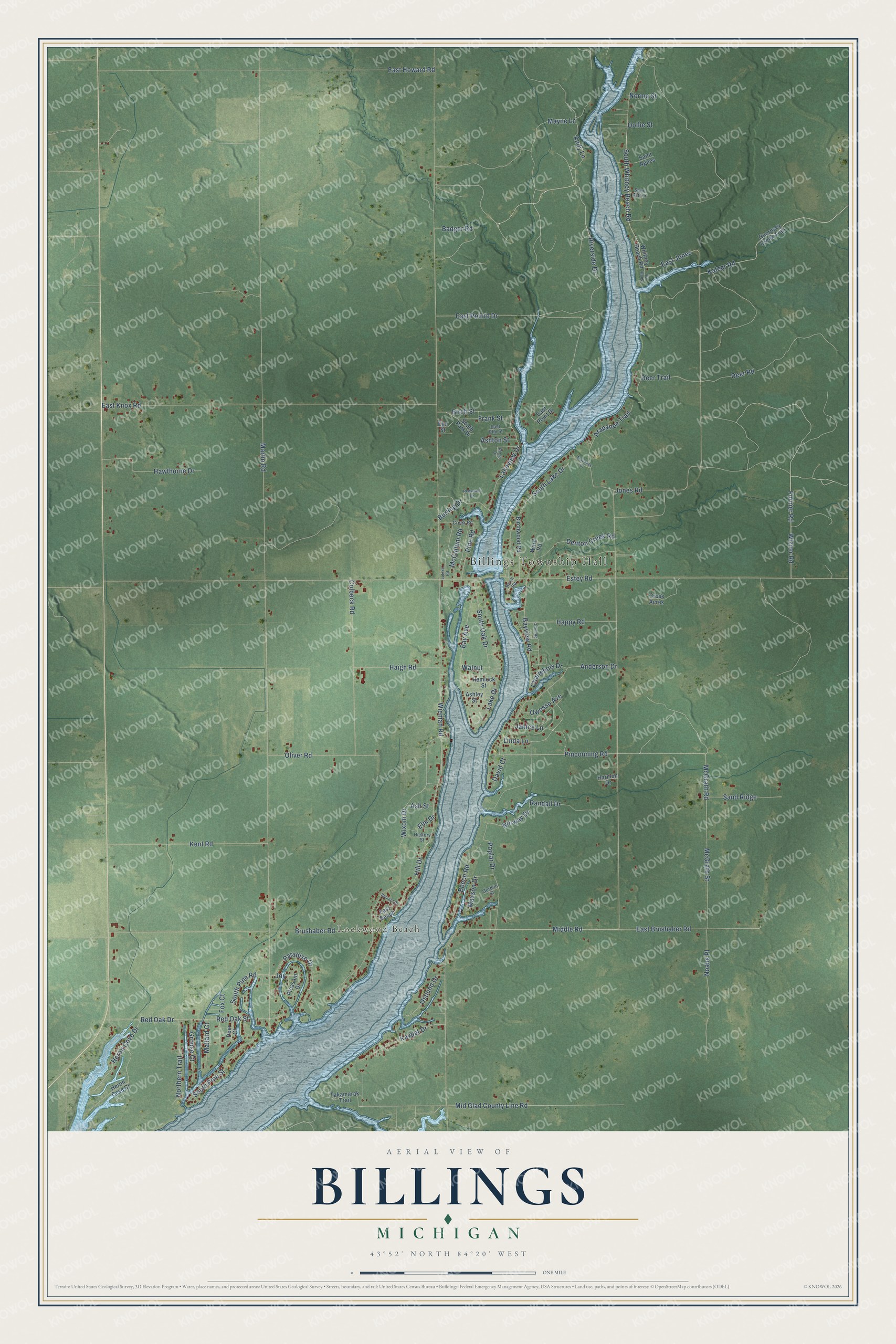
This beautifully detailed map of Billings, Michigan was created in 2026 using aerial imagery combined with modern topographical, census, street and landmark data. It's a modern aerial view of Billings in Gladwin County, Michigan, that combines modern data with a vintage aesthetic. The roads feature printed names, and if you look closely you can find your exact house accurately shown in its correct location.
Explore an aerial view of Billings, Michigan
On this map you'll find Billings Township Hall, Lockwood Beach, Wizner Road, Fornier Road, Lakeview Drive, Riverside Drive, South Whitney Beach Road, East Jones, Pinconning Road, Hill Drive, South Pine Road, Red Oak Street, and more. Each red shape is a building, so zoom in on the preview and look for yours.
Billings has a story worth telling. The Gladwin County First Settler Centennial puts it this way: "At one time Billings had two stores, the school, a cheese factory, cider mill, post office, telephone central, and a baseball team."
The Census Bureau counted 2,318 people here in 2020.
Take a closer look at the Billings map
Names on this map
These names are printed on this map.
Places: Billings Township Hall and Lockwood Beach.
Streets and roads: Wizner Road, Fornier Road, Lakeview Drive, Riverside Drive, South Whitney Beach Road, East Jones, Pinconning Road, Hill Drive, South Pine Road, Red Oak Street, Janice Lane, McGrath Road.
More street names, A to Z
Anderson Drive, Andy Lane, Arapahoe Court, Arapahoe Trail, Ashley Street, Ash Street, Ashton Street, Badger Road, Bannon Drive, Bay Avenue, Bayview Road, Beech Road, Birch Road, Birch Street, Birchwood Road, Brushaber Road, Burling Drive, Charlebois Drive, Colbeck Road, Creek Road, Cross Acres, David Court, Deer Court, Deer Road, Deer Trail, Denton Creek Road, Dollie Street, East Beach, East Brushaber Road, East Elm Street, East Howard Road, East Knox Road, East Point Drive, East Pointe Drive, Elm Drive, Elm Street, Estey Road, Fox Court, Frank Street, Gordon Street, Grant Road, Grouse Court, Guernsey Creek Trail, Haigh Road, Happy Road, Harmon Drive, Hawthorne Drive, Hemlock Street, Heron Cove Court, Heron Cove Drive, Hickory Street, Jones Road, Joy, Katzer Road, Kaypat Drive, Kent Road, Lake Drive, Linda Lane, Lutzke Road, Mallard Court, Martin Road, Maxson Drive, Mayne Lane, McCullum Road, McGrath Street, Middle Road, Mid Glad County Line Road, Noahs Place, Norma Street, Northern Trail, Norway Drive, Oliver Road, Ostlund Drive, Owosso Avenue, Paradise Drive, Pine Road, Pleasant Drive, Poplar Drive, Randall Drive, Red Oak Drive, Redwood Drive, Ringo Drive, Saint Agnes, Saint Arthur, Sand Ridge, South Lake Drive, South Oak Drive, South Park Drive, South Pine Street, South Road, Takamarak Trail, Walnut, Ward Road, Whitney Beach Road, Wieman Road, Wixom Drive.
Created by KNOWOL in 2026. The buildings are small red shapes, the roads carry their printed names, and shaded relief shows the shape of the land. The title panel reads "AERIAL VIEW OF BILLINGS, MICHIGAN" with 43°52' NORTH 84°20' WEST.
It looks right in a kitchen, an office or a den, and it's a gift for anyone who grew up in Billings or moved away. Open the preview and find your street. See sizes and frames for the Billings map.