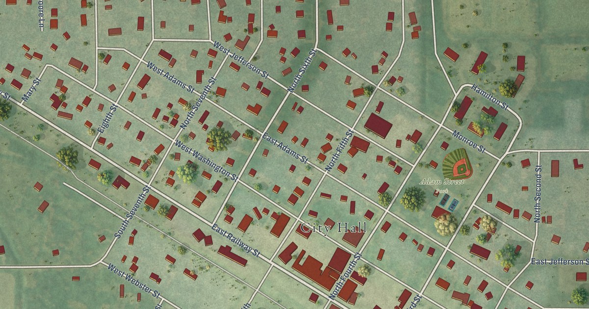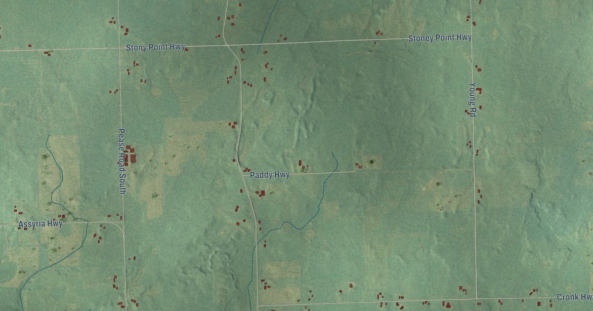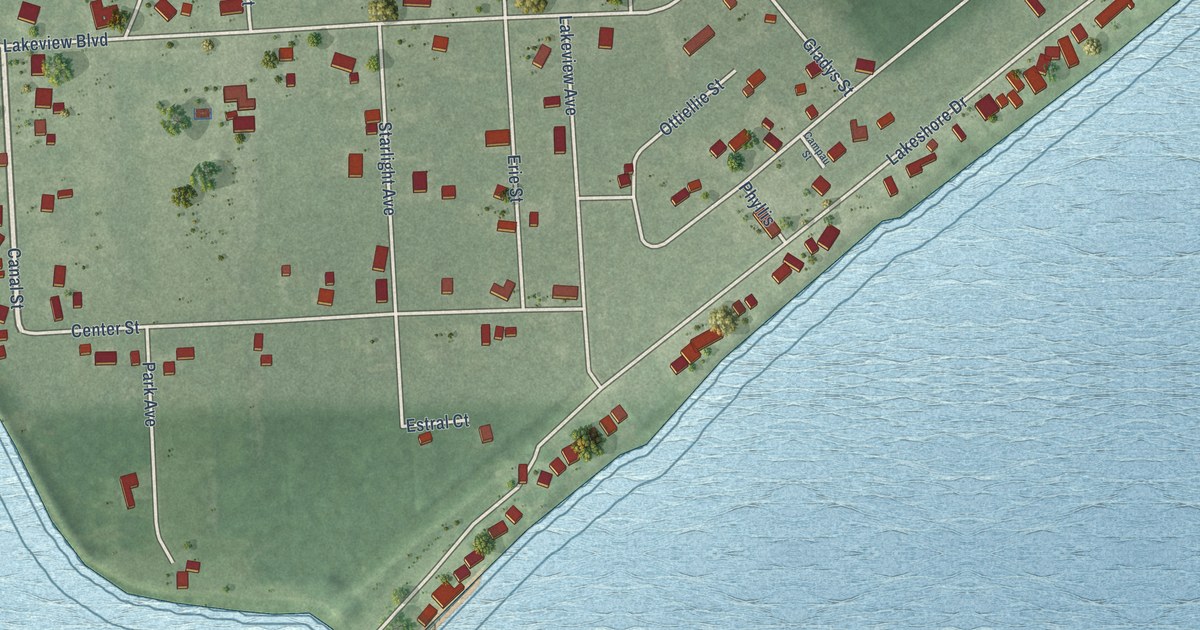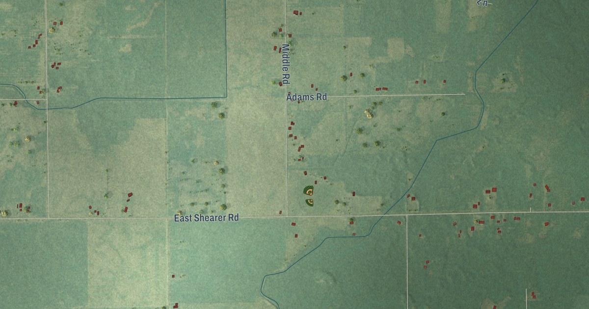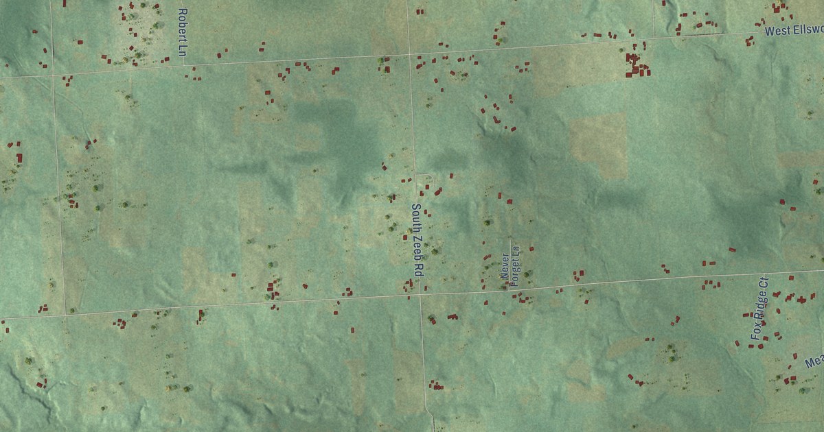
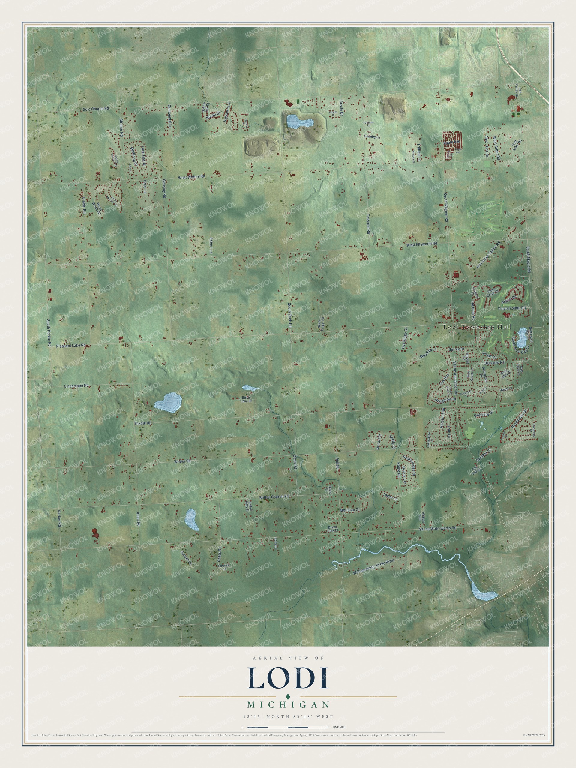
This beautifully detailed map of Lodi, Michigan was created in 2026 using aerial imagery combined with modern topographical, census, street and landmark data. It's a modern aerial view of Lodi in Washtenaw County, Michigan, that combines modern data with a vintage aesthetic. The roads feature printed names, and if you look closely you can find your exact house accurately shown in its correct location.
Explore an aerial view of Lodi, Michigan
On this map you'll find Lodi Township Hall, Pleasant Lake Road, Saline Ann Arbor Road, Scio Church Road, West Waters Road, West Ellsworth Road, Saline Waterworks Road, Weber Road, Textile Road, South Zeeb Road, Bethel Church Road, South Parker Road, and more. Each red shape is a building, so zoom in on the preview and look for yours.
Here is a piece of Lodi history, in the words of the record. The History of Washtenaw County puts it this way: "Subsequently a number of members took letters, and organized in 1854 as the Independent Church of Lodi. This new society purchased the church building from the original society."
The Census Bureau counted 6,417 people here in 2020.
Take a closer look at the Lodi map
Names on this map
These names are printed on this map.
Places: Lodi Township Hall.
Streets and roads: Pleasant Lake Road, Saline Ann Arbor Road, Scio Church Road, West Waters Road, West Ellsworth Road, Saline Waterworks Road, Weber Road, Textile Road, South Zeeb Road, Bethel Church Road, South Parker Road, South Wagner Road.
More street names, A to Z
Alber Road, Alex, Alex Drive, Andrew Thomas Trail, Ann Arbor-Saline Road, Apple Avenue, Aspen Road, Bellwether Drive, Bethel Hills Drive, Birkle Lake Drive, Blue Grass Lane, Boxwood Court, Brassow Road, Briar Glen Drive, Brookview Drive, Burberry Court, Castle Drive, Centennial Lane, Cherry Lane, Country Lane, Cross Creek Drive, Davis Court, Deere Park Court, Dell Road, Diuble Road, East Arbor Road, Estates Court, Fairview Court, Farm Lane, Fox Ridge Court, Fox Run, Gensley Road, Golfview Drive, Grape Avenue, Grass Road, Gunther Court, Hackamore Drive, Harvest Road, Heatheridge Drive, Heather Road, Hedgerow Drive, Hereford Road, Heron Court, Hickory Hill, Hollow Oak Drive, Holly Lane, Homestead Court, Katz Farm Court, Lindemann Road, Lodi Lane, Lodimeadow Drive, Lone Oak Drive, Madrono Drive, Meadow Lane, Meridian Court, Miakoda Court, Michael Drive, Mullberry Court, Never Forget Lane, Noble Road, North Arch Bay Drive, Oak Valley Drive, Old Oak Court, Parker Road, Robal Court, Robert Lane, Shelly Court, Sitka Court, South Arch Bay Drive, South Maple Road, Stoneridge Drive, Strieter Road, Sunrise Court, Sunset Court, Surrey Drive, Tapadera Drive, Taylor Lane, Tessmer Lane, Tessmer Road, Travis Pointe Road, Trillium Lane, Village Road, Wagon Wheel Drive, Waters Meadow Trail, West Arbor Road, Williamsburg on the River, Wood Brook Road, Zeeb Road.
Created by KNOWOL in 2026. The buildings are small red shapes, the roads carry their printed names, and shaded relief shows the shape of the land. The title panel reads "AERIAL VIEW OF LODI, MICHIGAN" with 42°13' NORTH 83°48' WEST.
It suits a den, a classroom or a front hall, and it makes a gift for anyone with Lodi roots. Open the preview and find the block you know. See sizes and frames for the Lodi map.