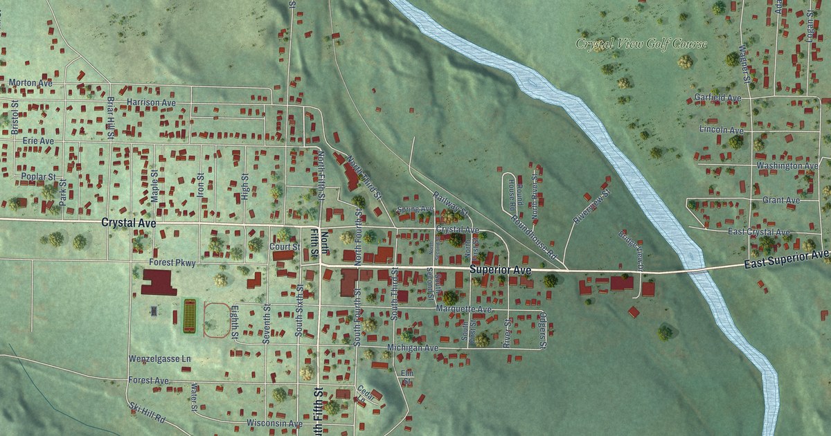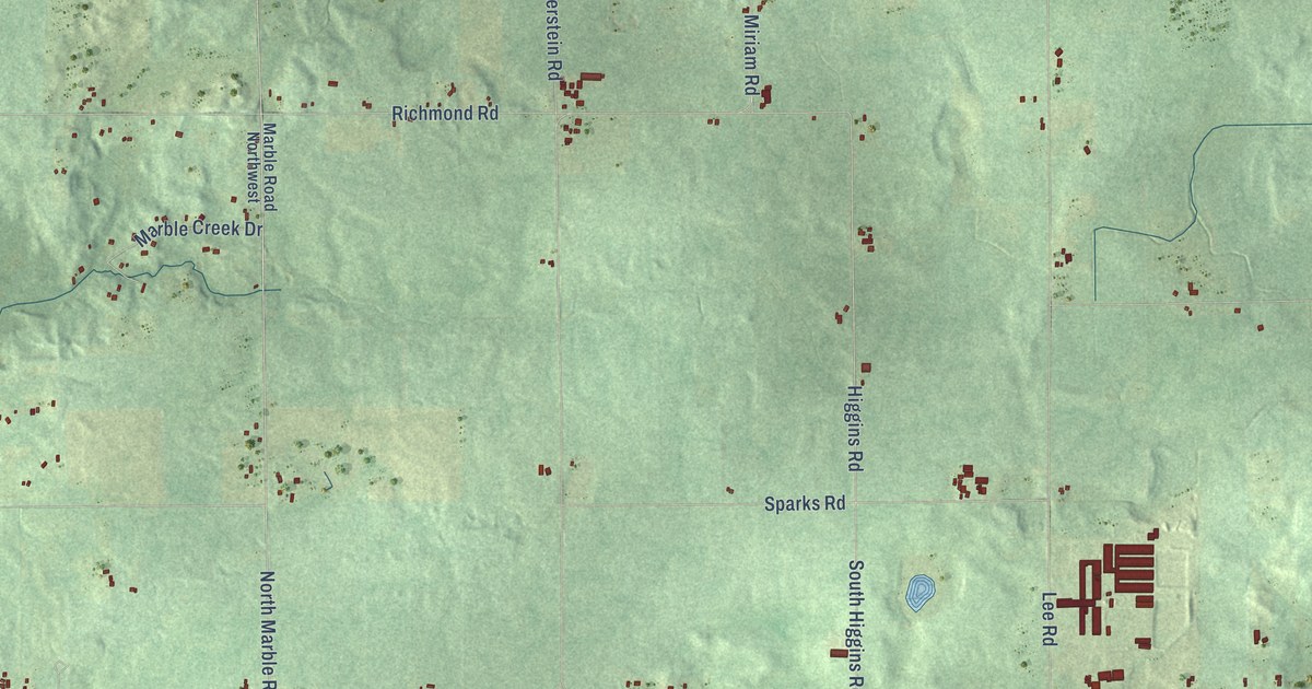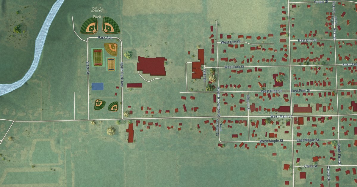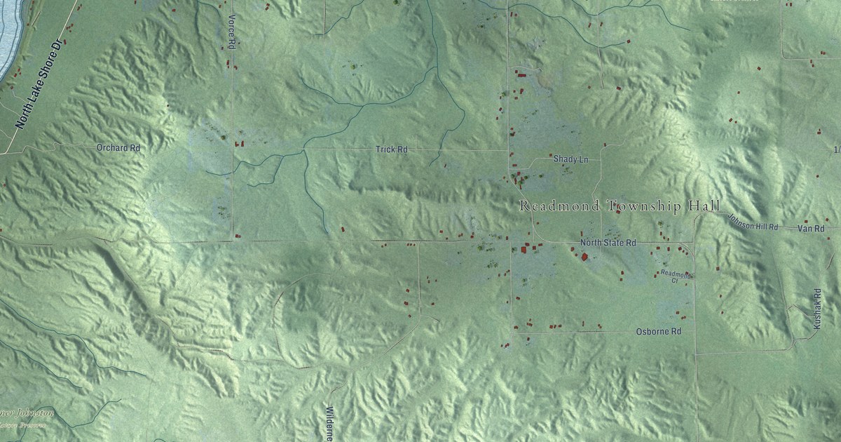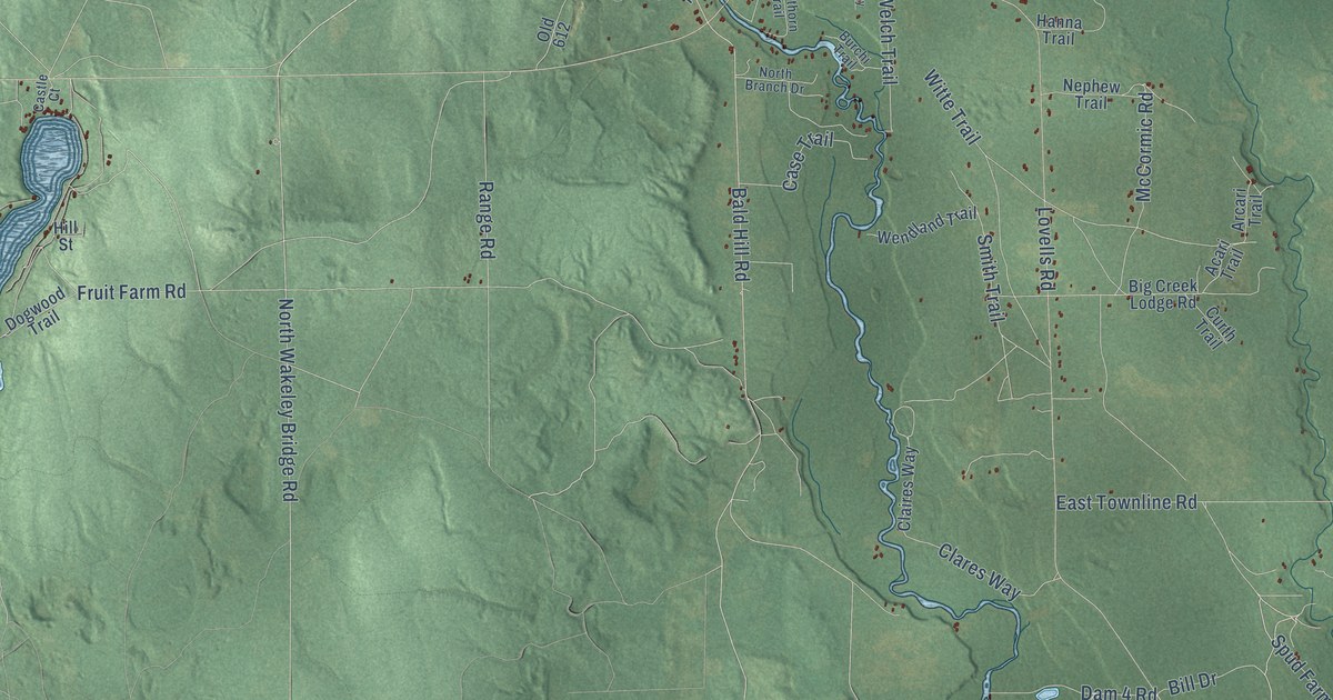
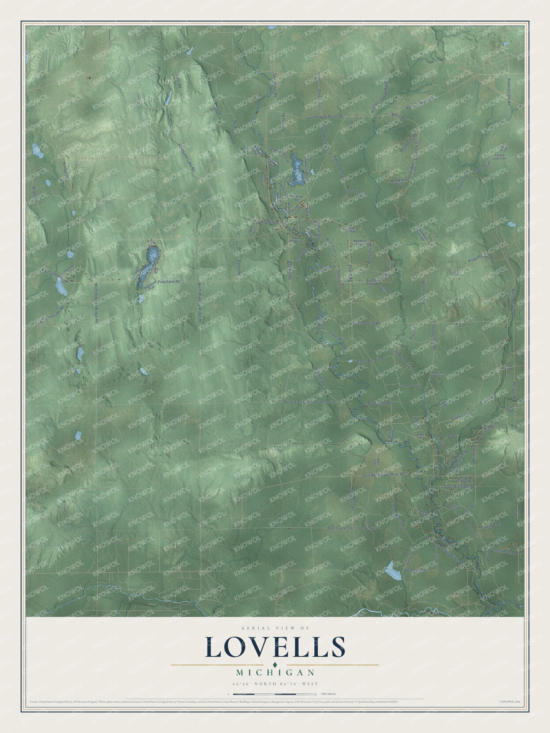
This beautifully detailed map of Lovells, Michigan was created in 2026 using aerial imagery combined with modern topographical, census, street and landmark data. It's a modern aerial view of Lovells in Crawford County, Michigan, that combines modern data with a vintage aesthetic. The roads feature printed names, and if you look closely you can find your exact house accurately shown in its correct location.
Explore an aerial view of Lovells, Michigan
On this map you'll find Au Sable State Forest – Grayling Unit, Spud Farm Trail, Martindale Road, Bald Hill Road, Twin Bridge Road, Sawmill Trail, Co Highway 612, Shupac Trail, North Stephan Bridge Road, Lonesome Lake Road, Oates Road, North Wakeley Bridge Road, and more. Each red shape is a building, so zoom in on the preview and look for yours.
Lovells has a story worth telling. The record at arcgis.com puts it this way: "In 1916, as the lumbering era waned, Douglas opened the Douglas House hotel and established the North Branch Outing Club."
The Census Bureau counted 567 people here in 2020.
Take a closer look at the Lovells map
Names on this map
These names are printed on this map.
Places: Au Sable State Forest - Grayling Unit.
Streets and roads: Spud Farm Trail, Martindale Road, Bald Hill Road, Twin Bridge Road, Sawmill Trail, County Highway 612, Shupac Trail, North Stephan Bridge Road, Lonesome Lake Road, Oates Road, North Wakeley Bridge Road, Hi Banks Road.
More street names, A to Z
Acari Trail, Akron Club Trail, Alpine Drive, Arcari Trail, Big Creek Lodge Road, Bill Drive, Boondocks Road, Briggs Road, Bucks East & West Truck Trail, Bud's Trail, Burchi Trail, Campground Trail, Case Trail, Castle Court, Cherry Creek Road, Cherry Trail, Chief's Trail, Chiefs Trail, Claires Way, Clares Way, Conners Marsh Trail, Cook Trail, County Line Trail, Crawford Court, Creekview Drive, Crooked Trail, Curth Trail, Dam 4 Road, De Vlieg Road, Dogwood Trail, Duby Drive, Dyer Truck Trail, East County Road 612, East Jones Lake Road, East North Down River Road, East Townline Road, Ermine Trail, Fruit Farm Road, Fum Trail, Gorski Trail, Griffin Road, Grouse Trail, Hanna Trail, Harolds Trail, Hawthorn Trail, Hehir Trail, Hemlock Drive, Henry Street, Hideaway Drive, Highlander Trail, Hill Street, Hopkins Lodge Road, Hopkins Lodge Trail, Indian Trail, Jackpine Plains Road, Jackson Hole Trail, Jennifer Lane, Kengel Trail, Key Phyve Trail, Kinney Road, Kirkland Drive, Lint Trail, Long Trail, Lovells Road, Low Road, McCormic Road, Meridan Road, Morley Road, Nash Camp Road, Neafie Trail, Nephew Trail, Nor'sable Pines Trail, North, North Big Creek Road, North Branch Drive, North Conners Dam Trail, Northeast Trail, North Lincoln Lodge Road, North Mc Masters Bridge Road, North Meridan Road, Nurenberg Road, Old 612, Pickeral Lake Road, Pickerel Lake Road, Pike Trail, Pipeline Road, Porter Trail, Railroad Grade Road, Range Road, Sachs Trail, Sawmill Road, Scenic Drive, Shannon Road, Shupac Lake Road, Ski Hill Road, Smith Trail, Sno Trac Trail, Snowmobile Road, Snow Mobile Trail, Snowmobil Tr 4, Snow Mobil Tr 409, Snow Mobil Trail 409, South Big Creek Road, South Walsh Road, Spencer Trail, Tatham Trail, Thundermug Road, Timberlane Trail, Walsh Road, Wan-A-Buk Trail, Welch Trail, Wendland Trail, West County Road 612, Willow Banks, Witte Trail, Wynnwood Road.
Created by KNOWOL in 2026. The buildings are small red shapes, the roads carry their printed names, and shaded relief shows the shape of the land. The title panel reads "AERIAL VIEW OF LOVELLS, MICHIGAN" with 44°46' NORTH 84°26' WEST.
It looks right in a kitchen, an office or a den, and it's a gift for anyone who grew up in Lovells or moved away. Open the preview and find your street. See sizes and frames for the Lovells map.