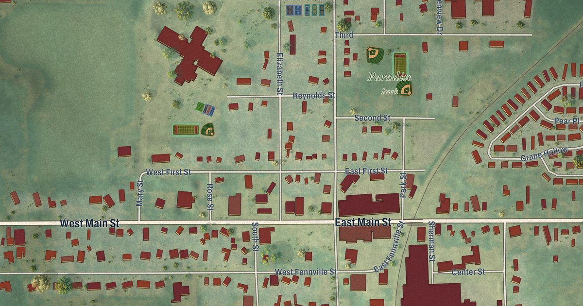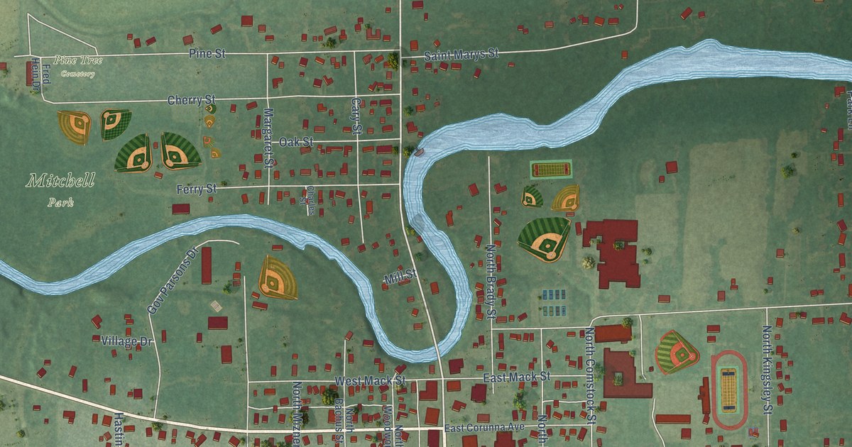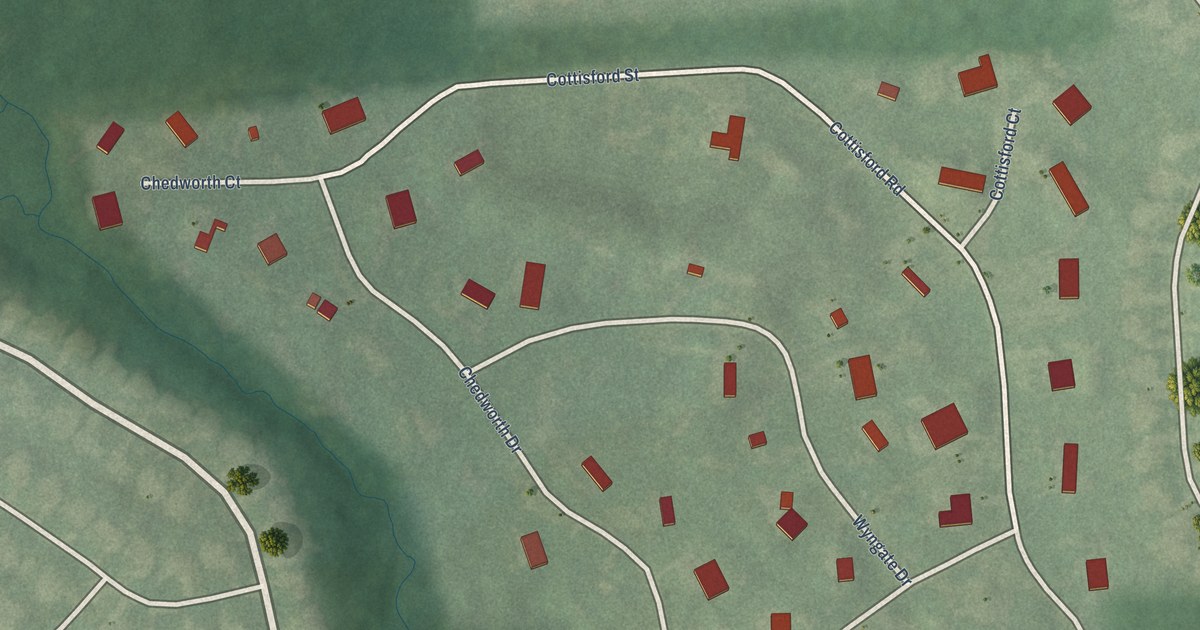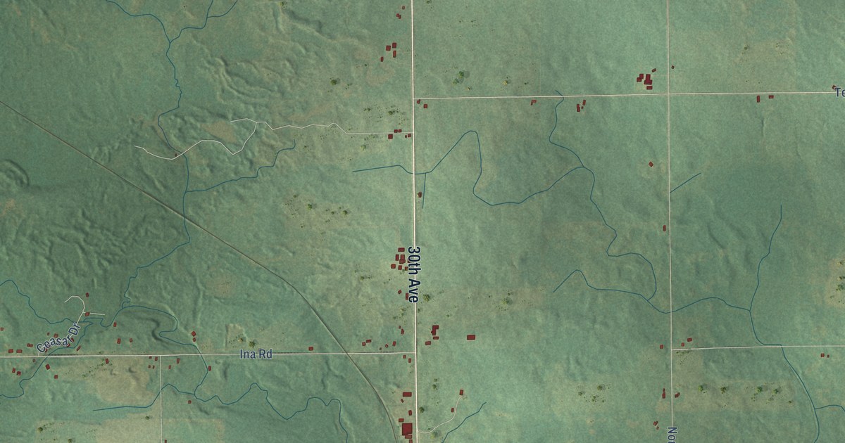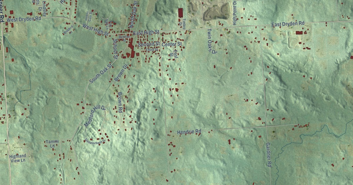
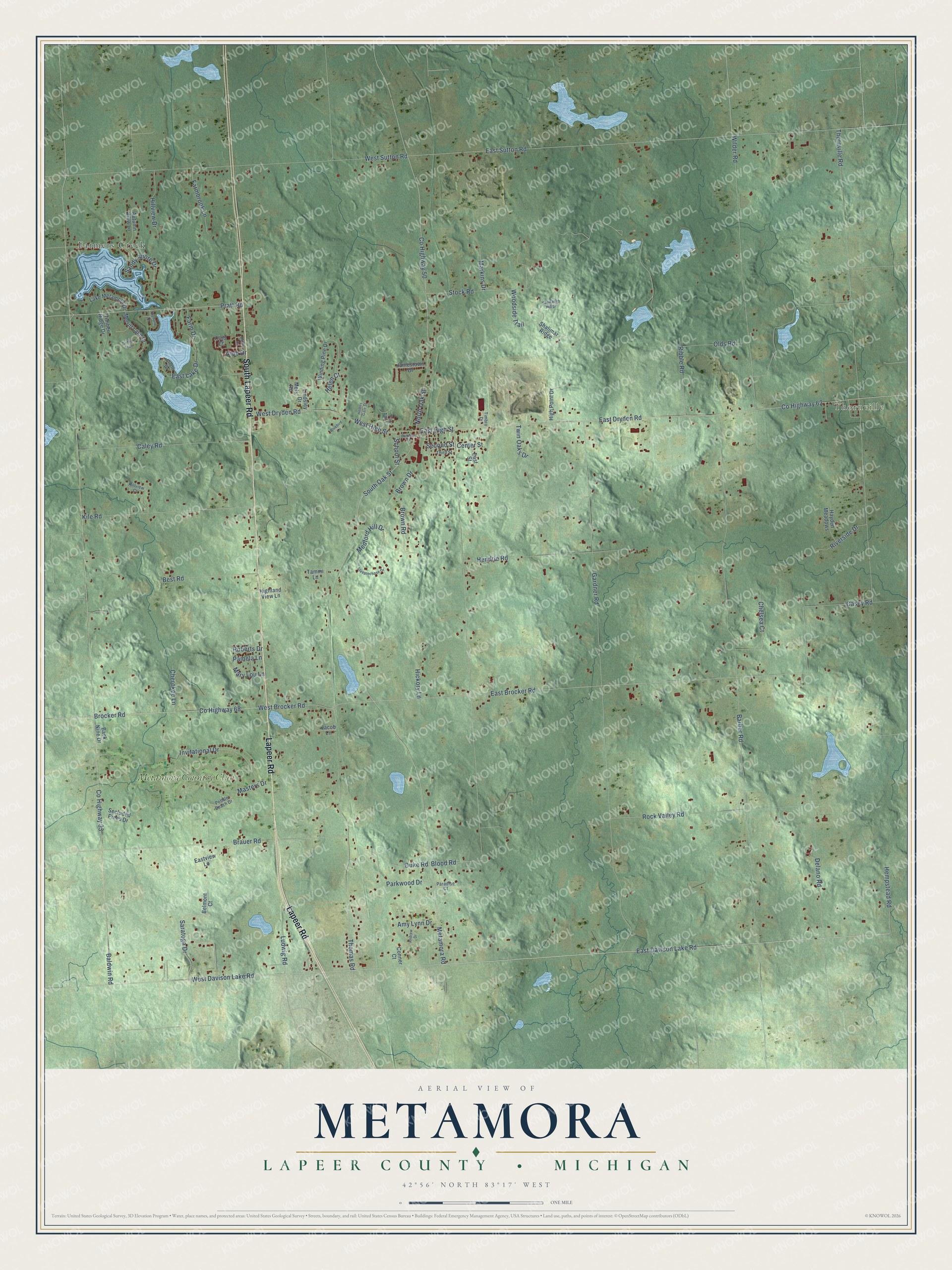
This beautifully detailed map of Metamora, Michigan was created in 2026 using aerial imagery combined with modern topographical, census, street and landmark data. It's a modern aerial view of Metamora in Lapeer County, Michigan, that combines modern data with a vintage aesthetic. The roads feature printed names, and if you look closely you can find your exact house accurately shown in its correct location.
Explore an aerial view of Metamora, Michigan
On this map you'll find Thornville, Farmers Creek, Metamora Country Club, Lapeer Road, South Lapeer Road, Metamora Road, East Davison Lake Road, South Oak Street, East High Street, Brocker Road, Co Highway 68, West High Street, and more. Each red shape is a building, so zoom in on the preview and look for yours.
Metamora has a story worth telling. The History of Lapeer County puts it this way: "The annual report of the school inspectors of the town of Metamora for the year 1882, shows the number of school children to have been 430, number of school buildings, six."
The Census Bureau counted 4,368 people here in 2020.
Take a closer look at the Metamora map
Names on this map
These names are printed on this map.
Places: Thornville, Farmers Creek and Metamora Country Club.
Streets and roads: Lapeer Road, South Lapeer Road, Metamora Road, East Davison Lake Road, South Oak Street, East High Street, Brocker Road, County Highway 68, West High Street, West Brocker Road, North Oak Street, Hempstead Road.
More street names, A to Z
Amy Lynn Drive, Andrew Drive, Autumn View Lane, Back Nine Drive, Baldwin Road, Barber Road, Barrows Street, Belmont Court, Best Road, Blood Road, Bluebird Lane, Brauer Road, Brown Drive, Brown Road, Caley Road, Casey Road, Center Street, Chelsea Court, Cherokee Lane, Circle Drive, Club Court, Club Drive, Conner Court, County Highway 33, County Highway 50, County Highway 62, Delano Road, Duke Road, East Brocker Road, East Dryden Road, East Lake Drive, East Street, East Sutton Road, Eastview Lane, Farmbrook Lane, Farm Drive, Fox Tail Lane, Gardner Road, Griffin Trail, Hawk High Hill Drive, Hayden Meadows, Helen Court, Helens Gate Street, Hendrie Road, Hickory Lane, Highland View Lane, High Point Drive, Hillview Drive, Invitational Drive, Jacob Lane, Jamestown Drive, Kile Road, Lake Metamora Drive, Lindsley Drive, Ludwig Road, Markins Drive, Mary Lou Lane, Masters Drive, Medford Hill Drive, Mels Road, Merritt Lake Drive, Olds Road, Orchard Drive, Pamela Lane, Paradise Court, Parkwood Drive, Pebble Beach Drive, Pratt Road, Ribble Road, Rillview Court, Riverside Drive, Roberts Drive, Rock Valley Road, Sandy Shore Drive, Saratoga Drive, School Street, Secluded Pines Drive, Second Street, Shalimar Ridge, Steeplechase Drive, Stock Road, Tammi Lane, Third Street, Thomas Road, Thornville Road, Timber Ridge Drive, Timbro Drive, Twin Oaks Drive, Valley Drive, West Davison Lake Road, West Dryden Road, West Sutton Road, Wilder Road, Winding Pine Drive, Woodside Trail.
Created by KNOWOL in 2026. The buildings are small red shapes, the roads carry their printed names, and shaded relief shows the shape of the land. The title panel reads "AERIAL VIEW OF METAMORA, LAPEER COUNTY • MICHIGAN" with 42°56' NORTH 83°17' WEST.
It looks right in a kitchen, an office or a den, and it's a gift for anyone who grew up in Metamora or moved away. Open the preview and find your street. See sizes and frames for the Metamora, Lapeer County map.