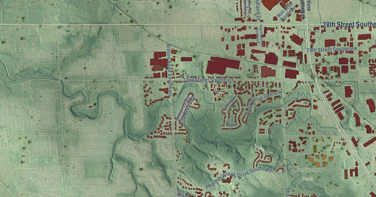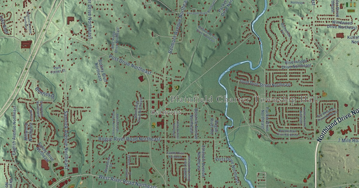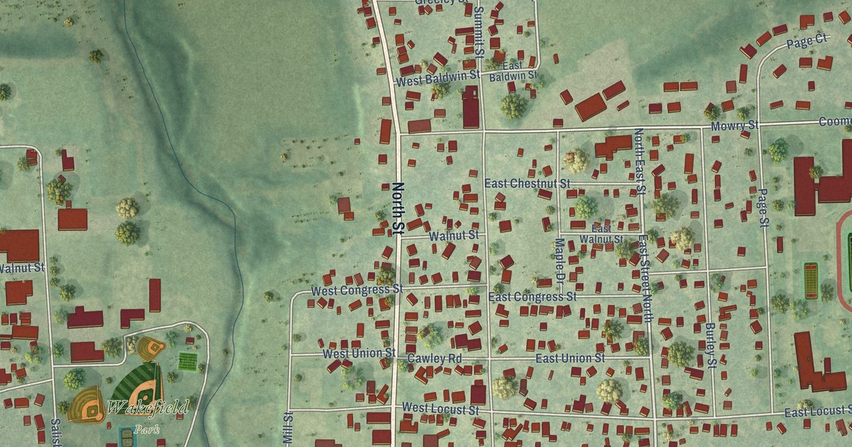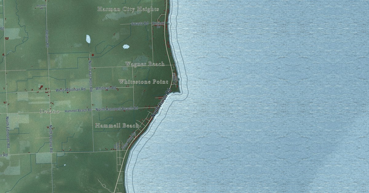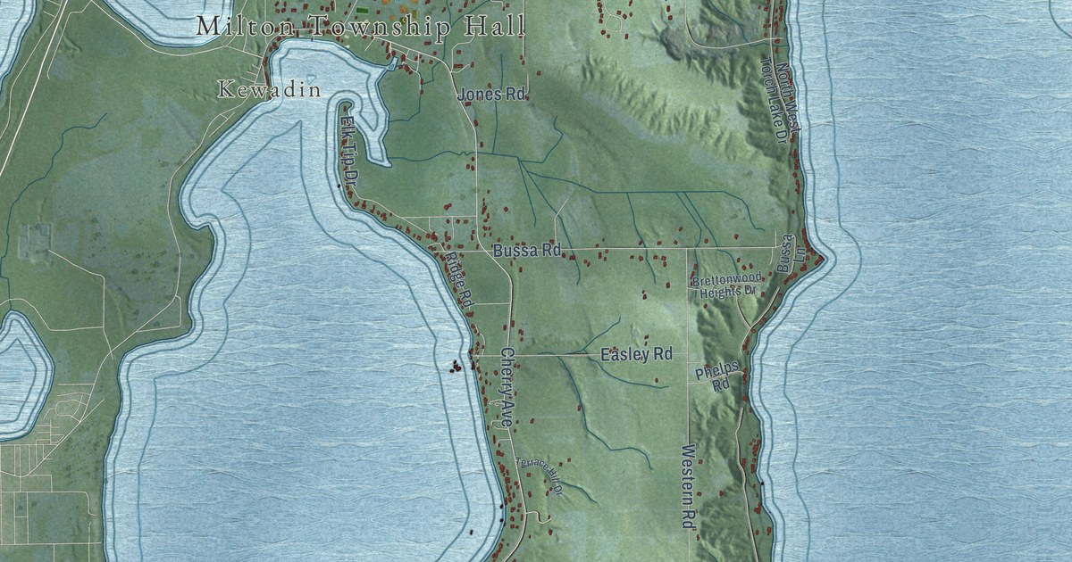
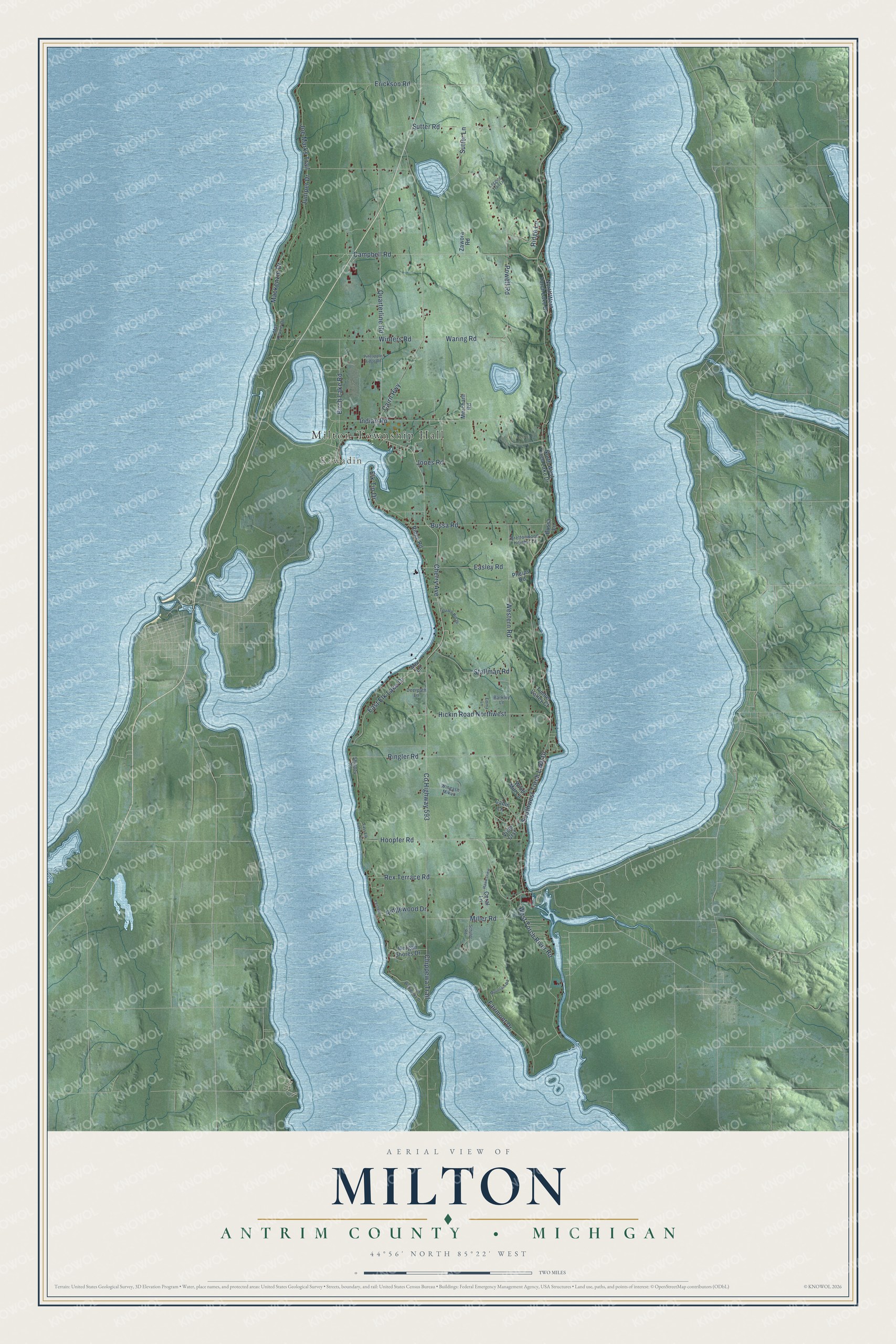
This beautifully detailed map of Milton, Michigan was created in 2026 using aerial imagery combined with modern topographical, census, street and landmark data. It's a modern aerial view of Milton in Antrim County, Michigan, that combines modern data with a vintage aesthetic. The roads feature printed names, and if you look closely you can find your exact house accurately shown in its correct location.
Explore an aerial view of Milton, Michigan
On this map you'll find Milton Township Hall, Kewadin, Campbell Road, Waring Road, Co Highway 593, Cherry Avenue, Cairn Highway, Southwest Torch Lake Drive, Quarterline Road, Western Road, Indian Road, West Torch River Road, and more. Each red shape is a building, so zoom in on the preview and look for yours.
Milton has a story worth telling. The History of Northern Michigan and Its People puts it this way: "The town of Milton was organized by the board of supervisors of Grand Traverse county at a meeting held March 3, 1857. In 1865, two years after the organization of Antrim county, the town of Milton was changed to Helena and a new township was created under the original name."
The Census Bureau counted 2,355 people here in 2020.
Take a closer look at the Milton map
Names on this map
These names are printed on this map.
Places: Milton Township Hall and Kewadin.
Streets and roads: Campbell Road, Waring Road, County Highway 593, Cherry Avenue, Cairn Highway, Southwest Torch Lake Drive, Quarterline Road, Western Road, Indian Road, West Torch River Road, Erickson Road, Sutter Road.
More street names, A to Z
Barkley Lane, Birch Lake Road, Brettonwood Heights Drive, Bussa Lane, Bussa Road, Cabin Lane, Chippewa Trail, Coral Lane, Deerpath Lane, Easley Road, East Elk Lake Drive, East Elk Lake Trail, Elk Tip Drive, Emma Lane, Fairlane, Fairmont Drive, Hawksview, Hickin Road Northwest, Hoopfer Road, Joe Marks Trail, Jones Road, Juniper Drive, Logging Trail Lane, Mackenzie Drive, Mac Kenzie Drive, Merchant Road, Miller Road, Morgan Shores Drive, Mor Lane, Mountain Road, North West Torch Lake Drive, Phelps Road, Pineapple Ridge Road, Powell Road, Rex Terrace Road, Ridge Lane, Ridge Road, Ridgewood Drive, Ringler Road, Schuler Road, Shippey Road, South Wabigama Drive, Stallman Road, Sutter Lane, Terrace Hill Drive, Timber Valley Court, Vista Crst, Wind Mill Lane, Wingash Mikun, Winters Road, Zawora Road.
Created by KNOWOL in 2026. The buildings are small red shapes, the roads carry their printed names, and shaded relief shows the shape of the land. The title panel reads "AERIAL VIEW OF MILTON, ANTRIM COUNTY • MICHIGAN" with 44°56' NORTH 85°22' WEST.
It looks right in a kitchen, an office or a den, and it's a gift for anyone who grew up in Milton or moved away. Open the preview and find your street. See sizes and frames for the Milton, Antrim County map.