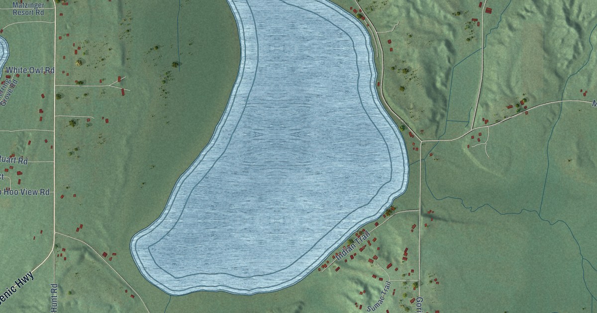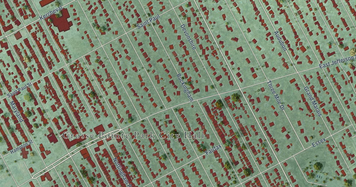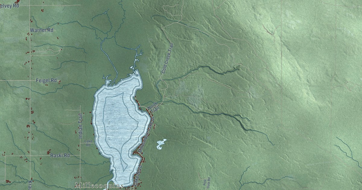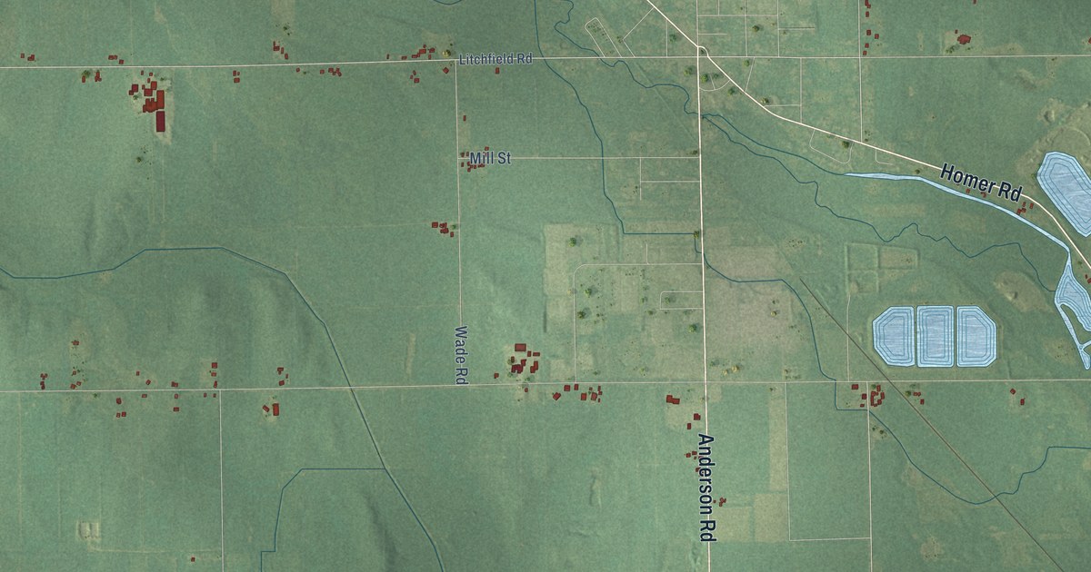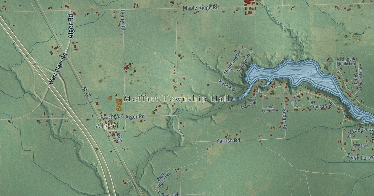
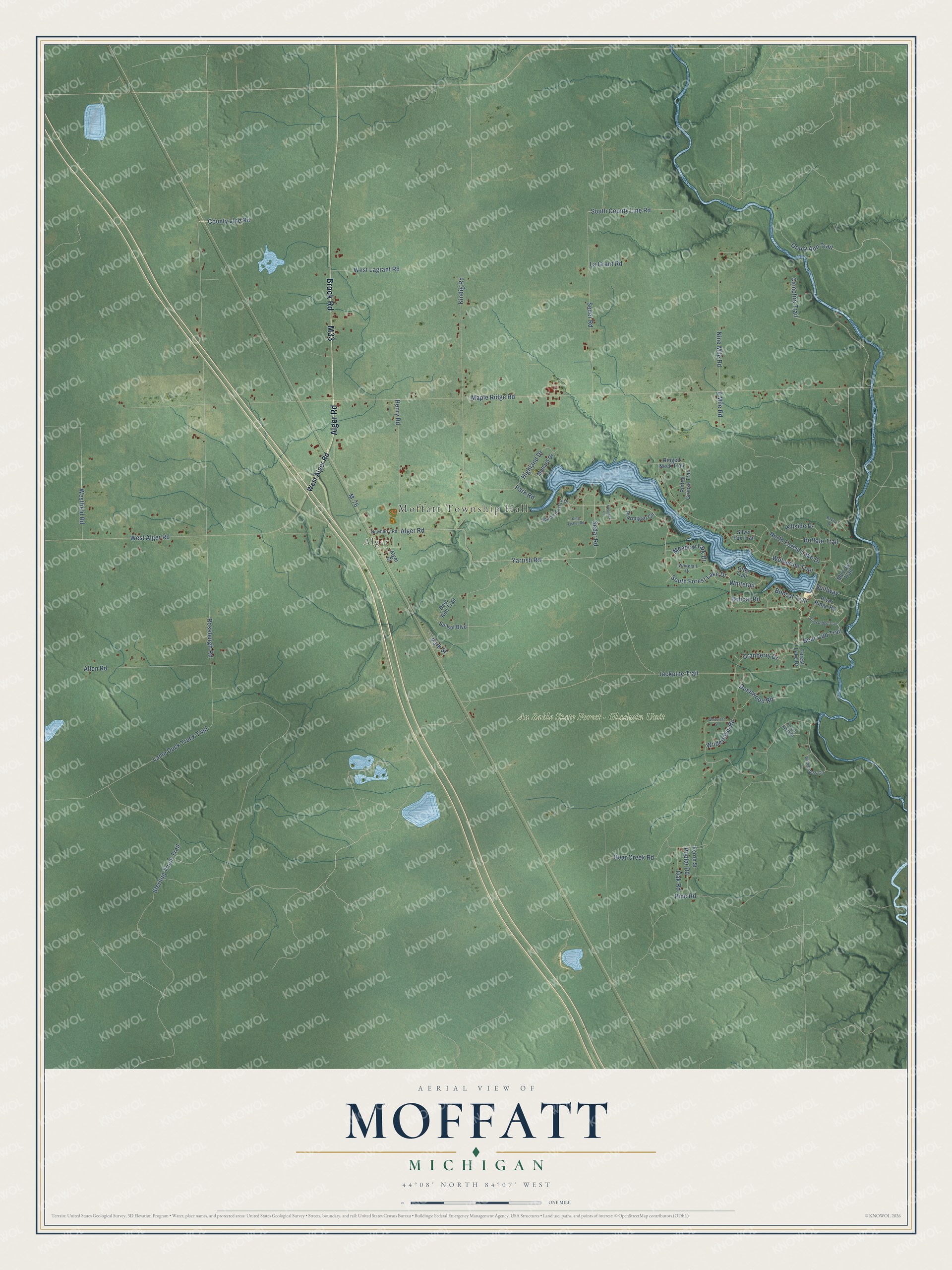
This beautifully detailed map of Moffatt, Michigan was created in 2026 using aerial imagery combined with modern topographical, census, street and landmark data. It's a modern aerial view of Moffatt in Arenac County, Michigan, that combines modern data with a vintage aesthetic. The roads feature printed names, and if you look closely you can find your exact house accurately shown in its correct location.
Explore an aerial view of Moffatt, Michigan
On this map you'll find Moffatt Township Hall, Alger, Au Sable State Forest – Gladwin Unit, Alger Road, Brock Road, M33, South Forest Lake Drive, Yarrish Road, Sedar Road, Bear Cub Trail, Kindig Road, Westfield Road, and more. Each red shape is a building, so zoom in on the preview and look for yours.
Moffatt has a story worth telling. The History of Bay County puts it this way: "Clayton township was also organized in February, 1870, while Deep River and Standish were organized by act of the Legislature in February, 1873, Moffatt and Mason by the Board of Supervisors in 1874."
The Census Bureau counted 1,166 people here in 2020.
Take a closer look at the Moffatt map
Names on this map
These names are printed on this map.
Places: Moffatt Township Hall, Alger and Au Sable State Forest - Gladwin Unit.
Streets and roads: Alger Road, Brock Road, M33, South Forest Lake Drive, Yarrish Road, Sedar Road, Bear Cub Trail, Kindig Road, Westfield Road, Roseburgh Road, South County Line Road, Whitetail.
More street names, A to Z
9 Mile Road, Alger Court, Allen Road, Bear Creek Road, Blue Jay Trail, Bobcat Road, Bobcat Trail, Buffalo Trail, Campfire Trail, County Line Road, Cranberry Drive, Deepwood Road, Deer Run Trail, Forest Lake Drive, Forest Ridge Court, Gracy Ann Trail, Henry Road, Highland Drive, Hillside Drive, Jackpine Trail, King Fisher Road, La Grant Road, Lame Duck Truck Trail, M-76, Mallard Drive, Maple Ridge Road, Meadow Lark Drive, Newberry Road, Nine Mile Road, North Forest Lake Drive, Oak Road, Otter Trail, Park Road, Park Street, Peacock Circle, Perrin Street, Pine Road, Poplar Road, Ptarmigan Circle, Ravine Drive, Ringed Neck Trail, River Ridge Road, River Ridge Trail, Ruffed Grouse Trail, Seder Road, Silver Fox Trail, South Forest Lk Drive, Spillway, Sterling Truck Trail, Sunset Boulevard, West Alger Road, West Lagrant Road, Whitetail Drive, Wilderness Circle, Wilderness Road, Winterset Street, Wolverine Trail.
Created by KNOWOL in 2026. The buildings are small red shapes, the roads carry their printed names, and shaded relief shows the shape of the land. The title panel reads "AERIAL VIEW OF MOFFATT, MICHIGAN" with 44°08' NORTH 84°07' WEST.
It looks right in a kitchen, an office or a den, and it's a gift for anyone who grew up in Moffatt or moved away. Open the preview and find your street. See sizes and frames for the Moffatt map.