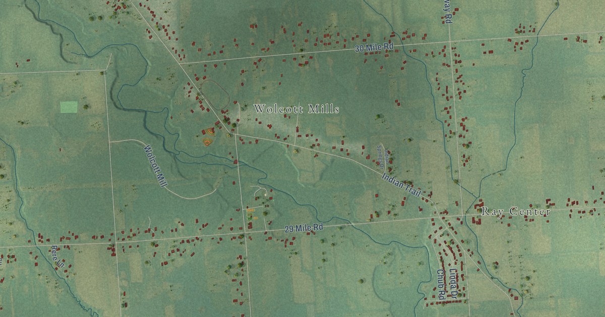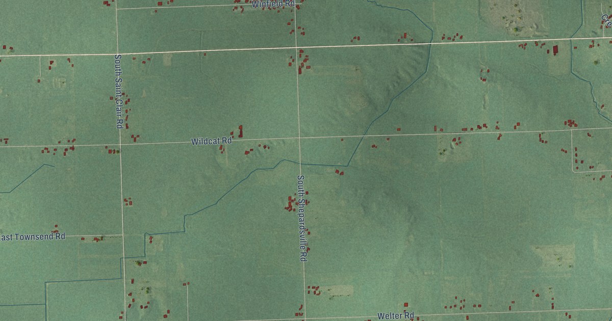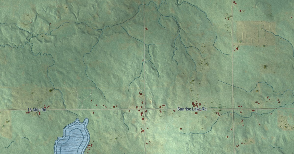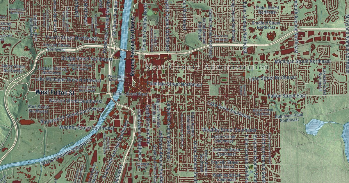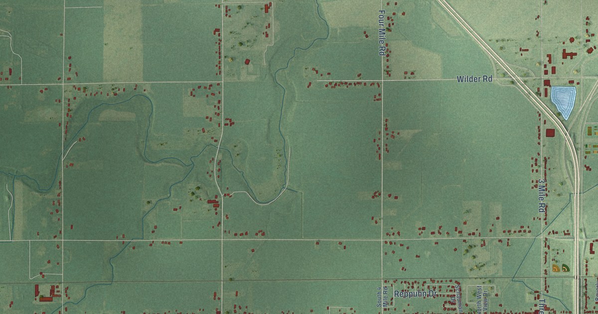
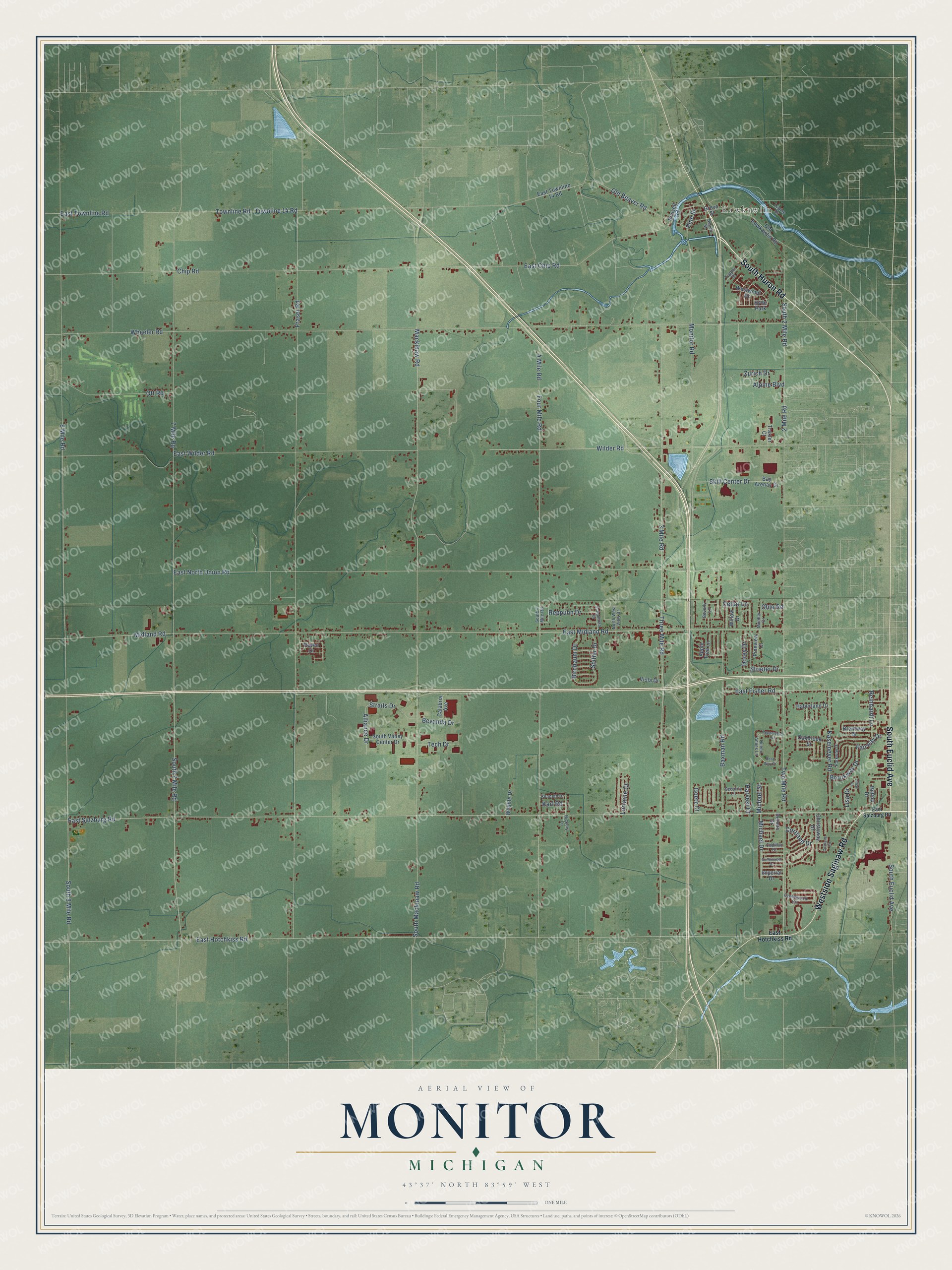
This beautifully detailed map of Monitor, Michigan was created in 2026 using aerial imagery combined with modern topographical, census, street and landmark data. It's a modern aerial view of Monitor in Bay County, Michigan, that combines modern data with a vintage aesthetic. The roads feature printed names, and if you look closely you can find your exact house accurately shown in its correct location.
Explore an aerial view of Monitor, Michigan
On this map you'll find Kawkawlin, South Huron Road, South Euclid Avenue, Westside Saginaw Road, East Salzburg Road, South 2 Mile Road, Four Mile Road, East Hotchkiss Road, East Wilder Road, Pine Street, Midland Road, Old Beaver Road, and more. Each red shape is a building, so zoom in on the preview and look for yours.
Here is a piece of Monitor history, in the words of the record. The Internet Archive puts it this way: "A number of those Germans settled upon land now in Monitor, and
were the first settlers of the township."
The Census Bureau counted 10,687 people here in 2020.
Take a closer look at the Monitor map
Names on this map
These names are printed on this map.
Places: Kawkawlin and Hyde Park.
Streets and roads: South Huron Road, South Euclid Avenue, Westside Saginaw Road, East Salzburg Road, South 2 Mile Road, Four Mile Road, East Hotchkiss Road, East Wilder Road, Pine Street, Midland Road, Old Beaver Road, Strieter Drive.
More street names, A to Z
2 Mile Road, 3 Mile Road, 4 Mile Road, 7 Mile Road, 8 Mile Road, Alliance Drive, Alpine Boulevard, Apple Tree Lane, Baxman Road, Bay Arenac Drive, Beech Street, Bevanda Drive, Beverly Lane, Birnbaum Drive, Brentway Drive, Brookway Drive, Cadillac Drive, Calabria Avenue, Cedar Lane, Chip Road, Christyway Drive, Continental Drive, Cortland Circle, Cortland Drive, Creekwood Circle, Dennis Drive, Dorey Drive, East Chip Road, East Fisher Road, East Midland Road, East North Union Road, East Townline 14 Road, East Townline Road, Fairway Drive, Fraser Road, Goetz Court, Grove Street, Haberland Drive, Harvest Court, Hickory Lane, Hilltop Drive, Imperial Drive, Jillian Drive, Karl Road, Kasemeyer Road, Kenneth Drive, Lisa Drive, Lorraine Court, Lupine Drive, Mackinaw Road, Michael Drive, Michael Street, Moeller Drive, Monitor Road, North West View Drive, Oakbrook Street, Ohio Road, Old Kawkawlin Road, Ott Road, Parkway Drive, Pepperberry Drive, Pineview Court, Queen Annes Lane, Raven Drive, Reinhardt Lane, Reppuhn Drive, Rose Way Drive, Russell Road, Schauman Drive, Security Lane, Skill Center Drive, South 4 Mile Road, South 7 Mile Road, South 8 Mile Road, South Mackinaw Road, South Valley Center Drive, Spitler Drive, Straits Drive, Tech Drive, Three Mile Road, Townline 14 Road, Townline Road, Traxler Court, Tupper Drive, Two Mile Road, Viola Drive, Westwood Drive, Wheeler Road, Wilder Road, Wildlife Drive, Willow Drive, Zurich Drive.
Created by KNOWOL in 2026. The buildings are small red shapes, the roads carry their printed names, and shaded relief shows the shape of the land. The title panel reads "AERIAL VIEW OF MONITOR, MICHIGAN" with 43°37' NORTH 83°59' WEST.
It suits a den, a classroom or a front hall, and it makes a gift for anyone with Monitor roots. Open the preview and find the block you know. See sizes and frames for the Monitor map.