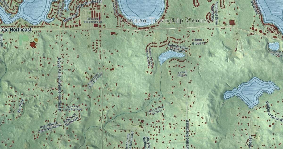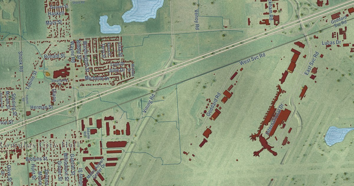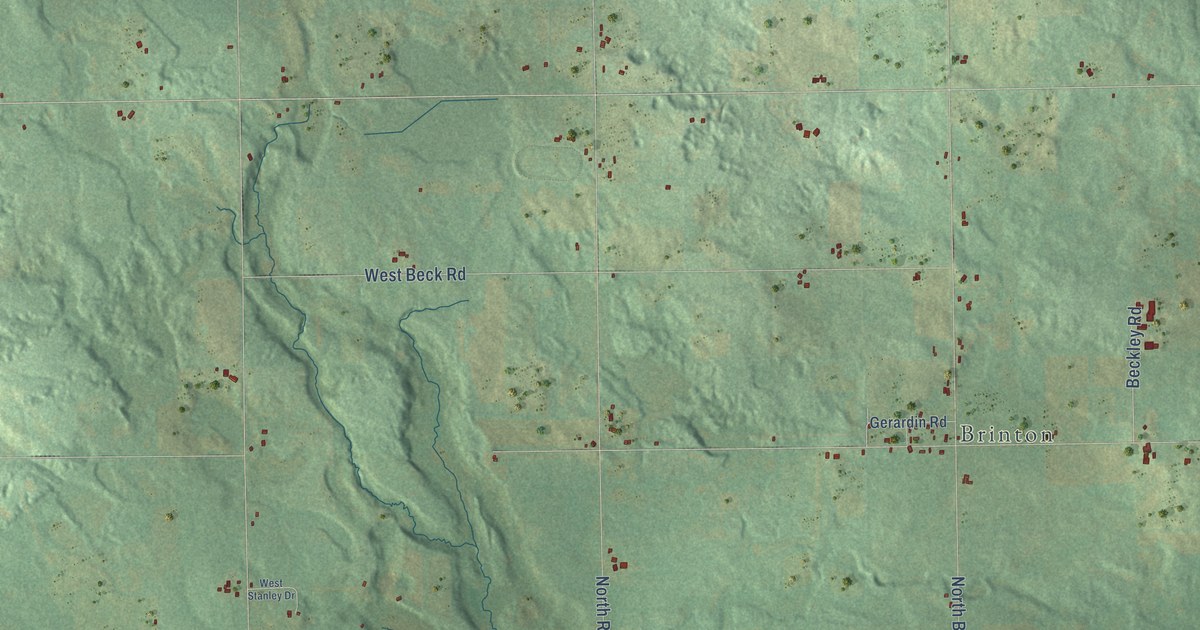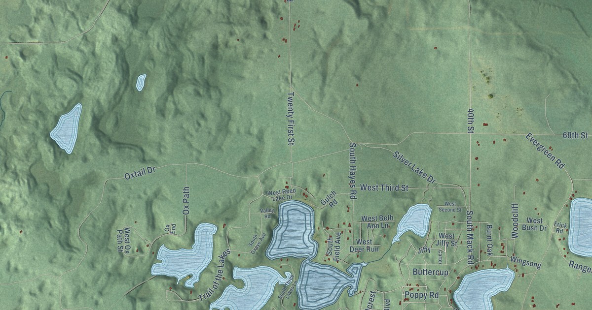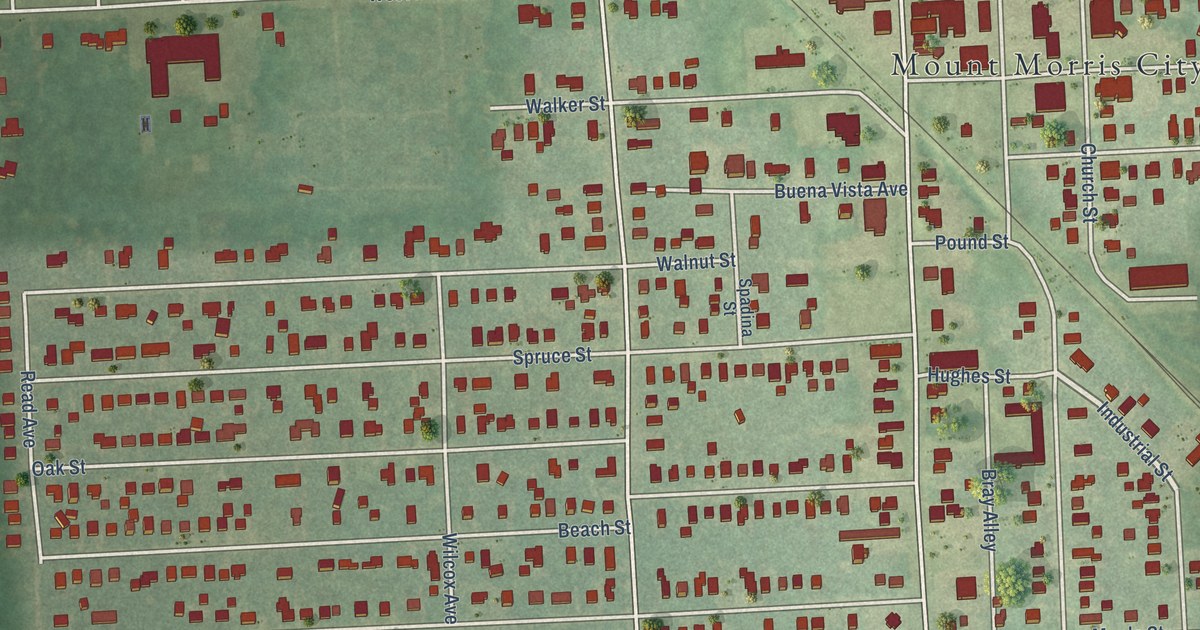
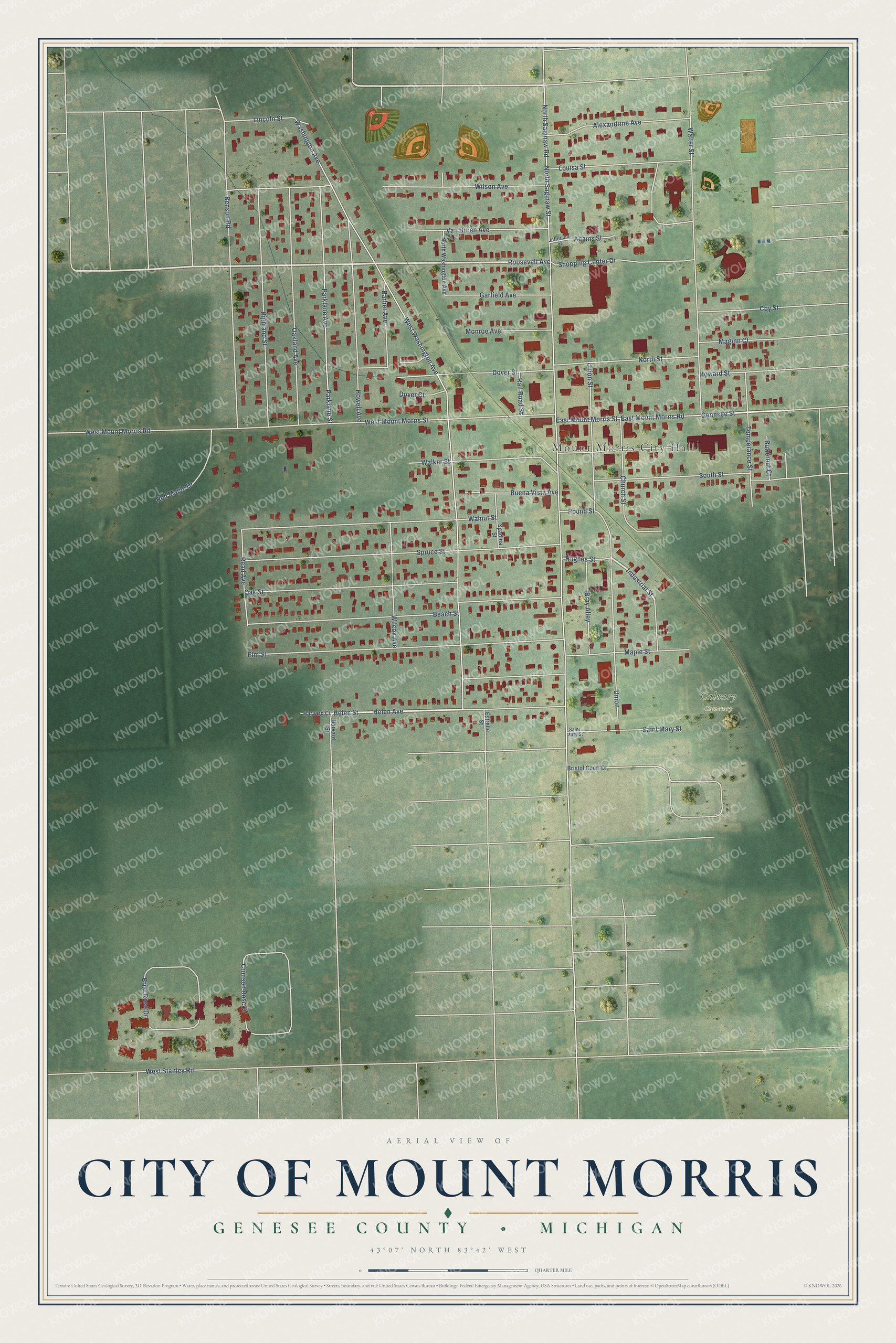
This beautifully detailed map of Mount Morris, Michigan was created in 2026 using aerial imagery combined with modern topographical, census, street and landmark data. It's a modern aerial view of Mount Morris in Genesee County, Michigan, that combines modern data with a vintage aesthetic. The roads feature printed names, and if you look closely you can find your exact house accurately shown in its correct location.
Explore an aerial view of Mount Morris, Michigan
On this map you'll find Mount Morris City Hall, Calvary Cemetery, Helen Avenue, Genesee Street, Roosevelt Avenue, Industrial Street, North Saginaw Road, North Saginaw Street, Washington Avenue, West Washington Avenue, Union Street, Benson Road, and more. Each red shape is a building, so zoom in on the preview and look for yours.
Every town has a first chapter, and Mount Morris is no exception. The History of Genesee County puts it this way: "Frederick Walker, a native of England, came from Dutchess Co., N. Y., in October, 1836, and settled upon the present site of the village of Mount Morris, being the first settler in that vicinity."
Mount Morris is a city in Genesee County. The Census Bureau counted 3,170 people here in 2020.
Take a closer look at the Mount Morris map
Names on this map
These names are printed on this map.
Places: Mount Morris City Hall and Calvary Cemetery.
Streets and roads: Helen Avenue, Genesee Street, Roosevelt Avenue, Industrial Street, North Saginaw Road, North Saginaw Street, Washington Avenue, West Washington Avenue, Union Street, Benson Road, West Mount Morris Street, Spruce Street.
More street names, A to Z
Adams Street, Alexandrine Avenue, Barber Avenue, Beach Street, Bray Alley, Briar Rose Drive, Bristol Court Drive, Buena Vista Avenue, Butternut Court, Church Street, Coy Street, Crimson Rose Drive, Dover Court, Dover Street, East Mount Morris Road, East Mount Morris Street, Elm Street, Estrelle Street, Garfield Avenue, Harvard Court, Harvard Street, Helen Street, Highland Street, Howard Street, Howell Avenue, Hughes Street, Jefferson Street, Lincoln Street, Louisa Street, Maginn Court, Maple Street, Monroe Avenue, North Street, North Washington Avenue, Oakland Avenue, Oak Street, Parklane Avenue, Parklane Street, Pound Street, Rail Road Street, Read Avenue, Red Maple Drive, Saint Mary Street, Shopping Center Drive, South Street, Spadina Street, Temperance Street, Union, Van Buren Avenue, Walker Street, Walnut Street, Walter Street, West Mount Morris Road, West Stanley Road, Wilcox Avenue, Wilson Avenue.
See it on a wall
The Mount Morris map as a framed print. Swipe for more.


Created by KNOWOL in 2026. The buildings are small red shapes, the roads carry their printed names, and shaded relief shows the shape of the land. The title panel reads "AERIAL VIEW OF CITY OF MOUNT MORRIS, GENESEE COUNTY • MICHIGAN" with 43°07' NORTH 83°42' WEST.
Hang it in the hallway, the office or the cabin, or give it to someone who left Mount Morris and still calls it home. Open the preview and look for a street you know. See sizes and frames for the Mount Morris map.