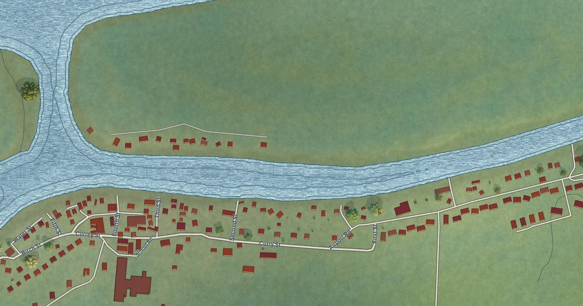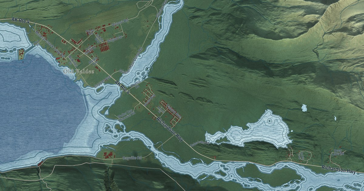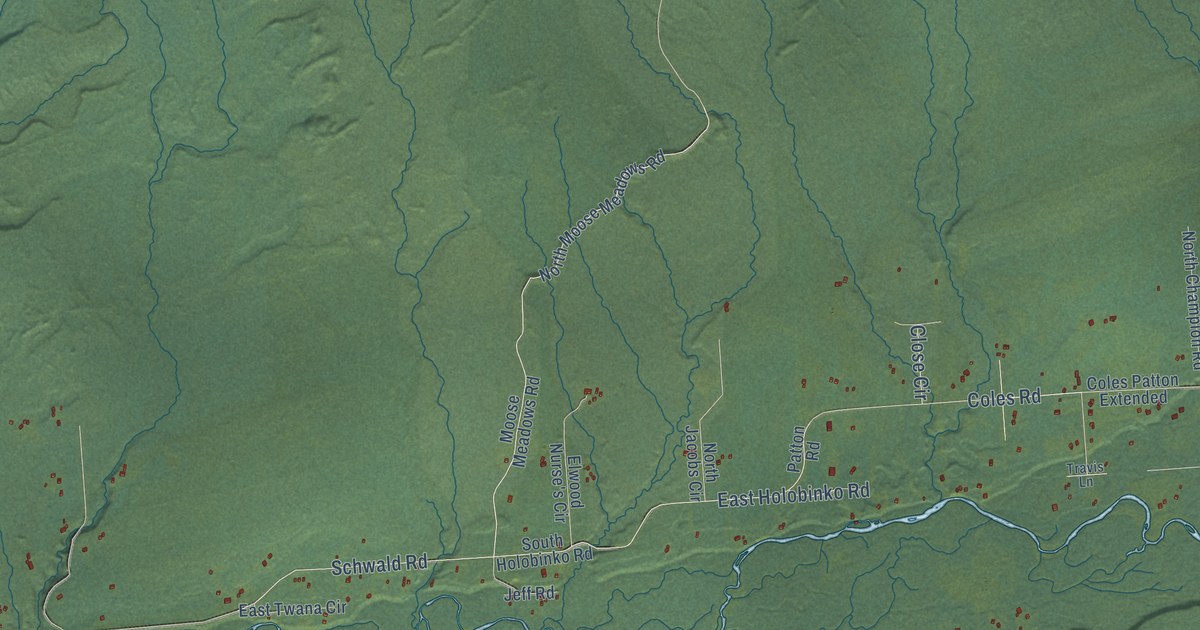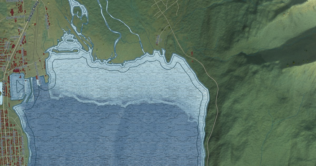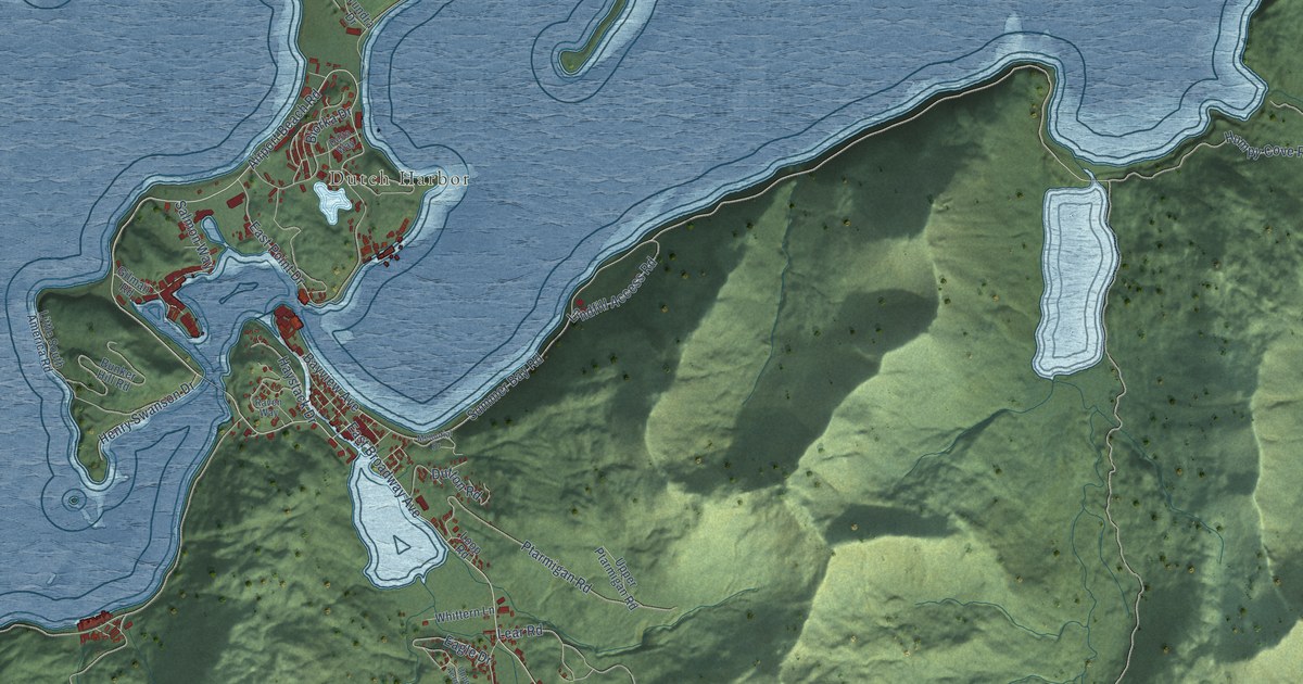
This beautifully detailed map of Unalaska, Alaska was created in 2026 using aerial imagery combined with modern topographical, census, street and landmark data. It's a modern aerial view of Unalaska in Aleutians West Census Area, Alaska, that combines modern data with a vintage aesthetic. The roads feature printed names, and if you look closely you can find your exact house accurately shown in its correct location.
Explore an aerial view of Unalaska, Alaska
On this map you'll find Dutch Harbor, East Broadway Avenue, Airport Beach Road, Summer Bay Road, Bayview Avenue, Overland Drive, Captains Bay Road, Ballyhoo Road, Pyramid Creek Road, Morris Cove Road, Humpy Cove Road, East Point Drive, and more. Each red shape is a building, so zoom in on the preview and look for yours.
Every town has a first chapter, and Unalaska is no exception. the National Park Service puts it this way: "The Church of the Holy Ascension is located on the Island of Unalaska, approximately halfway along the Aleutian archipelago in the Bering Sea. The site represents Russian missionary activities in the area and is also associated with the career of the first resident Orthodox Bishop of Alaska."
Unalaska is a city in Aleutians West Census Area. The Census Bureau counted 4,254 people here in 2020.
Take a closer look at the Unalaska map
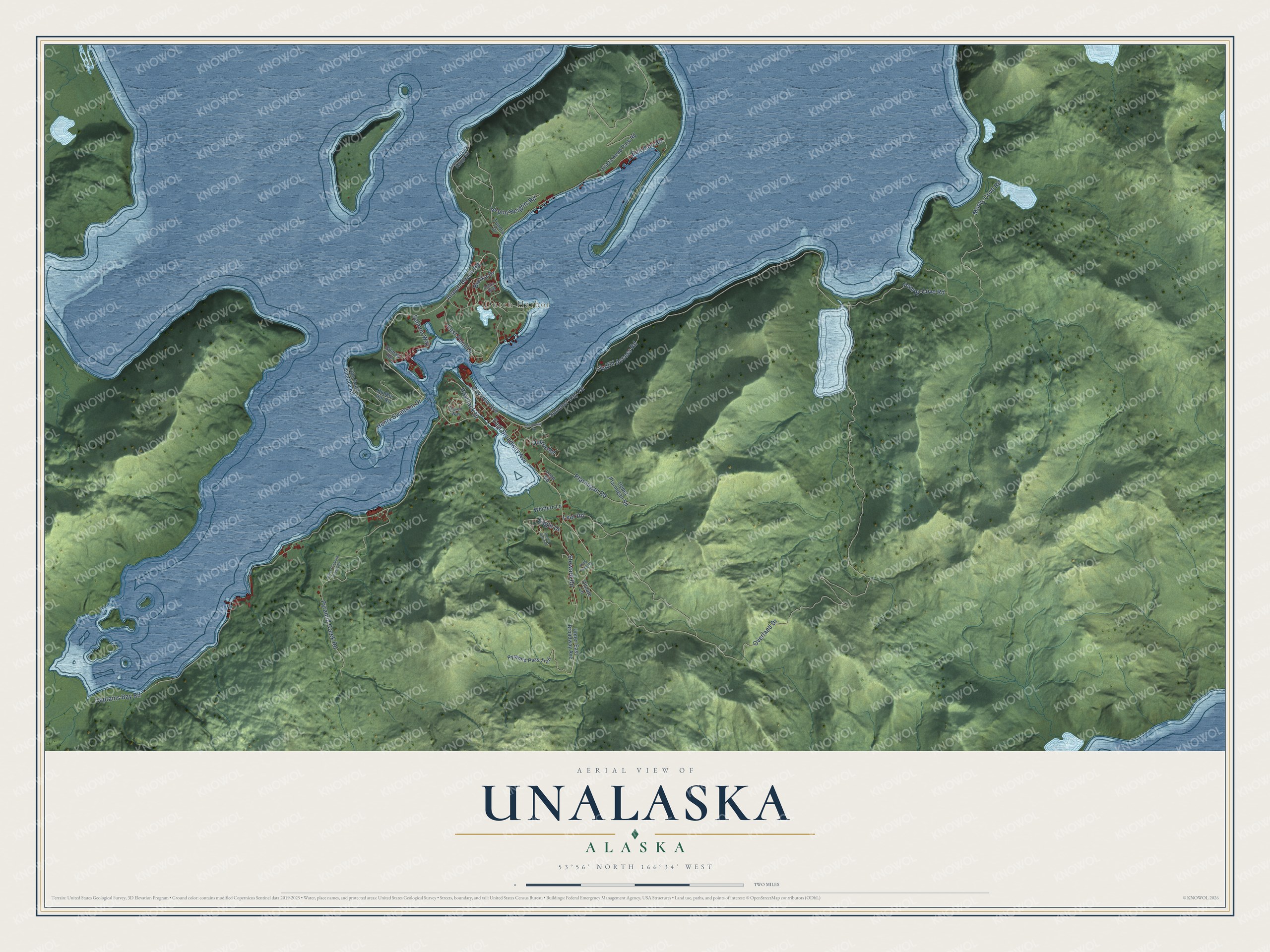
Names on this map
These names are printed on this map.
Places: Dutch Harbor.
Streets and roads: East Broadway Avenue, Airport Beach Road, Summer Bay Road, Bayview Avenue, Overland Drive, Captains Bay Road, Ballyhoo Road, Pyramid Creek Road, Morris Cove Road, Humpy Cove Road, East Point Drive, Ptarmigan Road.
More street names, A to Z
Airport Access Range Road, Airport Heights Road, Biorka Drive, Bunker Hill Road, Choate Lane, Delta Way, Dutton Road, Eagle Drive, Gilman Road, Haystack Drive, Henry Swanson Drive, Kelty Field Road, Landfill Access Road, Lear Road, Little South America Road, Loop Road, Lower Pyramid Creek Road, Memorial Drive, Pyramid Pass Trail, Raven Way, Salmon Way, Steward Road, Tundra Drive, Ulakta Head Park Road, Upper Aerie Drive, Upper East Broadway Avenue, Upper Ptarmigan Road, Whittern Lane.
Created by KNOWOL in 2026. The buildings are small red shapes, the roads carry their printed names, and shaded relief shows the shape of the land. The title panel reads "AERIAL VIEW OF UNALASKA, ALASKA" with 53°56' NORTH 166°34' WEST.
Hang it in the hallway, the office or the cabin, or give it to someone who left Unalaska and still calls it home. Open the preview and look for a street you know. See sizes and frames for the Unalaska map.