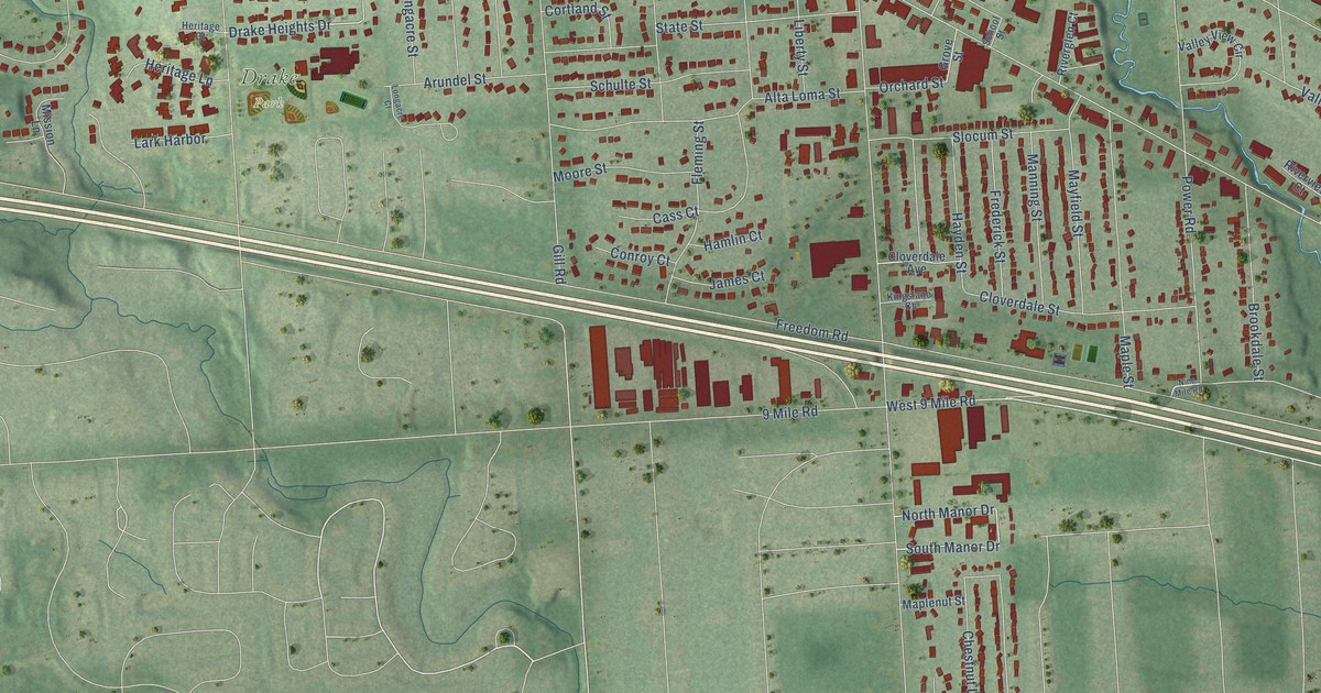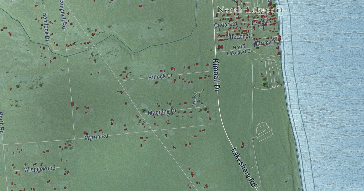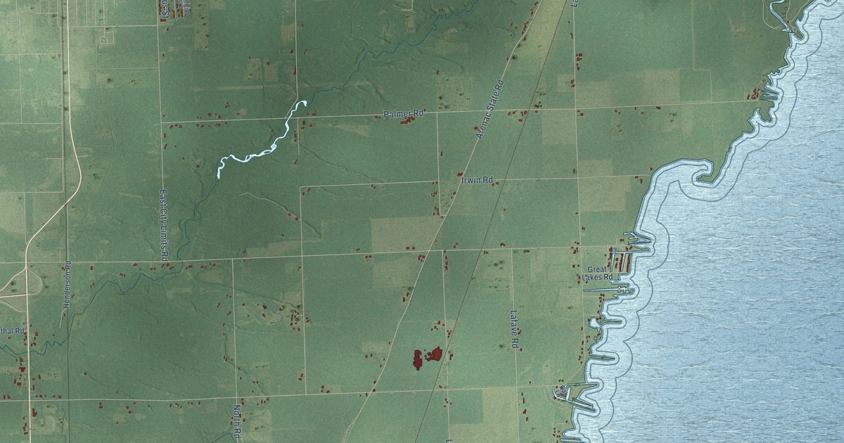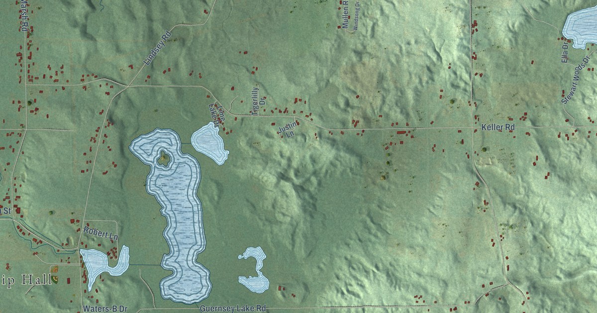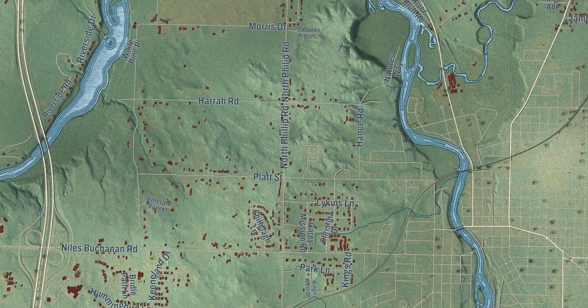
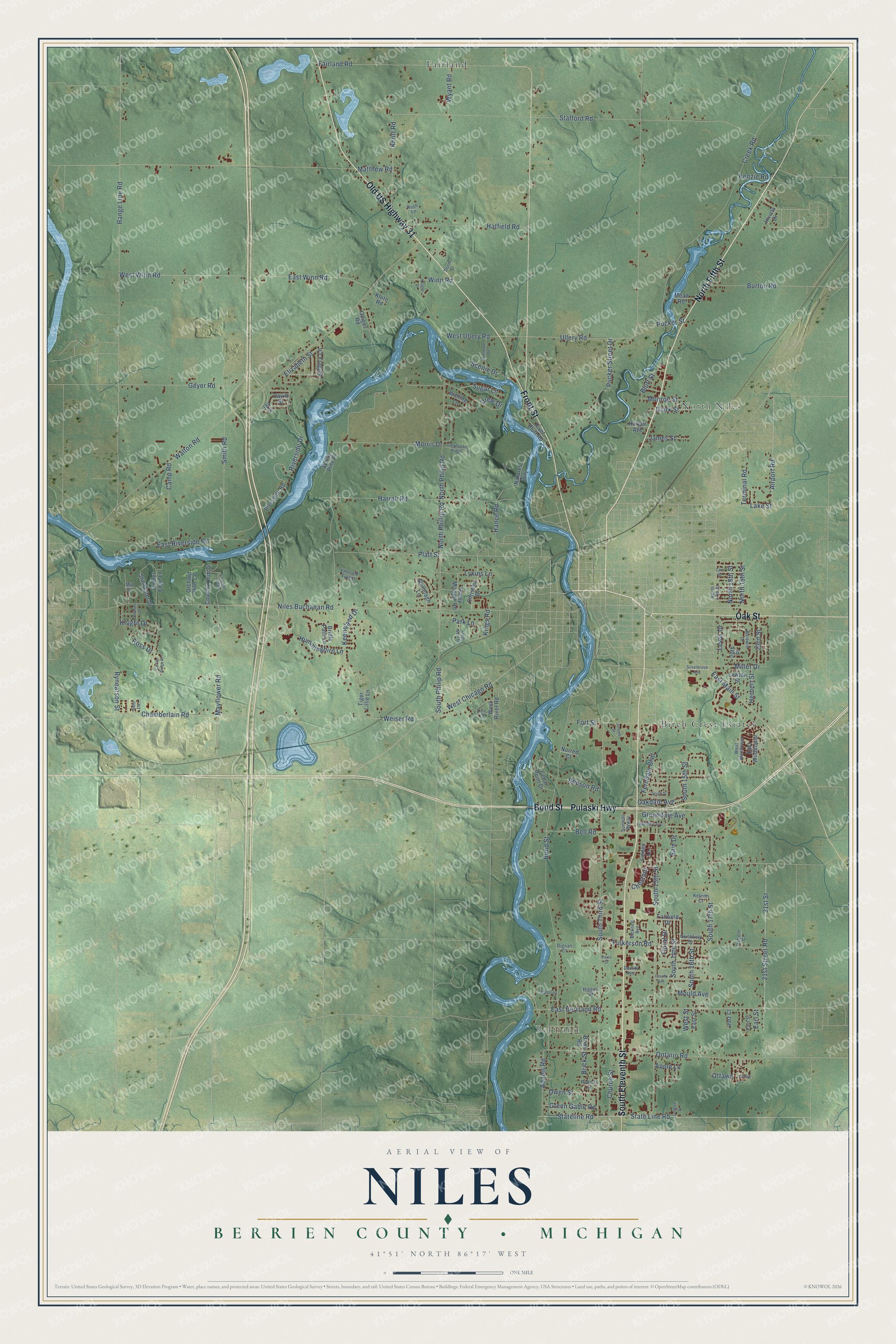
This beautifully detailed map of Niles, Michigan was created in 2026 using aerial imagery combined with modern topographical, census, street and landmark data. It's a modern aerial view of Niles in Berrien County, Michigan, that combines modern data with a vintage aesthetic. The roads feature printed names, and if you look closely you can find your exact house accurately shown in its correct location.
Explore an aerial view of Niles, Michigan
On this map you'll find Bertrand, North Niles, Birch Crest Estates, Fairland, North Fifth Street, South Eleventh Street, Old US Highway 31, Pulaski Highway, Bond Street, Front Street, Oak Street, Fort Street, and more. Each red shape is a building, so zoom in on the preview and look for yours.
Here is a piece of Niles history, in the words of the record. The Twentieth Century History of Berrien County puts it this way: "October 29, 1829, the county of Berrien was organized with its present limits, but on November 5, 1829, it was erected into the township of Niles and attached to Cass county."
The Census Bureau counted 14,417 people here in 2020.
Take a closer look at the Niles map
Names on this map
These names are printed on this map.
Places: Bertrand, North Niles, Birch Crest Estates and Fairland.
Streets and roads: North Fifth Street, South Eleventh Street, Old US Highway 31, Pulaski Highway, Bond Street, Front Street, Oak Street, Fort Street, East Main Street, Niles Buchanan Road, Airport Road, East Bertrand Road.
More street names, A to Z
20th Place, 21st Street, 21st Street Road, 23rd Street, Adams Road, Apple Lane, Baldwin Drive, Beeson Road, Bell Road, Bicknell Avenue, Bluff Street, Brick Road, Brick Street, Bridle Path Lane, Burton Road, Camp Road, Carey Mission Road, Cass Street, Cedar Point Drive, Chamberlain Road, Chestnut, Christina Drive, Church Street, Circle Ridge Drive, Clark Street, College Street, Country Club Drive, Creek Road, David Street, Davis Street, Dewitt Avenue, Dignan Court, Drew Drive, Durm Street, Earl Street, East Riverside Road, East Street, East Wildflower, East Winn Road, Elizabeth Street, Emerald Forest, Fairfield Drive, Fairland Road, Ferndale Boulevard, Floral Drive, Fulkerson Road, Geiger Road, Geyer Road, Golf Lane, Greendale Avenue, Green Gable Road, Greyhawke Ridge, Hance Road, Harger Avenue, Harrah Road, Hatfield Road, Herbert Street, Higgins Street, Holmes Drive, Hummingbird Lane, Inez Court, Invicta Drive, James Street, Jay Street, Jeffery Lane, Jerome Street, Keeneland Drive, Kelems Court, Kenzie Road, Kings Road, Kings West Drive, Klute Road, Knight Drive, Knott Road, Kruger Drive, Lake Street, Lasalle Avenue, Laughlin Lodge, Lawndale Avenue, Lawton Street, Lewis Drive, Linden Lane, Lykins Lane, Madeline, Matthew Road, Mayflower Road, Mead Road, Mid Street, Miller Drive, Monroe Street, Morris Drive, Mould Avenue, Natures Way, Niagra, Norred Court, North 17th Street, North 18th Street, North 19th Street, Northfield Drive, North Philip Road, North Phillip Road, Oakdale Avenue, Ontario Road, Orchard Hills CC, Osborn Court, Otis Drive, Ottawa, Owen Street, Park Lane, Paul Street, Platt Street, Pritchard Drive, Pucker Street, Pucker Street Drive, Range Line Road, River Bluff Road, Riverside Drive, Riverside Road, Roberts Street, Ross Drive, Rush Lane, Rynearson Street, Sain Drive, Scenic Drive, Shillelagh Lane, Silverbrook Avenue, Smith Road, South 13th Street, South 14th Street, South 15th Street, South 16th Street, South 17th Street, South Philip Road, South Street, South Third Street, Stafford Road, State Line Road, Stateline Road, Still Water Drive, Sugar Lane, Sunside Byway, Terminal Road, Tiger Lillie Lane, Timber Edge Lane, Ullery Road, Walling Lane, Walton Road, Weiser Road, West Chicago Road, West River Road, West Street, West Ullery Road, West Wildflower, West Winn Road, White Pine Place, Winn Road, Wyant Road.
Created by KNOWOL in 2026. The buildings are small red shapes, the roads carry their printed names, and shaded relief shows the shape of the land. The title panel reads "AERIAL VIEW OF NILES, BERRIEN COUNTY • MICHIGAN" with 41°51' NORTH 86°17' WEST.
It suits a den, a classroom or a front hall, and it makes a gift for anyone with Niles roots. Open the preview and find the block you know. See sizes and frames for the Niles, Berrien County map.