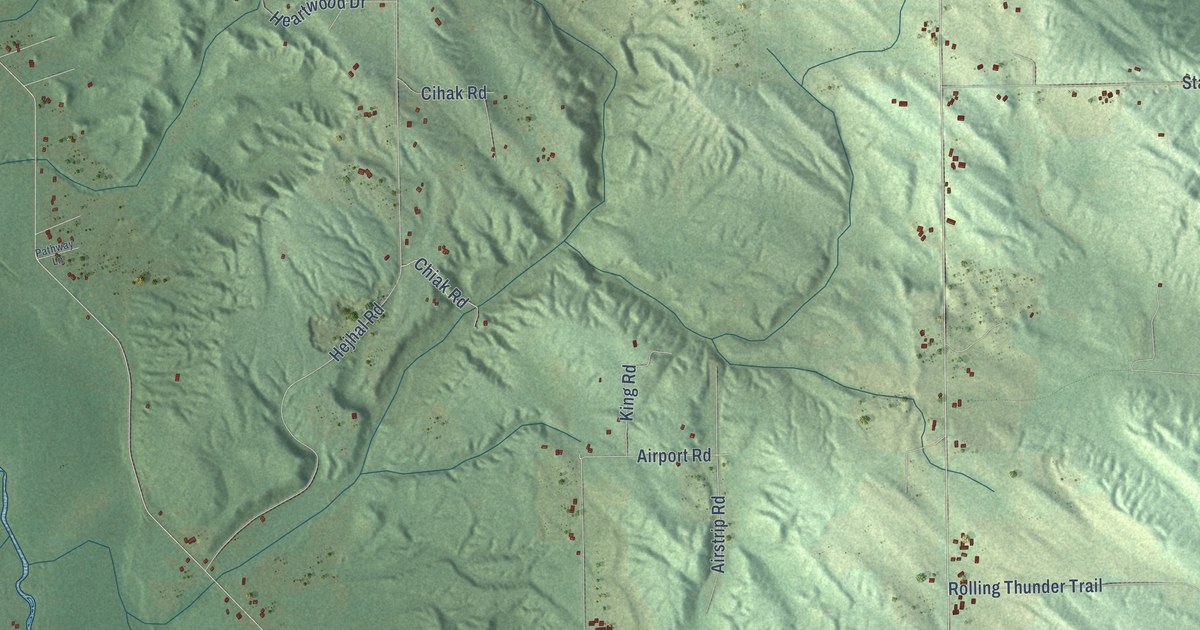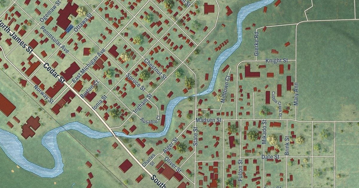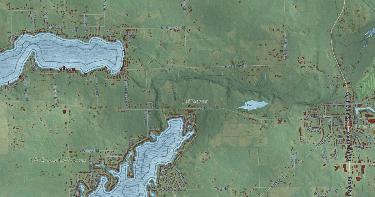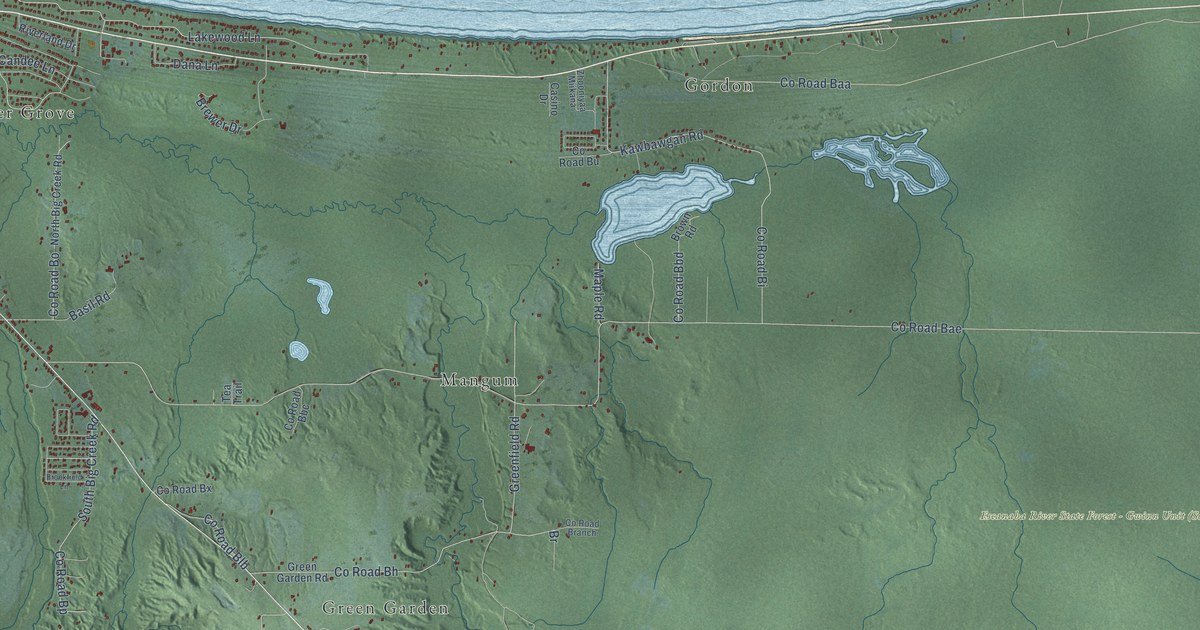
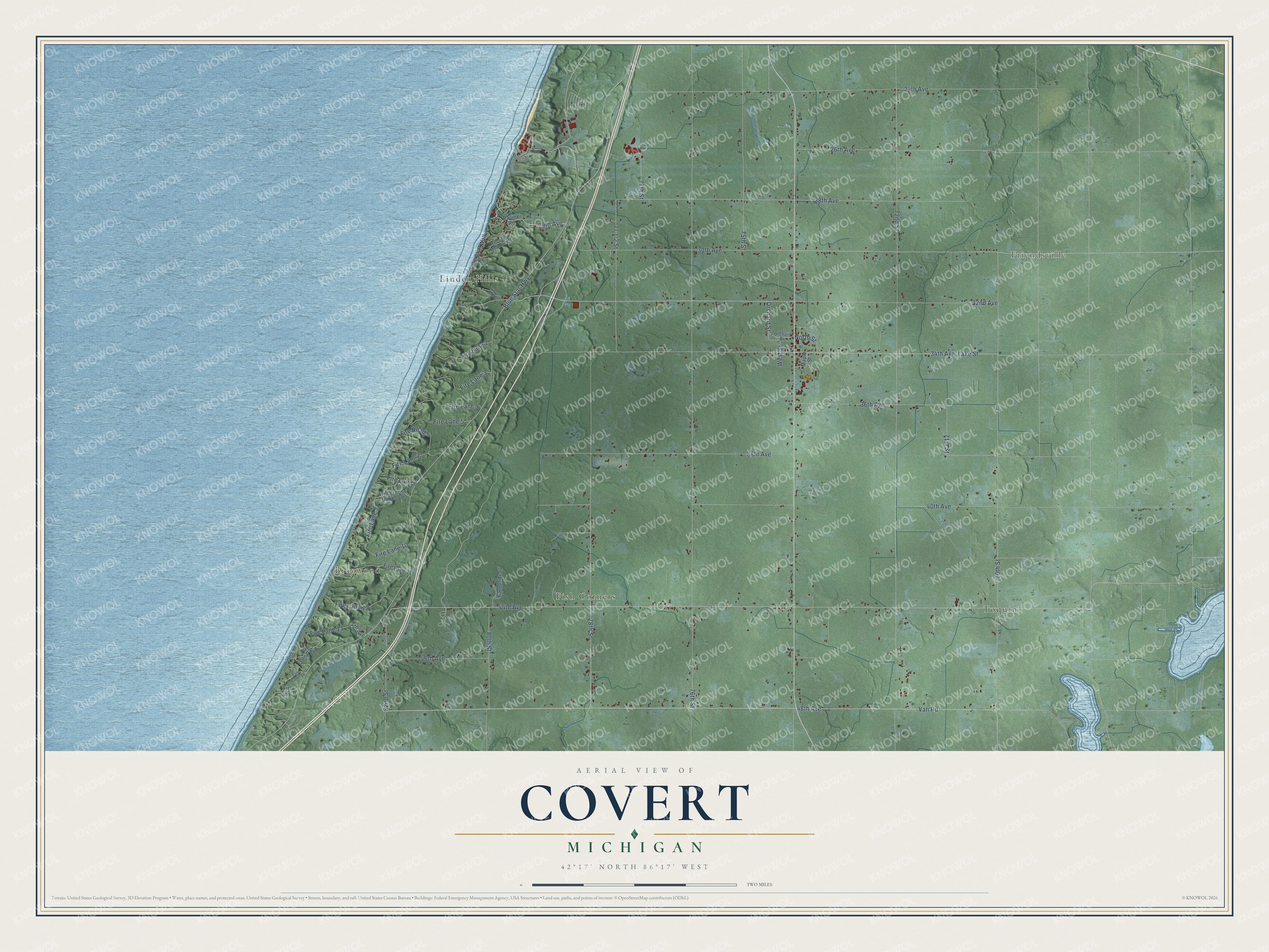
This beautifully detailed map of Covert, Michigan was created in 2026 using aerial imagery combined with modern topographical, census, street and landmark data. It's a modern aerial view of Covert in Van Buren County, Michigan, that combines modern data with a vintage aesthetic. The roads feature printed names, and if you look closely you can find your exact house accurately shown in its correct location.
Explore an aerial view of Covert, Michigan
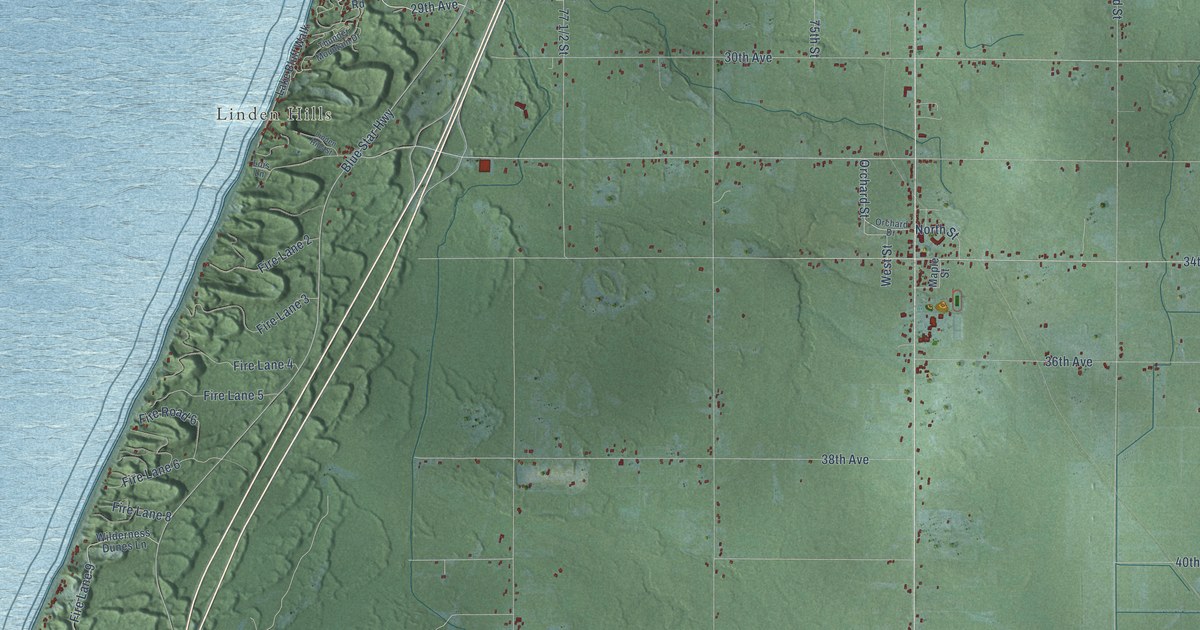
On this map you'll find Braywood, Friendsville, Linden Hills, Fish Corners, Toquin, 29th Avenue, Blue Star Highway, 48th Avenue, Van Road, Orchard Street, 78th Street, 71st Street, and more. Each red shape is a building, so zoom in on the preview and look for yours.
Here is a piece of Covert history, in the words of the record. The History of Van Buren County puts it this way: "The township was first called Deerfield, but on account of there being other towns of that name in the state, the name was changed to Covert. This change was made in 1876, by an act of the legislature introduced by Hon. William O. Packard, at that time a representative from Van Buren county and a resident of the township."
The Census Bureau counted 2,510 people here in 2020.
Take a closer look at the Covert map
Names on this map
These names are printed on this map.
Places: Braywood, Friendsville, Linden Hills, Fish Corners and Toquin.
Streets and roads: 29th Avenue, Blue Star Highway, 48th Avenue, Van Road, Orchard Street, 78th Street, 71st Street, Lake Street, Fire Lane 13, 72nd Street, 44th Avenue, 76th Street.
More street names, A to Z
24th Avenue, 26th Avenue, 28th Avenue, 30th Avenue, 32nd Avenue, 34th Avenue, 36th Avenue, 38th Avenue, 40th Avenue, 45th Avenue, 46th Avenue, 70th Street, 75th Street, 77th Street, 80th Street, 82nd Street, Fire Lane 2, Fire Lane 3, Fire Lane 4, Fire Lane 5, Fire Lane 6, Fire Lane 8, Fire Lane 9, Fire Lane 10, Fire Lane 11, Fire Lane 12, Fire Lane 16, Fire Lane 17, Fire Road 6, Lake Bluff Walk, Linden Hills Street, Lois Lane, Maple Street, North Street, Orchard Drive, Ravine Road, Thunder Mountain Drive, Timber Trail, West Street, Wilderness Dunes Lane.
Created by KNOWOL in 2026. The buildings are small red shapes, the roads carry their printed names, and shaded relief shows the shape of the land. The title panel reads "AERIAL VIEW OF COVERT, MICHIGAN" with 42°17' NORTH 86°17' WEST.
It suits a den, a classroom or a front hall, and it makes a gift for anyone with Covert roots. Open the preview and find the block you know. See sizes and frames for the Covert map.