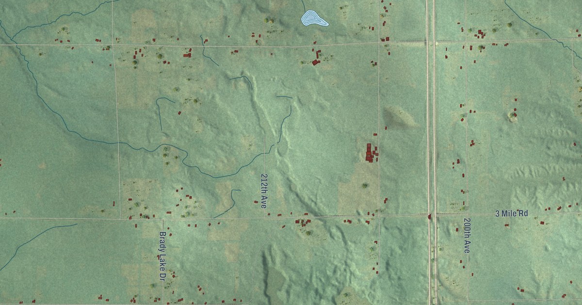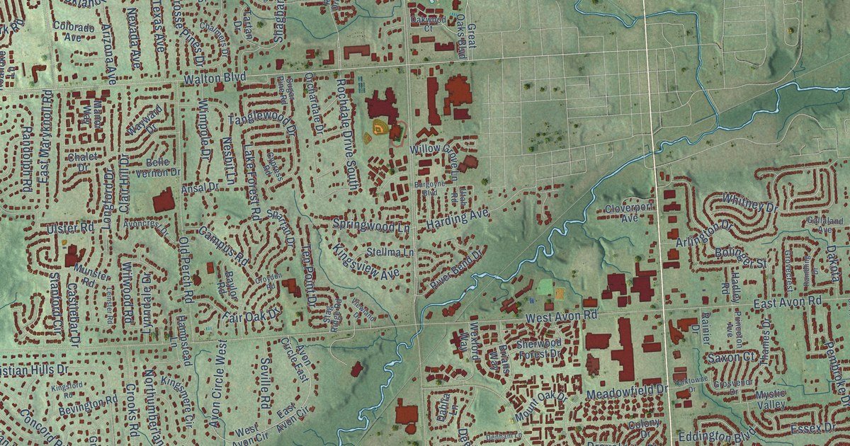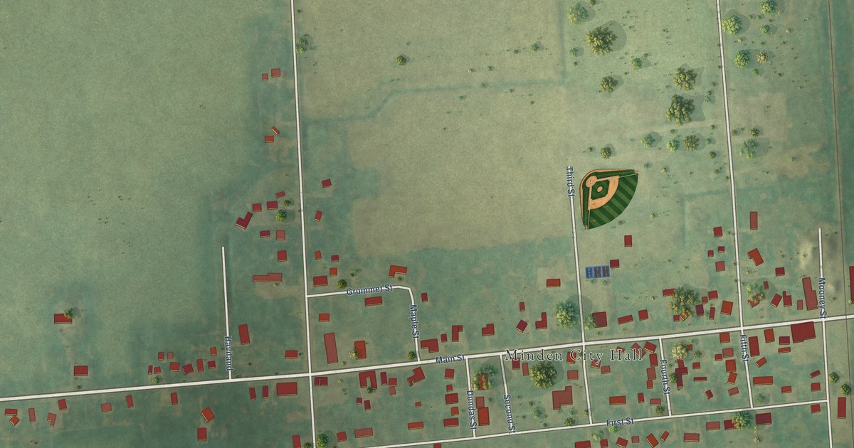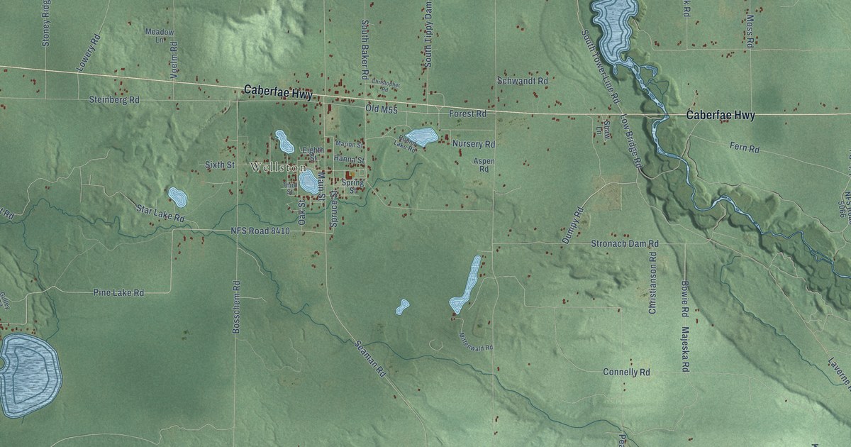
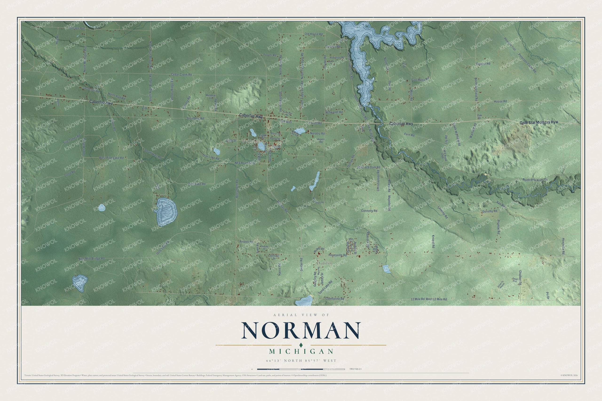
This beautifully detailed map of Norman, Michigan was created in 2026 using aerial imagery combined with modern topographical, census, street and landmark data. It's a modern aerial view of Norman in Manistee County, Michigan, that combines modern data with a vintage aesthetic. The roads feature printed names, and if you look closely you can find your exact house accurately shown in its correct location.
Explore an aerial view of Norman, Michigan
On this map you'll find Dublin, Wellston, Caberfae Highway, Gold Star Mothers Hyw, Hoxyville Road, North Tower Line Road, North Oak, Van Road, 12 Mile Road, South Tower Line Road, Dexter Road, Dumpy Road, and more. Each red shape is a building, so zoom in on the preview and look for yours.
Every town has a first chapter, and Norman is no exception. The Norman Township Master Plan puts it this way: "The first individual attempts at agricultural farming may have been by Ed Norman who settled in west Norman Township about 1897."
The Census Bureau counted 1,567 people here in 2020.
Take a closer look at the Norman map
Names on this map
These names are printed on this map.
Places: Dublin and Wellston.
Streets and roads: Caberfae Highway, Gold Star Mothers Hyw, Hoxyville Road, North Tower Line Road, North Oak, Van Road, 12 Mile Road, South Tower Line Road, Dexter Road, Dumpy Road, West 12 Mile Road, Seaman Road.
More street names, A to Z
Airport Road, Andrew Street, Aspen Road, Bosschem Road, Bowie Road, Cedar Creek Road, Chalker Road, Cheyne Drive, Chicago Avenue, Christianson Road, Christopher Road, Connelly Road, Countyline Road, Cravens Road, David Street, Dead End, Depner Road, Dorothy Road, Drive To House, East Moss Road, Eighth Street, Emmons Road, Fawn Road, Fern Road, Fire Tower Road, Forest Road, Foster Road, Good Road, Gregory Road, Gulley Road, Gunn Road, Hanna Street, Harris Road, Hoxeyville Road, Huff Road, Husiar Road, Jacobson Road, James Street, Jennifer Drive, Joseph Street, Kropel Road, Laverne Road, Lily Road, Low Bridge Road, Lowery Road, Main Street, Majeska Road, Maple Drive, Marion Street, Mark Street, Mary Road, McNeil Road, Meadow Lane, Mikelle Drive, Mittenwald Road, Moss Road, NFS Road 5066, NFS Road 8410, Nine Mile Bridge Road, North Baker Road, North Hart Road, North High Bridge Road, North Michigan Avenue, North Pine River Road, North Tippy Dam Road, North Warfield Road, Nursery Road, Oak Drive, Oak Road, Oak Street, Old House Road, Old M55, Peacock Road, Peterson Creek Road, Peterson Trail, Pine Lake Road, Pri Drive, Priv Drive, Prunski Road, Prv Drive, Robinson Road, Round Lake Road, Sand Lake Road, Schwandt Road, Shaw Lane, Sixth Street, Snyder Road, South Baker Road, South Hart Road, South High Bridge Road, South Tippy Dam Road, South Warfield Road, Spring Street, Spruce Street, Star Lake Road, Steinberg Road, Stoney Ridge Road, Stronach Dam Road, Susan Street, Third Street, Udell Hills Road, Usfs 5336 Road, Voelm Road, Warfield Road, West Pine Lake Road.
Created by KNOWOL in 2026. The buildings are small red shapes, the roads carry their printed names, and shaded relief shows the shape of the land. The title panel reads "AERIAL VIEW OF NORMAN, MICHIGAN" with 44°13' NORTH 85°57' WEST.
Hang it in the hallway, the office or the cabin, or give it to someone who left Norman and still calls it home. Open the preview and look for a street you know. See sizes and frames for the Norman map.