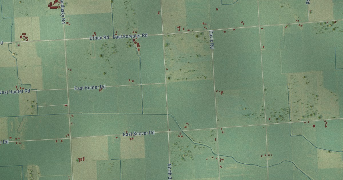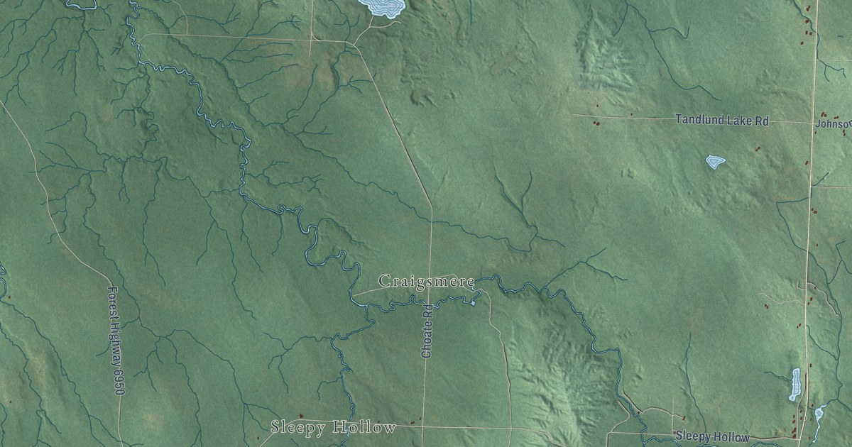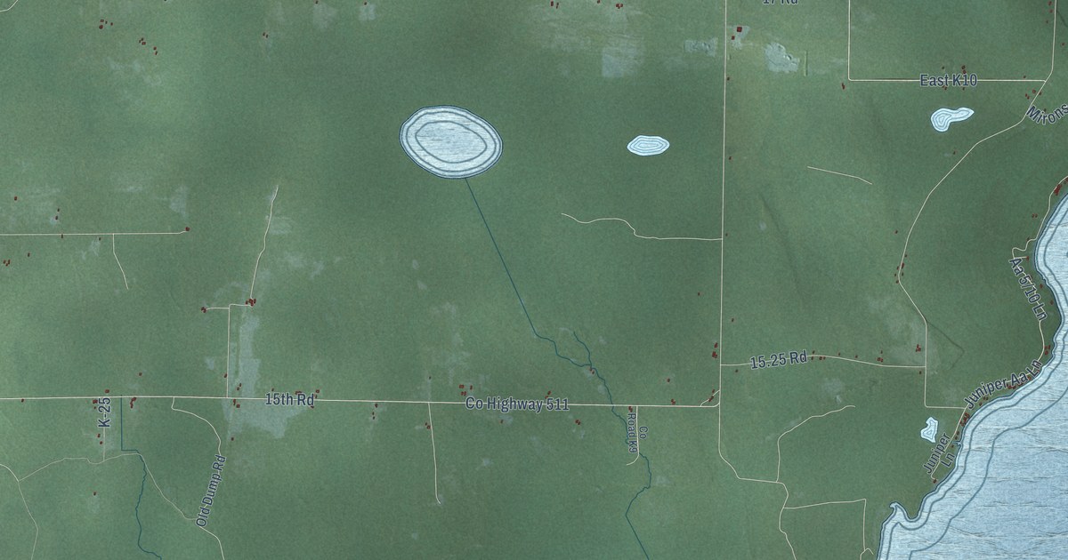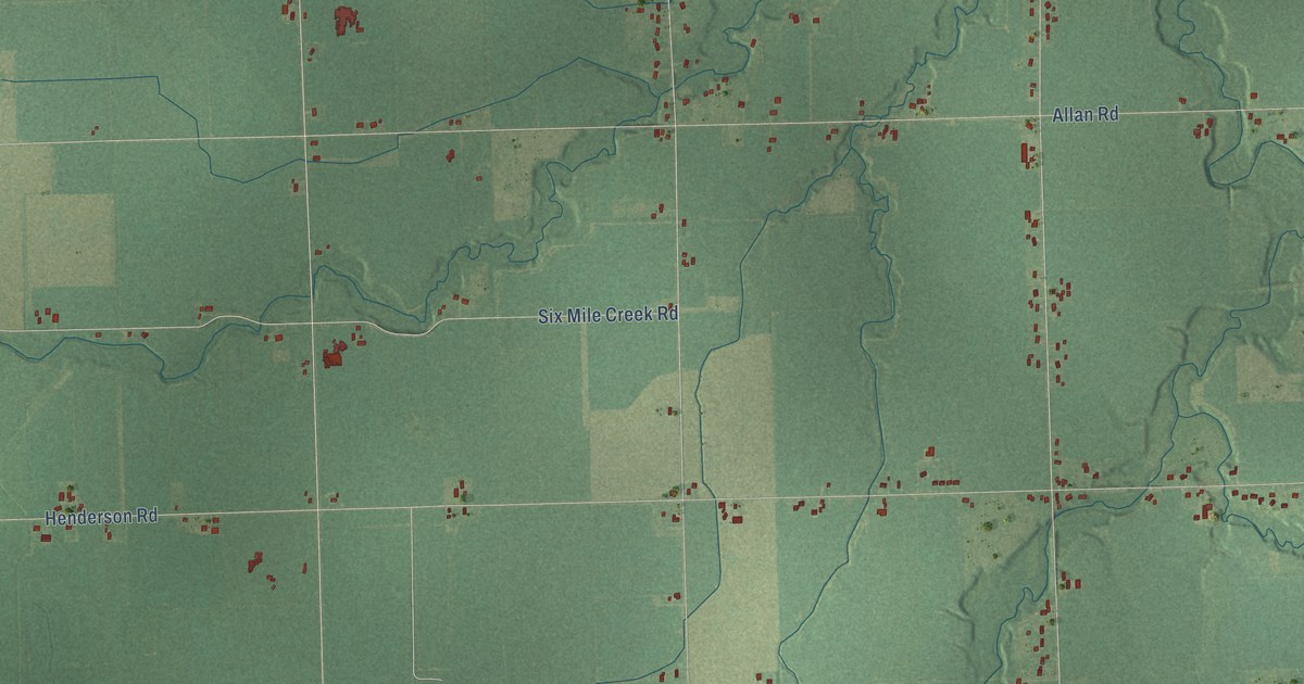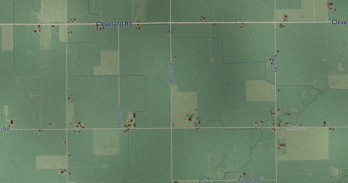
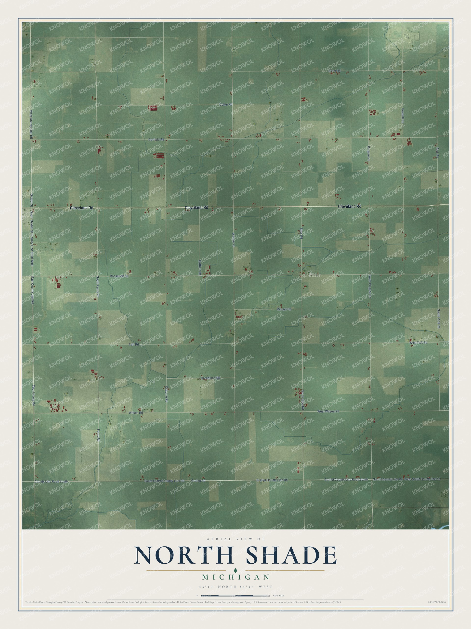
This beautifully detailed map of North Shade, Michigan was created in 2026 using aerial imagery combined with modern topographical, census, street and landmark data. It's a modern aerial view of North Shade in Gratiot County, Michigan, that combines modern data with a vintage aesthetic. The roads feature printed names, and if you look closely you can find your exact house accurately shown in its correct location.
Explore an aerial view of North Shade, Michigan
On this map you'll find Brice, Cleveland Road, County Line Road South, East County Line Road, Gratiot County Line Road, County Line Road West, County Line Road, South Gratiot Street, Warner Road, Roosevelt Road, Gratiot Street, West County Line Road, and more. Each red shape is a building, so zoom in on the preview and look for yours.
North Shade has a story worth telling. The Gratiot County Historical and Biographical puts it this way: "North Shade was the only organized township in the county, and that township was connected, officially, with Clinton County. The organizing act provided for an election to be held on the first Tuesday of November, 1855, to elect a full set of county officers."
The Census Bureau counted 558 people here in 2020.
Take a closer look at the North Shade map
Names on this map
These names are printed on this map.
Places: Brice.
Streets and roads: Cleveland Road, County Line Road South, East County Line Road, Gratiot County Line Road, County Line Road West, County Line Road, South Gratiot Street, Warner Road, Roosevelt Road, Gratiot Street, West County Line Road, South Pingree Road.
More street names, A to Z
Bliss Road, Cotter Road, Duffield Road, Ferris Road, Garfield Road, Grant Road, Gratiot County Line Road South, Gratiot Road, Grendlund Road, Osborne Road, Pendell Road, Pingree Road, Ranger Road, Rich Road, South Bliss Road, South County Line Road, South Ferris Road, South Gratiot County Line Road, South Rich Road, Taft Road, West South Countyline Road, West Taft Road, West Wilson Road, Wilson Road.
Created by KNOWOL in 2026. The buildings are small red shapes, the roads carry their printed names, and shaded relief shows the shape of the land. The title panel reads "AERIAL VIEW OF NORTH SHADE, MICHIGAN" with 43°10' NORTH 84°47' WEST.
It looks right in a kitchen, an office or a den, and it's a gift for anyone who grew up in North Shade or moved away. Open the preview and find your street. See sizes and frames for the North Shade map.