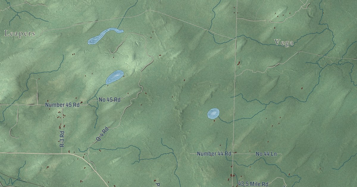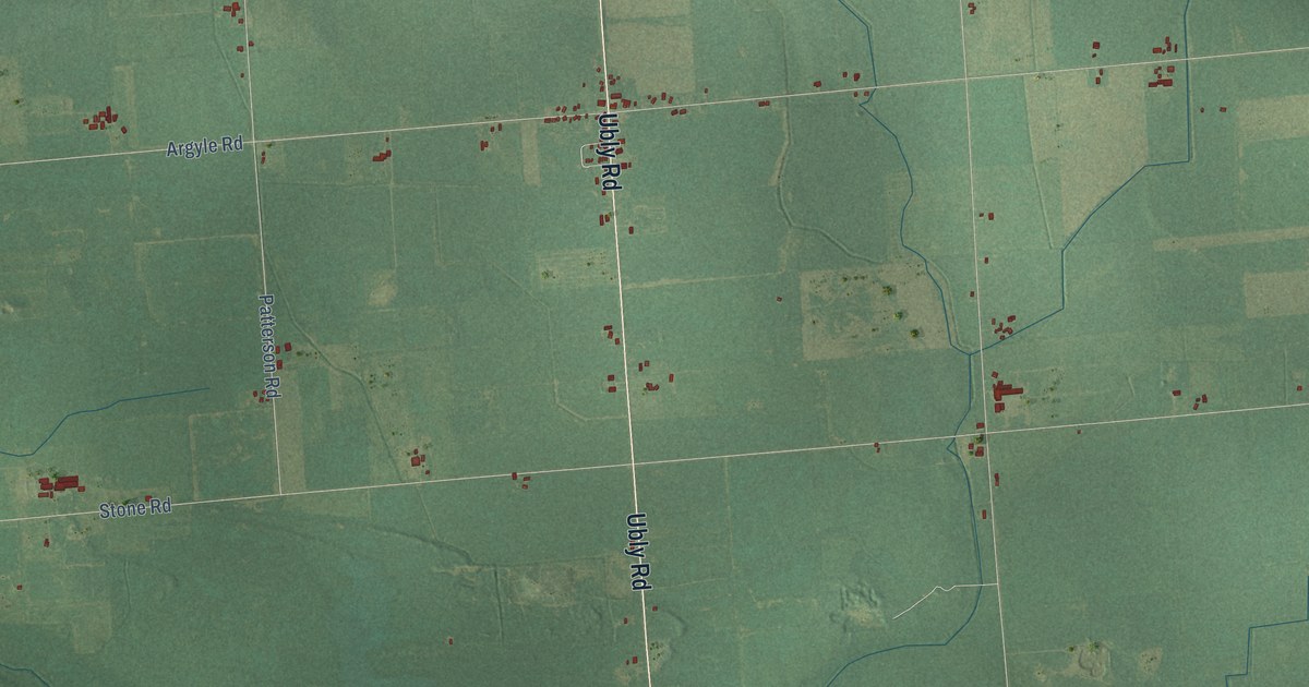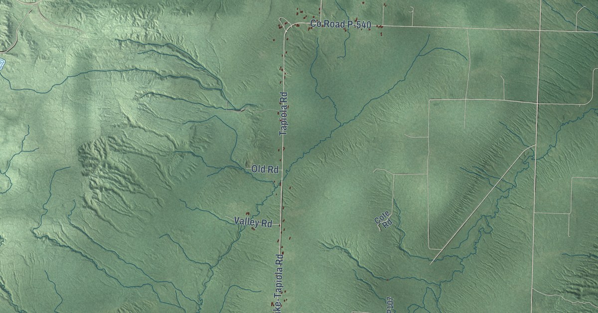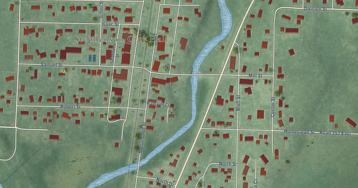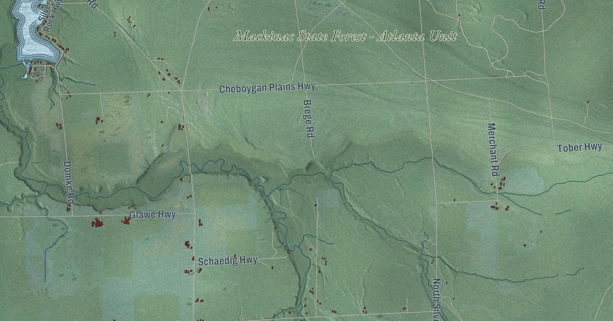
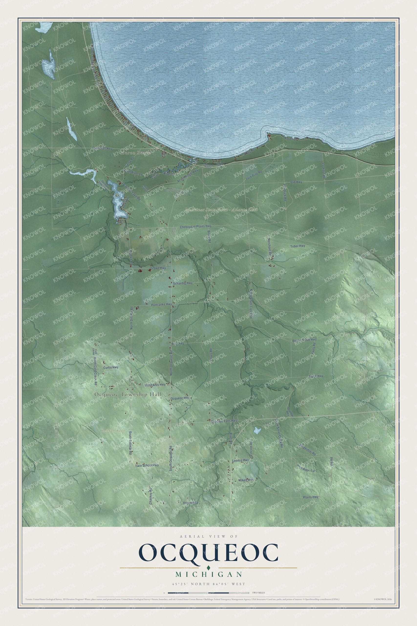
This beautifully detailed map of Ocqueoc, Michigan was created in 2026 using aerial imagery combined with modern topographical, census, street and landmark data. It's a modern aerial view of Ocqueoc in Presque Isle County, Michigan, that combines modern data with a vintage aesthetic. The roads feature printed names, and if you look closely you can find your exact house accurately shown in its correct location.
Explore an aerial view of Ocqueoc, Michigan
On this map you'll find Ocqueoc Township Hall, Huron Beach, Buck Falls Ranch, Mackinac State Forest – Atlanta Unit, North Dittmar Road, South Dittmar Road, North Ocqueoc Road, North Silver Creek Road, Cheboygan Plains Highway, Brege Road, Pomranke Highway, Jack Pine Road, and more. Each red shape is a building, so zoom in on the preview and look for yours.
Every town has a first chapter, and Ocqueoc is no exception. The Ocqueoc Township puts it this way: "Finally, in 1887, a third petition from the residents was approved and Ocqueoc Township was formed."
The Census Bureau counted 544 people here in 2020.
Take a closer look at the Ocqueoc map
Names on this map
These names are printed on this map.
Places: Ocqueoc Township Hall, Huron Beach, Buck Falls Ranch and Mackinac State Forest - Atlanta Unit.
Streets and roads: North Dittmar Road, South Dittmar Road, North Ocqueoc Road, North Silver Creek Road, Cheboygan Plains Highway, Brege Road, Pomranke Highway, Jack Pine Road, Black Highway, Ocqueoc Lake Road, Friedrick Road, Pine Tree Trail.
More street names, A to Z
646 Highway, Acorn Ridge Highway, Aqua Lane, Beach Grove Highway, Camp Road, Chaskey Road, Circle Drive, Cold Crk Road, Curtis Highway, Curtis Lane, Domke Road, Fawn Lane, Glawe Highway, Golden Trail Road, Hammond Hill Lane, Hill Road, Jarvis Road, Joy Lane, King Highway, Kings Lane, Lincoln Road, Lookout Road, Loomis Highway, Merchant Road, Nokes Highway, North Allis Highway, North Cold Creek Road, North River Lane, Ocqueoc Falls Highway, Ocqueoc Highway, Orchard Creek Highway, Orcutt Highway, Pauly Road, Pine Hill Road, Plains Highway, Plover Lane, Quiet River Lane, Raven Drive, Ray Road, River Lane, River Road, Schaedig Highway, Silver Rock Highway, Snow Ridge Trail, Sorgenfrei Road, Sorgnfrei Highway, South Ocqueoc Road, South River Lane, South Silver Creek Road, Spens Drive, Tober Highway, Town Hall Highway, Twin School Highway, Unity Lane.
Created by KNOWOL in 2026. The buildings are small red shapes, the roads carry their printed names, and shaded relief shows the shape of the land. The title panel reads "AERIAL VIEW OF OCQUEOC, MICHIGAN" with 45°25' NORTH 84°05' WEST.
Hang it in the hallway, the office or the cabin, or give it to someone who left Ocqueoc and still calls it home. Open the preview and look for a street you know. See sizes and frames for the Ocqueoc map.