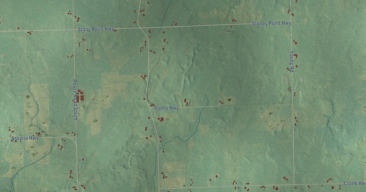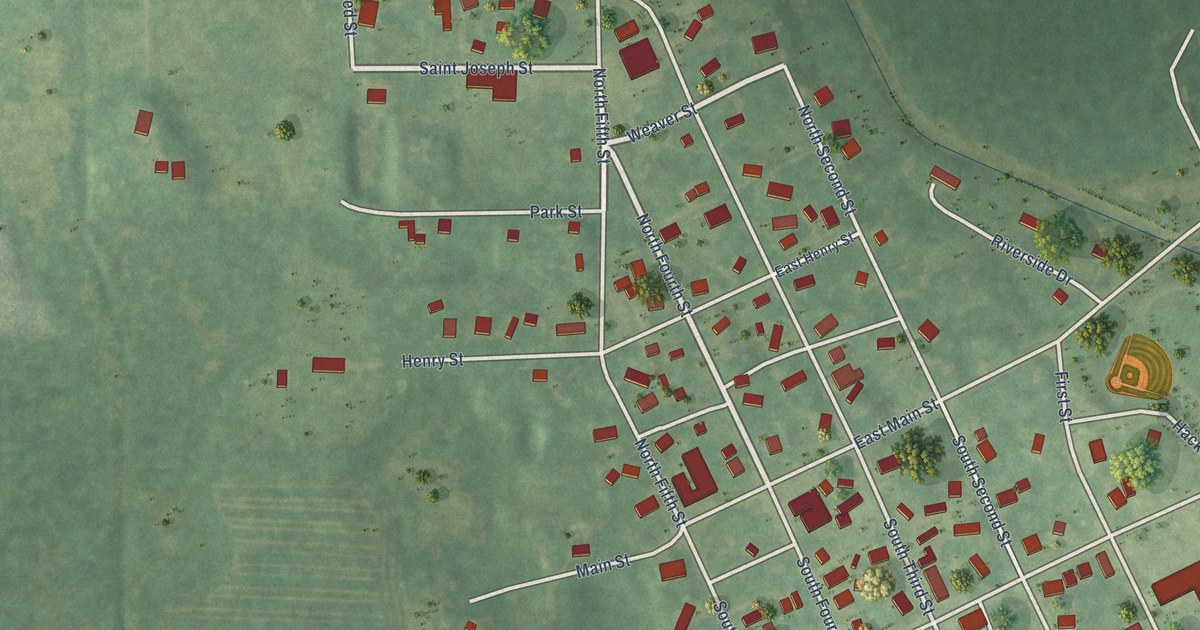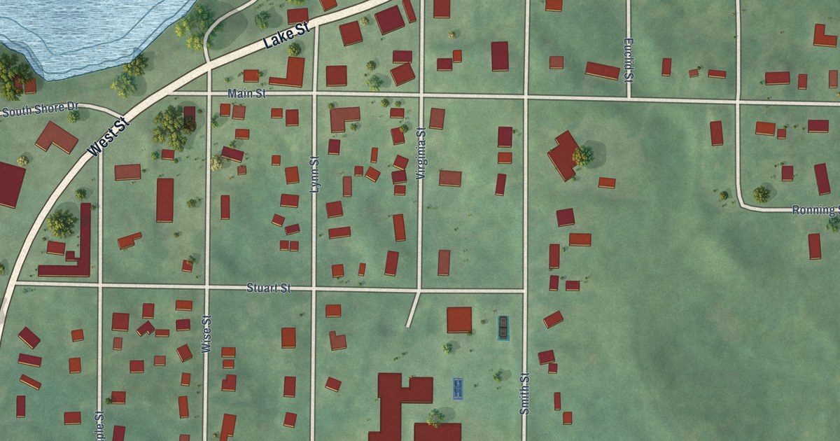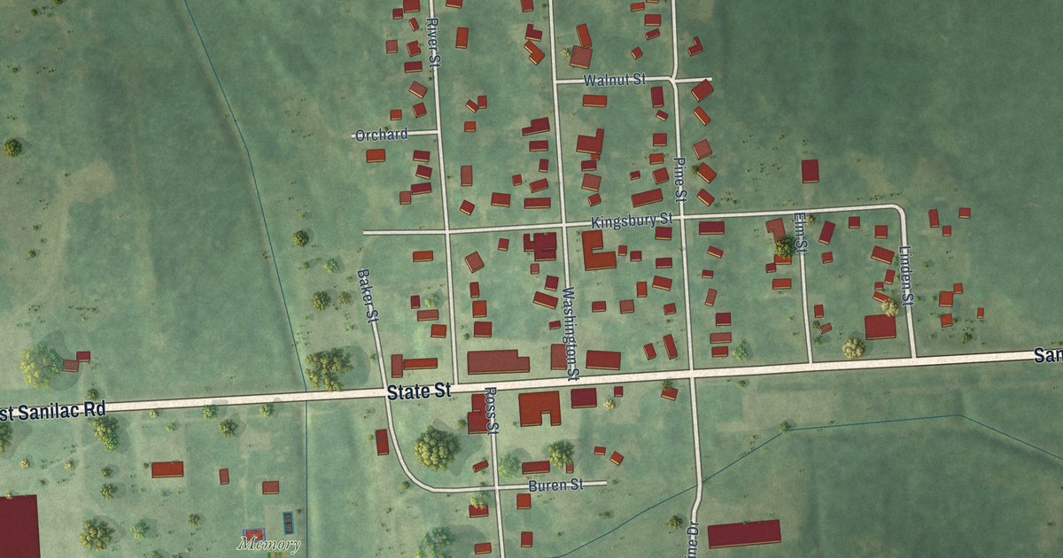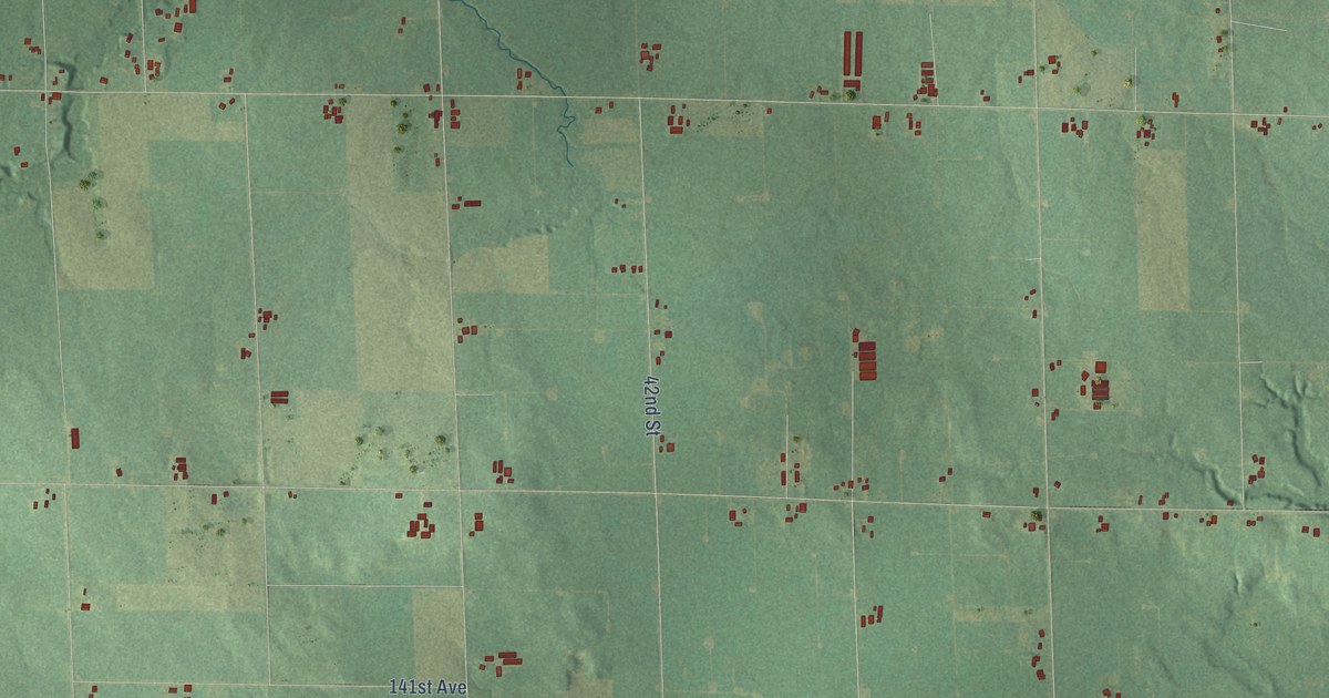
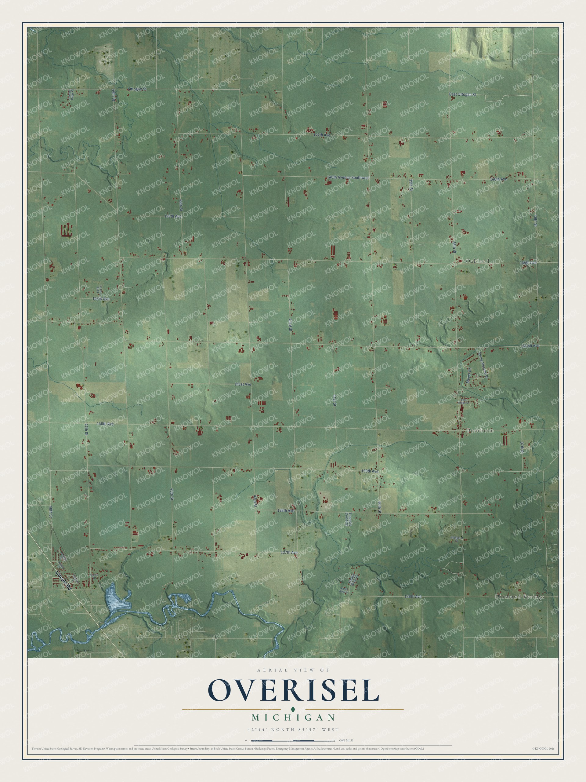
This beautifully detailed map of Overisel, Michigan was created in 2026 using aerial imagery combined with modern topographical, census, street and landmark data. It's a modern aerial view of Overisel in Allegan County, Michigan, that combines modern data with a vintage aesthetic. The roads feature printed names, and if you look closely you can find your exact house accurately shown in its correct location.
Explore an aerial view of Overisel, Michigan
On this map you'll find Bentheim, Oakland, Diamond Springs, Lincoln Road, East Ottogan Street, 48th Street, 41st Street, 38th Street, 140th Avenue, 142nd Avenue, 43rd Street, 46th Street, and more. Each red shape is a building, so zoom in on the preview and look for yours.
Overisel has a story worth telling. The History of Allegan and Barry Counties puts it this way: "The hamlet of Overisel is located upon section 18. It was first begun in 1848, when a temporary structure was erected by the men of the colony, who located in the township, and desired a place of shelter while employed in erecting log houses for the reception of their families."
The Census Bureau counted 3,133 people here in 2020.
Take a closer look at the Overisel map
Names on this map
These names are printed on this map.
Places: Bentheim, Oakland and Diamond Springs.
Streets and roads: Lincoln Road, East Ottogan Street, 48th Street, 41st Street, 38th Street, 140th Avenue, 142nd Avenue, 43rd Street, 46th Street, 47th Street, 40th Street, 144th Avenue.
More street names, A to Z
36th Street, 37th Street, 39th Street, 42nd Street, 44th Street, 45th Street, 136th Avenue, 137th Avenue, 138th Avenue, 139th Avenue, 141st Avenue, 143rd Avenue, 145th Avenue, 146th Avenue, 146th Avenue Southwest, 147th Avenue, Bent Ridge Drive, Country Ridge Court, Diamond Drive, Harris Drive, Highpoint Court, Holiday Drive, Meyer Drive, Ottogan Street, Rabbit Ridge Drive, Rabbit River Drive, Spring Meadow Drive, Trappers Crossing, Tulip Tree Lane, Volkers Street.
Created by KNOWOL in 2026. The buildings are small red shapes, the roads carry their printed names, and shaded relief shows the shape of the land. The title panel reads "AERIAL VIEW OF OVERISEL, MICHIGAN" with 42°44' NORTH 85°57' WEST.
It looks right in a kitchen, an office or a den, and it's a gift for anyone who grew up in Overisel or moved away. Open the preview and find your street. See sizes and frames for the Overisel map.