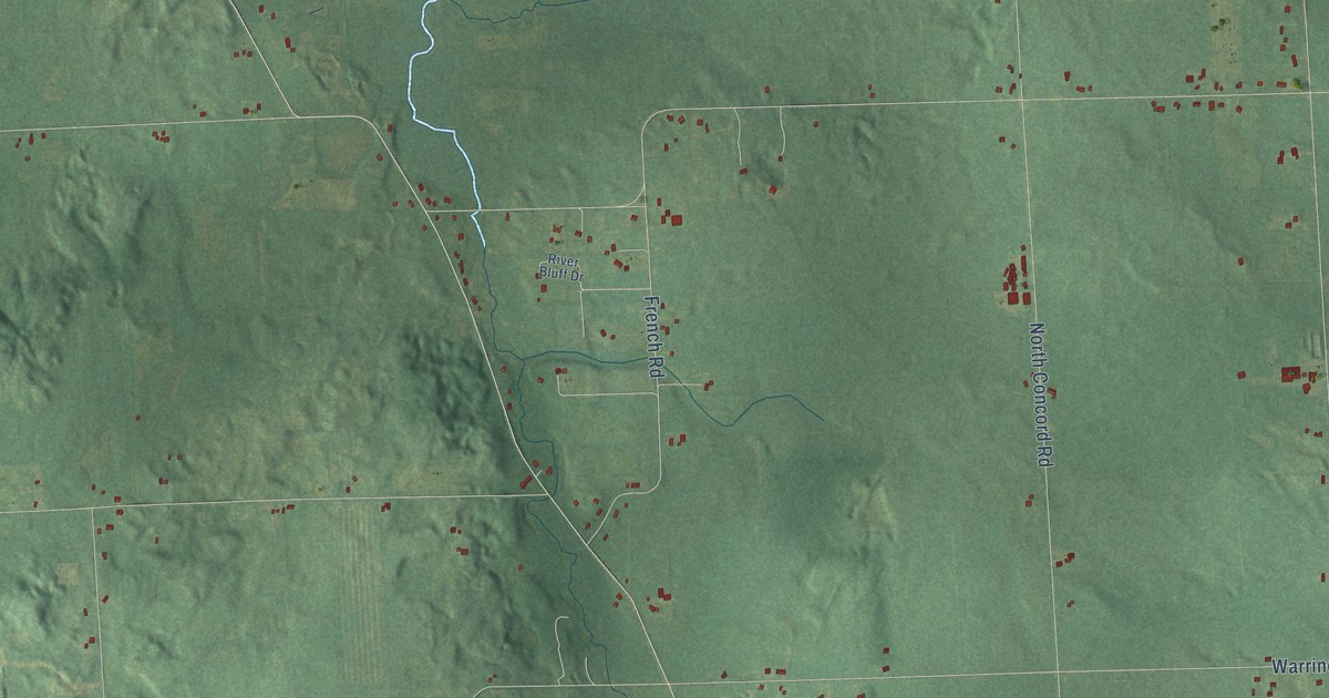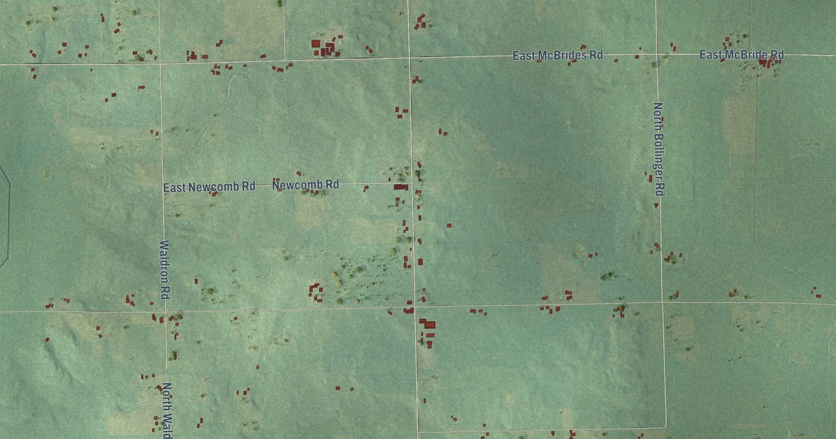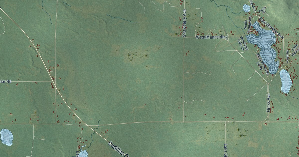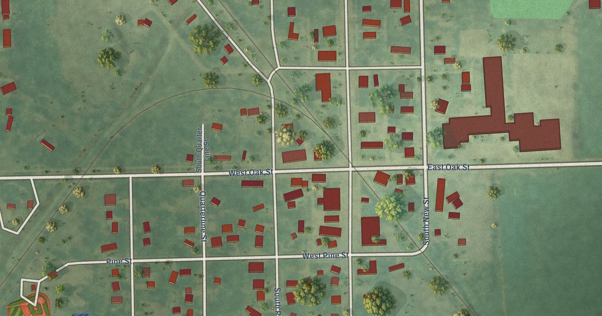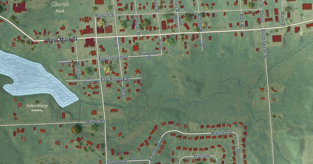
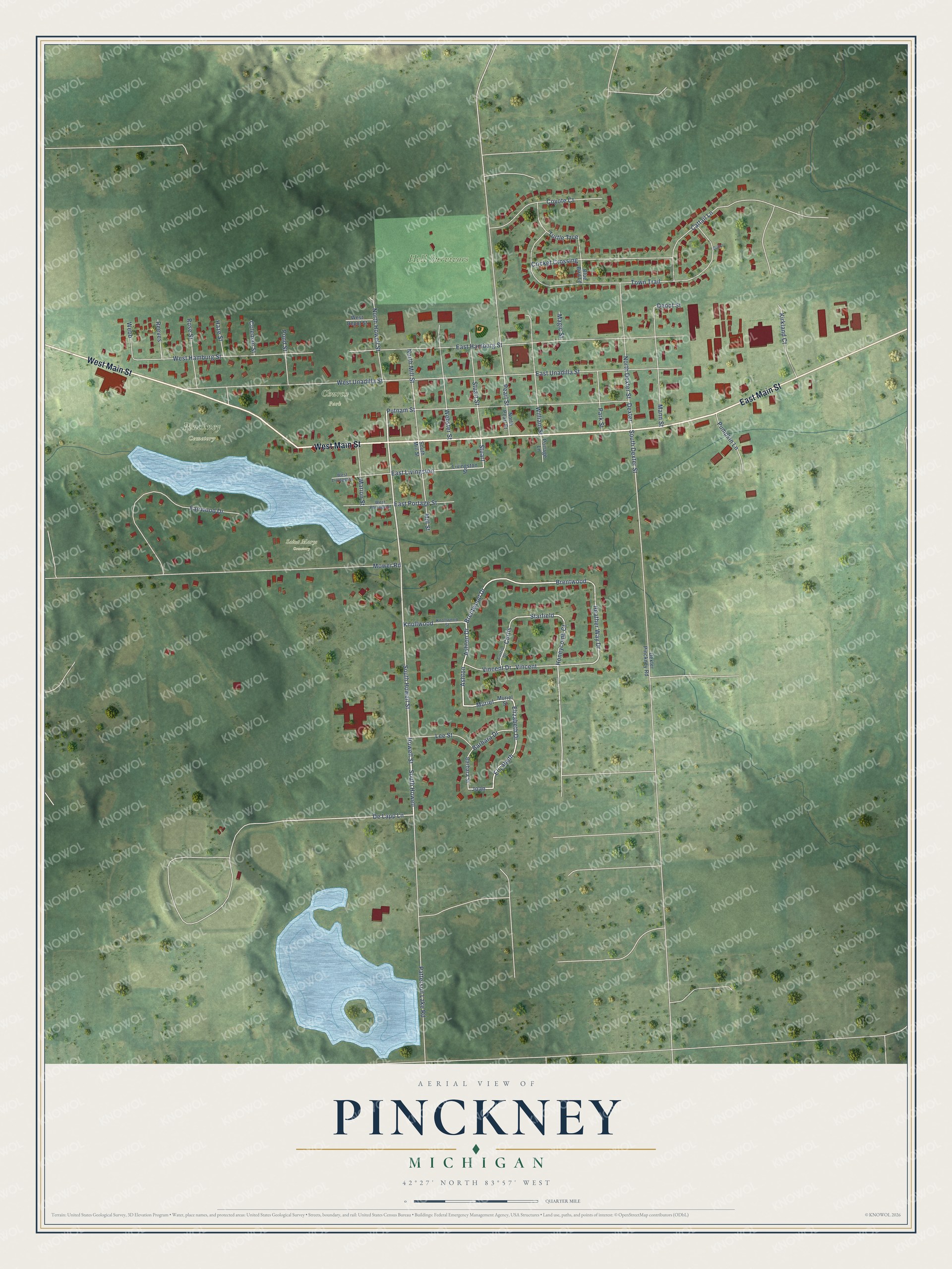
This beautifully detailed map of Pinckney, Michigan was created in 2026 using aerial imagery combined with modern topographical, census, street and landmark data. It's a modern aerial view of Pinckney in Livingston County, Michigan, that combines modern data with a vintage aesthetic. The roads feature printed names, and if you look closely you can find your exact house accurately shown in its correct location.
Explore an aerial view of Pinckney, Michigan
On this map you'll find Hell Survivors, Pinckney Cemetery, Church Park, Saint Marys Cemetery, East Main Street, West Main Street, South Howell Street, Howell Street, South Howell, Ashton, Ashton Drive, Muriel, and more. Each red shape is a building, so zoom in on the preview and look for yours.
Every town has a first chapter, and Pinckney is no exception. The History of Livingston County puts it this way: "A log school-house was built near the Dexter road, southeast of the village plat of Pinckney, about 1837, and in it the first school in the immediate neighborhood of the village was taught."
Pinckney is a village in Livingston County. The Census Bureau counted 2,415 people here in 2020.
Take a closer look at the Pinckney map
Names on this map
These names are printed on this map.
Places: Hell Survivors, Pinckney Cemetery, Church Park and Saint Marys Cemetery.
Streets and roads: East Main Street, West Main Street, South Howell Street, Howell Street, South Howell, Ashton, Ashton Drive, Muriel, North Howell Street, Brentwood, Brentwood Drive, Elizabeth.
More street names, A to Z
Barbara Drive, Barbara Street, Blue Bird Lane, Cattail Lane, Coleman Street, Coyote Court, Cricket Crossing, Curtis, Curtis Drive, De Lapp Lane, Depot Street, Dexter, Dexter Pinckney Road, East Hamburg Street, East Livingston, East Portage Street, East Unadilla Street, Elizabeth Drive, Fairwood Drive, Haze Street, Heather Way Drive, Honeycomb Court, Joan, Kirkland Court, Knollwood, Knollwood Street, Lee Street, Livingston Street, Magic Street, Mann Street, Marion Street, Mill Street, Mower Road, Muriel Street, North Dexter Street, North Mill Street, North Pearl Street, Outlot, Park Street, Patterson Lake Road, Pearl Street, Pond Street, Portage Lane, Pumpkin Lane, Putnam Street, Reeves, Rose Street, South Dexter Street, South Mill Street, Starfield, Stuart, Stuart Street, Town Trail, Turtle Trce, Vincent, Vincent Drive, Webb, Webster Street, West Depot Street, West Hamburg Street, West Livingston, West Portage Street, West Unadilla Street, William Street.
Created by KNOWOL in 2026. The buildings are small red shapes, the roads carry their printed names, and shaded relief shows the shape of the land. The title panel reads "AERIAL VIEW OF PINCKNEY, MICHIGAN" with 42°27' NORTH 83°57' WEST.
Hang it in the hallway, the office or the cabin, or give it to someone who left Pinckney and still calls it home. Open the preview and look for a street you know. See sizes and frames for the Pinckney map.