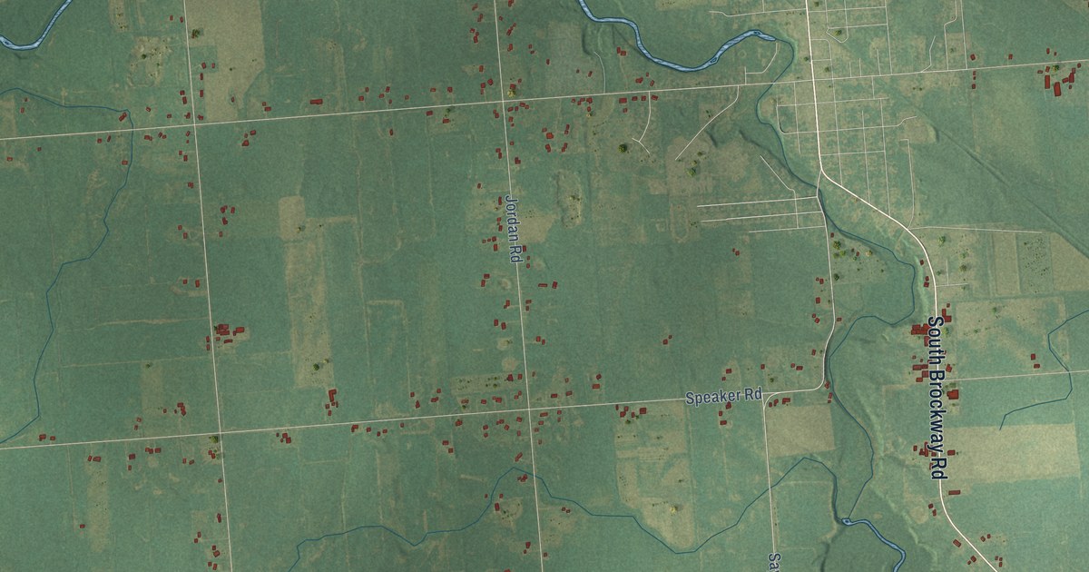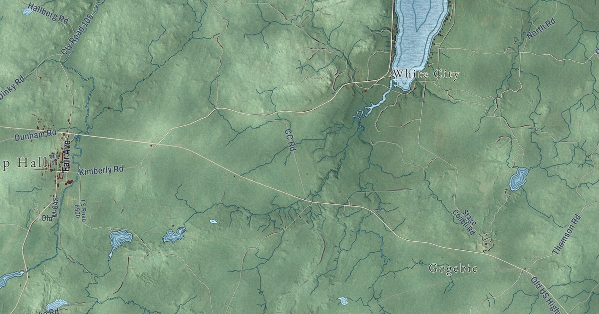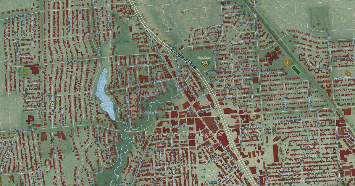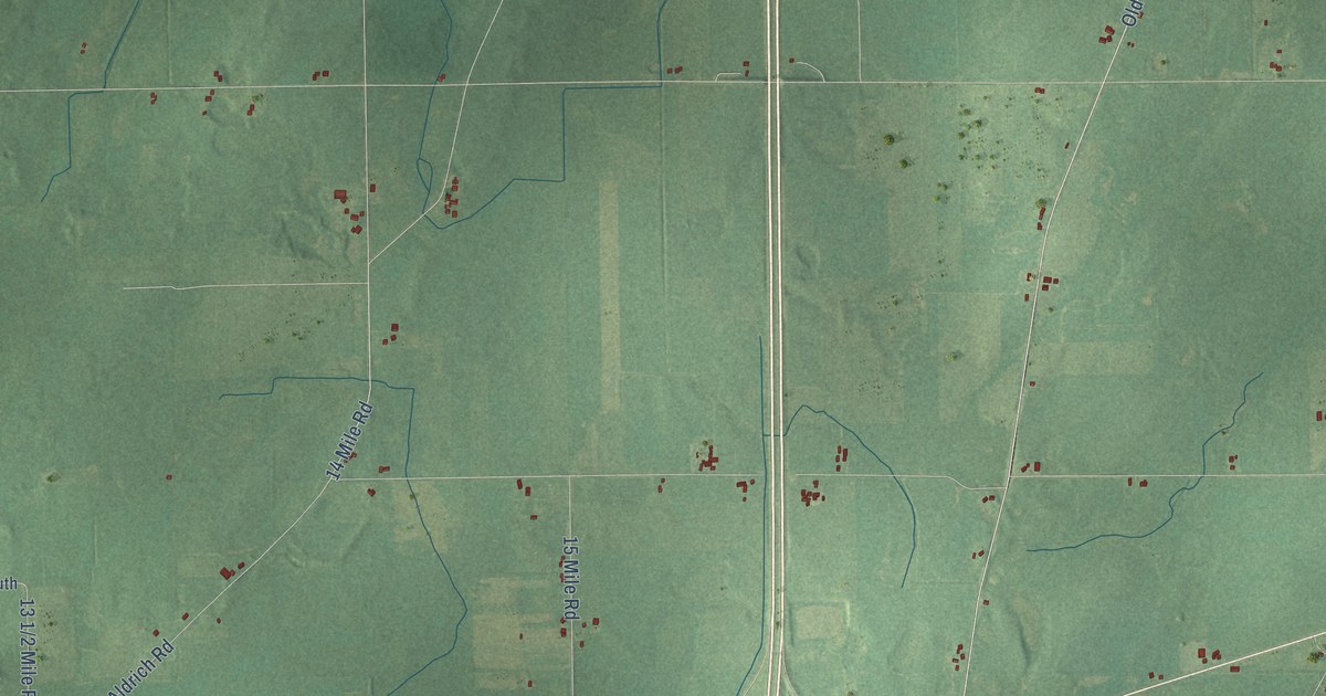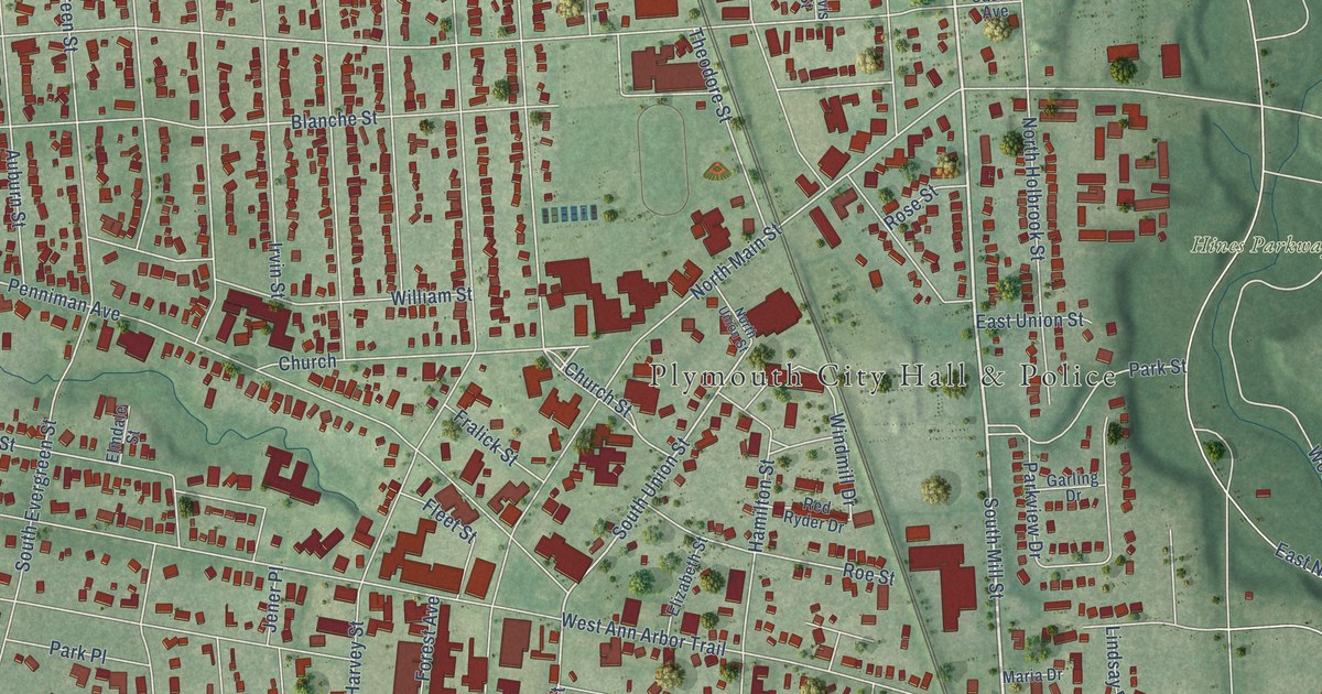
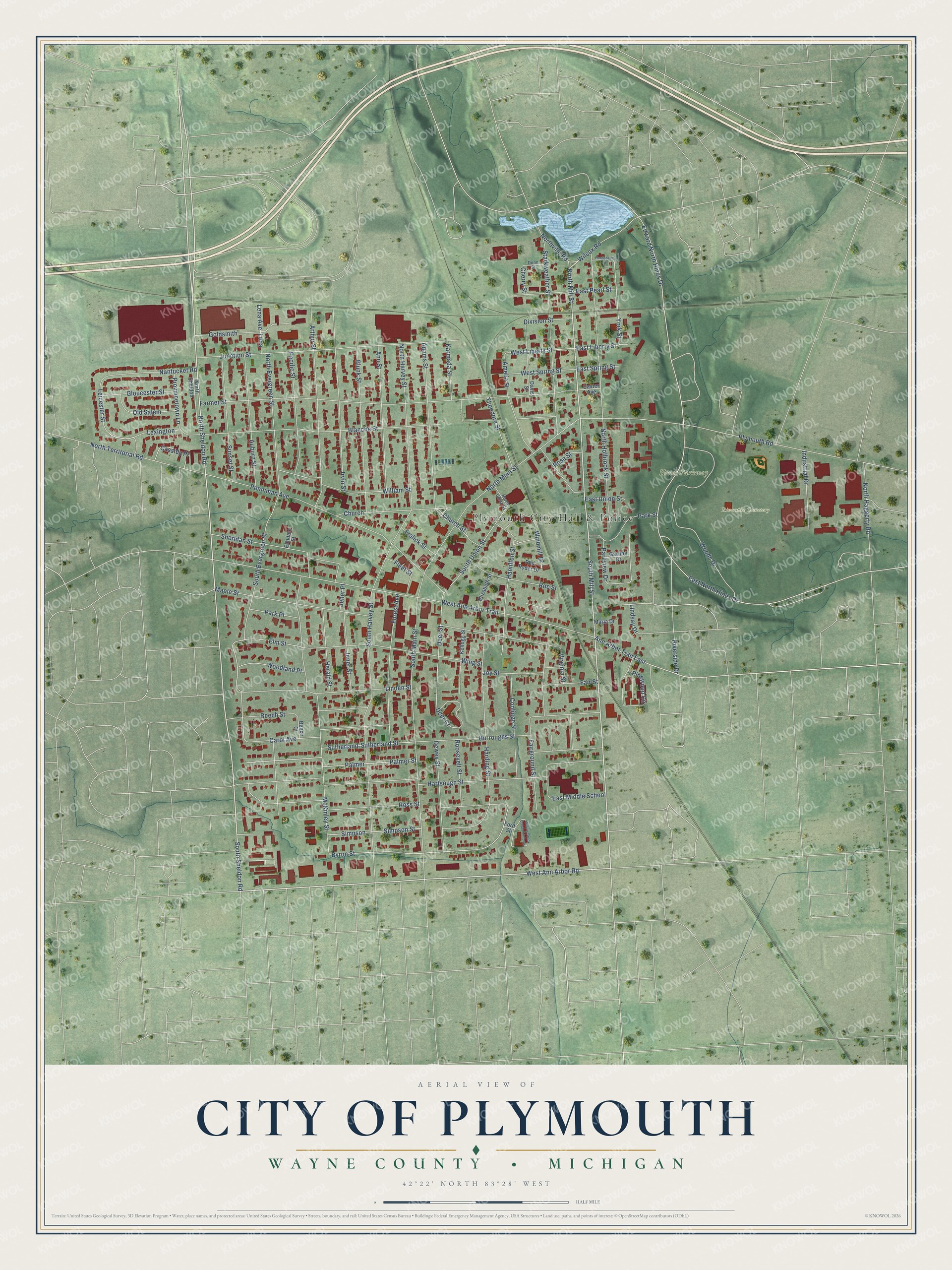
This beautifully detailed map of Plymouth, Michigan was created in 2026 using aerial imagery combined with modern topographical, census, street and landmark data. It's a modern aerial view of Plymouth in Wayne County, Michigan, that combines modern data with a vintage aesthetic. The roads feature printed names, and if you look closely you can find your exact house accurately shown in its correct location.
Explore an aerial view of Plymouth, Michigan
On this map you'll find Plymouth City Hall & Police, Hines Parkway, Riverside Cemetery, South Sheldon Road, South Mill Street, West Ann Arbor Road, North Mill Street, North Sheldon Road, Wilcox Road, Church, East Liberty Street, Ann Arbor Trail East, and more. Each red shape is a building, so zoom in on the preview and look for yours.
Every town has a first chapter, and Plymouth is no exception. The record at arcgis.com puts it this way: "A prefabricated semi-bungalow, it was constructed by the Lewis Manufacturing Company of Bay City, which built many such bungalows in Michigan between 1914 and 1940."
Plymouth is a city in Wayne County. The Census Bureau counted 9,370 people here in 2020.
Take a closer look at the Plymouth map
Names on this map
These names are printed on this map.
Places: Plymouth City Hall & Police, Hines Parkway and Riverside Cemetery.
Streets and roads: South Sheldon Road, South Mill Street, West Ann Arbor Road, North Mill Street, North Sheldon Road, Wilcox Road, Church, East Liberty Street, Ann Arbor Trail East, South Union Street, Byron Street, York Street.
More street names, A to Z
Adams Street, Amelia Street, Ann Street, Arthur Street, Auburn Street, Beech Court, Beech Street, Blanche Street, Blunk Street, Burroughs Street, Carol Avenue, Cassidy Place, Caster Avenue, Cherry Street, Church Street, Coolidge Street, Davis Street, Deer Court, Deer Street, Dewey Street, Division Street, Dunn Street, East Middle School, East North Hines Drive, East Pearl Street, East Spring Street, East Union Street, Edward North Hines Drive, Elizabeth Street, Elmdale Street, Elm Street, Fairground Street, Fair Street, Farmer Street, Fleet Street, Ford Street, Forest Avenue, Fralick Street, Garling Drive, Gloucester Street, Goldsmith, Hamilton Street, Hardeberg Street, Harding Street, Hartsough Street, Herald Street, Industrial Drive, Irvin Street, Jener Place, Jener Street, Joy Street, Junction Street, Karmada Street, Kellogg Street, Leicester Street, Lena, Lena Avenue, Lexington, Linden Street, Lindsay Drive, Maple Street, Maria Drive, McKinley Street, Nantucket Road, North Evergreen Street, North Haggerty Road, North Harvey Street, North Holbrook Street, North Main Street, North Sheldon, North Territorial Road, North Union Street, Northville Road, Old Salem, Pacific Street, Palmer, Palmer Street, Park Place, Park Street, Parkview Drive, Penniman Avenue, Pinewood Circle, Plymouth Road, Provincetown Lane, Red Ryder Drive, Riverside Drive, Roe Street, Roosevelt Street, Rose Street, Ross Street, Sheridan Street, Simpson, Simpson Street, South Evergreen Street, South Harvey Street, South Main Street, Starkweather Street, Sunset Street, Sutherland, Sutherland Street, Theodore Street, Virginia Street, West Ann Arbor Trail, West Liberty Street, West Spring Street, William Street, Willow Brook Condominiums, Windmill Drive, Wing Street, Woodland Place, Woods Drive.
Created by KNOWOL in 2026. The buildings are small red shapes, the roads carry their printed names, and shaded relief shows the shape of the land. The title panel reads "AERIAL VIEW OF CITY OF PLYMOUTH, WAYNE COUNTY • MICHIGAN" with 42°22' NORTH 83°28' WEST.
Hang it in the hallway, the office or the cabin, or give it to someone who left Plymouth and still calls it home. Open the preview and look for a street you know. See sizes and frames for the Plymouth map.