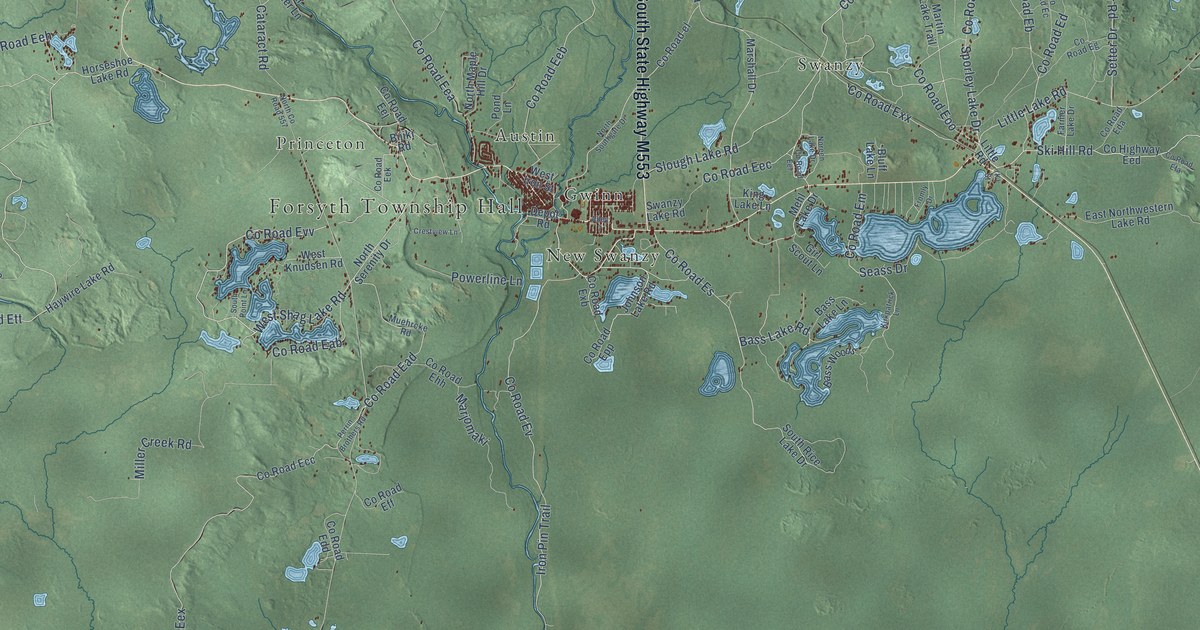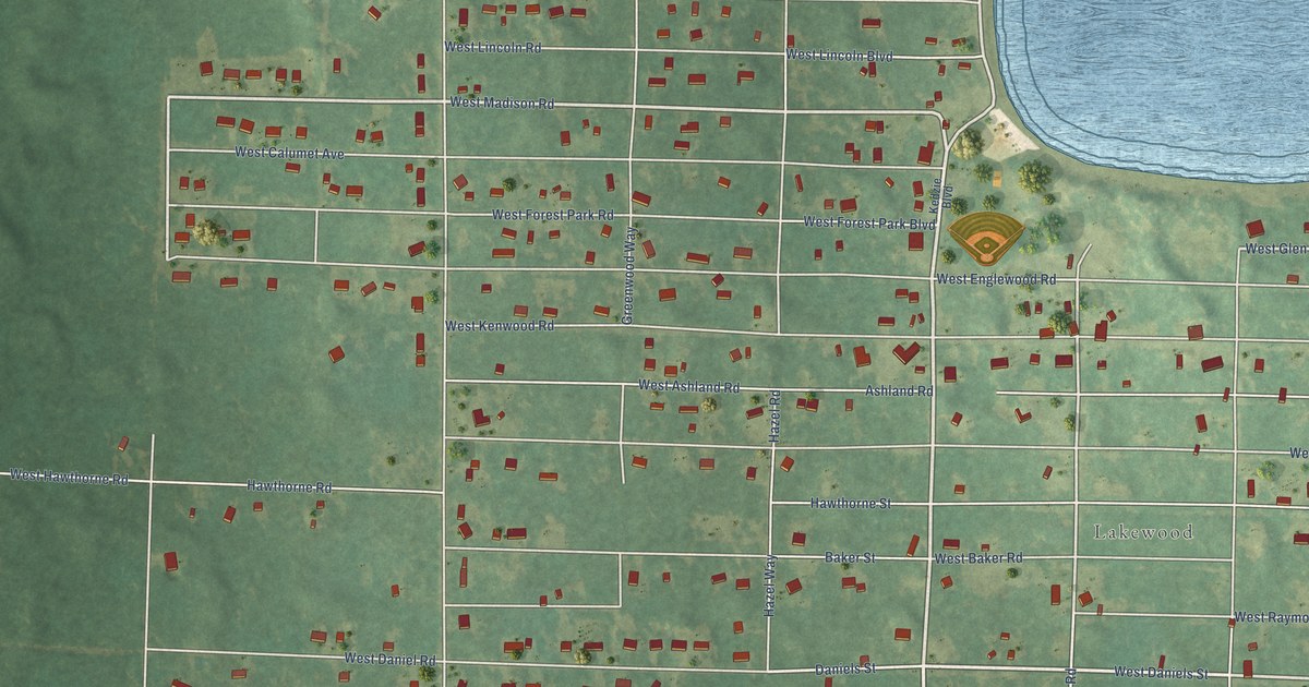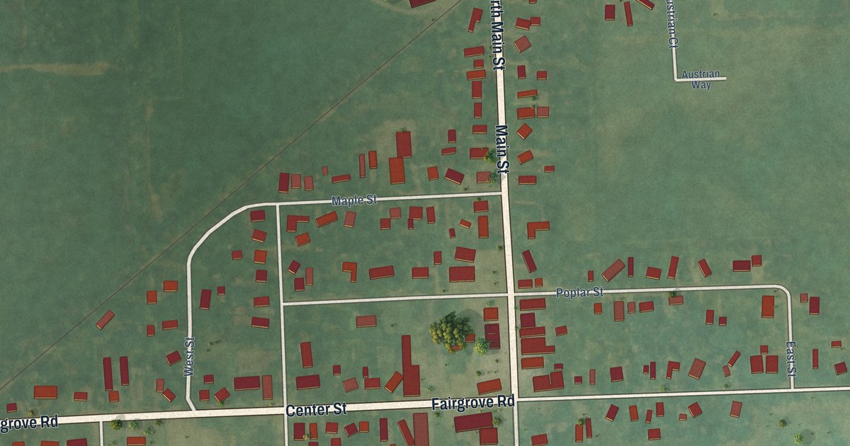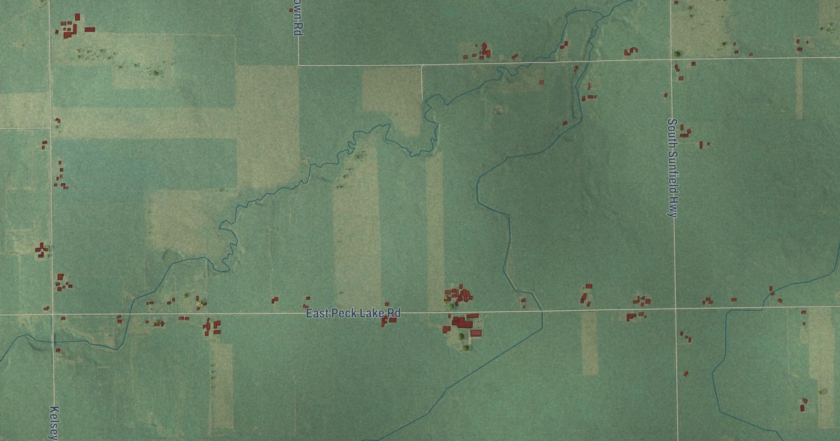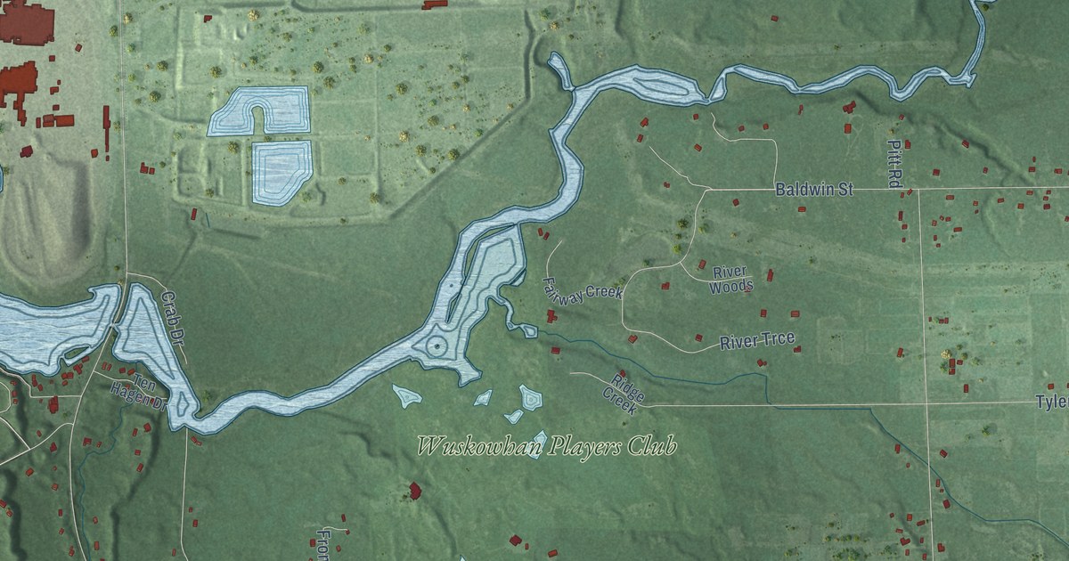
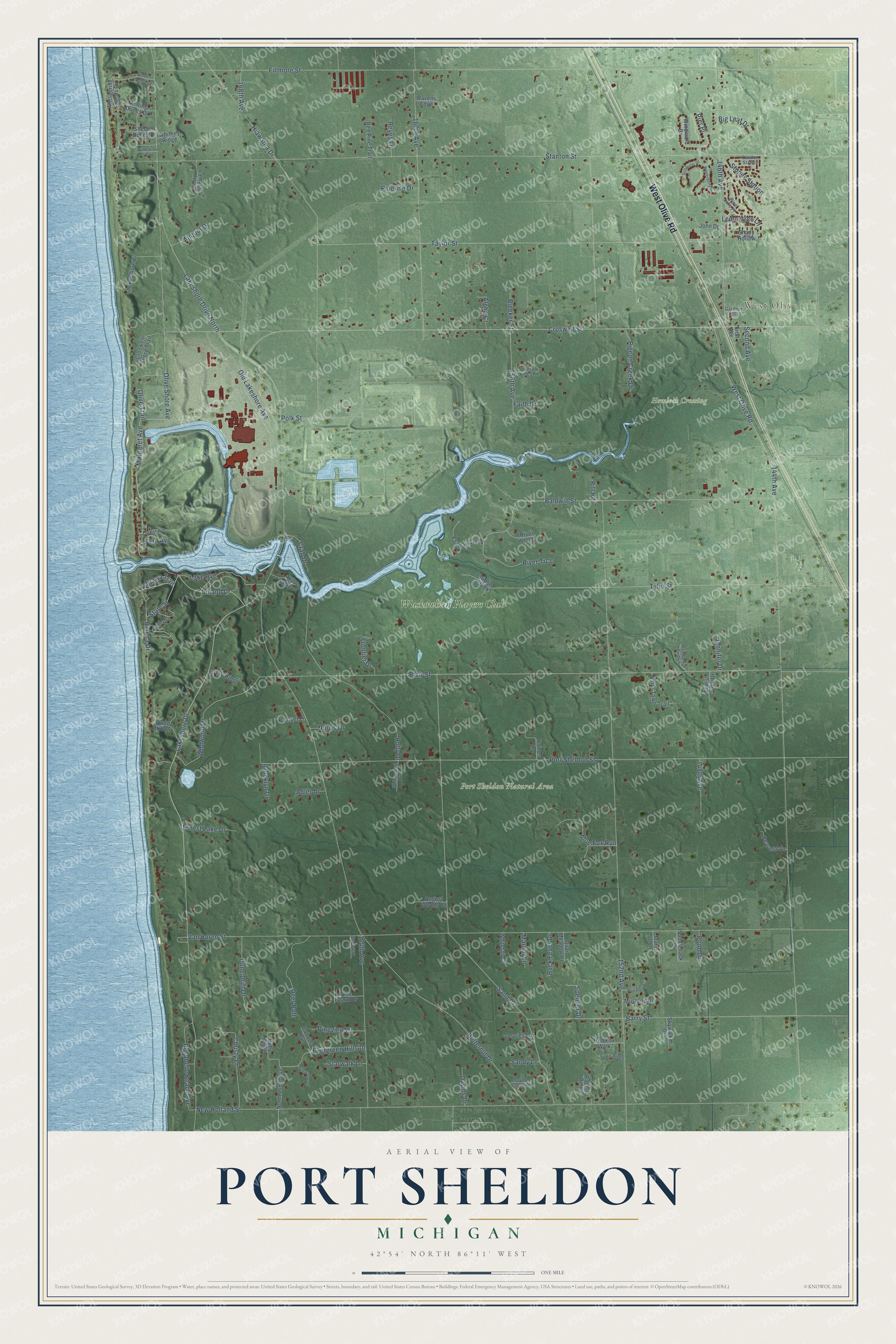
This beautifully detailed map of Port Sheldon, Michigan was created in 2026 using aerial imagery combined with modern topographical, census, street and landmark data. It's a modern aerial view of Port Sheldon in Ottawa County, Michigan, that combines modern data with a vintage aesthetic. The roads feature printed names, and if you look closely you can find your exact house accurately shown in its correct location.
Explore an aerial view of Port Sheldon, Michigan
On this map you'll find West Olive, Hemlock Crossing, Port Sheldon Natural Area, Wuskowhan Players Club, West Olive Road, Lakeshore Drive, Inland Drive, Baldwin Street, Margaret Avenue, Polk Street, Croswell Street, 152nd Avenue, and more. Each red shape is a building, so zoom in on the preview and look for yours.
Every town has a first chapter, and Port Sheldon is no exception. The Compendium of Ottawa County puts it this way: "The settlement of Port Sheldon comes next in 1836, but its settlement was not permanent. It was entitled to the proud distinction of being the first wild-cat town in Michigan, and one of the first in the northwest."
The Census Bureau counted 5,206 people here in 2020.
Take a closer look at the Port Sheldon map
Names on this map
These names are printed on this map.
Places: West Olive, Hemlock Crossing, Port Sheldon Natural Area and Wuskowhan Players Club.
Streets and roads: West Olive Road, Lakeshore Drive, Inland Drive, Baldwin Street, Margaret Avenue, Polk Street, Croswell Street, Lakeshore Drive North, 152nd Avenue, Stanton Street, 144th Avenue, New Holland Street.
More street names, A to Z
146th Avenue, 148th Avenue, 156th Avenue, 160th Avenue, 164th Avenue, 168th Avenue, Adler Drive, Aliquot Drive, Alpha Court, August Woods Court, Barry Street, Big Leaf Drive, Blair Street, Bleeker Street, Blueberry Court, Blue Fox Run, Brooklyn Drive, Buck Fever Drive, Butternut Drive, Christy Lane, Coltons Run, Coyote Crossing, Crab Drive, Croswell Shore Trail, Davids Drive, Deer Path, Devries Lane, Dune Drift Drive, Evergreen Hills Drive, Fairway Creek, Faith Drive, Fawn Ridge, Fern Avenue, Fillmore Street, Firefly Ridge, First Avenue, Forest Avenue, Forest Creek Drive, Forest Lake Drive, Frontier Drive, Gardner Street, Haines Lane, Helena Drive, Henry Hollow Lane, Hiawatha Drive, Hidden Treasure Drive, Holly Drive, Jennifer Drive, John Drive, Lake Avenue, Lake Shore Drive, Lawton Station, Lemontree Lane, Lunker Lane, Martini Lane, Mary Jo Lane, Mustang Drive, Norris Drive, North 168th Avenue, North Town Trail, Old Lakeshore Avenue, Olive Shore Avenue, Olive Trail, Ottawa Trail, Peaceful Drive, Pier Place, Pigeon Creek Drive, Pine Cove Lane, Pine Island Drive, Pine Lake Place, Pineline Drive, Pineview Court, Pitt Road, Pond Drive, Port Sheldon Street, Quail Meadow Court, Rainbow's End Lane, Ravens Edge, Red Fox Walk, Red Pine Trail, Reyes Lane, Ridge Creek, River Trce, River Woods, Rolling Dunes Drive, Rolling Pines, Rosabelle Beach Avenue, Ruby Ridge, Saddleback Drive, Sand Drive, Sandy Lane, Second Avenue, Shady Hollow, Sheldon Dunes Drive, Skywalker Drive, Spencer Drive, Starwalk Lane, State Street, Stillwater Drive, Stoney Station, Taylor Street, Ten Hagen Drive, Tory Pines Road, Tyler Street, Valley Street, Van Buren Street, Whispering Sands Drive, Whispering Trail, Whitetail Court, Whitney Ridge, Wildwood Drive, Windchime Court, Windward Drive, Winterberry Drive, Wood Drift Drive, Wrenway Court.
Created by KNOWOL in 2026. The buildings are small red shapes, the roads carry their printed names, and shaded relief shows the shape of the land. The title panel reads "AERIAL VIEW OF PORT SHELDON, MICHIGAN" with 42°54' NORTH 86°11' WEST.
Hang it in the hallway, the office or the cabin, or give it to someone who left Port Sheldon and still calls it home. Open the preview and look for a street you know. See sizes and frames for the Port Sheldon map.