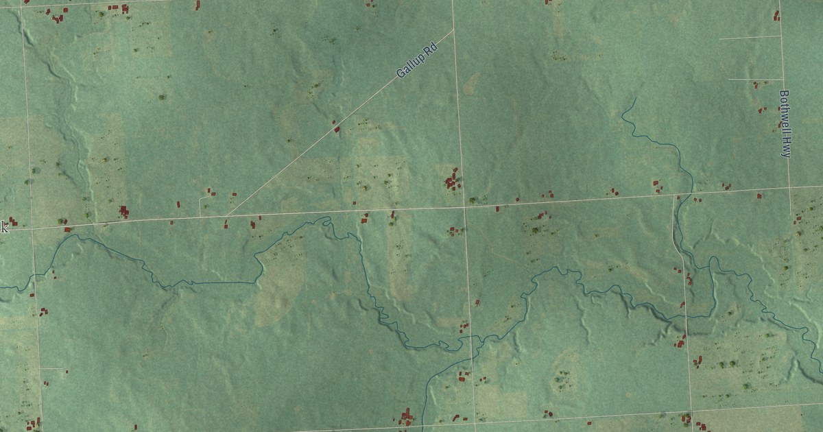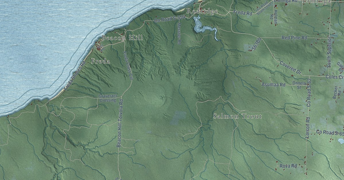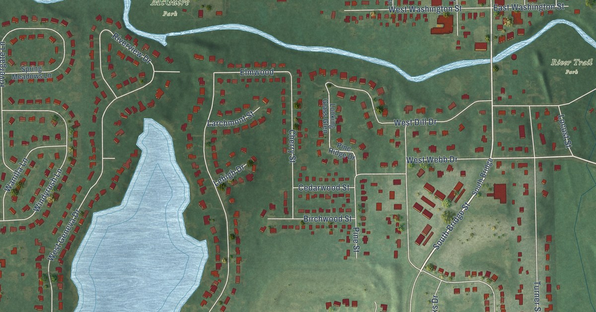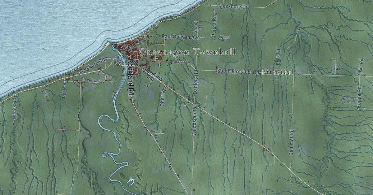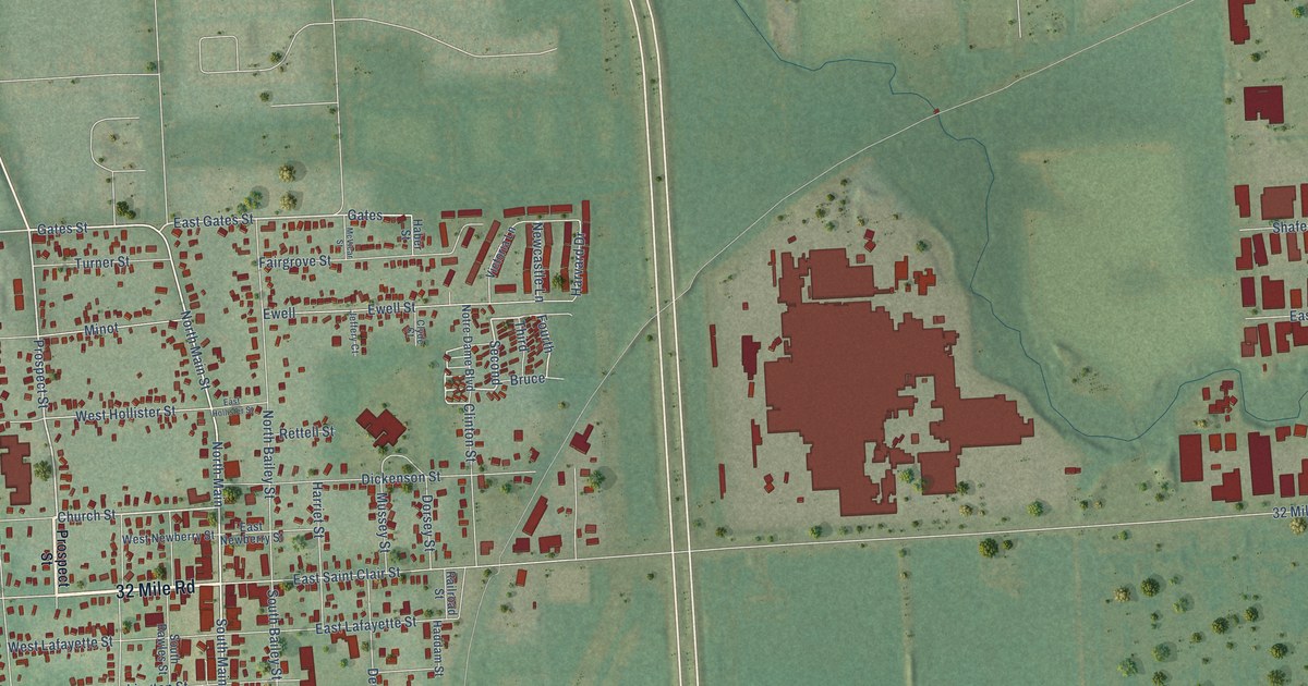
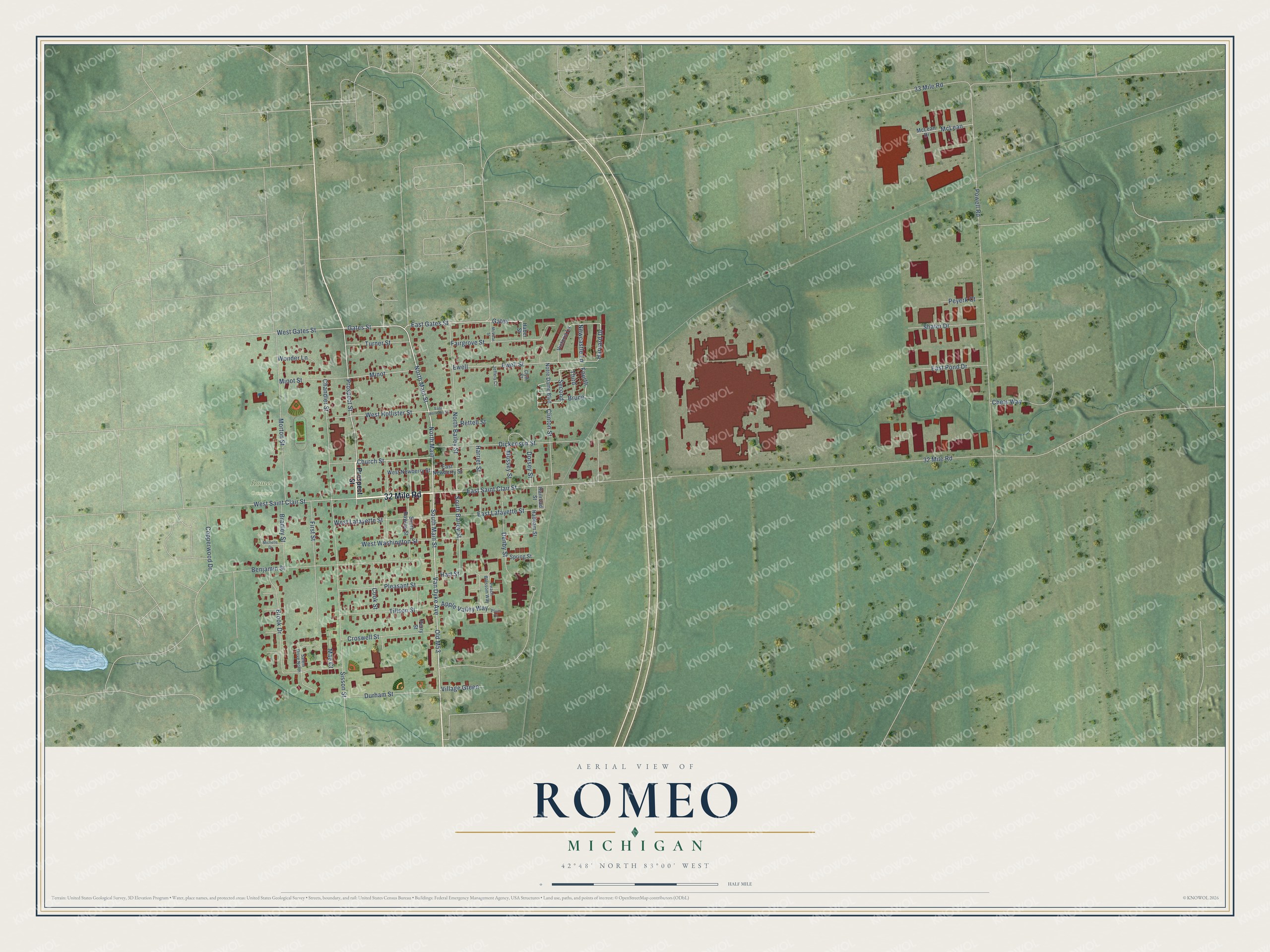
This beautifully detailed map of Romeo, Michigan was created in 2026 using aerial imagery combined with modern topographical, census, street and landmark data. It's a modern aerial view of Romeo in Macomb County, Michigan, that combines modern data with a vintage aesthetic. The roads feature printed names, and if you look closely you can find your exact house accurately shown in its correct location.
Explore an aerial view of Romeo, Michigan
On this map you'll find Romeo Cemetery, 32 Mile Road, Prospect Street, Gates Street, North Main Street, Second, Church Street, East Gates Street, Old M53, Van Dyke Avenue, South Main Street, North Main, and more. Each red shape is a building, so zoom in on the preview and look for yours.
Every town has a first chapter, and Romeo is no exception. The History of Macomb County puts it this way: "The First Christian Church of Romeo was organized October 12, 1867, with Nathan Keeler, Robert Hamilton, Daniel Flagler, Stephen Grinnell and Edward Soule, Trustees."
Romeo is a village in Macomb County. The Census Bureau counted 3,767 people here in 2020.
Take a closer look at the Romeo map
Names on this map
These names are printed on this map.
Places: Romeo Cemetery.
Streets and roads: 32 Mile Road, Prospect Street, Gates Street, North Main Street, Second, Church Street, East Gates Street, Old M53, Van Dyke Avenue, South Main Street, North Main, Fourth.
More street names, A to Z
33 Mile Road, Apple Valley Way, Benjamin Street, Bradley Street, Brook Drive, Bruce, Chandler Street, Chets Way, Clinton Street, Clyde Court, Cook Street, Copperwood Drive, Croswell Street, Denby Street, Dickenson Street, Dorsey Street, Durham Street, East Hollister Street, East Lafayette Street, East Newberry Street, East Pond Drive, East Saint Clair Street, Ewell, Ewell Street, Fairgrove Street, First Street, Gates, Haber Street, Haddam Street, Harriet Street, Hart Street, Harvard Drive, Jeffery Court, Mae Court, McLean, McLean Drive, McVicar Street, Michelle Drive, Minot, Minot Street, Morton Street, Mussey Street, Newcastle Lane, North Bailey Street, Notre Dame Boulevard, Peach Blossom Way, Perry Street, Peyerk Court, Pleasant Street, Plum Court, Powell Road, Railroad Street, Rettell Street, Salem Drive North, Shafer Drive, Sisson Street, South Bailey Street, South Rawles Street, Spring Street, Third, Tillson Street, Turner Street, Victoria Lane, Village Green, West Gates Street, West Hollister Street, West Lafayette Street, West Newberry Street, West Saint Clair Street, West Washington Street, Wonder Lane.
Created by KNOWOL in 2026. The buildings are small red shapes, the roads carry their printed names, and shaded relief shows the shape of the land. The title panel reads "AERIAL VIEW OF ROMEO, MICHIGAN" with 42°48' NORTH 83°00' WEST.
Hang it in the hallway, the office or the cabin, or give it to someone who left Romeo and still calls it home. Open the preview and look for a street you know. See sizes and frames for the Romeo map.