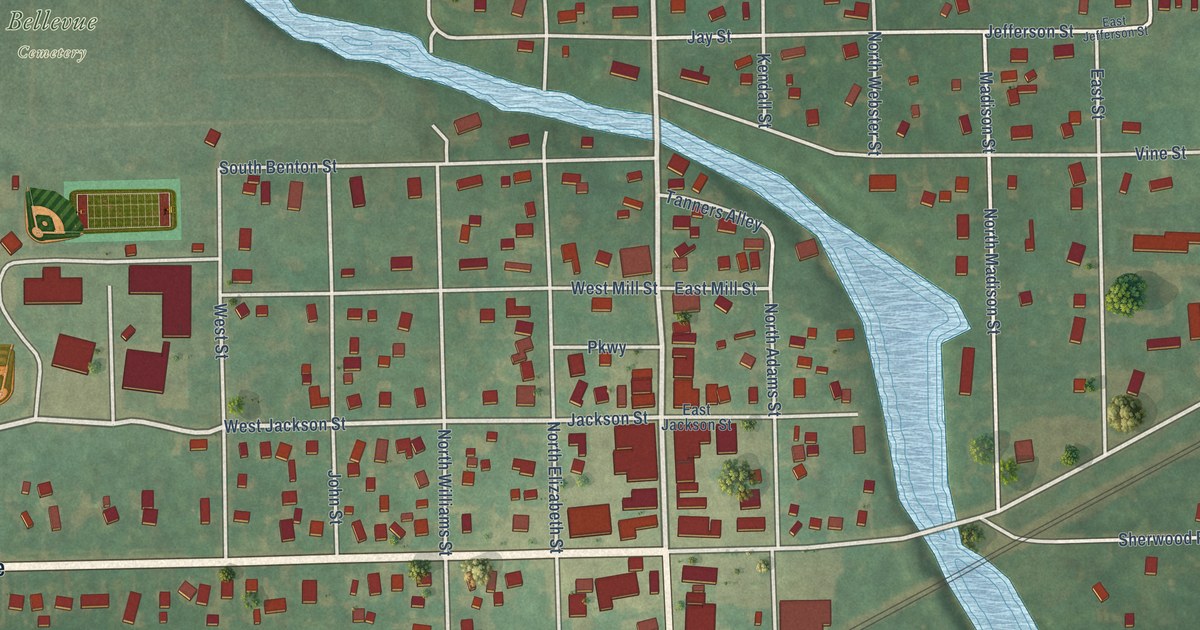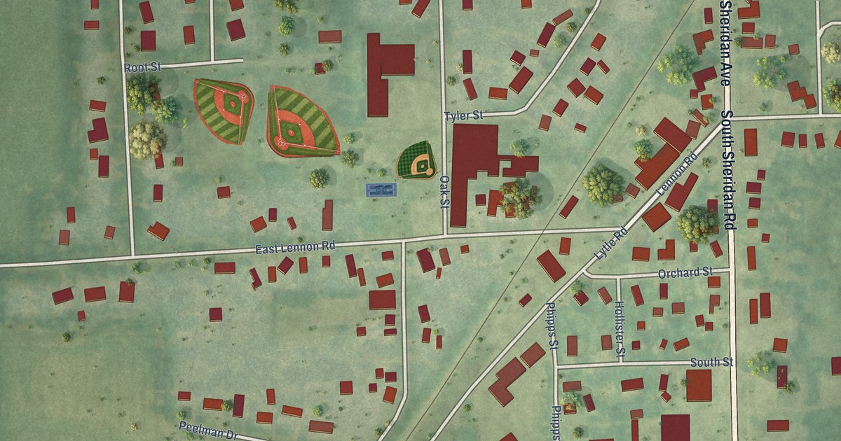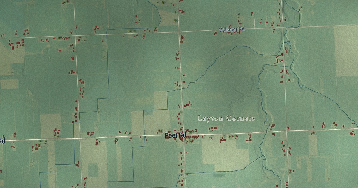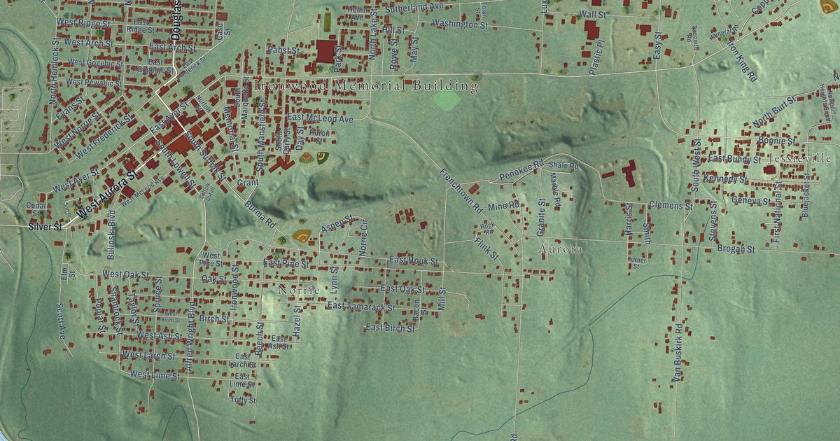
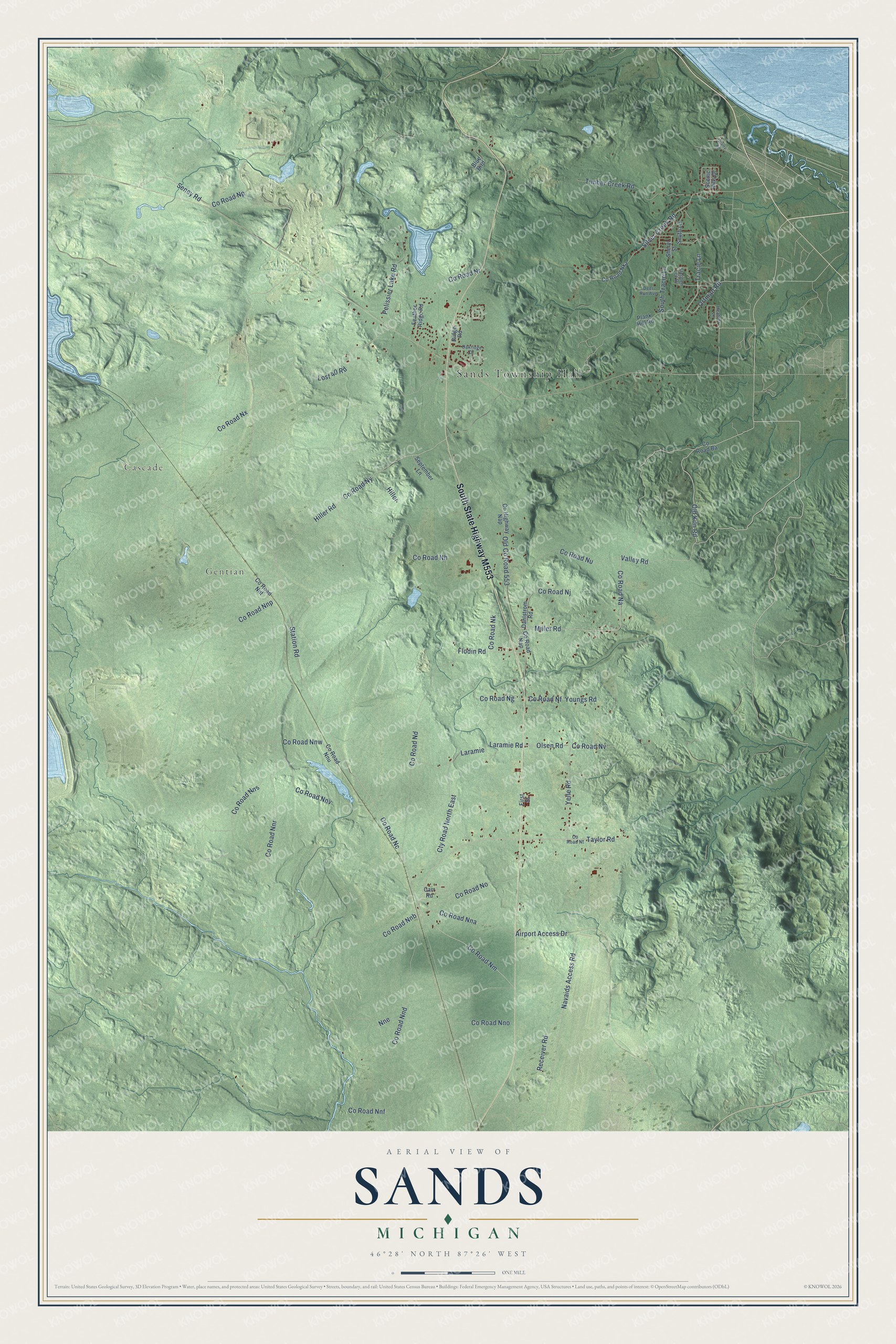
This beautifully detailed map of Sands, Michigan was created in 2026 using aerial imagery combined with modern topographical, census, street and landmark data. It's a modern aerial view of Sands in Marquette County, Michigan, that combines modern data with a vintage aesthetic. The roads feature printed names, and if you look closely you can find your exact house accurately shown in its correct location.
Explore an aerial view of Sands, Michigan
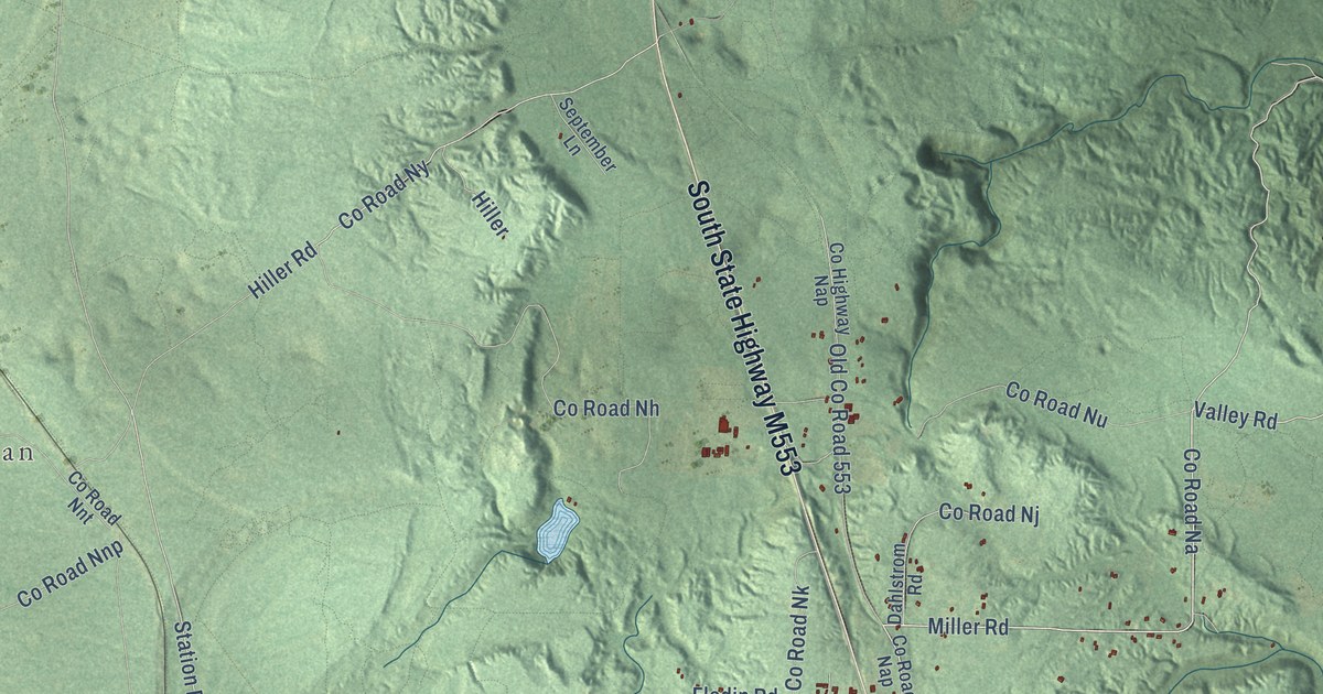
On this map you'll find Sands Township Hall, Cascade, Gentian, South State Highway M553, Station Road, Miller Road, Co Road Na, Yelle Road, Old Kiln Road, Valley Road, Co Road Nm, Co Road No, and more. Each red shape is a building, so zoom in on the preview and look for yours.
The Census Bureau counted 2,310 people here in 2020. The map prints the town name in its title panel, with the coordinates below it.
Take a closer look at the Sands map
Names on this map
These names are printed on this map.
Places: Sands Township Hall, Cascade and Gentian.
Streets and roads: Station Road, Miller Road, County Road Na, Yelle Road, Old Kiln Road, Valley Road, County Road Nm, County Road No, Tracie Lane, Ortman Road, County Road Ny, County Road Nc.
More street names, A to Z
Airport Access Drive, Blue Bird, Carr Road, County Highway Nap, County Road Ba, County Road Nap, County Road Nd, County Road Nf, County Road Ng, County Road Nh, County Road Nj, County Road Nk, County Road Nka, County Road Nna, County Road Nnb, County Road Nnd, County Road Nnf, County Road Nno, County Road Nnp, County Road Nnr, County Road Nns, County Road Nnt, County Road Nnu, County Road Nnv, County Road Nnw, County Road Np, County Road Nr, County Road Nt, County Road Nu, County Road Nv, County Road Nx, Cty Road North East, Dahlstrom Road, Deer Run Avenue, Feather Ridge Road, First Street, Flodin Road, Heather Lane, Hiller, Hiller Road, Laramie, Laramie Road, Lost 40 Road, Navaids Access Road, Nne, Oakridge Drive, Old County Road 553, Olsen Road, Pelissier Lake Road, Plank Hill Road, Quarry Road, Receiver Road, Ridge Road, Scenic Hills Drive, Seney Road, September Lane, Sheryl Street, Silver Creek Road, Smith Lane, South Tracie Lane, Stephen Lee Drive, Taylor Road, Timber Creek Road, Youngs Road.
Created by KNOWOL in 2026. The buildings are small red shapes, the roads carry their printed names, and shaded relief shows the shape of the land. The title panel reads "AERIAL VIEW OF SANDS, MICHIGAN" with 46°28' NORTH 87°26' WEST.
It looks right in a kitchen, an office or a den, and it's a gift for anyone who grew up in Sands or moved away. Open the preview and find your street. See sizes and frames for the Sands map.